Rowland is a town in Rowland Township, Robeson County, North Carolina, United States. The population was 1,037 at the 2010 census.
| Name: | Rowland town |
|---|---|
| LSAD Code: | 43 |
| LSAD Description: | town (suffix) |
| State: | North Carolina |
| County: | Robeson County |
| Elevation: | 144 ft (44 m) |
| Total Area: | 1.05 sq mi (2.73 km²) |
| Land Area: | 1.05 sq mi (2.73 km²) |
| Water Area: | 0.00 sq mi (0.00 km²) |
| Total Population: | 885 |
| Population Density: | 841.25/sq mi (324.74/km²) |
| ZIP code: | 28383 |
| FIPS code: | 3758140 |
| GNISfeature ID: | 0993774 |
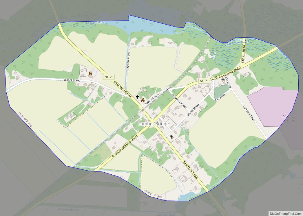
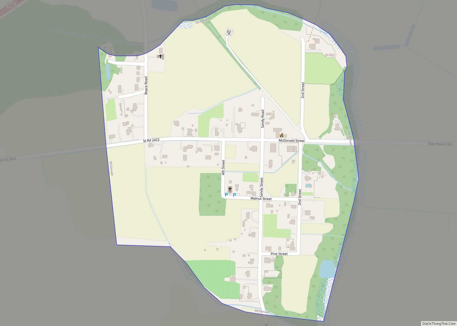
Online Interactive Map
Click on ![]() to view map in "full screen" mode.
to view map in "full screen" mode.
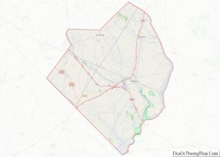
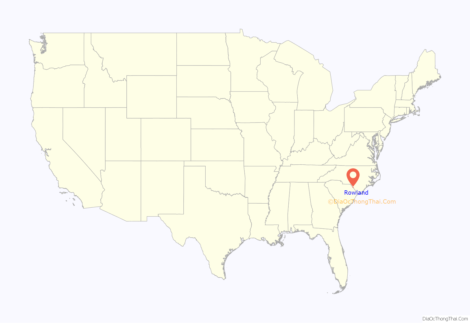
Rowland location map. Where is Rowland town?

History
The congregation of the Ashpole Presbyterian Church was founded in the eventual bounds of the community in 1796. Rowland was incorporated in 1889 and named in honor of Alfred Rowland. The first brick building in the town, a hotel and store, was erected in 1892. Rowland served as a key market for regional tobacco production until the sector declined in the 1970s. By the mid-2000s the downtown was in physical decline, though by 2015 work had been done to clean up the main thoroughfare and maintain its buildings. The Ashpole Presbyterian Church, Centenary Methodist Church, Rowland Depot, and Rowland Main Street Historic District are listed on the National Register of Historic Places.
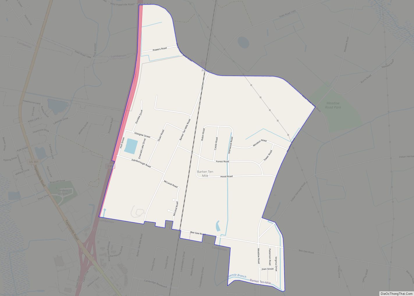
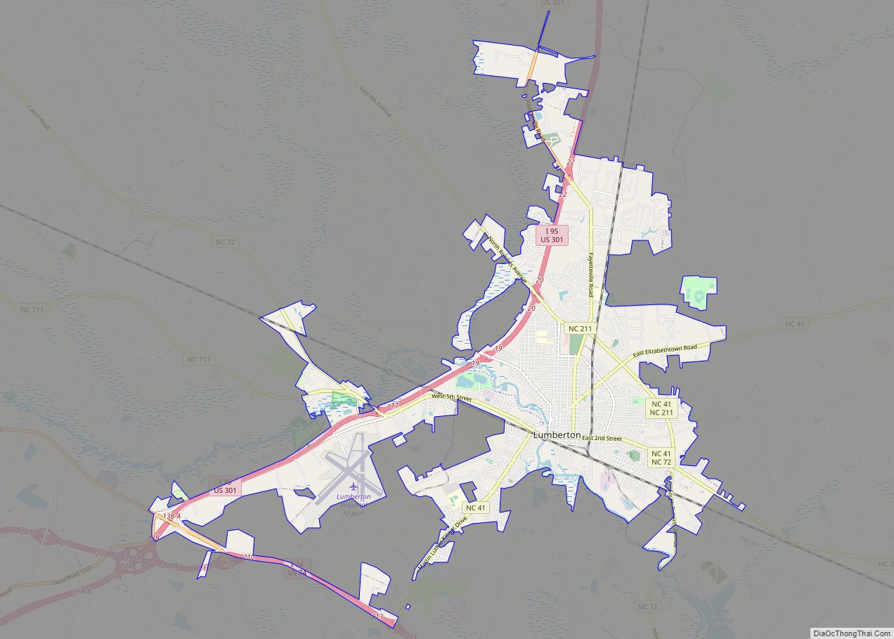
Rowland Road Map
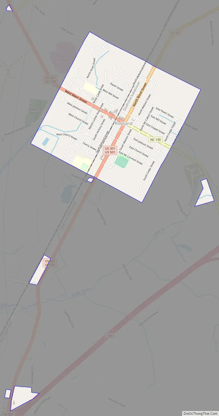
Rowland city Satellite Map

Geography
Rowland is located at 34°32′7″N 79°17′33″W / 34.53528°N 79.29250°W / 34.53528; -79.29250 (34.535357, -79.292548).
According to the United States Census Bureau, the town has a total area of 1.1 square miles (2.8 km), all land.
On Interstate 95, it is one exit north of a roadside attraction called South of the Border.
See also
Map of North Carolina State and its subdivision:- Alamance
- Alexander
- Alleghany
- Anson
- Ashe
- Avery
- Beaufort
- Bertie
- Bladen
- Brunswick
- Buncombe
- Burke
- Cabarrus
- Caldwell
- Camden
- Carteret
- Caswell
- Catawba
- Chatham
- Cherokee
- Chowan
- Clay
- Cleveland
- Columbus
- Craven
- Cumberland
- Currituck
- Dare
- Davidson
- Davie
- Duplin
- Durham
- Edgecombe
- Forsyth
- Franklin
- Gaston
- Gates
- Graham
- Granville
- Greene
- Guilford
- Halifax
- Harnett
- Haywood
- Henderson
- Hertford
- Hoke
- Hyde
- Iredell
- Jackson
- Johnston
- Jones
- Lee
- Lenoir
- Lincoln
- Macon
- Madison
- Martin
- McDowell
- Mecklenburg
- Mitchell
- Montgomery
- Moore
- Nash
- New Hanover
- Northampton
- Onslow
- Orange
- Pamlico
- Pasquotank
- Pender
- Perquimans
- Person
- Pitt
- Polk
- Randolph
- Richmond
- Robeson
- Rockingham
- Rowan
- Rutherford
- Sampson
- Scotland
- Stanly
- Stokes
- Surry
- Swain
- Transylvania
- Tyrrell
- Union
- Vance
- Wake
- Warren
- Washington
- Watauga
- Wayne
- Wilkes
- Wilson
- Yadkin
- Yancey
- Alabama
- Alaska
- Arizona
- Arkansas
- California
- Colorado
- Connecticut
- Delaware
- District of Columbia
- Florida
- Georgia
- Hawaii
- Idaho
- Illinois
- Indiana
- Iowa
- Kansas
- Kentucky
- Louisiana
- Maine
- Maryland
- Massachusetts
- Michigan
- Minnesota
- Mississippi
- Missouri
- Montana
- Nebraska
- Nevada
- New Hampshire
- New Jersey
- New Mexico
- New York
- North Carolina
- North Dakota
- Ohio
- Oklahoma
- Oregon
- Pennsylvania
- Rhode Island
- South Carolina
- South Dakota
- Tennessee
- Texas
- Utah
- Vermont
- Virginia
- Washington
- West Virginia
- Wisconsin
- Wyoming