Rutherford College is a town in Burke County, North Carolina, United States. As of the 2010 census, the town population was 1,341. It is part of the Hickory–Lenoir–Morganton Metropolitan Statistical Area.
The town was named for the college that was once located there, Rutherford College, which operated from the 1850s until the 1930s. The campus was later purchased by Valdese General Hospital.
| Name: | Rutherford College town |
|---|---|
| LSAD Code: | 43 |
| LSAD Description: | town (suffix) |
| State: | North Carolina |
| County: | Burke County |
| Elevation: | 1,204 ft (367 m) |
| Total Area: | 2.30 sq mi (5.95 km²) |
| Land Area: | 2.30 sq mi (5.95 km²) |
| Water Area: | 0.00 sq mi (0.00 km²) |
| Total Population: | 1,226 |
| Population Density: | 533.74/sq mi (206.04/km²) |
| ZIP code: | 28671 |
| Area code: | 828 |
| FIPS code: | 3758440 |
| GNISfeature ID: | 1024878 |
| Website: | www.rutherfordcollegenc.us |
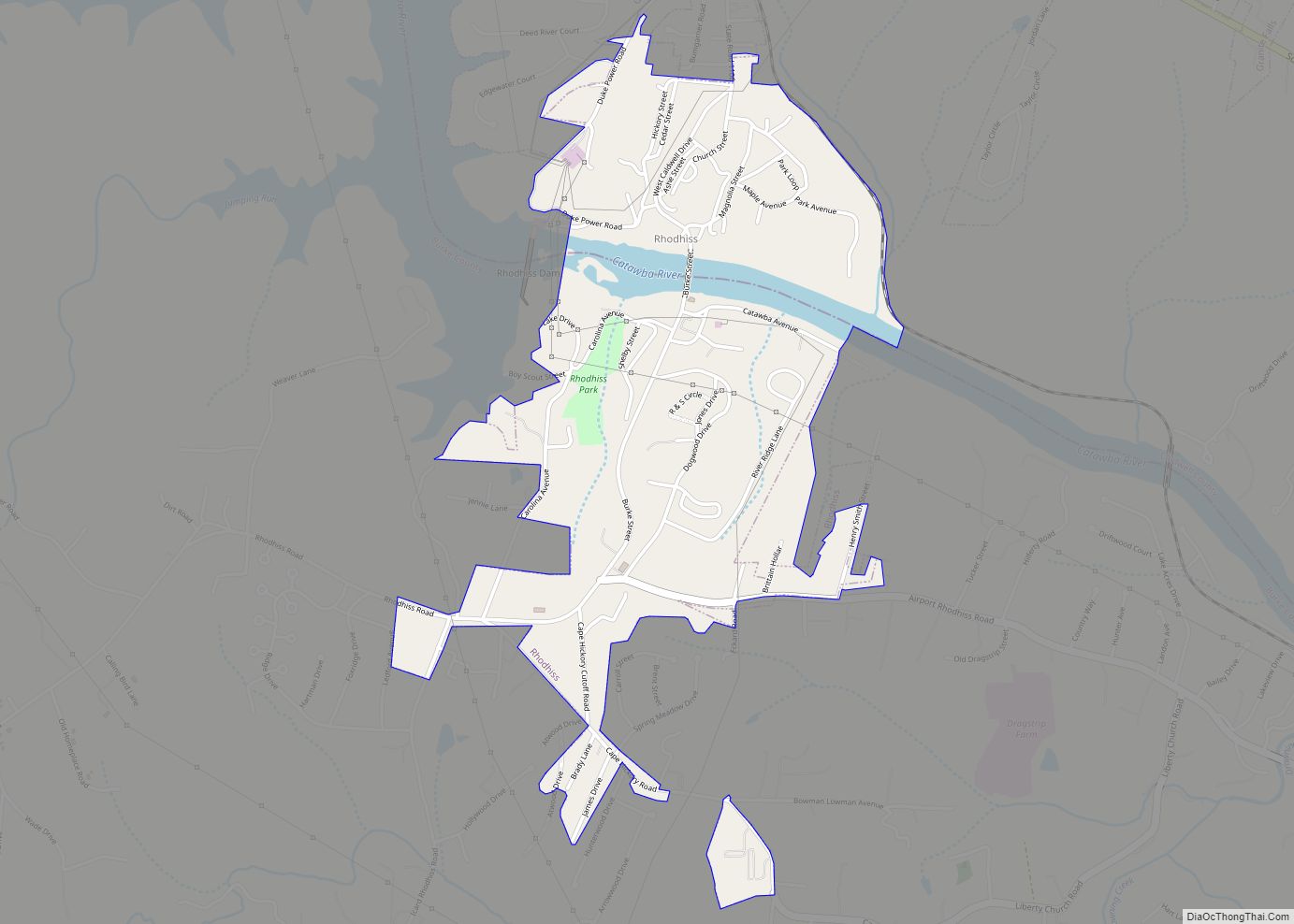
Online Interactive Map
Click on ![]() to view map in "full screen" mode.
to view map in "full screen" mode.
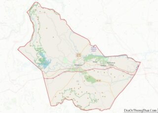
Rutherford College location map. Where is Rutherford College town?


Rutherford College Road Map

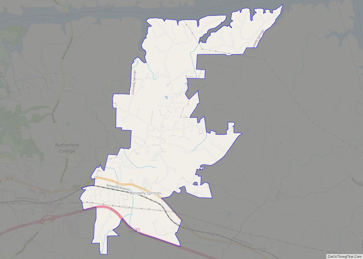
Rutherford College city Satellite Map

Geography
Rutherford College is located in eastern Burke County at 35°44′45″N 81°31′43″W / 35.74583°N 81.52861°W / 35.74583; -81.52861 (35.745825, -81.528737). It is bordered by Valdese to the west and Connelly Springs to the east.
U.S. Route 70 passes east–west through the southern part of town, and Interstate 40 passes through the southernmost section of the town, with access from exit 113. Morganton, the county seat, is 9 miles (14 km) to the west, and Hickory is 12 miles (19 km) to the east. The town is 65 miles (105 km) east of Asheville, 66 miles (106 km) northwest of Charlotte, and 184 miles (296 km) west of the North Carolina state capital of Raleigh.
According to the United States Census Bureau, the town has a total area of 2.3 square miles (5.9 km), all of it land.
See also
Map of North Carolina State and its subdivision:- Alamance
- Alexander
- Alleghany
- Anson
- Ashe
- Avery
- Beaufort
- Bertie
- Bladen
- Brunswick
- Buncombe
- Burke
- Cabarrus
- Caldwell
- Camden
- Carteret
- Caswell
- Catawba
- Chatham
- Cherokee
- Chowan
- Clay
- Cleveland
- Columbus
- Craven
- Cumberland
- Currituck
- Dare
- Davidson
- Davie
- Duplin
- Durham
- Edgecombe
- Forsyth
- Franklin
- Gaston
- Gates
- Graham
- Granville
- Greene
- Guilford
- Halifax
- Harnett
- Haywood
- Henderson
- Hertford
- Hoke
- Hyde
- Iredell
- Jackson
- Johnston
- Jones
- Lee
- Lenoir
- Lincoln
- Macon
- Madison
- Martin
- McDowell
- Mecklenburg
- Mitchell
- Montgomery
- Moore
- Nash
- New Hanover
- Northampton
- Onslow
- Orange
- Pamlico
- Pasquotank
- Pender
- Perquimans
- Person
- Pitt
- Polk
- Randolph
- Richmond
- Robeson
- Rockingham
- Rowan
- Rutherford
- Sampson
- Scotland
- Stanly
- Stokes
- Surry
- Swain
- Transylvania
- Tyrrell
- Union
- Vance
- Wake
- Warren
- Washington
- Watauga
- Wayne
- Wilkes
- Wilson
- Yadkin
- Yancey
- Alabama
- Alaska
- Arizona
- Arkansas
- California
- Colorado
- Connecticut
- Delaware
- District of Columbia
- Florida
- Georgia
- Hawaii
- Idaho
- Illinois
- Indiana
- Iowa
- Kansas
- Kentucky
- Louisiana
- Maine
- Maryland
- Massachusetts
- Michigan
- Minnesota
- Mississippi
- Missouri
- Montana
- Nebraska
- Nevada
- New Hampshire
- New Jersey
- New Mexico
- New York
- North Carolina
- North Dakota
- Ohio
- Oklahoma
- Oregon
- Pennsylvania
- Rhode Island
- South Carolina
- South Dakota
- Tennessee
- Texas
- Utah
- Vermont
- Virginia
- Washington
- West Virginia
- Wisconsin
- Wyoming