Spencer Mountain is a town in Gaston County, North Carolina, United States. The population was 37 at the 2010 census.
| Name: | Spencer Mountain town |
|---|---|
| LSAD Code: | 43 |
| LSAD Description: | town (suffix) |
| State: | North Carolina |
| County: | Gaston County |
| Incorporated: | 1963 |
| Elevation: | 679 ft (207 m) |
| Total Area: | 0.54 sq mi (1.40 km²) |
| Land Area: | 0.49 sq mi (1.26 km²) |
| Water Area: | 0.05 sq mi (0.14 km²) |
| Total Population: | 0 |
| Population Density: | 0.00/sq mi (0.00/km²) |
| ZIP code: | 28054 |
| Area code: | 704 |
| FIPS code: | 3763780 |
| GNISfeature ID: | 1022733 |
Online Interactive Map
Click on ![]() to view map in "full screen" mode.
to view map in "full screen" mode.
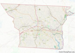
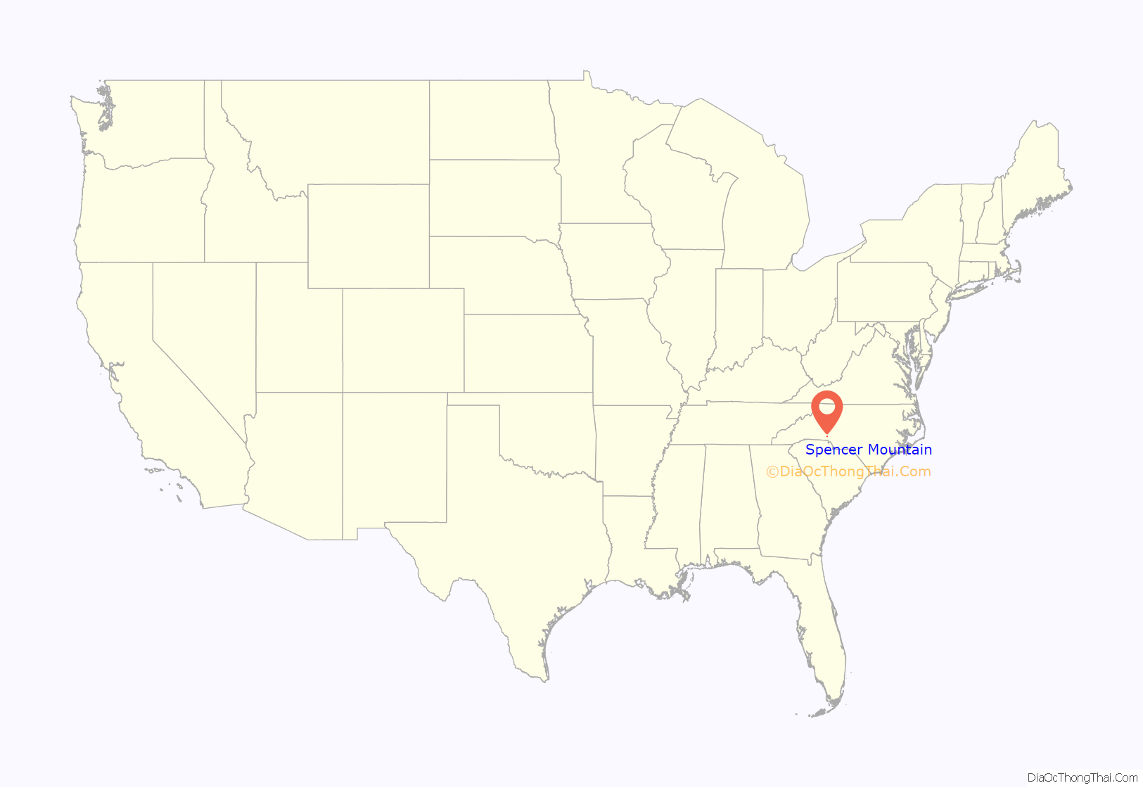
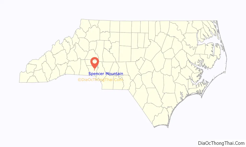
Spencer Mountain location map. Where is Spencer Mountain town?
History
Spencer Mountain was settled in 1772 by Zachariah Spencer, a local Tory. In 1874, J. Harvey Wilson II built a water-powered textile mill (Wilson & Moore Cotton Mill) at the base of Spencer Mountain. W. Thomas Love and John C. Rankin purchased the mill in 1895 and changed its name to Spencer Mountain Mills. A predecessor of Duke Power purchased the mill and the hydroelectric plant that powered it in 1926. The mill was purchased by Pharr Yarns in 1957 and was shut down in 1999. Spencer Mountain was incorporated for a brief period of time between 1895 and 1909 and again in 1963.
On July 15, 1949, WBTV, the CBS affiliate for the Charlotte area, broadcast the first commercial television signal in the Carolinas from its transmitter on Spencer Mountain. WBTV’s transmitter remained on Spencer Mountain until 1984, when a new transmitter tower was completed in Dallas, North Carolina, in the north-central portion of Gaston County. The old transmitter tower on Spencer Mountain has since been truncated, but it is still in use by various groups, including NOAA, and local amateur radio clubs.
In August 2018, the former gas station and Spencer Mountain Mansion were razed.
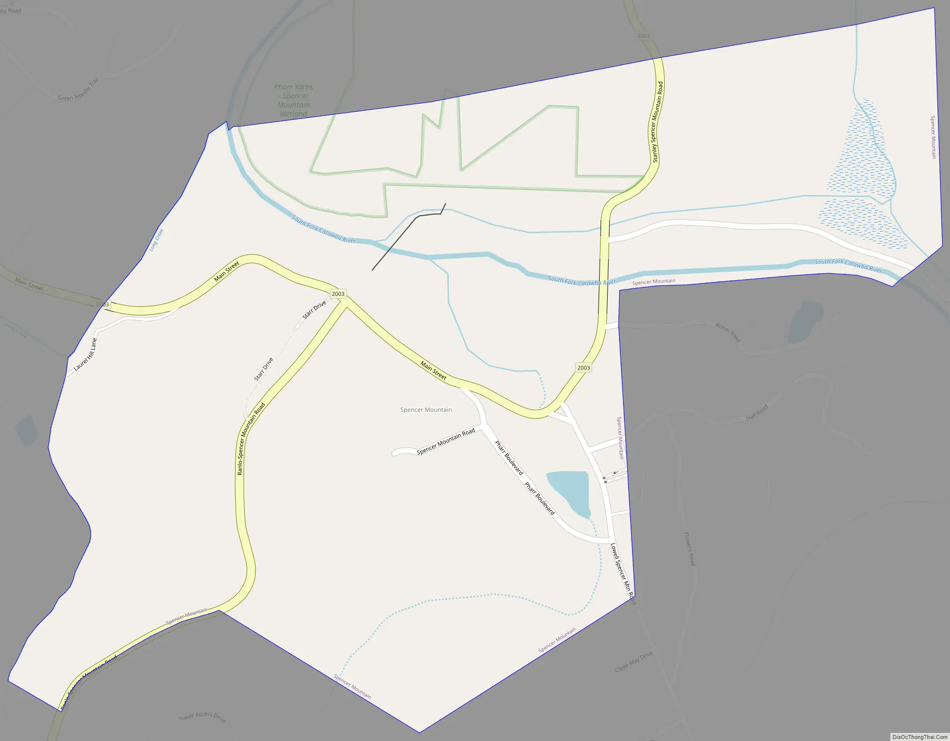
Spencer Mountain Road Map
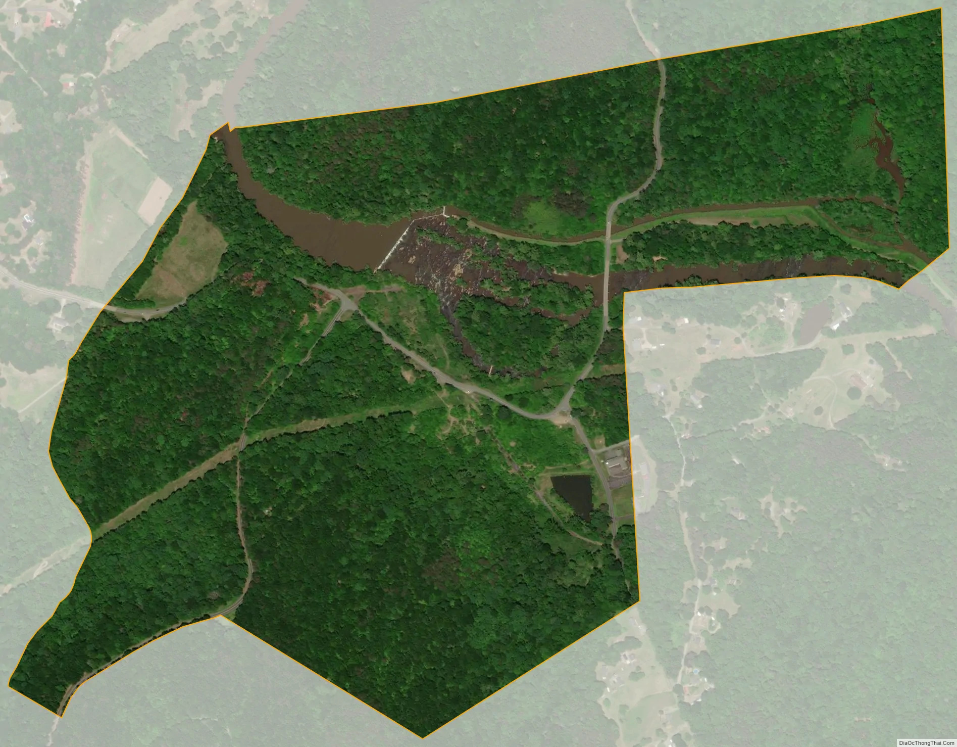
Spencer Mountain city Satellite Map
Geography
The town is located at 35°18′29″N 81°6′31″W / 35.30806°N 81.10861°W / 35.30806; -81.10861 (35.308017, -81.108656) at the base of Spencer Mountain, a 1,250-foot (380 m) summit to the south. The town is sited along the South Fork Catawba River at an elevation of 679 feet (207 m).
According to the United States Census Bureau, the town has a total area of 0.54 square miles (1.4 km), of which 0.50 square miles (1.3 km) is land and 0.04 square miles (0.1 km), or 9.77%, is water.
See also
Map of North Carolina State and its subdivision:- Alamance
- Alexander
- Alleghany
- Anson
- Ashe
- Avery
- Beaufort
- Bertie
- Bladen
- Brunswick
- Buncombe
- Burke
- Cabarrus
- Caldwell
- Camden
- Carteret
- Caswell
- Catawba
- Chatham
- Cherokee
- Chowan
- Clay
- Cleveland
- Columbus
- Craven
- Cumberland
- Currituck
- Dare
- Davidson
- Davie
- Duplin
- Durham
- Edgecombe
- Forsyth
- Franklin
- Gaston
- Gates
- Graham
- Granville
- Greene
- Guilford
- Halifax
- Harnett
- Haywood
- Henderson
- Hertford
- Hoke
- Hyde
- Iredell
- Jackson
- Johnston
- Jones
- Lee
- Lenoir
- Lincoln
- Macon
- Madison
- Martin
- McDowell
- Mecklenburg
- Mitchell
- Montgomery
- Moore
- Nash
- New Hanover
- Northampton
- Onslow
- Orange
- Pamlico
- Pasquotank
- Pender
- Perquimans
- Person
- Pitt
- Polk
- Randolph
- Richmond
- Robeson
- Rockingham
- Rowan
- Rutherford
- Sampson
- Scotland
- Stanly
- Stokes
- Surry
- Swain
- Transylvania
- Tyrrell
- Union
- Vance
- Wake
- Warren
- Washington
- Watauga
- Wayne
- Wilkes
- Wilson
- Yadkin
- Yancey
- Alabama
- Alaska
- Arizona
- Arkansas
- California
- Colorado
- Connecticut
- Delaware
- District of Columbia
- Florida
- Georgia
- Hawaii
- Idaho
- Illinois
- Indiana
- Iowa
- Kansas
- Kentucky
- Louisiana
- Maine
- Maryland
- Massachusetts
- Michigan
- Minnesota
- Mississippi
- Missouri
- Montana
- Nebraska
- Nevada
- New Hampshire
- New Jersey
- New Mexico
- New York
- North Carolina
- North Dakota
- Ohio
- Oklahoma
- Oregon
- Pennsylvania
- Rhode Island
- South Carolina
- South Dakota
- Tennessee
- Texas
- Utah
- Vermont
- Virginia
- Washington
- West Virginia
- Wisconsin
- Wyoming