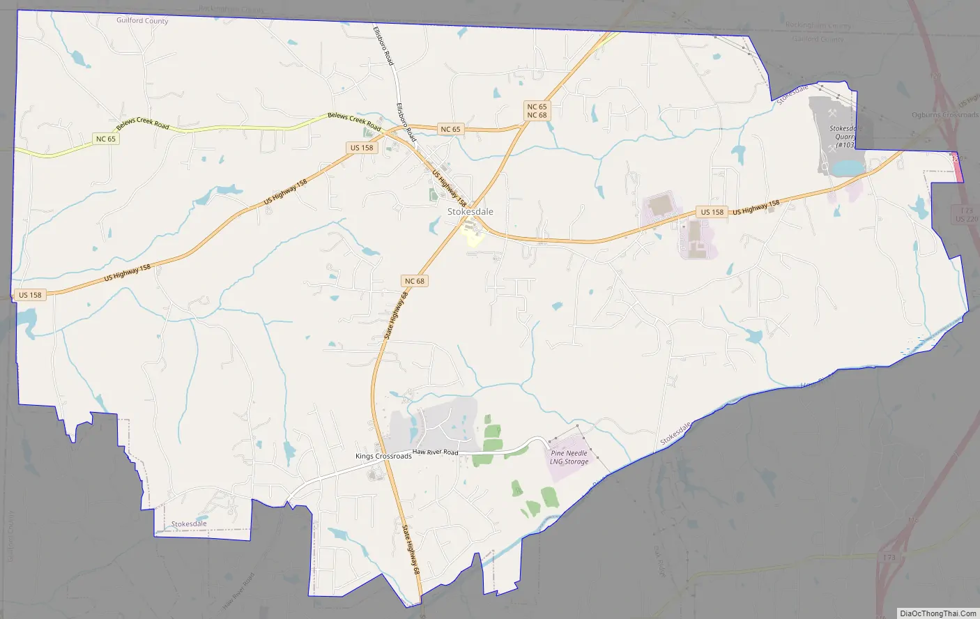
Stokesdale is a town in Guilford County with a small part in Rockingham County, North Carolina, United States. The population was 5,924 at the 2020 census. Belews Lake is located nearby, and North Carolina Highway 68 and North Carolina Highway 65 both intersect U.S. Route 158 near the town’s center.
| Name: | Stokesdale town |
|---|---|
| LSAD Code: | 43 |
| LSAD Description: | town (suffix) |
| State: | North Carolina |
| County: | Guilford County |
| Elevation: | 945 ft (288 m) |
| Total Area: | 19.18 sq mi (49.68 km²) |
| Land Area: | 19.03 sq mi (49.29 km²) |
| Water Area: | 0.15 sq mi (0.38 km²) |
| Total Population: | 5,924 |
| Population Density: | 311.25/sq mi (120.17/km²) |
| ZIP code: | 27357 |
| Area code: | 336 |
| FIPS code: | 3765040 |
| GNISfeature ID: | 1022797 |
| Website: | www.stokesdale.org |
Online Interactive Map
Click on ![]() to view map in "full screen" mode.
to view map in "full screen" mode.
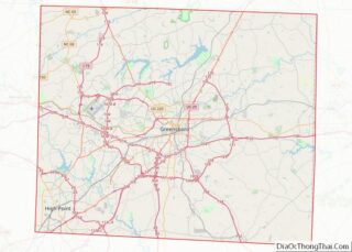
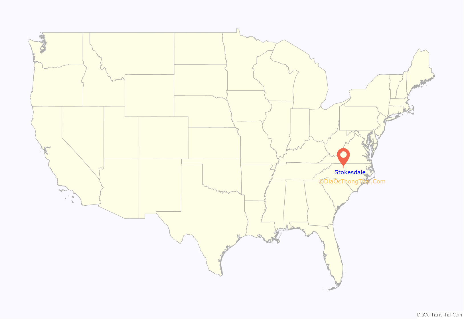
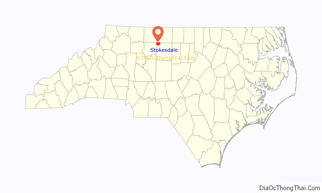
Stokesdale location map. Where is Stokesdale town?
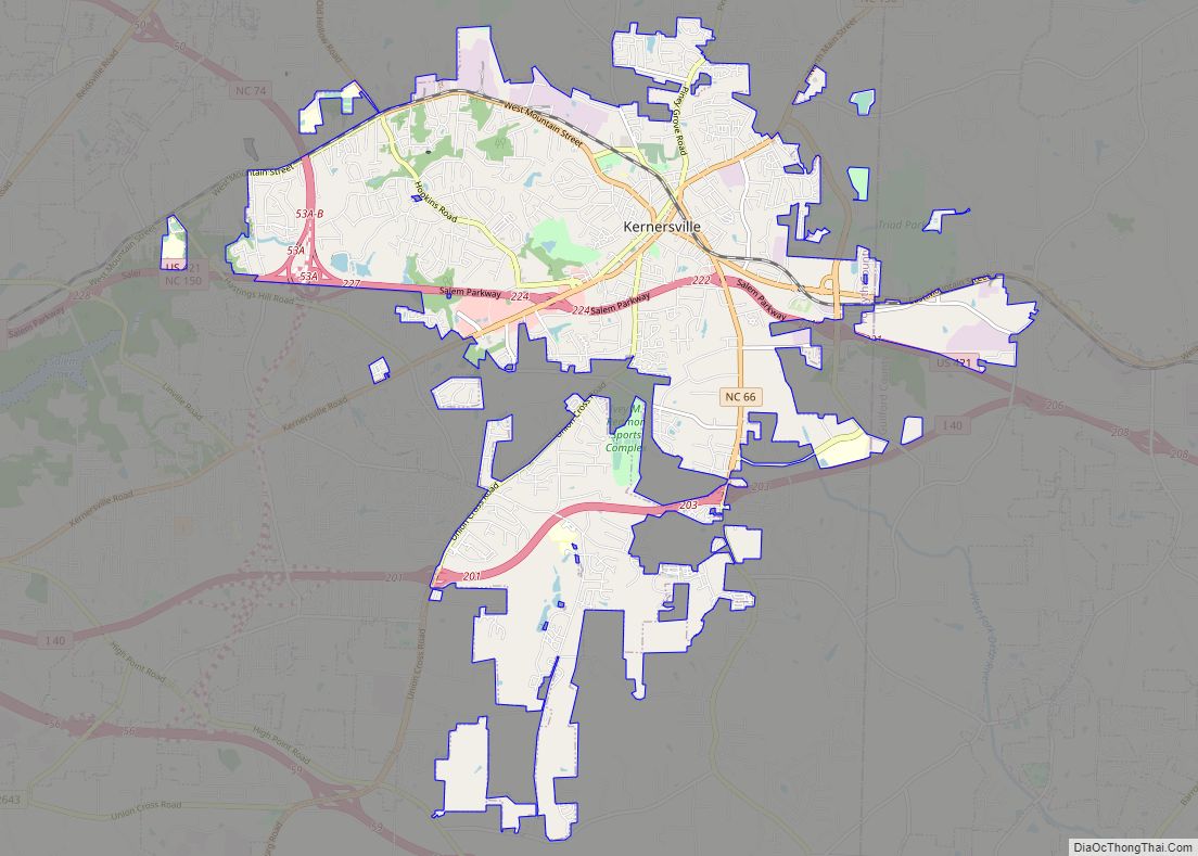
Stokesdale Road Map
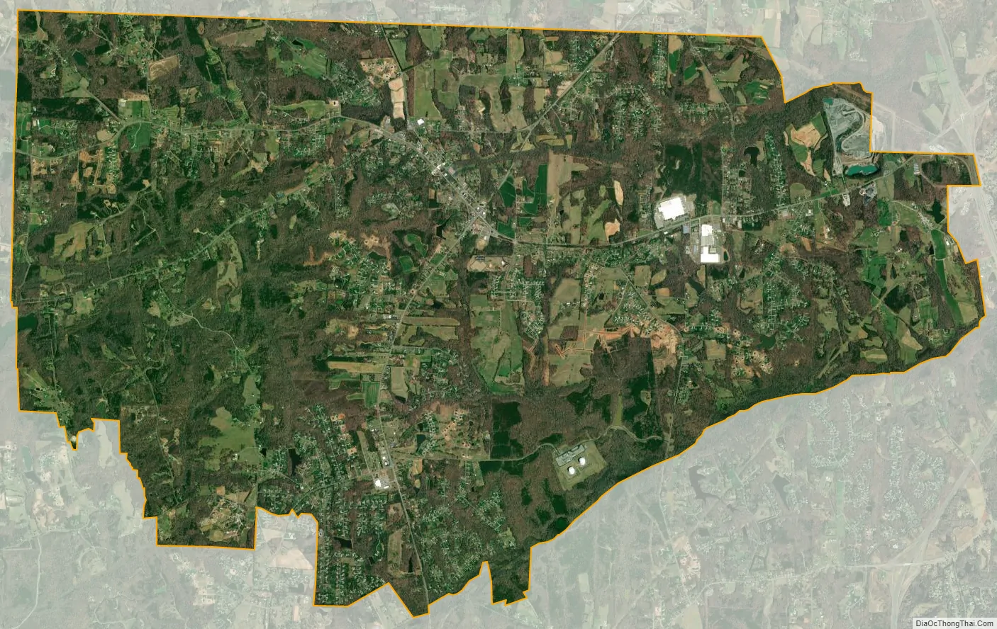
Stokesdale city Satellite Map
Geography
Stokesdale is located at 36°14′11″N 79°58′57″W / 36.23639°N 79.98250°W / 36.23639; -79.98250 (36.236371, -79.982393).
According to the United States Census Bureau, the town has a total area of 19.5 square miles (51 km), of which 19.4 square miles (50 km) is land and 0.1 square miles (0.26 km) (0.56%) is water. The town is located in the most northwesterly corner of Guilford County, right near where the four counties of Forsyth, Stokes, Rockingham, and Guilford Counties come together.
See also
Map of North Carolina State and its subdivision:- Alamance
- Alexander
- Alleghany
- Anson
- Ashe
- Avery
- Beaufort
- Bertie
- Bladen
- Brunswick
- Buncombe
- Burke
- Cabarrus
- Caldwell
- Camden
- Carteret
- Caswell
- Catawba
- Chatham
- Cherokee
- Chowan
- Clay
- Cleveland
- Columbus
- Craven
- Cumberland
- Currituck
- Dare
- Davidson
- Davie
- Duplin
- Durham
- Edgecombe
- Forsyth
- Franklin
- Gaston
- Gates
- Graham
- Granville
- Greene
- Guilford
- Halifax
- Harnett
- Haywood
- Henderson
- Hertford
- Hoke
- Hyde
- Iredell
- Jackson
- Johnston
- Jones
- Lee
- Lenoir
- Lincoln
- Macon
- Madison
- Martin
- McDowell
- Mecklenburg
- Mitchell
- Montgomery
- Moore
- Nash
- New Hanover
- Northampton
- Onslow
- Orange
- Pamlico
- Pasquotank
- Pender
- Perquimans
- Person
- Pitt
- Polk
- Randolph
- Richmond
- Robeson
- Rockingham
- Rowan
- Rutherford
- Sampson
- Scotland
- Stanly
- Stokes
- Surry
- Swain
- Transylvania
- Tyrrell
- Union
- Vance
- Wake
- Warren
- Washington
- Watauga
- Wayne
- Wilkes
- Wilson
- Yadkin
- Yancey
- Alabama
- Alaska
- Arizona
- Arkansas
- California
- Colorado
- Connecticut
- Delaware
- District of Columbia
- Florida
- Georgia
- Hawaii
- Idaho
- Illinois
- Indiana
- Iowa
- Kansas
- Kentucky
- Louisiana
- Maine
- Maryland
- Massachusetts
- Michigan
- Minnesota
- Mississippi
- Missouri
- Montana
- Nebraska
- Nevada
- New Hampshire
- New Jersey
- New Mexico
- New York
- North Carolina
- North Dakota
- Ohio
- Oklahoma
- Oregon
- Pennsylvania
- Rhode Island
- South Carolina
- South Dakota
- Tennessee
- Texas
- Utah
- Vermont
- Virginia
- Washington
- West Virginia
- Wisconsin
- Wyoming