Summerfield is a town in Guilford County, North Carolina. The population was 7,018 at the 2000 census. At the 2010 census, the population had risen to 10,232.
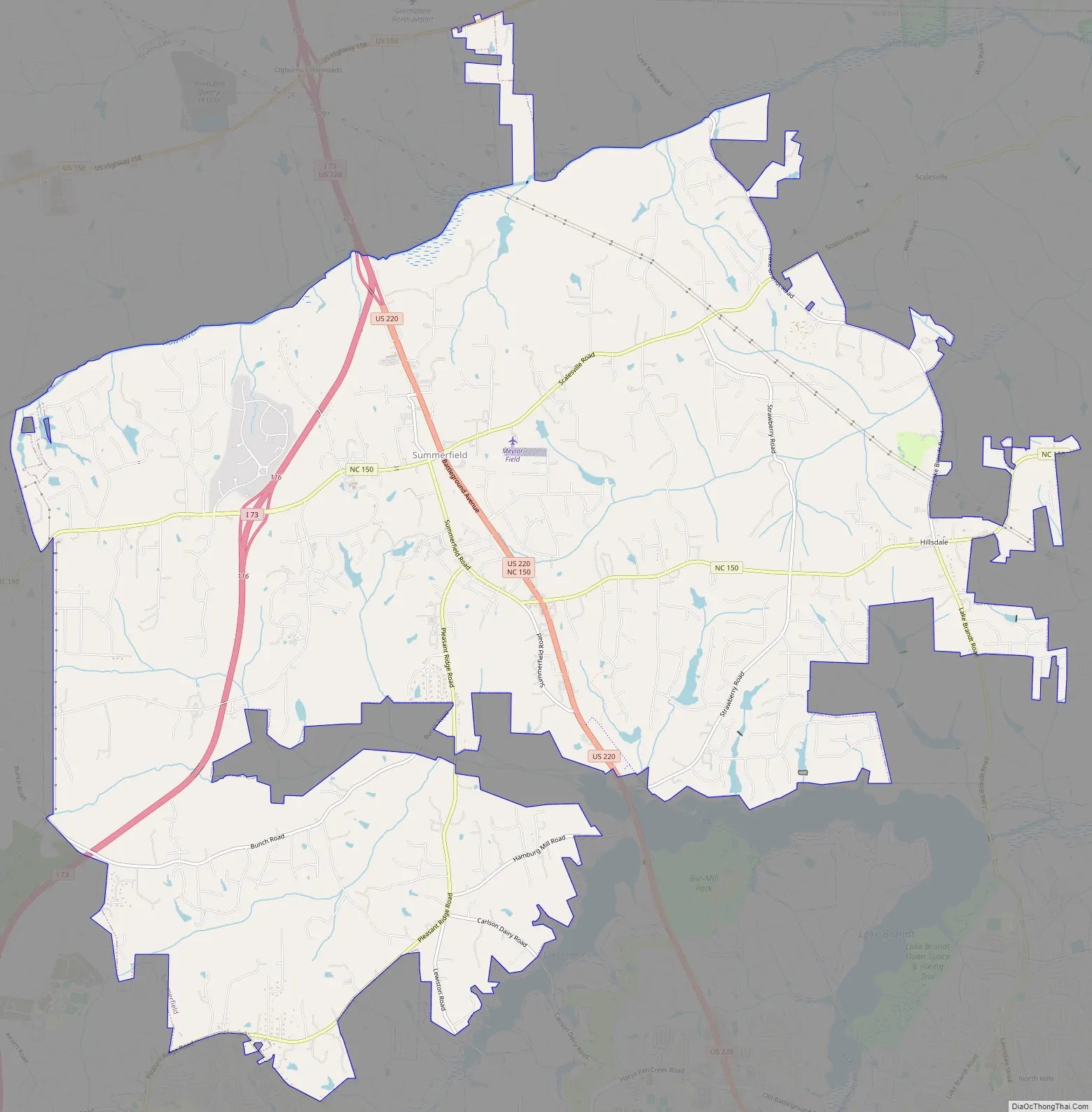
The town is largely regarded as a suburb of Greensboro and as development has grown, the town has slowly transformed from a rural farming area into a bedroom community. It features a town hall, along Oak Ridge Road (aka NC 150), west of Battleground Avenue (aka US 220), as well as a shopping center east of Battleground Avenue and Auburn Road, located on the eastern portion of NC 150. Interstate 73 passes just west of the town’s center, connecting with NC 150, and also connecting with US 158 in the northernmost part of the town.
| Name: | Summerfield town |
|---|---|
| LSAD Code: | 43 |
| LSAD Description: | town (suffix) |
| State: | North Carolina |
| County: | Guilford County |
| Elevation: | 909 ft (277 m) |
| Total Area: | 26.69 sq mi (69.12 km²) |
| Land Area: | 26.40 sq mi (68.37 km²) |
| Water Area: | 0.29 sq mi (0.75 km²) |
| Total Population: | 10,951 |
| Population Density: | 414.87/sq mi (160.18/km²) |
| ZIP code: | 27358 |
| Area code: | 336, 743 |
| FIPS code: | 3765580 |
| GNISfeature ID: | 0995685 |
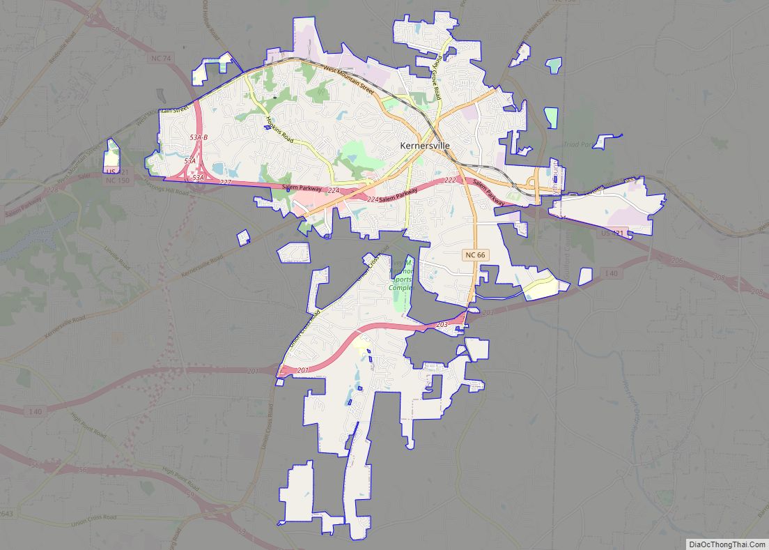
Online Interactive Map
Click on ![]() to view map in "full screen" mode.
to view map in "full screen" mode.
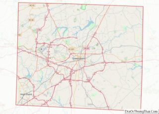
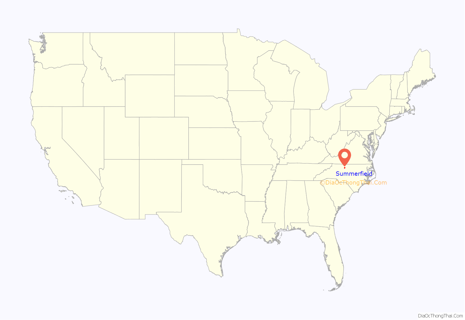
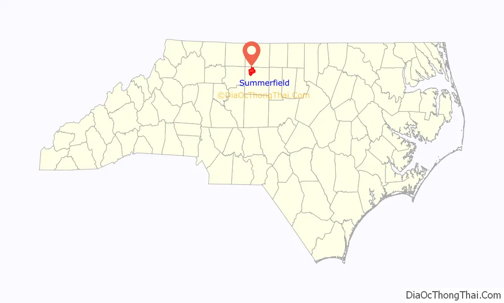
Summerfield location map. Where is Summerfield town?
History
The area was settled in about 1769 by Charles Bruce and acquired the name Bruce’s Crossroads. In February 1781 patriot forces under General Henry Lee III and British forces under General Banastre Tarleton skirmished at the crossroads during the American Revolutionary War. In 1812 a post office was established, and the community was renamed Summerfield, in homage to evangelist John Summerfield.
Summerfield School Gymnasium and Community Center has a gym that was listed on the National Register of Historic Places in 2012. The Summerfield Historic District was listed in 2005.
Former North Carolina Governor Alexander Martin had a house that he lived in the town square of Summerfield, which is not standing today. George Washington stayed in the house during the Revolutionary War. There is currently a historical home on the square known as the Martin House, but it was lived in by a son of the Governor. Currently, the Martin House is owned by the town of Summerfield.
Summerfield Road Map
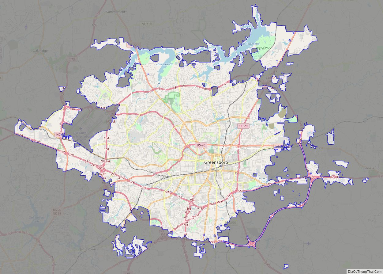
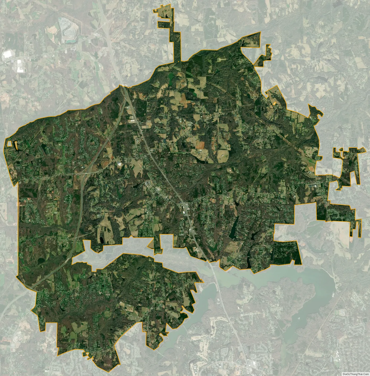
Summerfield city Satellite Map
Geography
According to the U.S. Census Bureau, the town has a total area of 27.3 square miles (70.7 km), of which 27.1 square miles (70.2 km) is land and 0.2 square miles (0.4 km) (0.62%) is water.
See also
Map of North Carolina State and its subdivision:- Alamance
- Alexander
- Alleghany
- Anson
- Ashe
- Avery
- Beaufort
- Bertie
- Bladen
- Brunswick
- Buncombe
- Burke
- Cabarrus
- Caldwell
- Camden
- Carteret
- Caswell
- Catawba
- Chatham
- Cherokee
- Chowan
- Clay
- Cleveland
- Columbus
- Craven
- Cumberland
- Currituck
- Dare
- Davidson
- Davie
- Duplin
- Durham
- Edgecombe
- Forsyth
- Franklin
- Gaston
- Gates
- Graham
- Granville
- Greene
- Guilford
- Halifax
- Harnett
- Haywood
- Henderson
- Hertford
- Hoke
- Hyde
- Iredell
- Jackson
- Johnston
- Jones
- Lee
- Lenoir
- Lincoln
- Macon
- Madison
- Martin
- McDowell
- Mecklenburg
- Mitchell
- Montgomery
- Moore
- Nash
- New Hanover
- Northampton
- Onslow
- Orange
- Pamlico
- Pasquotank
- Pender
- Perquimans
- Person
- Pitt
- Polk
- Randolph
- Richmond
- Robeson
- Rockingham
- Rowan
- Rutherford
- Sampson
- Scotland
- Stanly
- Stokes
- Surry
- Swain
- Transylvania
- Tyrrell
- Union
- Vance
- Wake
- Warren
- Washington
- Watauga
- Wayne
- Wilkes
- Wilson
- Yadkin
- Yancey
- Alabama
- Alaska
- Arizona
- Arkansas
- California
- Colorado
- Connecticut
- Delaware
- District of Columbia
- Florida
- Georgia
- Hawaii
- Idaho
- Illinois
- Indiana
- Iowa
- Kansas
- Kentucky
- Louisiana
- Maine
- Maryland
- Massachusetts
- Michigan
- Minnesota
- Mississippi
- Missouri
- Montana
- Nebraska
- Nevada
- New Hampshire
- New Jersey
- New Mexico
- New York
- North Carolina
- North Dakota
- Ohio
- Oklahoma
- Oregon
- Pennsylvania
- Rhode Island
- South Carolina
- South Dakota
- Tennessee
- Texas
- Utah
- Vermont
- Virginia
- Washington
- West Virginia
- Wisconsin
- Wyoming