Wade is a town in Cumberland County, North Carolina, United States. The population was 556 at the 2010 census.
| Name: | Wade town |
|---|---|
| LSAD Code: | 43 |
| LSAD Description: | town (suffix) |
| State: | North Carolina |
| County: | Cumberland County |
| Elevation: | 138 ft (42 m) |
| Total Area: | 1.75 sq mi (4.54 km²) |
| Land Area: | 1.74 sq mi (4.51 km²) |
| Water Area: | 0.01 sq mi (0.02 km²) |
| Total Population: | 638 |
| Population Density: | 366.46/sq mi (141.46/km²) |
| ZIP code: | 28395 |
| FIPS code: | 3770340 |
| GNISfeature ID: | 0996656 |
| Website: | wadenc.com |
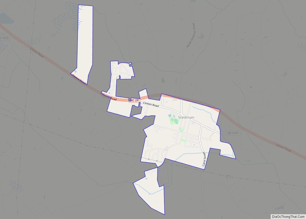
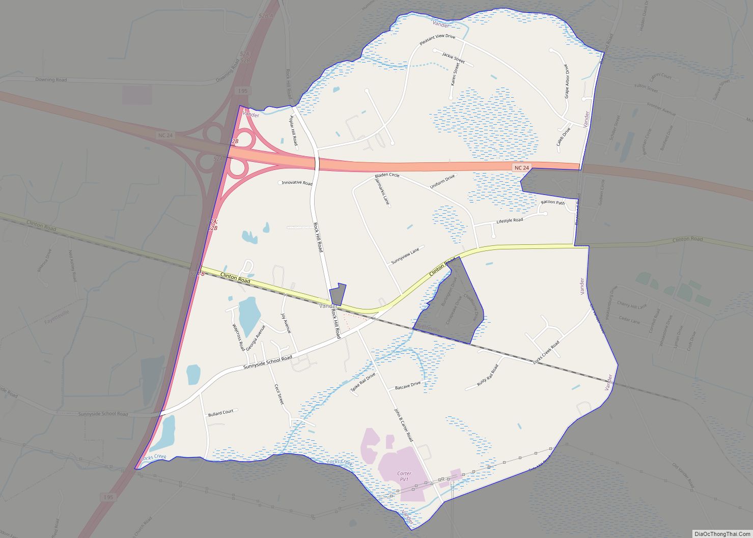
Online Interactive Map
Click on ![]() to view map in "full screen" mode.
to view map in "full screen" mode.
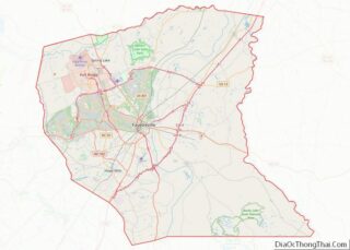
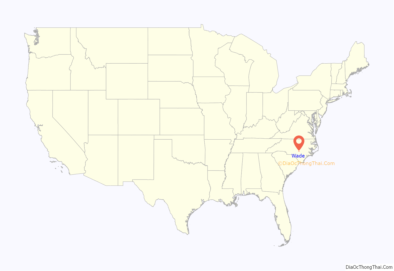
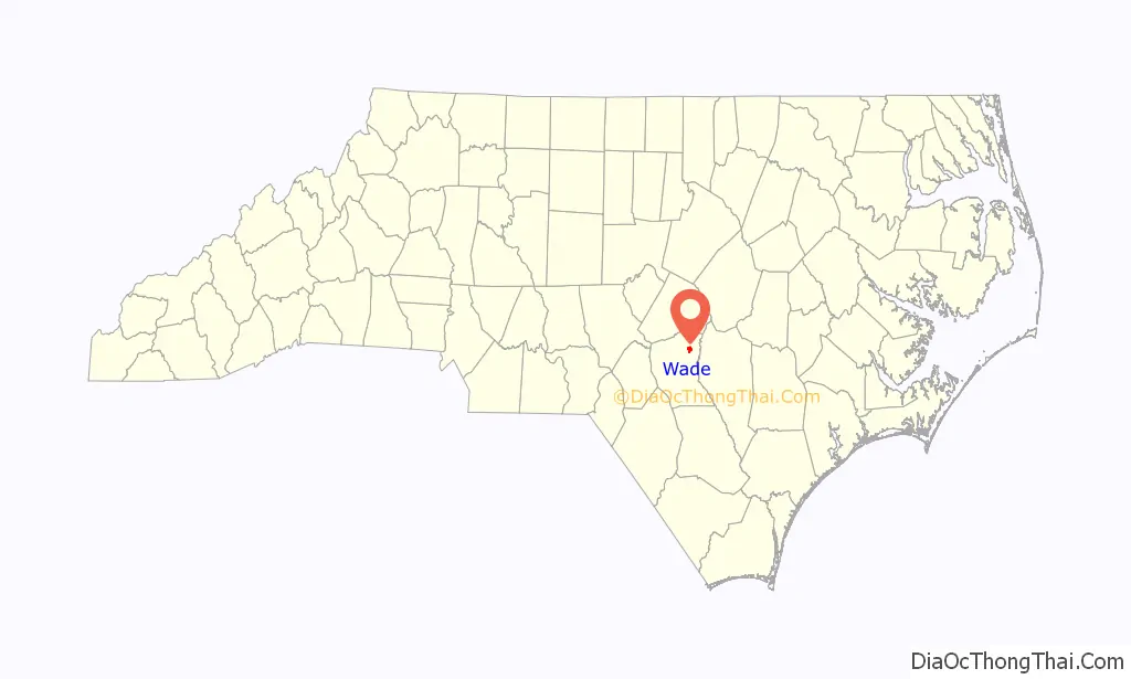
Wade location map. Where is Wade town?
History
The Old Bluff Presbyterian Church was listed on the National Register of Historic Places in 1974.
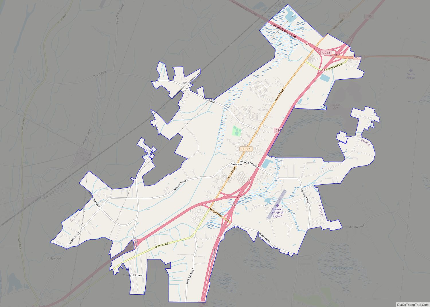
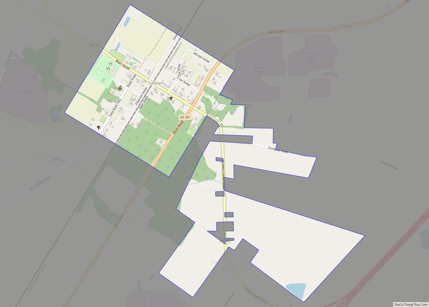
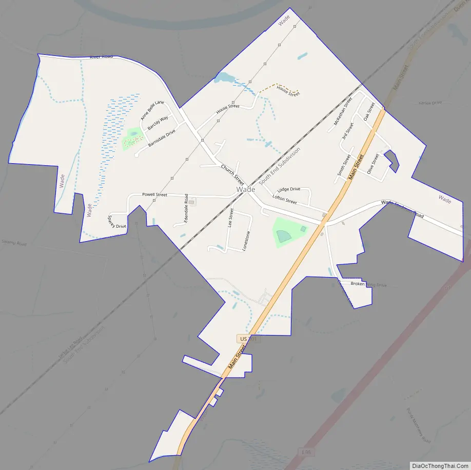
Wade Road Map
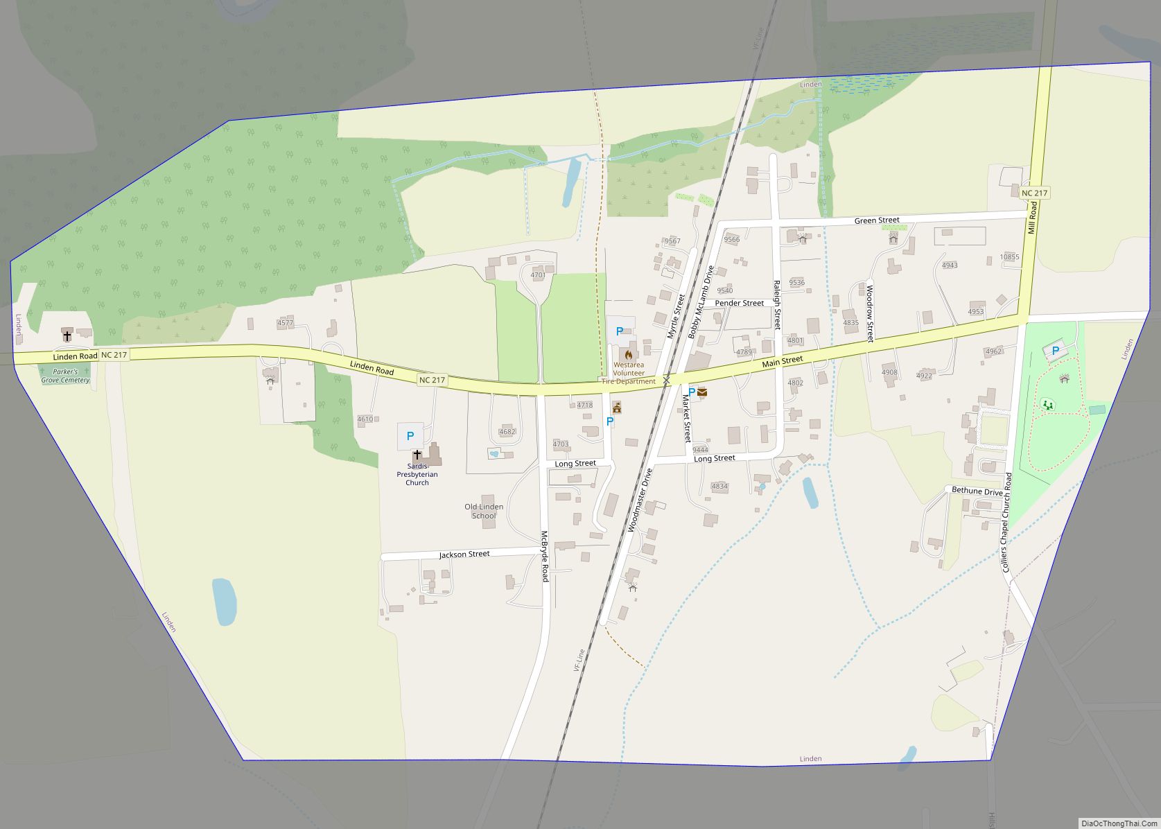
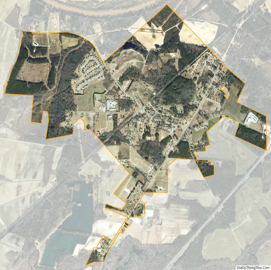
Wade city Satellite Map
Geography
Wade is located in northeastern Cumberland County at 35°9′42″N 78°43′59″W / 35.16167°N 78.73306°W / 35.16167; -78.73306 (35.161774, -78.732977). U.S. Route 301 passes through the town, leading southwest 12 miles (19 km) to Fayetteville, the county seat, and northeast 12 miles (19 km) to Dunn. Interstate 95 passes to the southeast of the town, with access from Exit 61.
According to the United States Census Bureau, the town has a total area of 1.8 square miles (4.7 km), of which 0.01 square miles (0.02 km), or 0.54%, is water. The Cape Fear River runs just north of the town limits.
See also
Map of North Carolina State and its subdivision:- Alamance
- Alexander
- Alleghany
- Anson
- Ashe
- Avery
- Beaufort
- Bertie
- Bladen
- Brunswick
- Buncombe
- Burke
- Cabarrus
- Caldwell
- Camden
- Carteret
- Caswell
- Catawba
- Chatham
- Cherokee
- Chowan
- Clay
- Cleveland
- Columbus
- Craven
- Cumberland
- Currituck
- Dare
- Davidson
- Davie
- Duplin
- Durham
- Edgecombe
- Forsyth
- Franklin
- Gaston
- Gates
- Graham
- Granville
- Greene
- Guilford
- Halifax
- Harnett
- Haywood
- Henderson
- Hertford
- Hoke
- Hyde
- Iredell
- Jackson
- Johnston
- Jones
- Lee
- Lenoir
- Lincoln
- Macon
- Madison
- Martin
- McDowell
- Mecklenburg
- Mitchell
- Montgomery
- Moore
- Nash
- New Hanover
- Northampton
- Onslow
- Orange
- Pamlico
- Pasquotank
- Pender
- Perquimans
- Person
- Pitt
- Polk
- Randolph
- Richmond
- Robeson
- Rockingham
- Rowan
- Rutherford
- Sampson
- Scotland
- Stanly
- Stokes
- Surry
- Swain
- Transylvania
- Tyrrell
- Union
- Vance
- Wake
- Warren
- Washington
- Watauga
- Wayne
- Wilkes
- Wilson
- Yadkin
- Yancey
- Alabama
- Alaska
- Arizona
- Arkansas
- California
- Colorado
- Connecticut
- Delaware
- District of Columbia
- Florida
- Georgia
- Hawaii
- Idaho
- Illinois
- Indiana
- Iowa
- Kansas
- Kentucky
- Louisiana
- Maine
- Maryland
- Massachusetts
- Michigan
- Minnesota
- Mississippi
- Missouri
- Montana
- Nebraska
- Nevada
- New Hampshire
- New Jersey
- New Mexico
- New York
- North Carolina
- North Dakota
- Ohio
- Oklahoma
- Oregon
- Pennsylvania
- Rhode Island
- South Carolina
- South Dakota
- Tennessee
- Texas
- Utah
- Vermont
- Virginia
- Washington
- West Virginia
- Wisconsin
- Wyoming