Whitsett is a town in Guilford County, North Carolina, United States. The population was 590 at the 2010 census.
| Name: | Whitsett town |
|---|---|
| LSAD Code: | 43 |
| LSAD Description: | town (suffix) |
| State: | North Carolina |
| County: | Guilford County |
| Elevation: | 686 ft (209 m) |
| Total Area: | 2.61 sq mi (6.76 km²) |
| Land Area: | 2.58 sq mi (6.69 km²) |
| Water Area: | 0.03 sq mi (0.07 km²) |
| Total Population: | 584 |
| Population Density: | 226.09/sq mi (87.30/km²) |
| ZIP code: | 27377 |
| Area code: | 336 |
| FIPS code: | 3773760 |
| GNISfeature ID: | 1027480 |
| Website: | www.whitsettnc.com |
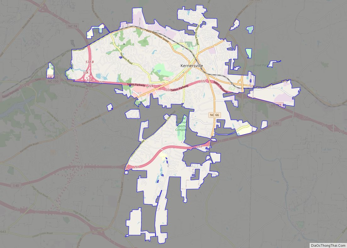
Online Interactive Map
Click on ![]() to view map in "full screen" mode.
to view map in "full screen" mode.
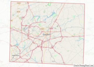
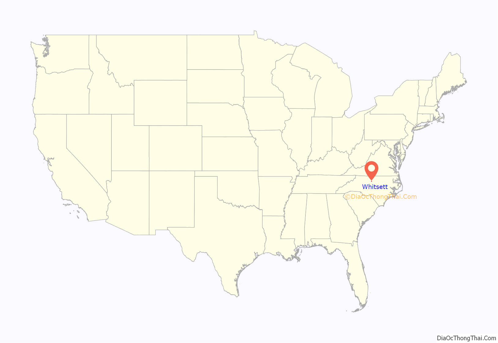
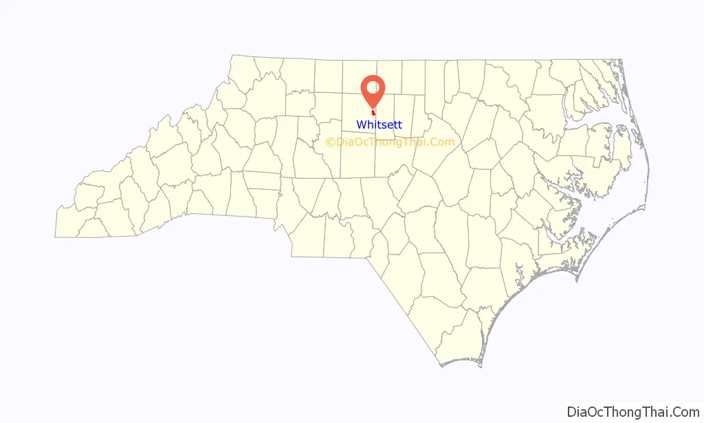
Whitsett location map. Where is Whitsett town?
History
The Daniel P. Foust House, Foust-Carpenter and Dean Dick Farms, Holly Gate, Low House, William Rankin and Elizabeth Wharton Smith House, Wadsworth Congregational Church, and Whitsett Historic District are listed on the National Register of Historic Places.
In 2012, Lenovo announced it would open a manufacturing plant in Whitsett.
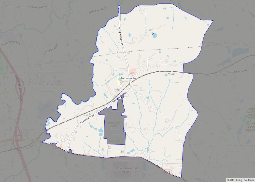
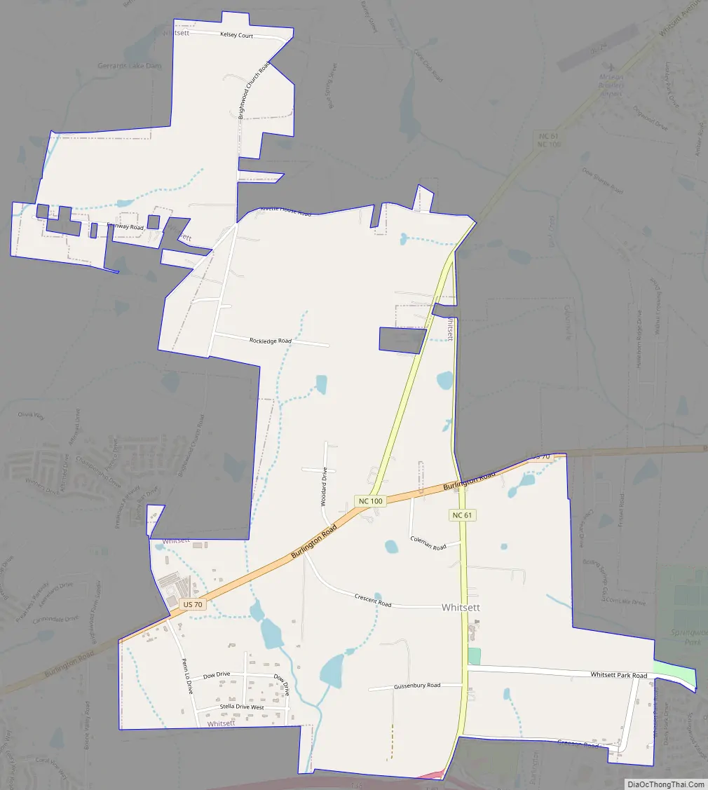
Whitsett Road Map
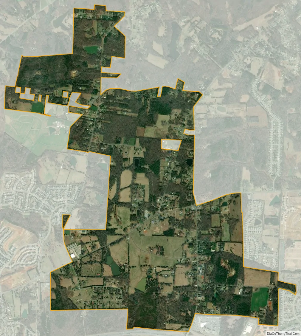
Whitsett city Satellite Map
Geography
Whitsett is located at 36°4′47″N 79°34′0″W / 36.07972°N 79.56667°W / 36.07972; -79.56667 (36.0796745, -79.5667605).
According to the United States Census Bureau, the town has a total area of 2.8 square miles (7.3 km), all land.
See also
Map of North Carolina State and its subdivision:- Alamance
- Alexander
- Alleghany
- Anson
- Ashe
- Avery
- Beaufort
- Bertie
- Bladen
- Brunswick
- Buncombe
- Burke
- Cabarrus
- Caldwell
- Camden
- Carteret
- Caswell
- Catawba
- Chatham
- Cherokee
- Chowan
- Clay
- Cleveland
- Columbus
- Craven
- Cumberland
- Currituck
- Dare
- Davidson
- Davie
- Duplin
- Durham
- Edgecombe
- Forsyth
- Franklin
- Gaston
- Gates
- Graham
- Granville
- Greene
- Guilford
- Halifax
- Harnett
- Haywood
- Henderson
- Hertford
- Hoke
- Hyde
- Iredell
- Jackson
- Johnston
- Jones
- Lee
- Lenoir
- Lincoln
- Macon
- Madison
- Martin
- McDowell
- Mecklenburg
- Mitchell
- Montgomery
- Moore
- Nash
- New Hanover
- Northampton
- Onslow
- Orange
- Pamlico
- Pasquotank
- Pender
- Perquimans
- Person
- Pitt
- Polk
- Randolph
- Richmond
- Robeson
- Rockingham
- Rowan
- Rutherford
- Sampson
- Scotland
- Stanly
- Stokes
- Surry
- Swain
- Transylvania
- Tyrrell
- Union
- Vance
- Wake
- Warren
- Washington
- Watauga
- Wayne
- Wilkes
- Wilson
- Yadkin
- Yancey
- Alabama
- Alaska
- Arizona
- Arkansas
- California
- Colorado
- Connecticut
- Delaware
- District of Columbia
- Florida
- Georgia
- Hawaii
- Idaho
- Illinois
- Indiana
- Iowa
- Kansas
- Kentucky
- Louisiana
- Maine
- Maryland
- Massachusetts
- Michigan
- Minnesota
- Mississippi
- Missouri
- Montana
- Nebraska
- Nevada
- New Hampshire
- New Jersey
- New Mexico
- New York
- North Carolina
- North Dakota
- Ohio
- Oklahoma
- Oregon
- Pennsylvania
- Rhode Island
- South Carolina
- South Dakota
- Tennessee
- Texas
- Utah
- Vermont
- Virginia
- Washington
- West Virginia
- Wisconsin
- Wyoming