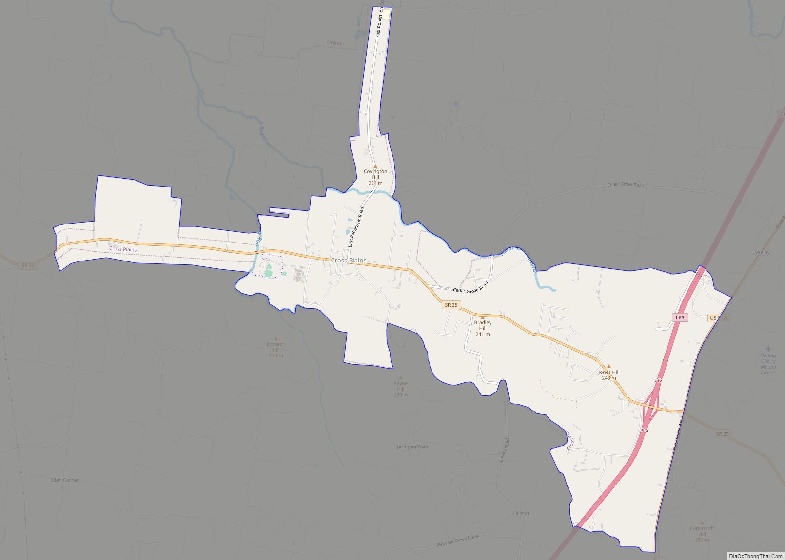
Cross Plains is a city in Robertson County, Tennessee. The city’s population was 1,789 at the 2020 census. Cross Plains was the first area of Robertson County that was settled by European settlers, with the arrival of Thomas Kilgore in 1778.
| Name: | Cross Plains city |
|---|---|
| LSAD Code: | 25 |
| LSAD Description: | city (suffix) |
| State: | Tennessee |
| County: | Robertson County |
| Elevation: | 745 ft (227 m) |
| Total Area: | 8.69 sq mi (22.51 km²) |
| Land Area: | 8.69 sq mi (22.51 km²) |
| Water Area: | 0.00 sq mi (0.00 km²) |
| Total Population: | 1,789 |
| Population Density: | 205.89/sq mi (79.49/km²) |
| ZIP code: | 37049 |
| Area code: | 615 |
| FIPS code: | 4718420 |
| GNISfeature ID: | 1306195 |
Online Interactive Map
Click on ![]() to view map in "full screen" mode.
to view map in "full screen" mode.
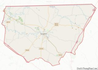
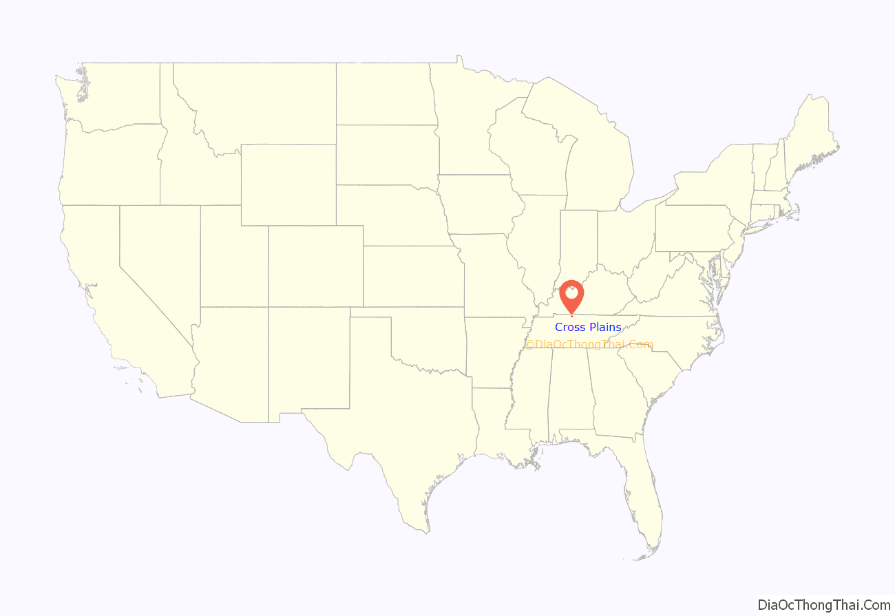
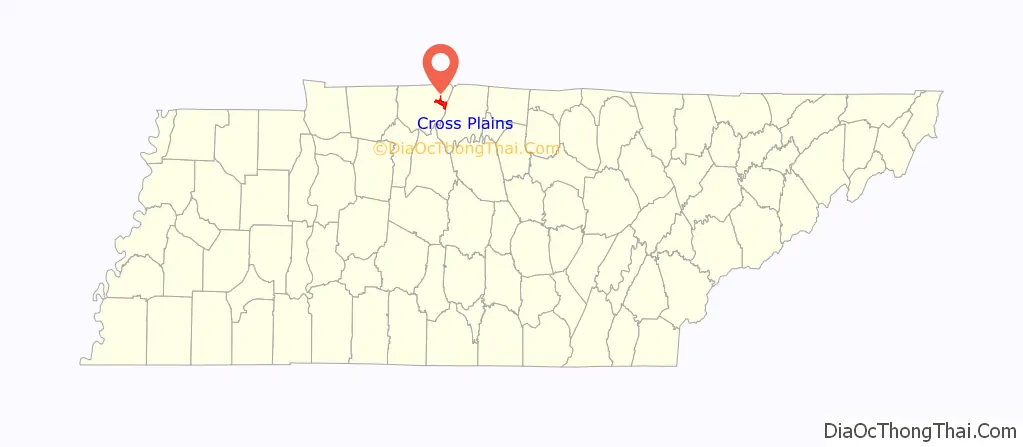
Cross Plains location map. Where is Cross Plains city?
History
In 1778, American Revolutionary War veteran Thomas Kilgore arrived at the Middle Fork of Red River, three-fourths of a mile west of Cross Plains, making him the first European settler to arrive in Robertson County. Kilgore traveled to this area to claim 640 acres of land, which was guaranteed to settlers who traveled west by the Legislature of North Carolina. Kilgore returned to eastern North Carolina in the fall of 1778, and after the title of his land was confirmed, he traveled back to his settlement with a few other families, and built a stockade which would be known as Kilgore Station. The first building was a double log house erected by William Randolph in 1819. It was also used as a tavern.
In 1873, J.M. Walton established Neophogen College, a private university which operated until 1877. Thomas Drugs opened in 1915; it is one of the oldest establishments in Cross Plains.
In 2004, construction began on “Kilgore Park” located beside East Robertson High School. Construction was completed in 2008. In 2020, the Cross Plains city government announced that they had purchased 148 acres of land on Highway 25 west of Kilgore Park for $1.08 million. City officials stated that the land was purchased for future uses such as an expansion of Kilgore Park, or new schools.
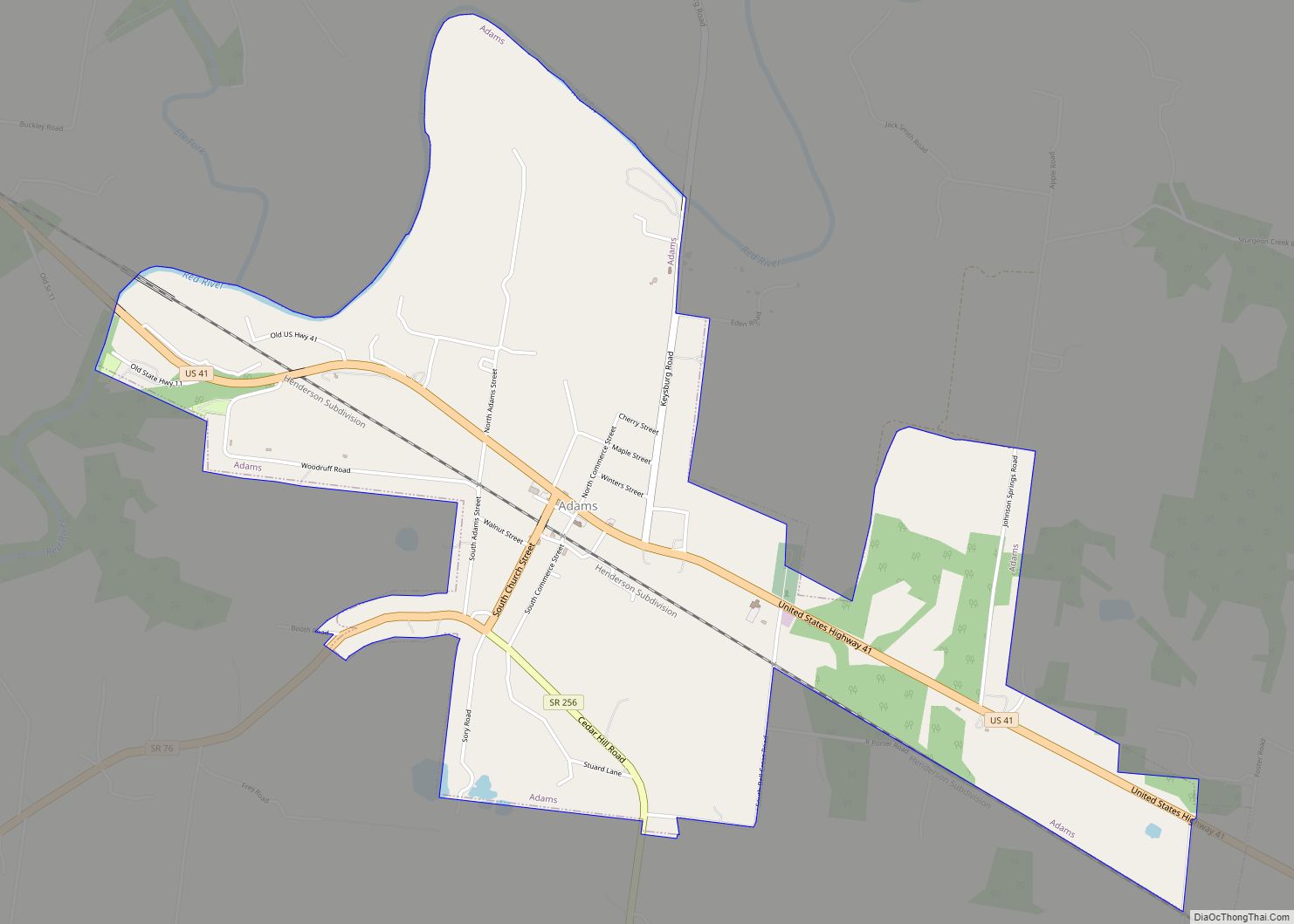
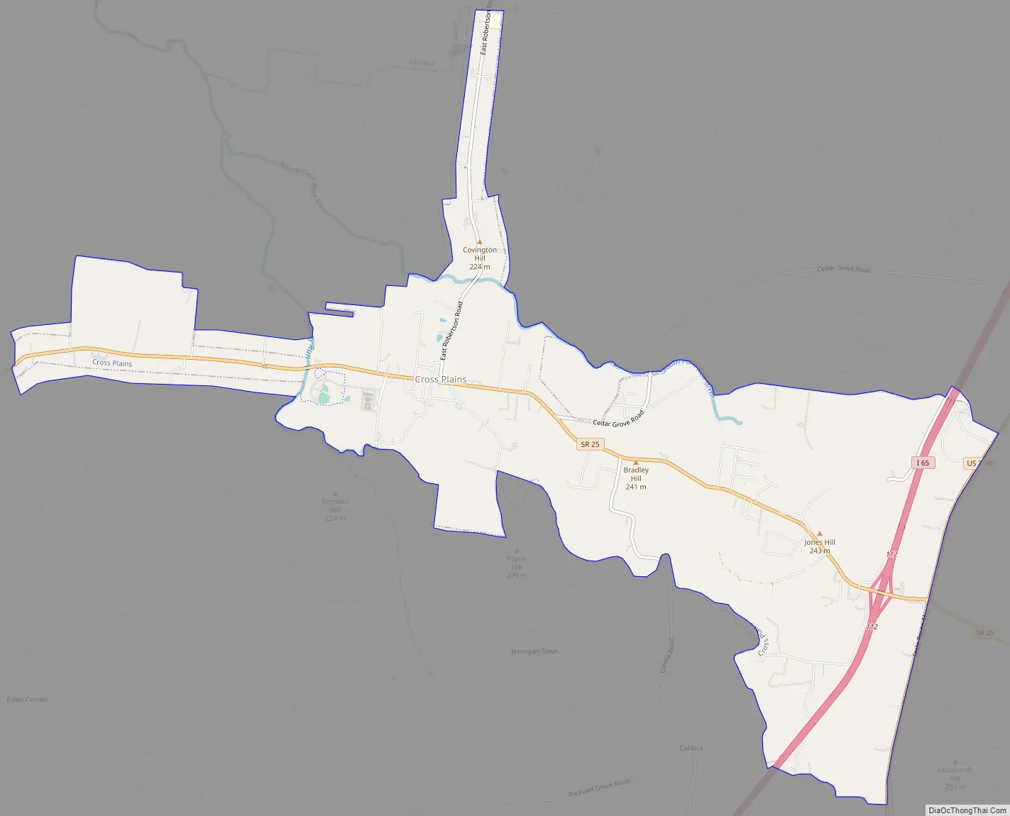
Cross Plains Road Map
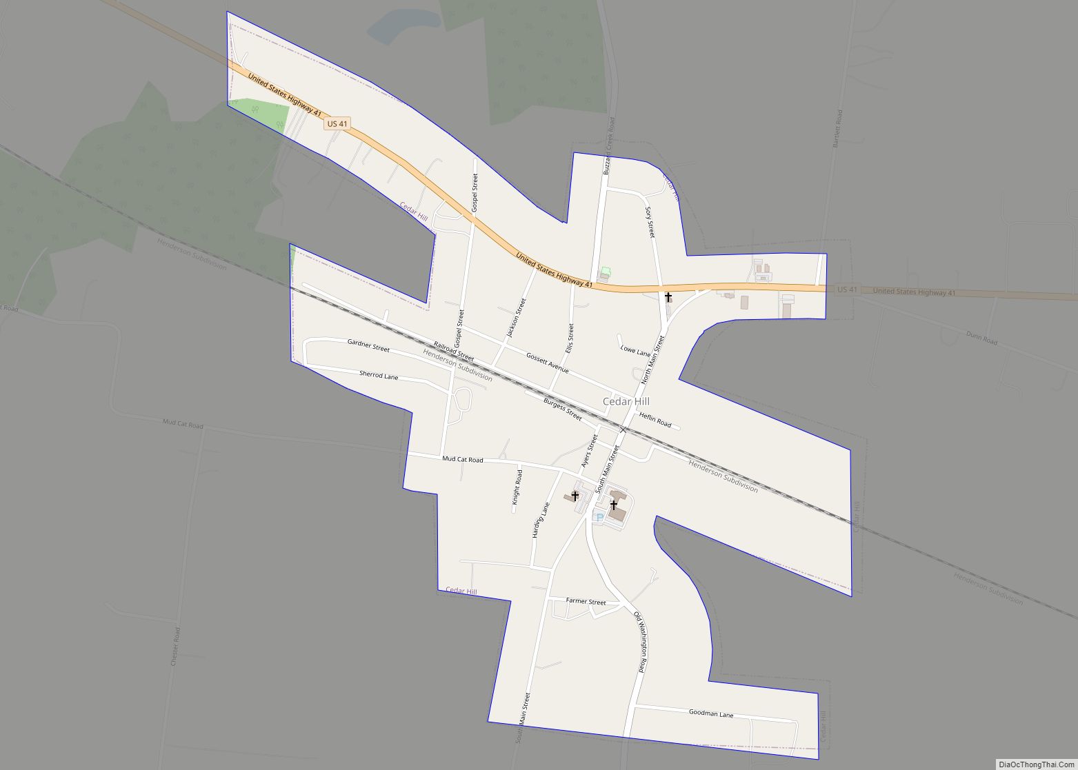
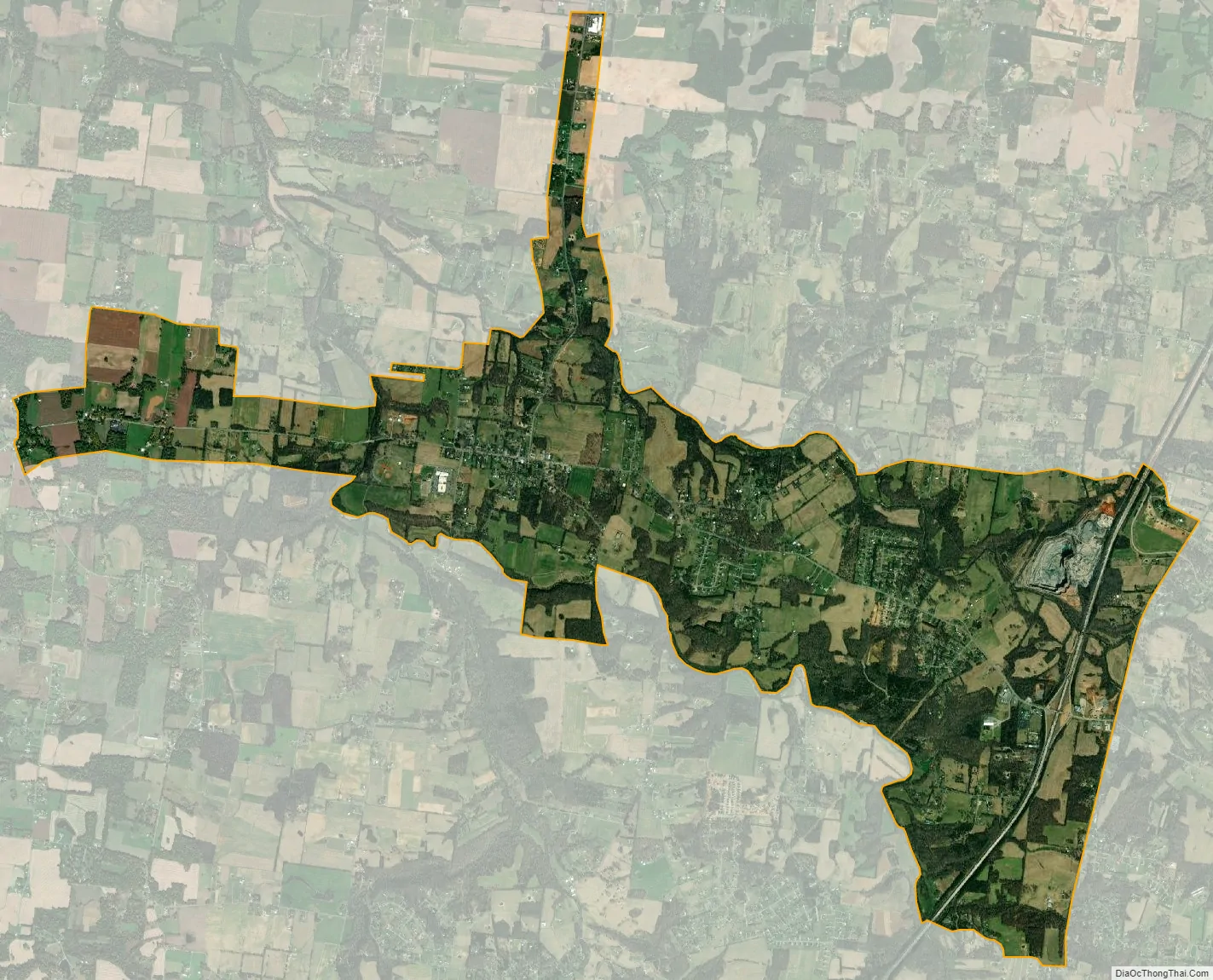
Cross Plains city Satellite Map
Geography
According to the United States Census Bureau, the city has a total area of 8.3 square miles (21 km), all land.
Transportation
- Interstate 65
- / U.S. Route 31W / Tennessee State Route 41
- Tennessee State Route 25
Decommissioned highways
- Tennessee State Route 79
The major east-west route, State Route 25 (SR 25), is a thoroughfare between Springfield and Gallatin. Interstate 65 (I-65) is a major north-south route between Louisville, Kentucky and Nashville. It intersects SR 25 on exit 112. US 31W, the predecessor to I-65, runs east of the latter route parallel to it. It provides an alternate route for local drivers to White House and Portland.
In the late 19th century, two major stagecoach routes ran through Cross Plains. The Louisville and Nashville Turnpike ran on the eastern end of town on the border of Robertson and Sumner County and the Hopkinsville and Gallatin Road ran through downtown and east toward Gallatin. The first state route to run through the modern Cross Plains area was State Route 79 in the 1920s, it ran on the old Louisville and Nashville Turnpike. State Route 79 was replaced by U.S. Route 31W in November 1926. The second and last state route to be routed through Cross Plains was State Route 25 which was extended west of Gallatin to Cross Plains by 1939. It replaced the Hopkinsville and Gallatin Road. Around 1953, the original curvy routing of US 31W was replaced by a straighter and more direct route. This rerouting abandoned a stone bridge that has been used since at least 1841. Segments of the old road still see use today as simply “Old Highway 31W”. Construction on I-65 near Cross Plains began around 1970. By December 1972, the section south of Cross Plains was complete. Beginning in 2021, the section of Interstate 65 became subject to widening to alleviate traffic strains.
See also
Map of Tennessee State and its subdivision:- Anderson
- Bedford
- Benton
- Bledsoe
- Blount
- Bradley
- Campbell
- Cannon
- Carroll
- Carter
- Cheatham
- Chester
- Claiborne
- Clay
- Cocke
- Coffee
- Crockett
- Cumberland
- Davidson
- Decatur
- DeKalb
- Dickson
- Dyer
- Fayette
- Fentress
- Franklin
- Gibson
- Giles
- Grainger
- Greene
- Grundy
- Hamblen
- Hamilton
- Hancock
- Hardeman
- Hardin
- Hawkins
- Haywood
- Henderson
- Henry
- Hickman
- Houston
- Humphreys
- Jackson
- Jefferson
- Johnson
- Knox
- Lake
- Lauderdale
- Lawrence
- Lewis
- Lincoln
- Loudon
- Macon
- Madison
- Marion
- Marshall
- Maury
- McMinn
- McNairy
- Meigs
- Monroe
- Montgomery
- Moore
- Morgan
- Obion
- Overton
- Perry
- Pickett
- Polk
- Putnam
- Rhea
- Roane
- Robertson
- Rutherford
- Scott
- Sequatchie
- Sevier
- Shelby
- Smith
- Stewart
- Sullivan
- Sumner
- Tipton
- Trousdale
- Unicoi
- Union
- Van Buren
- Warren
- Washington
- Wayne
- Weakley
- White
- Williamson
- Wilson
- Alabama
- Alaska
- Arizona
- Arkansas
- California
- Colorado
- Connecticut
- Delaware
- District of Columbia
- Florida
- Georgia
- Hawaii
- Idaho
- Illinois
- Indiana
- Iowa
- Kansas
- Kentucky
- Louisiana
- Maine
- Maryland
- Massachusetts
- Michigan
- Minnesota
- Mississippi
- Missouri
- Montana
- Nebraska
- Nevada
- New Hampshire
- New Jersey
- New Mexico
- New York
- North Carolina
- North Dakota
- Ohio
- Oklahoma
- Oregon
- Pennsylvania
- Rhode Island
- South Carolina
- South Dakota
- Tennessee
- Texas
- Utah
- Vermont
- Virginia
- Washington
- West Virginia
- Wisconsin
- Wyoming