Haymarket is a town in Prince William County, Virginia, United States. The population was 1,552 as of the 2020 census.
| Name: | Haymarket town |
|---|---|
| LSAD Code: | 43 |
| LSAD Description: | town (suffix) |
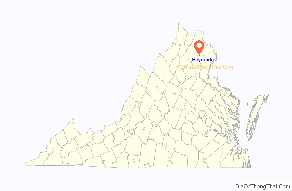
| State: | Virginia |
| County: | Prince William County |
| Elevation: | 367 ft (112 m) |
| Total Area: | 0.57 sq mi (1.49 km²) |
| Land Area: | 0.57 sq mi (1.49 km²) |
| Water Area: | 0.00 sq mi (0.00 km²) |
| Total Population: | 1,782 |
| Population Density: | 2,919.86/sq mi (1,126.79/km²) |
| ZIP code: | 20168-20169 |
| Area code: | 571, 703 |
| FIPS code: | 5135976 |
| GNISfeature ID: | 1499541 |
| Website: | townofhaymarket.org |
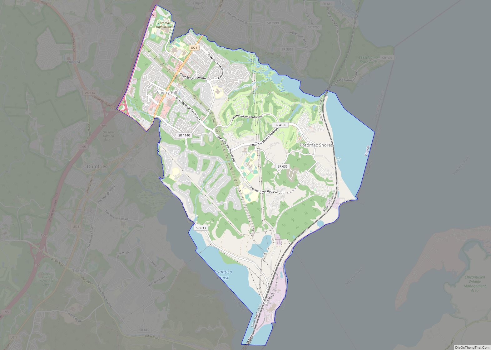
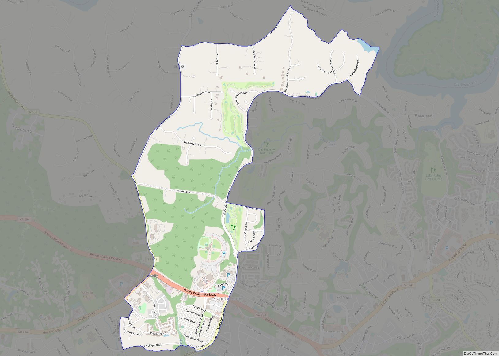
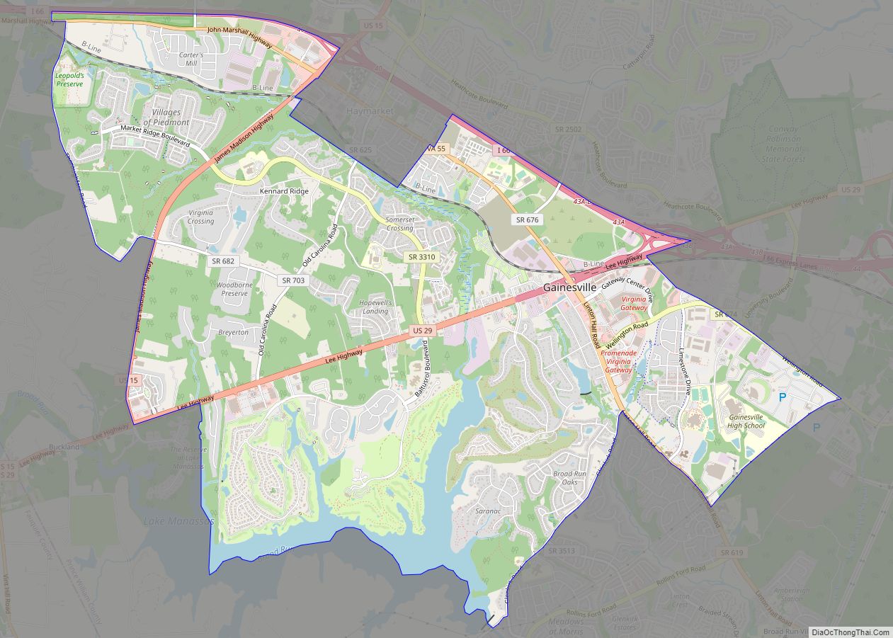
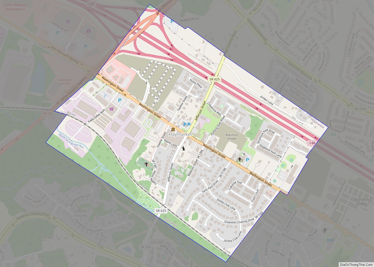
Online Interactive Map
Click on ![]() to view map in "full screen" mode.
to view map in "full screen" mode.
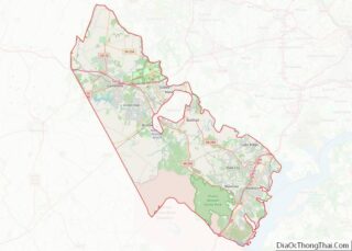
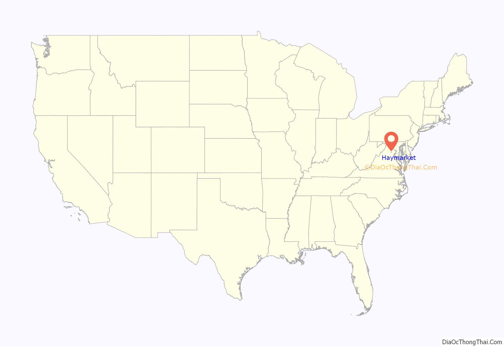
Haymarket location map. Where is Haymarket town?
History
Haymarket is built on land that used to be hunting grounds of the western Iroquois nations, who came from the New York and Pennsylvania area around the Great Lakes. They used hunting paths through the land until 1722, when they made a treaty with the colonies of Virginia and New York to move into the Blue Ridge Mountain region.
Due to the hunting paths, this location, and later the town, were given the nickname The Crossroads. The town of Haymarket began to be developed and built after the American Revolutionary War, formally founded in 1799 on the land of William Skinker. The Virginia General Assembly gave Skinker the rights to lay out the town, which he drew to consist of 13 streets and 140 lots. Shortly after, a clerk’s office and jail were constructed in 1801, as the town had been selected as the site of what is now a district court. The town owed its early development to business and trade associated with the regular court sessions.
In 1807, the Virginia General Assembly abolished the district court in favor of the circuit court system, which established a court at each county seat. Until 1830 the court house remained the focal point of the town, while serving multiple purposes. In 1830, the court house was converted into and deeded as an Episcopal church; in 1833 it was consecrated as St Paul’s.
During the Civil War, on November 4, 1862, Union troops invaded Haymarket and set the entire town on fire. Only four buildings survived: three small houses and St. Paul’s Church. For the remainder of the war, Haymarket remained mostly uninhabited. A skirmish took place on October 19, 1863, involving the Second Brigade, Second Division, and Fifth Army Corps. Another skirmish took place on June 1863. They both involved Union encounters with the Confederate cavalry. Following General Robert E. Lee’s surrender, Haymarket began to recover. Slowly it regained its former prosperity and size.
Post-Reconstruction Era to Present
Haymarket was incorporated in 1882, the second town in Prince William County to do so. The first mayor elected was Garrett Hulfish and the first councilmen elected were T.A. Smith, Charles Jordan, and William W. Meade. In May 1882 during the council’s second meeting, the rudimentary ordinances were drafted and adopted.
On March 19, 1892, Lee Heflin and Joseph Dye were lynched in Haymarket. They had been convicted of the murder of a girl and sentenced to death, but the mob thought the legal system moved too slowly. The men were hanged from trees at the edge of woods; then the mob shot into their bodies. The Washington Post said, “mob law…is a dangerous thing to encourage. There is too much of it already throughout the country, and it spreads like a contagion so long as public sentiment tacitly approves it.” It was unusual that white men were lynched; in Virginia and the rest of the South, usually black men were victims of lynching.
From 1882 to the present day, most of the buildings in central Haymarket have remained unchanged. The town borders U.S Route 15. Growth has occurred outside the town. While no schools are located within the town, the larger area has five schools – all part of the Prince William County School System. In the 1970s during the construction of the Interstate System, Haymarket was served by Exit 40 of Interstate 66. Being connected to the interstate, during a period of growth in the Northern Virginia region, has produced a population boom in the area of suburban development.
In 1994 The Walt Disney Company bought extensive amounts of land in Haymarket for a proposed Disney’s America theme park. Local resistance to the resort, because of perceived adverse effects on the Manassas Battlefield, resulted in the defeat of the park.
William B. Snyder, a local businessman, convinced Disney to sell the property to him. Snyder, in turn, sold off most of the land to developers, except for the 405 acres (1.64 km) donated to the National Capital Area Council of the Boy Scouts of America. It used this land to develop Camp Snyder.
In addition to St. Paul’s Church, Evergreen, Locust Bottom, Mt. Atlas, and Old Town Hall and School are listed on the National Register of Historic Places.
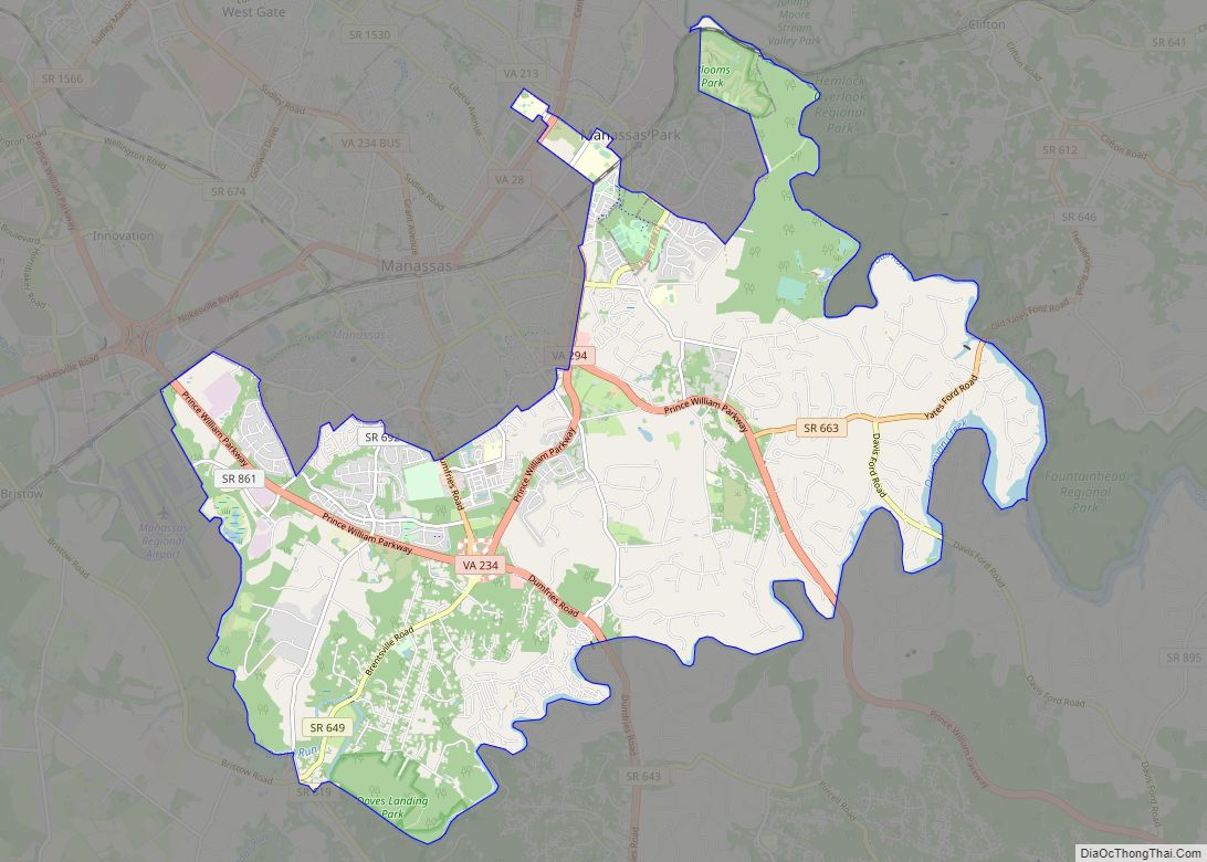
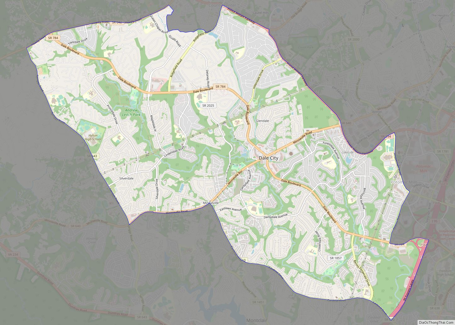
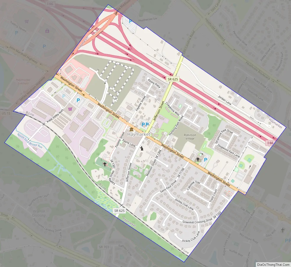
Haymarket Road Map
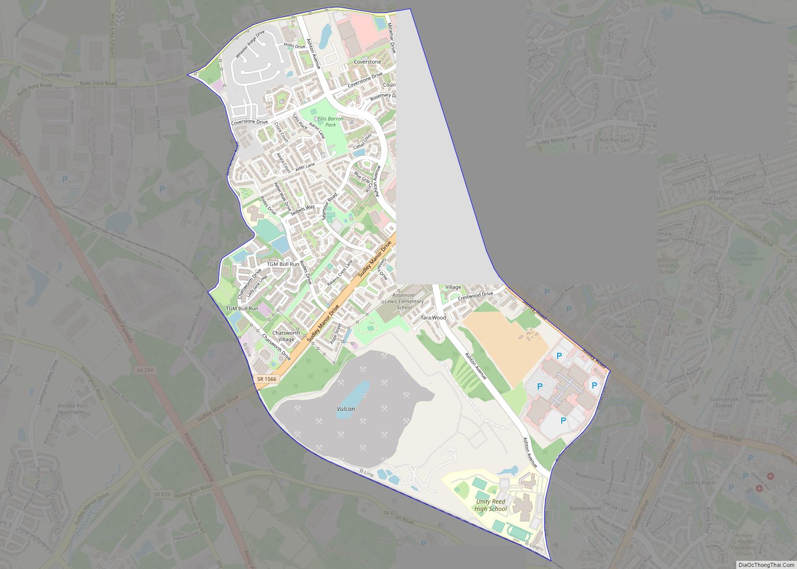
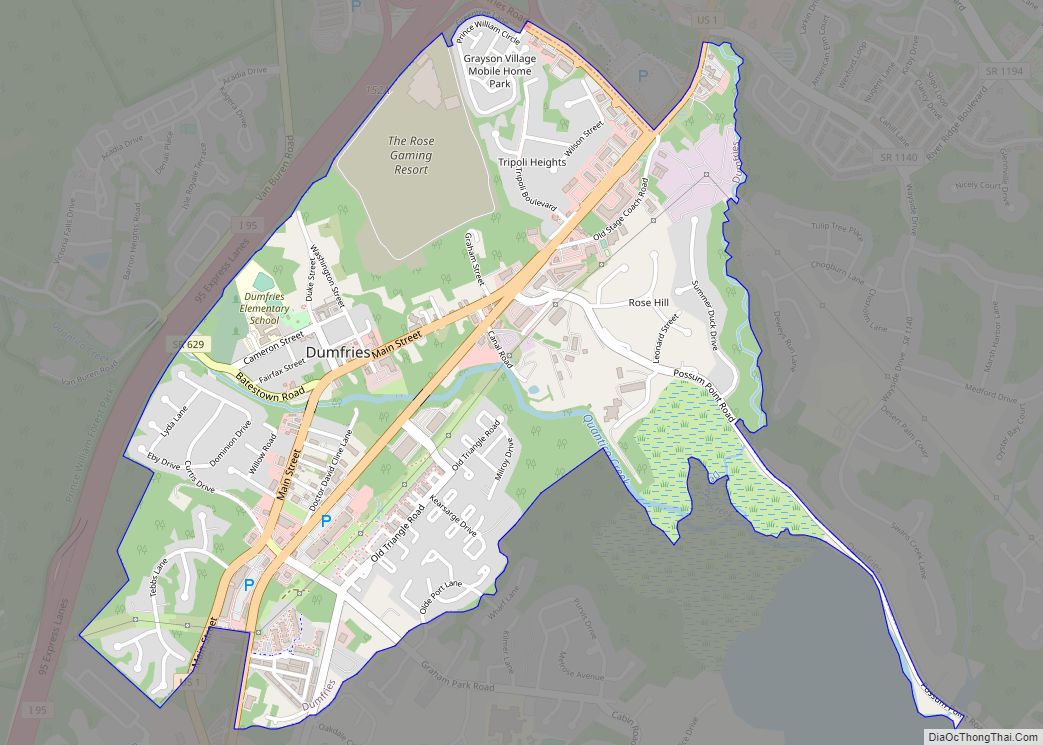
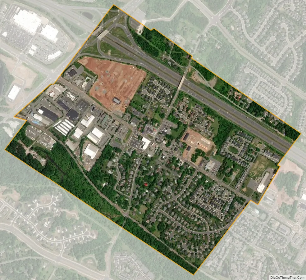
Haymarket city Satellite Map
Geography
Haymarket is located at 38°48′46″N 77°38′6″W / 38.81278°N 77.63500°W / 38.81278; -77.63500 (38.812670, −77.635084). Haymarket is located in the Piedmont region of Virginia, sitting at the base of Bull Run Mountains. Haymarket is located just outside of the region considered ‘NOVA”. Geographically, Haymarket serves as a marker to show the start of Virginia outside of the “NOVA” region.
According to the United States Census Bureau, the town has a total area of 0.5 square miles (1.3 km), all of it land.
The greater town of Haymarket (ZIP code 20169) has a total area of 32.2 square miles (83.4 km), with 0.2 square miles (0.5 km) of water.
See also
Map of Virginia State and its subdivision:- Accomack
- Albemarle
- Alexandria
- Alleghany
- Amelia
- Amherst
- Appomattox
- Arlington
- Augusta
- Bath
- Bedford
- Bedford City
- Bland
- Botetourt
- Bristol
- Brunswick
- Buchanan
- Buckingham
- Buena Vista
- Campbell
- Caroline
- Carroll
- Charles City
- Charlotte
- Charlottesville
- Chesapeake
- Chesterfield
- Clarke
- Clifton Forge City
- Colonial Heights
- Covington
- Craig
- Culpeper
- Cumberland
- Danville
- Dickenson
- Dinwiddie
- Emporia
- Essex
- Fairfax
- Fairfax City
- Falls Church
- Fauquier
- Floyd
- Fluvanna
- Franklin
- Frederick
- Fredericksburg
- Galax
- Giles
- Gloucester
- Goochland
- Grayson
- Greene
- Greensville
- Halifax
- Hampton
- Hanover
- Harrisonburg
- Henrico
- Henry
- Highland
- Hopewell
- Isle of Wight
- James City
- King and Queen
- King George
- King William
- Lancaster
- Lee
- Lexington
- Loudoun
- Louisa
- Lunenburg
- Lynchburg
- Madison
- Manassas
- Manassas Park
- Martinsville
- Mathews
- Mecklenburg
- Middlesex
- Montgomery
- Nelson
- New Kent
- Newport News
- Norfolk
- Northampton
- Northumberland
- Norton
- Nottoway
- Orange
- Page
- Patrick
- Petersburg
- Pittsylvania
- Poquoson
- Portsmouth
- Powhatan
- Prince Edward
- Prince George
- Prince William
- Pulaski
- Radford
- Rappahannock
- Richmond
- Roanoke
- Roanoke City
- Rockbridge
- Rockingham
- Russell
- Salem
- Scott
- Shenandoah
- Smyth
- Southampton
- Spotsylvania
- Stafford
- Staunton
- Suffolk
- Surry
- Sussex
- Tazewell
- Virginia Beach
- Warren
- Washington
- Waynesboro
- Westmoreland
- Williamsburg
- Winchester
- Wise
- Wythe
- York
- Alabama
- Alaska
- Arizona
- Arkansas
- California
- Colorado
- Connecticut
- Delaware
- District of Columbia
- Florida
- Georgia
- Hawaii
- Idaho
- Illinois
- Indiana
- Iowa
- Kansas
- Kentucky
- Louisiana
- Maine
- Maryland
- Massachusetts
- Michigan
- Minnesota
- Mississippi
- Missouri
- Montana
- Nebraska
- Nevada
- New Hampshire
- New Jersey
- New Mexico
- New York
- North Carolina
- North Dakota
- Ohio
- Oklahoma
- Oregon
- Pennsylvania
- Rhode Island
- South Carolina
- South Dakota
- Tennessee
- Texas
- Utah
- Vermont
- Virginia
- Washington
- West Virginia
- Wisconsin
- Wyoming