O’Fallon is a city in St. Clair County, Illinois, United States. The 2020 census listed the population at 32,289. The city is the second largest city in the Metro-East region and Southern Illinois. It sits 5 miles (8.0 km) from Scott Air Force Base and 18 miles (29 km) from Downtown St Louis.
Like its namesake in St. Charles County, Missouri, O’Fallon is part of the St. Louis Metropolitan Statistical Area. This makes O’Fallon (along with the two Troys in Illinois and Missouri) one of the few pairs of like-named municipalities to be part of the same MSA.
| Name: | O’Fallon city |
|---|---|
| LSAD Code: | 25 |
| LSAD Description: | city (suffix) |
| State: | Illinois |
| County: | St. Clair County |
| Elevation: | 541 ft (165 m) |
| Total Area: | 15.71 sq mi (40.67 km²) |
| Land Area: | 15.59 sq mi (40.39 km²) |
| Water Area: | 0.11 sq mi (0.29 km²) |
| Total Population: | 32,289 |
| Population Density: | 2,070.60/sq mi (799.48/km²) |
| Area code: | 618 |
| FIPS code: | 1755249 |
| GNISfeature ID: | 2395302 |
| Website: | ofallon.org |
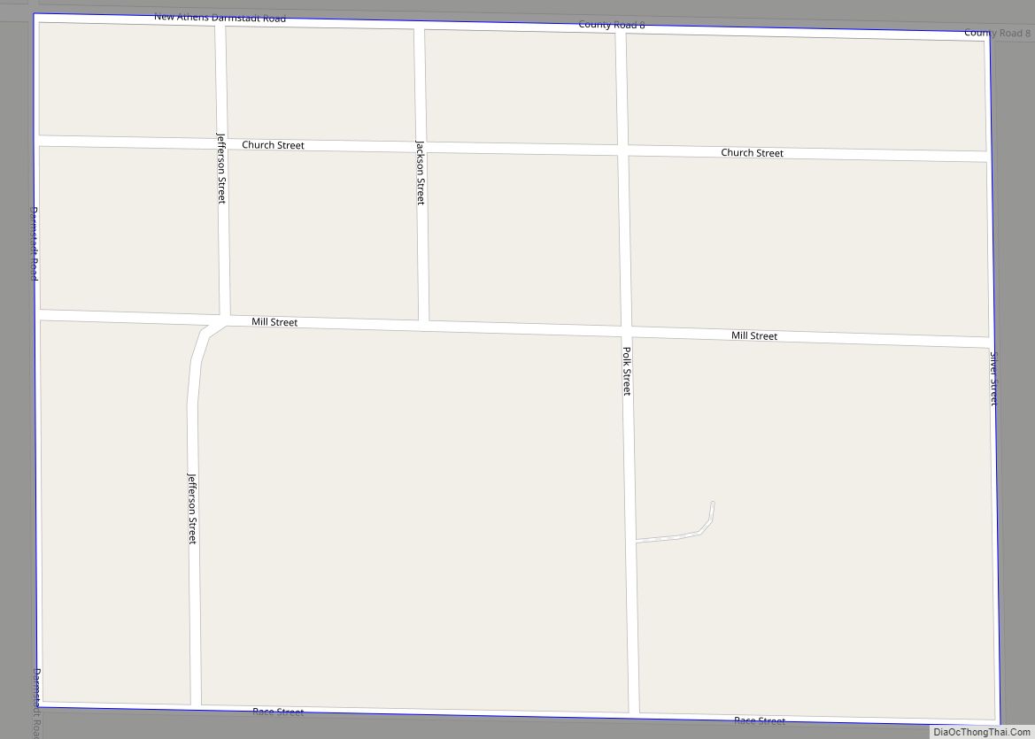
Online Interactive Map
Click on ![]() to view map in "full screen" mode.
to view map in "full screen" mode.
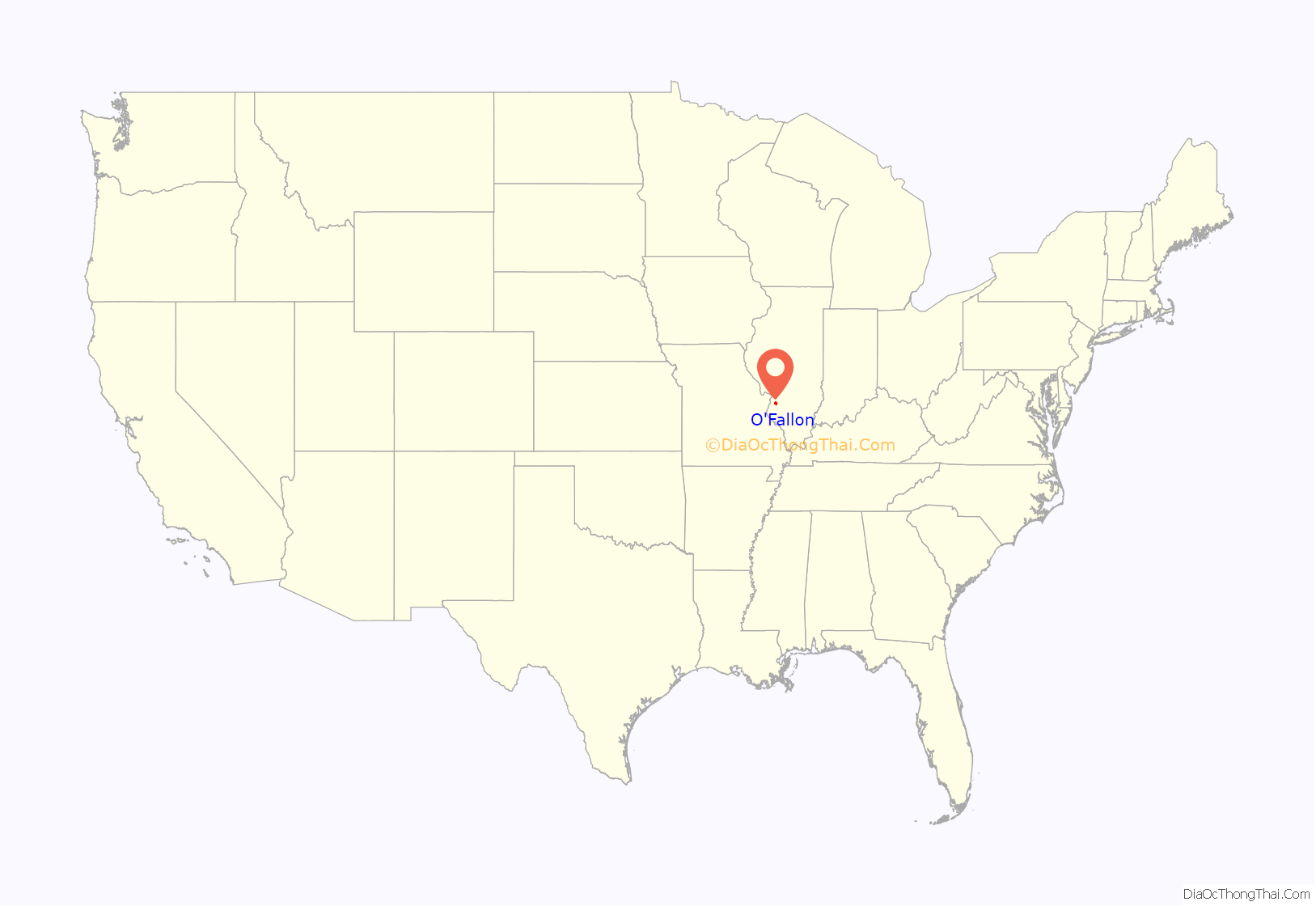
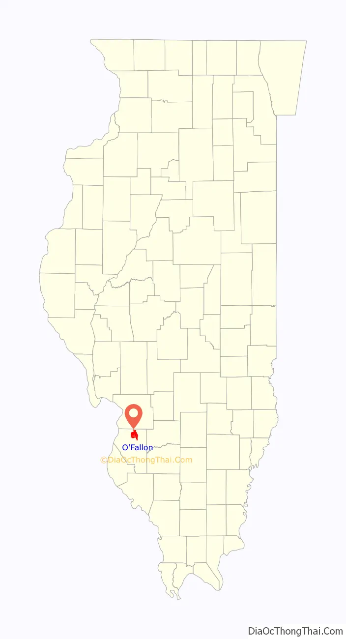
O’Fallon location map. Where is O’Fallon city?
History
Founded in 1854, O’Fallon’s namesake comes from Colonel John O’Fallon who was a wealthy gentleman from St. Louis. In downtown O’Fallon, a Baltimore and Ohio Railroad railroad depot was built, which helped put O’Fallon on the map. City lots were platted and sold at a public auction on May 18, 1854. A post office was established the following year and the city began attracting German settlers looking for fertile farming land. On January 27, 1874, O’Fallon was incorporated as a village. On March 14, 1905, the citizens voted for a change to the city form of government. Since its founding, O’Fallon has gained population every decennial census year except 1930, when the census showed a net loss of six residents.
The city center is approximately two miles east of the intersection of Interstate 64 and U.S. Route 50. Suburban growth in O’Fallon expanded considerably during the 1980s and following the expansion of Interstate 64 in the 1990s. Subdivisions include Thornbury Hill, Nolin Creek Estates, Fairwood Hills, Deer Creek, Forest Hills, and Fairwood East. O’Fallon Township High School’s main campus at 600 South Smiley Street has undergone numerous additions over the past decades to ease overcrowding, including the creation of the separate 9th Grade Milburn Campus.
O’Fallon’s city seal was designed in 1974 by Michael Donovan, an OTHS freshman, during a contest held by the O’Fallon Junior Woman’s Club to create a city flag. In May 1975, the design was finalized by Louis Bradshaw and was then adopted by the city as its official flag. According to the 2004 publication by the O’Fallon Historical Society, O’Fallon Sesquicentennial History:
Events
- Tornado outbreak of April 2, 2006
O’Fallon Road Map
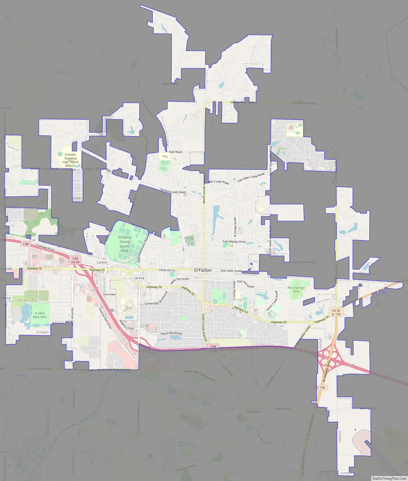
O’Fallon city Satellite Map

Geography
O’Fallon is located at 38°35′N 89°54′W / 38.583°N 89.900°W / 38.583; -89.900 (38.591549, −89.912000). O’Fallon is:
- 5 mi (8.0 km) from Scott Air Force Base
- 10 mi (16 km) from McKendree University
- and 17 mi (27 km) from St. Louis, Missouri
According to the 2010 census, the city has a total area of 14.48 square miles (37.5 km), of which 14.35 square miles (37.2 km) (or 99.10%) is land and 0.12 square miles (0.31 km) (or 0.83%) is water.
See also
Map of Illinois State and its subdivision:- Adams
- Alexander
- Bond
- Boone
- Brown
- Bureau
- Calhoun
- Carroll
- Cass
- Champaign
- Christian
- Clark
- Clay
- Clinton
- Coles
- Cook
- Crawford
- Cumberland
- De Kalb
- De Witt
- Douglas
- Dupage
- Edgar
- Edwards
- Effingham
- Fayette
- Ford
- Franklin
- Fulton
- Gallatin
- Greene
- Grundy
- Hamilton
- Hancock
- Hardin
- Henderson
- Henry
- Iroquois
- Jackson
- Jasper
- Jefferson
- Jersey
- Jo Daviess
- Johnson
- Kane
- Kankakee
- Kendall
- Knox
- La Salle
- Lake
- Lake Michigan
- Lawrence
- Lee
- Livingston
- Logan
- Macon
- Macoupin
- Madison
- Marion
- Marshall
- Mason
- Massac
- McDonough
- McHenry
- McLean
- Menard
- Mercer
- Monroe
- Montgomery
- Morgan
- Moultrie
- Ogle
- Peoria
- Perry
- Piatt
- Pike
- Pope
- Pulaski
- Putnam
- Randolph
- Richland
- Rock Island
- Saint Clair
- Saline
- Sangamon
- Schuyler
- Scott
- Shelby
- Stark
- Stephenson
- Tazewell
- Union
- Vermilion
- Wabash
- Warren
- Washington
- Wayne
- White
- Whiteside
- Will
- Williamson
- Winnebago
- Woodford
- Alabama
- Alaska
- Arizona
- Arkansas
- California
- Colorado
- Connecticut
- Delaware
- District of Columbia
- Florida
- Georgia
- Hawaii
- Idaho
- Illinois
- Indiana
- Iowa
- Kansas
- Kentucky
- Louisiana
- Maine
- Maryland
- Massachusetts
- Michigan
- Minnesota
- Mississippi
- Missouri
- Montana
- Nebraska
- Nevada
- New Hampshire
- New Jersey
- New Mexico
- New York
- North Carolina
- North Dakota
- Ohio
- Oklahoma
- Oregon
- Pennsylvania
- Rhode Island
- South Carolina
- South Dakota
- Tennessee
- Texas
- Utah
- Vermont
- Virginia
- Washington
- West Virginia
- Wisconsin
- Wyoming