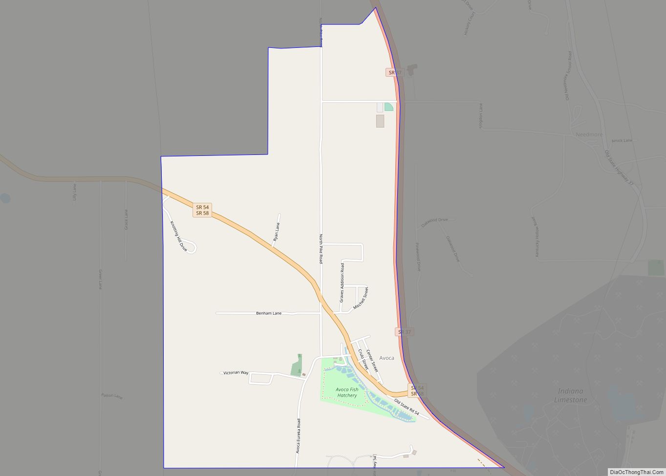
Avoca is an unincorporated community and census-designated place in Marshall Township, Lawrence County, Indiana, United States. As of the 2010 census the population was 583.
| Name: | Avoca CDP |
|---|---|
| LSAD Code: | 57 |
| LSAD Description: | CDP (suffix) |
| State: | Indiana |
| County: | Lawrence County |
| Elevation: | 623 ft (190 m) |
| Total Area: | 2.10 sq mi (5.43 km²) |
| Land Area: | 2.10 sq mi (5.43 km²) |
| Water Area: | 0.00 sq mi (0.00 km²) |
| Total Population: | 545 |
| Population Density: | 260.14/sq mi (100.43/km²) |
| ZIP code: | 47420 |
| FIPS code: | 1802890 |
| GNISfeature ID: | 450637 |
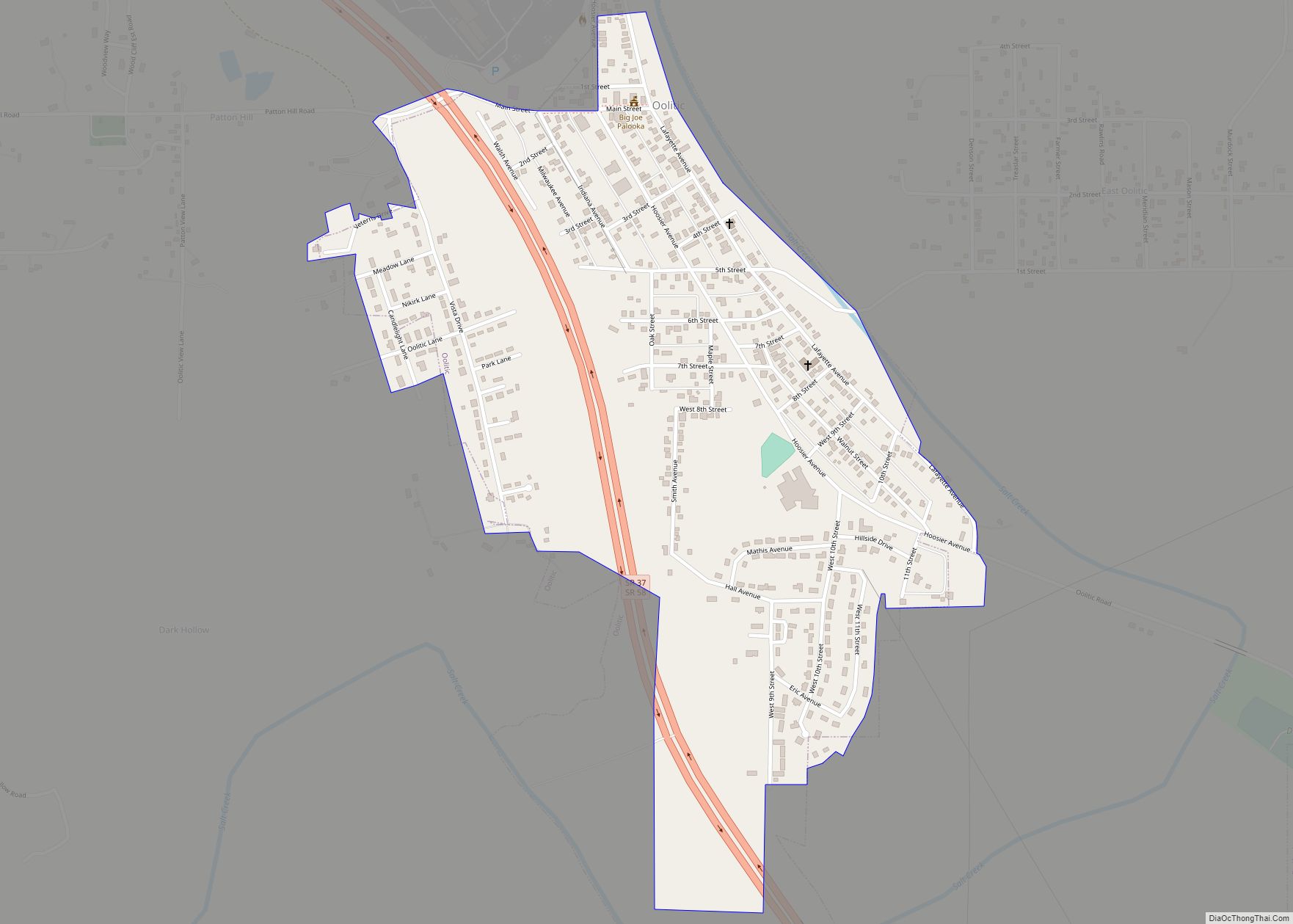
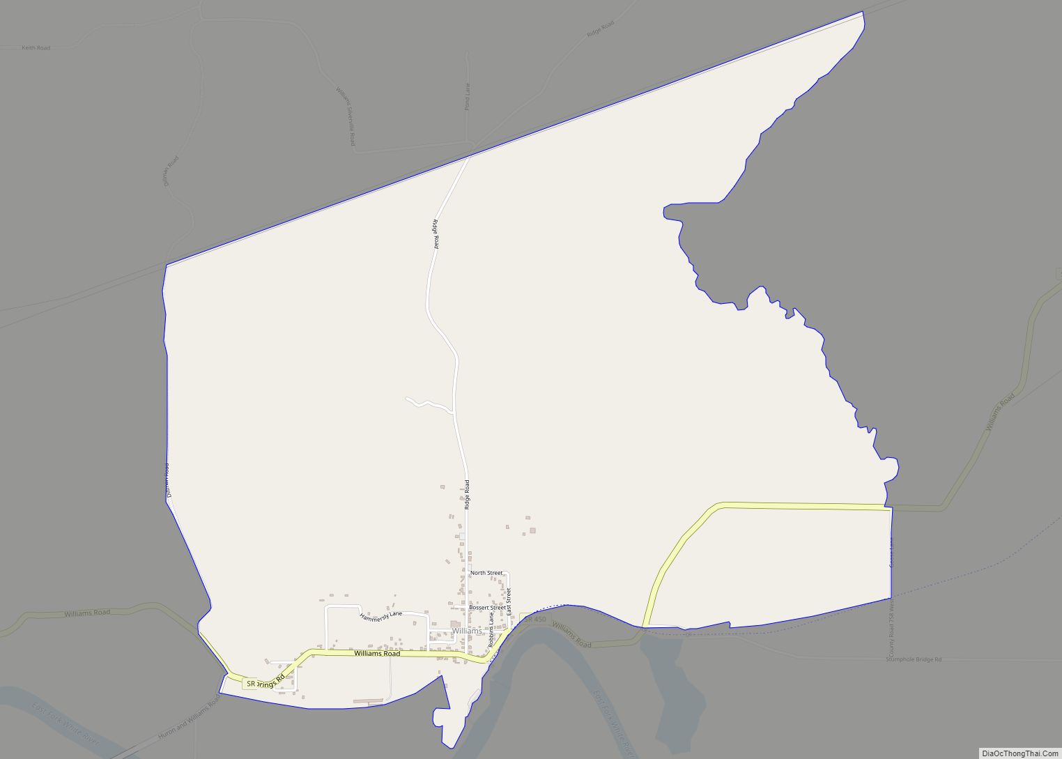
Online Interactive Map
Click on ![]() to view map in "full screen" mode.
to view map in "full screen" mode.
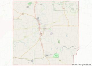
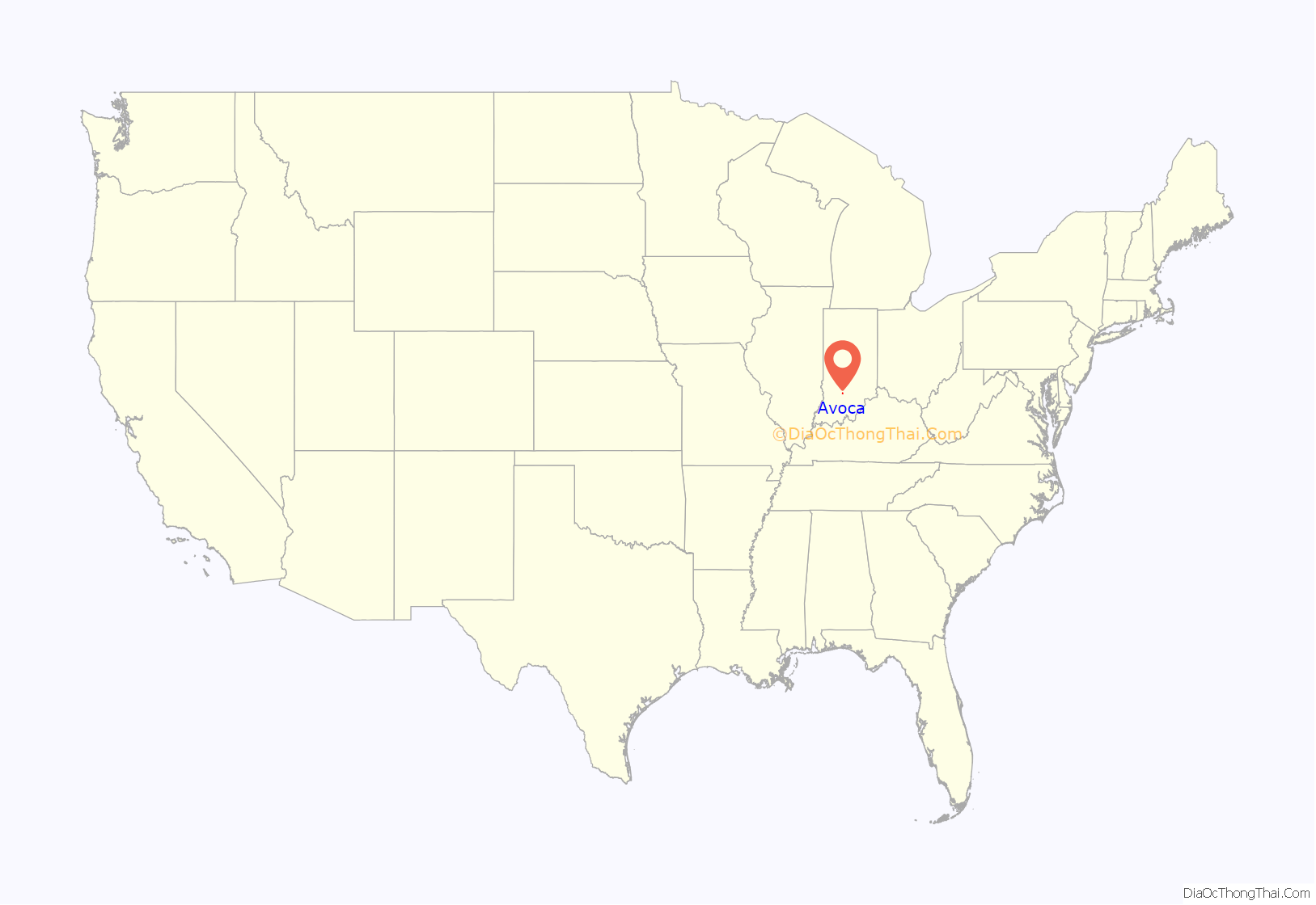
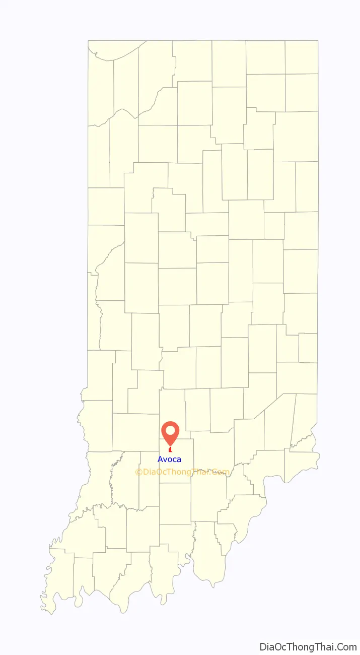
Avoca location map. Where is Avoca CDP?
History
Avoca was platted in 1819. The community likely took its name after the River Avoca, which was mentioned in a poem by Thomas Moore. The Avoca post office was established in 1856.
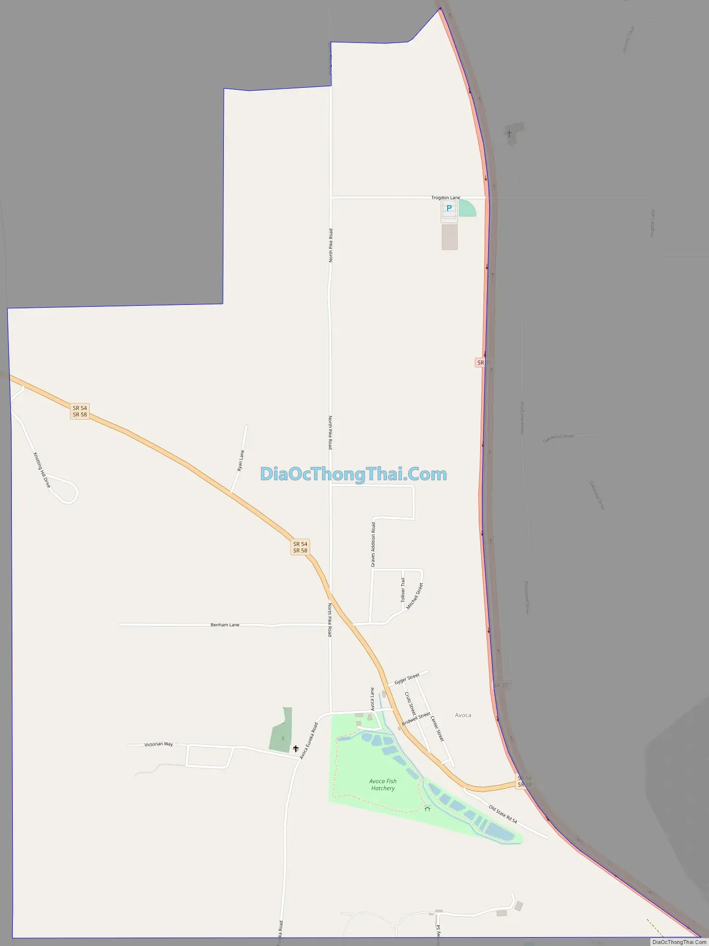
Avoca Road Map
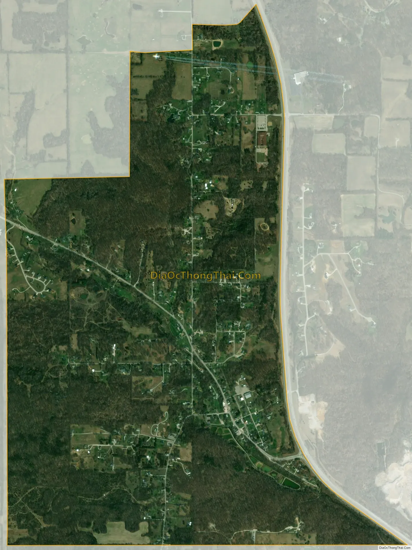
Avoca city Satellite Map
Geography
Avoca is located in northwestern Lawrence County at 38°54′43″N 86°32′52″W / 38.91194°N 86.54778°W / 38.91194; -86.54778, in the southwest corner of Marshall Township. Indiana State Road 37 runs along the eastern edge of the community, leading north 19 miles (31 km) to Bloomington and south 6 miles (10 km) to Bedford, the Lawrence county seat. State Road 58 passes through the center of Avoca, joining SR 37 southbound but leading west 11 miles (18 km) to Owensburg. State Road 54 has its eastern terminus at SR 37 and leads northwest 27 miles (43 km) to Bloomfield.
According to the U.S. Census Bureau, the Avoca census-designated place has an area of 2.1 square miles (5.4 km), all of it recorded as land. The community is in the valley of Goose Creek, which flows southeast to Salt Creek, part of the White River watershed.
Avoca Park
The Avoca State Fish Hatchery was built in 1819 and first served as a grist mill until 1919, when it was purchased by the DNR, who began building ponds in 1923. The Hatchery stocked Indiana’s waters with fish for years until it was decommissioned by the DNR in 2013 and fell into disrepair. Bedford Mayor Shawna Girgis asked Bedford Park Director, Barry Jeskewich, to restore this historical location for Lawrence County. Barry Jeskewich partnered with James Farmer, Indiana University Substaining Hoosier Communities to obtained a grant to preserve this beloved green space for the surrounding community. Avoca State Fish Hatchery was renamed Avoca Park and Recreation and is now in the hands of the local community.
See also
Map of Indiana State and its subdivision:- Adams
- Allen
- Bartholomew
- Benton
- Blackford
- Boone
- Brown
- Carroll
- Cass
- Clark
- Clay
- Clinton
- Crawford
- Daviess
- De Kalb
- Dearborn
- Decatur
- Delaware
- Dubois
- Elkhart
- Fayette
- Floyd
- Fountain
- Franklin
- Fulton
- Gibson
- Grant
- Greene
- Hamilton
- Hancock
- Harrison
- Hendricks
- Henry
- Howard
- Huntington
- Jackson
- Jasper
- Jay
- Jefferson
- Jennings
- Johnson
- Knox
- Kosciusko
- LaGrange
- Lake
- Lake Michigan
- LaPorte
- Lawrence
- Madison
- Marion
- Marshall
- Martin
- Miami
- Monroe
- Montgomery
- Morgan
- Newton
- Noble
- Ohio
- Orange
- Owen
- Parke
- Perry
- Pike
- Porter
- Posey
- Pulaski
- Putnam
- Randolph
- Ripley
- Rush
- Saint Joseph
- Scott
- Shelby
- Spencer
- Starke
- Steuben
- Sullivan
- Switzerland
- Tippecanoe
- Tipton
- Union
- Vanderburgh
- Vermillion
- Vigo
- Wabash
- Warren
- Warrick
- Washington
- Wayne
- Wells
- White
- Whitley
- Alabama
- Alaska
- Arizona
- Arkansas
- California
- Colorado
- Connecticut
- Delaware
- District of Columbia
- Florida
- Georgia
- Hawaii
- Idaho
- Illinois
- Indiana
- Iowa
- Kansas
- Kentucky
- Louisiana
- Maine
- Maryland
- Massachusetts
- Michigan
- Minnesota
- Mississippi
- Missouri
- Montana
- Nebraska
- Nevada
- New Hampshire
- New Jersey
- New Mexico
- New York
- North Carolina
- North Dakota
- Ohio
- Oklahoma
- Oregon
- Pennsylvania
- Rhode Island
- South Carolina
- South Dakota
- Tennessee
- Texas
- Utah
- Vermont
- Virginia
- Washington
- West Virginia
- Wisconsin
- Wyoming