Bourbon is a town in Bourbon Township, Marshall County, Indiana, United States. The population was 1,698 at the 2020 census.
| Name: | Bourbon town |
|---|---|
| LSAD Code: | 43 |
| LSAD Description: | town (suffix) |
| State: | Indiana |
| County: | Marshall County |
| Elevation: | 843 ft (257 m) |
| Total Area: | 1.16 sq mi (2.99 km²) |
| Land Area: | 1.15 sq mi (2.98 km²) |
| Water Area: | 0.00 sq mi (0.01 km²) |
| Total Population: | 2,861 |
| Population Density: | 1,475.24/sq mi (569.51/km²) |
| ZIP code: | 46504 |
| Area code: | 574 |
| FIPS code: | 1806760 |
| GNISfeature ID: | 0431382 |
| Website: | bourbon-in.gov |
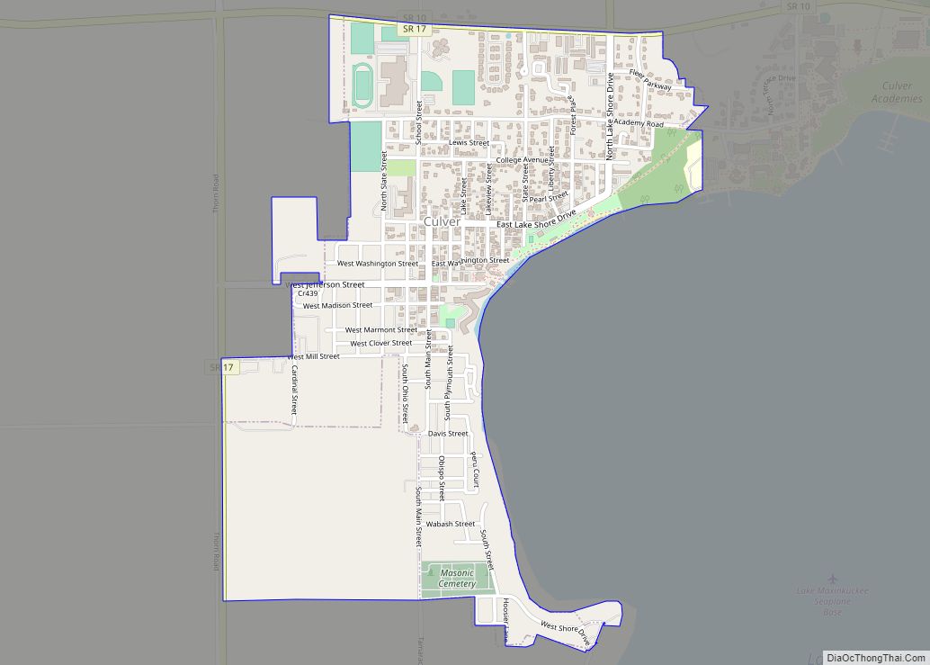
Online Interactive Map
Click on ![]() to view map in "full screen" mode.
to view map in "full screen" mode.
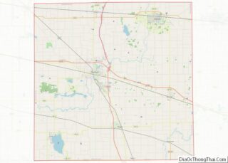
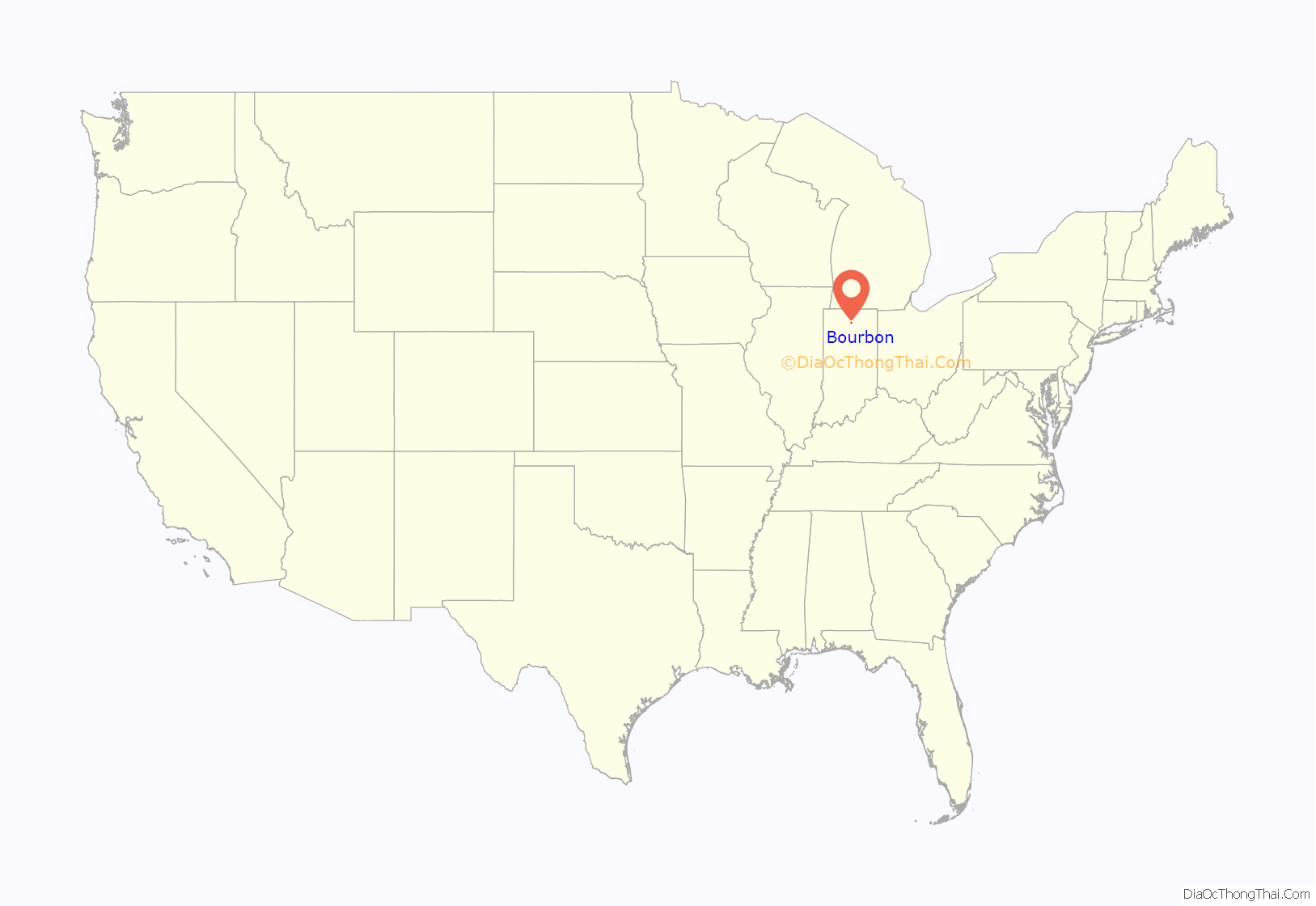
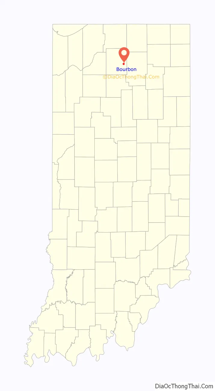
Bourbon location map. Where is Bourbon town?
History
The town of Bourbon was laid out in 1853 when it was certain the railroad would be extended to that point. It took its name from Bourbon Township, which was named after Bourbon County, Kentucky, the former home of many of the early settlers.
The Bourbon Community Building-Gymnasium was listed on the National Register of Historic Places in 2015.
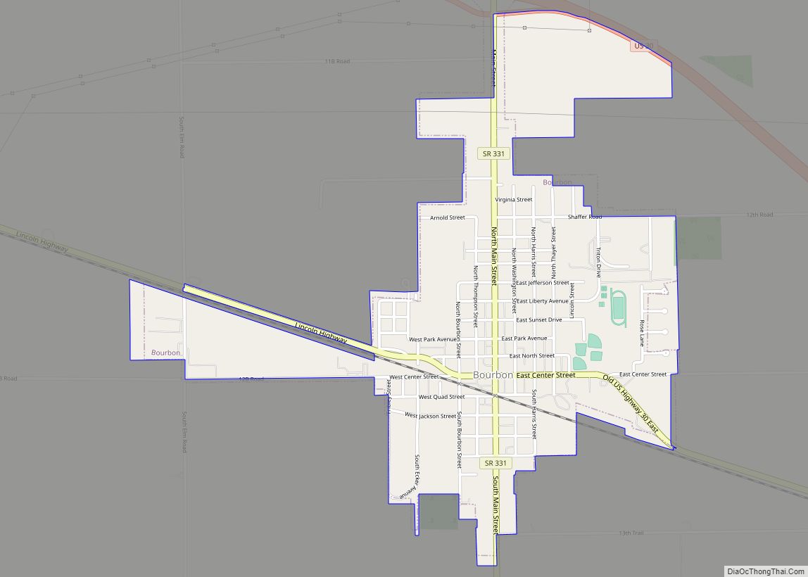
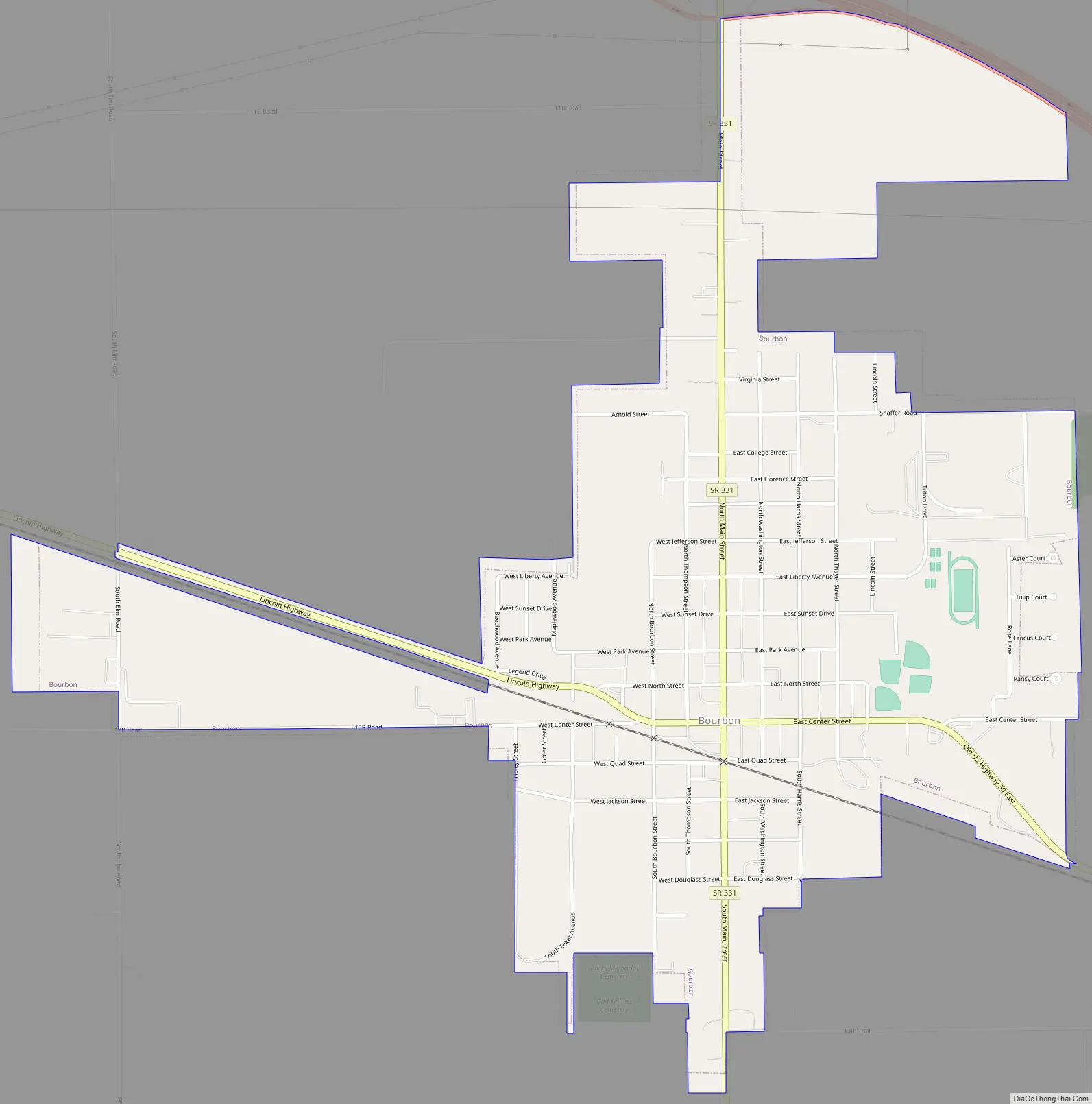
Bourbon Road Map
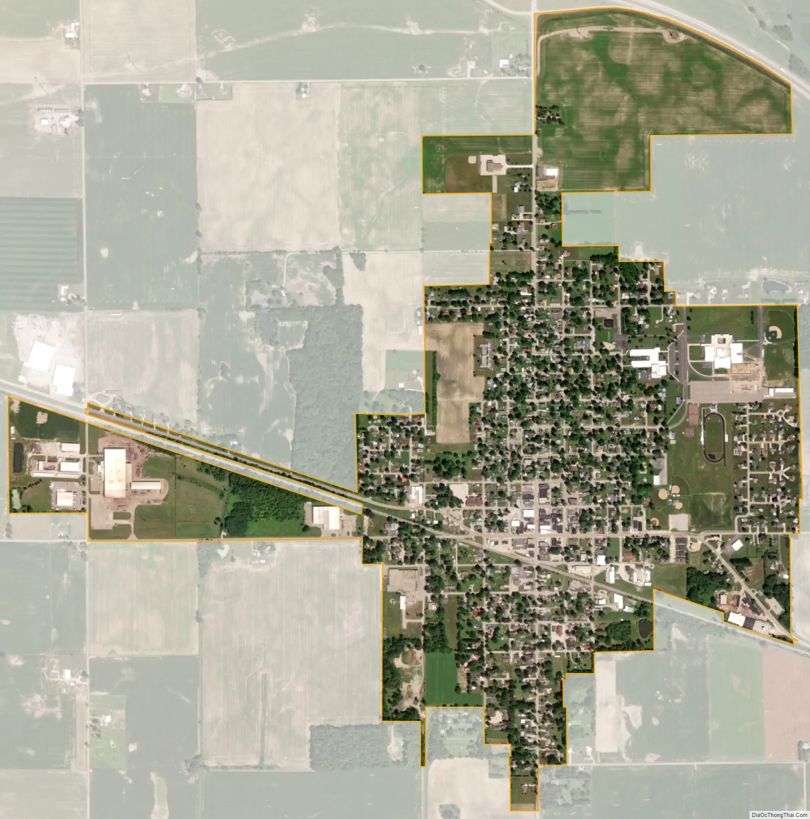
Bourbon city Satellite Map
Geography
Bourbon is located at 41°17′52″N 86°7′1″W / 41.29778°N 86.11694°W / 41.29778; -86.11694 (41.297815, -86.116921).
According to the 2010 census, Bourbon has a total area of 0.99 square miles (2.56 km), all land.
See also
Map of Indiana State and its subdivision:- Adams
- Allen
- Bartholomew
- Benton
- Blackford
- Boone
- Brown
- Carroll
- Cass
- Clark
- Clay
- Clinton
- Crawford
- Daviess
- De Kalb
- Dearborn
- Decatur
- Delaware
- Dubois
- Elkhart
- Fayette
- Floyd
- Fountain
- Franklin
- Fulton
- Gibson
- Grant
- Greene
- Hamilton
- Hancock
- Harrison
- Hendricks
- Henry
- Howard
- Huntington
- Jackson
- Jasper
- Jay
- Jefferson
- Jennings
- Johnson
- Knox
- Kosciusko
- LaGrange
- Lake
- Lake Michigan
- LaPorte
- Lawrence
- Madison
- Marion
- Marshall
- Martin
- Miami
- Monroe
- Montgomery
- Morgan
- Newton
- Noble
- Ohio
- Orange
- Owen
- Parke
- Perry
- Pike
- Porter
- Posey
- Pulaski
- Putnam
- Randolph
- Ripley
- Rush
- Saint Joseph
- Scott
- Shelby
- Spencer
- Starke
- Steuben
- Sullivan
- Switzerland
- Tippecanoe
- Tipton
- Union
- Vanderburgh
- Vermillion
- Vigo
- Wabash
- Warren
- Warrick
- Washington
- Wayne
- Wells
- White
- Whitley
- Alabama
- Alaska
- Arizona
- Arkansas
- California
- Colorado
- Connecticut
- Delaware
- District of Columbia
- Florida
- Georgia
- Hawaii
- Idaho
- Illinois
- Indiana
- Iowa
- Kansas
- Kentucky
- Louisiana
- Maine
- Maryland
- Massachusetts
- Michigan
- Minnesota
- Mississippi
- Missouri
- Montana
- Nebraska
- Nevada
- New Hampshire
- New Jersey
- New Mexico
- New York
- North Carolina
- North Dakota
- Ohio
- Oklahoma
- Oregon
- Pennsylvania
- Rhode Island
- South Carolina
- South Dakota
- Tennessee
- Texas
- Utah
- Vermont
- Virginia
- Washington
- West Virginia
- Wisconsin
- Wyoming