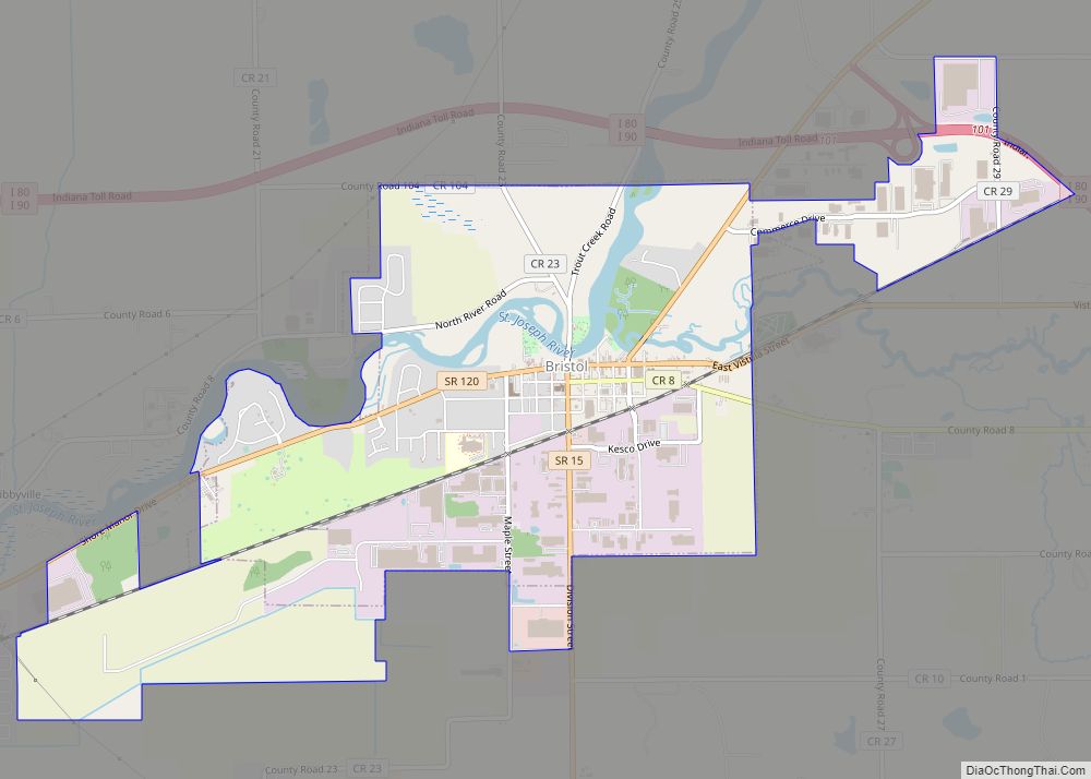
Bristol is a town in Washington Township, Elkhart County, Indiana, United States. The population was 1,602 at the 2010 census.
| Name: | Bristol town |
|---|---|
| LSAD Code: | 43 |
| LSAD Description: | town (suffix) |
| State: | Indiana |
| County: | Elkhart County |
| Elevation: | 748 ft (228 m) |
| Total Area: | 4.16 sq mi (10.78 km²) |
| Land Area: | 4.02 sq mi (10.41 km²) |
| Water Area: | 0.14 sq mi (0.37 km²) |
| Total Population: | 1,789 |
| Population Density: | 445.14/sq mi (171.85/km²) |
| ZIP code: | 46507 |
| Area code: | 574 |
| FIPS code: | 1807750 |
| Website: | www.bristolindiana.net |
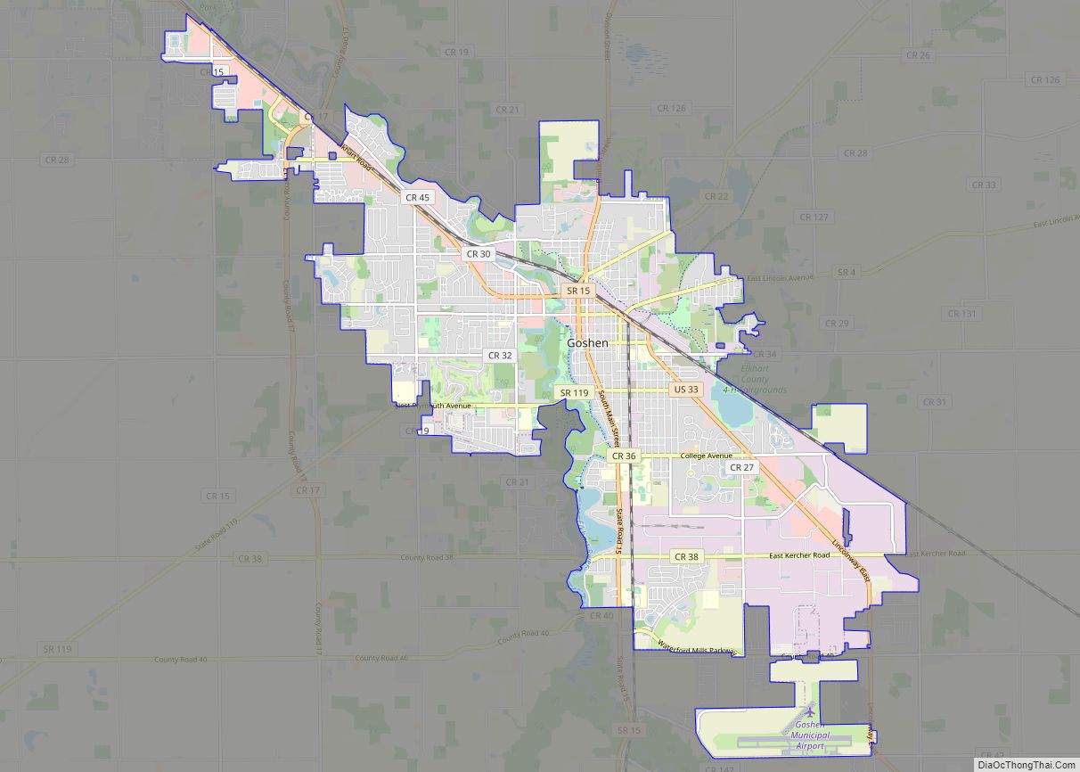
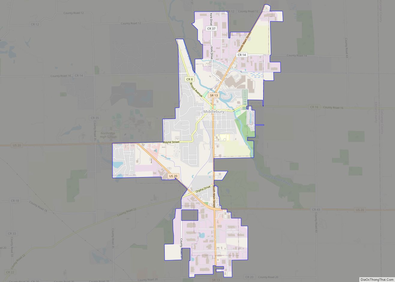
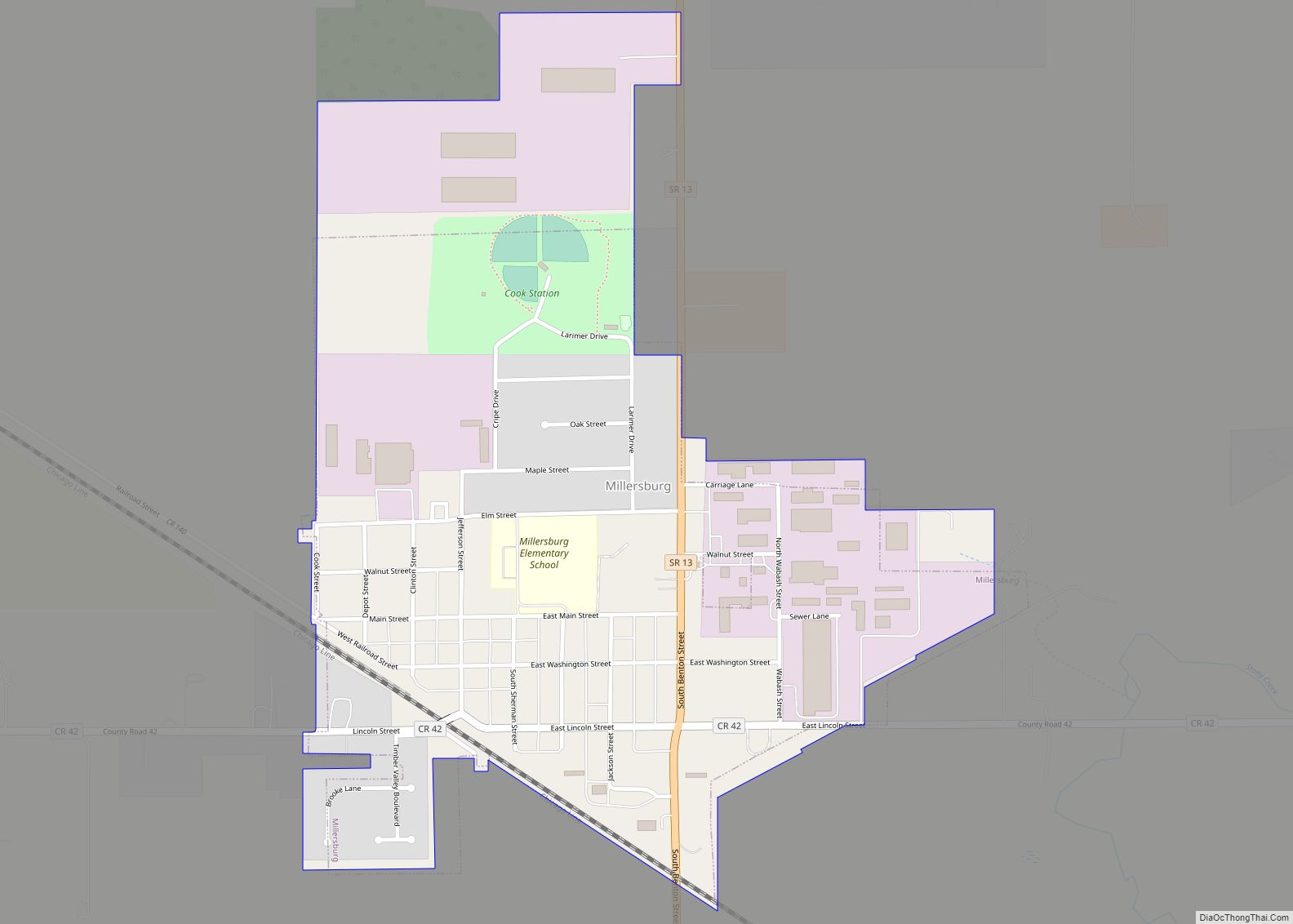
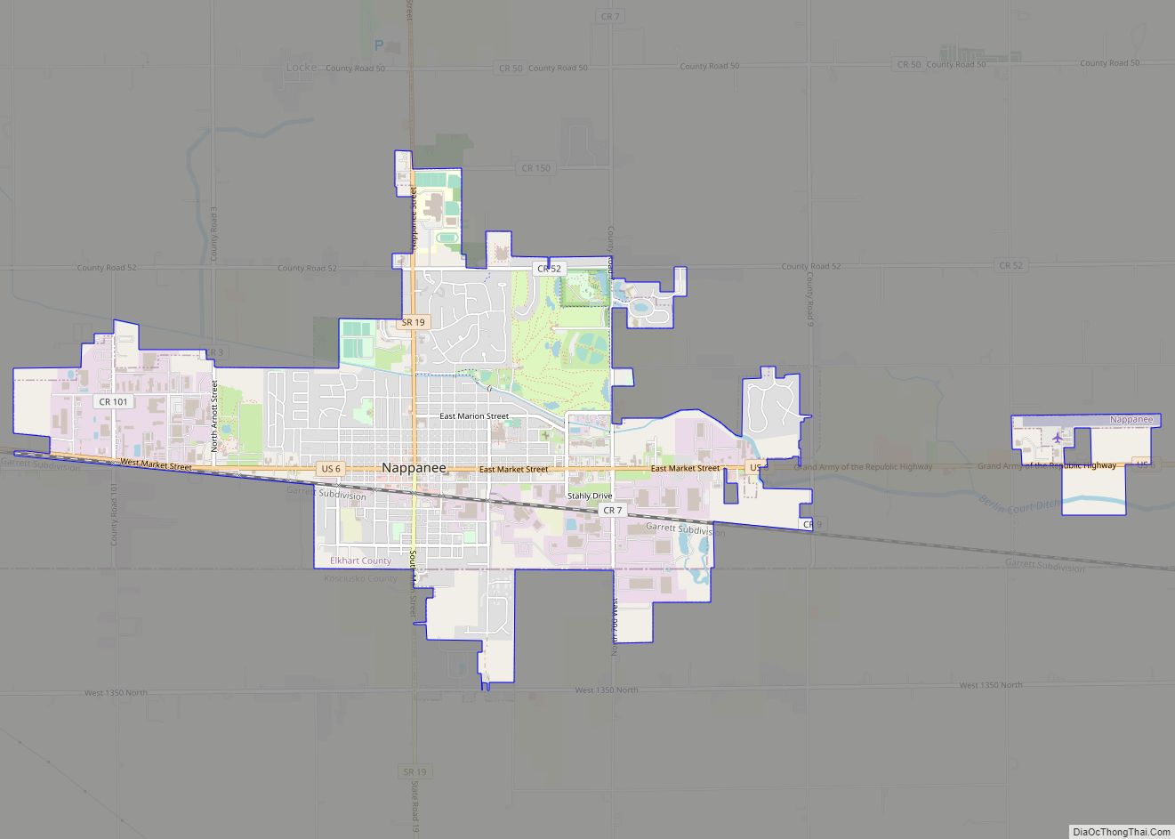
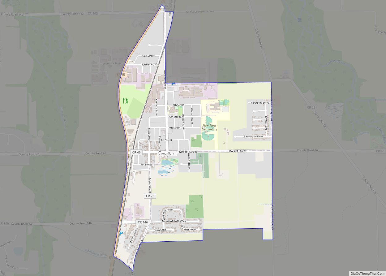
Online Interactive Map
Click on ![]() to view map in "full screen" mode.
to view map in "full screen" mode.
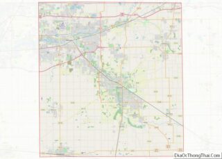
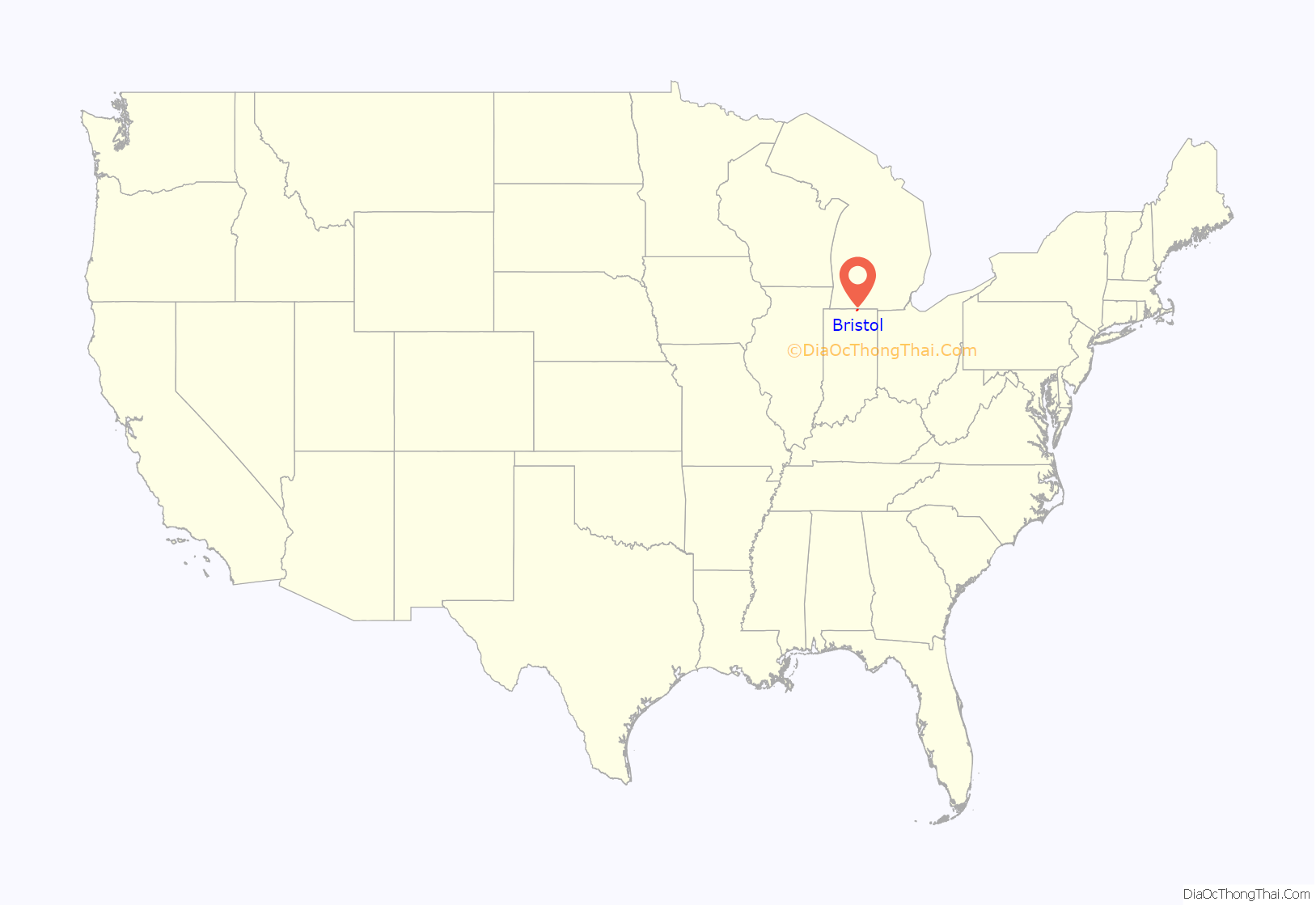
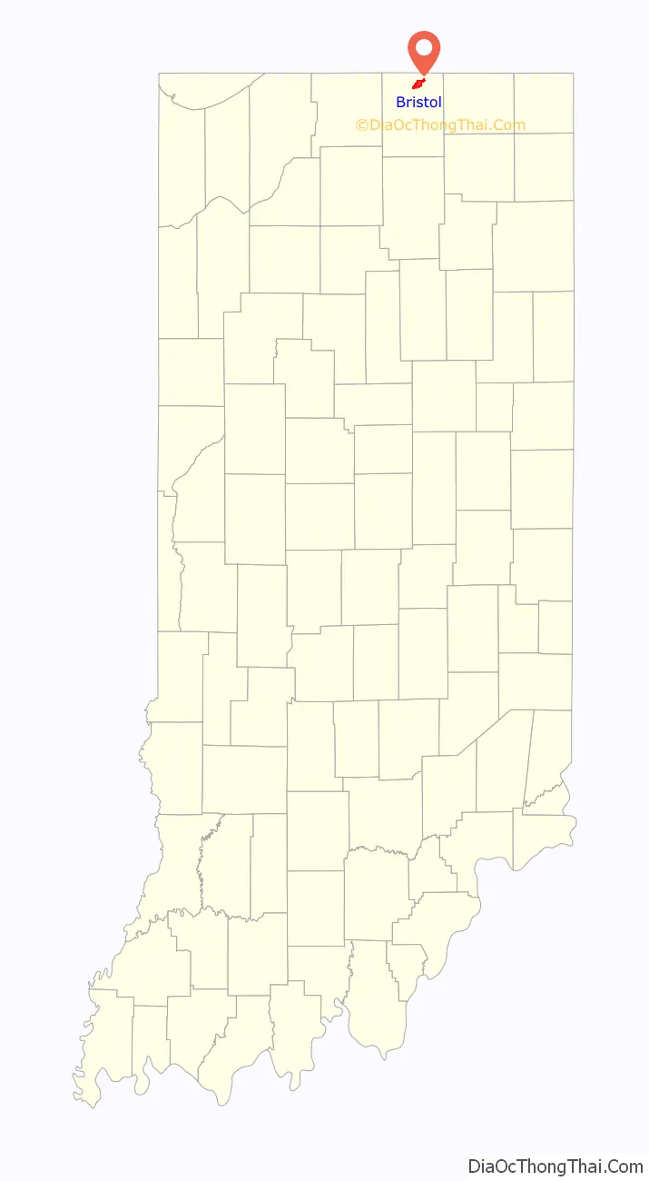
Bristol location map. Where is Bristol town?
History
Bristol was platted about 1835, making it one of the oldest towns in Elkhart County. It was named after the city of Bristol, in England.
The Bristol-Washington Township School, Solomon Fowler Mansion, and St. John of the Cross Episcopal Church, Rectory and Cemetery are listed on the National Register of Historic Places.
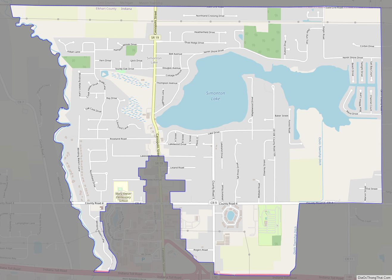
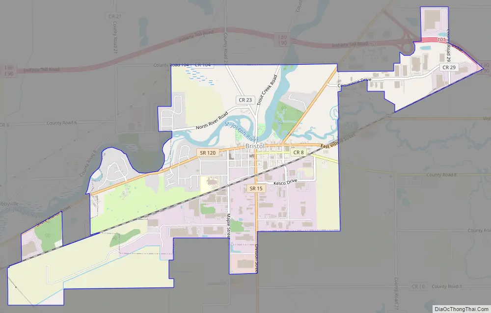
Bristol Road Map
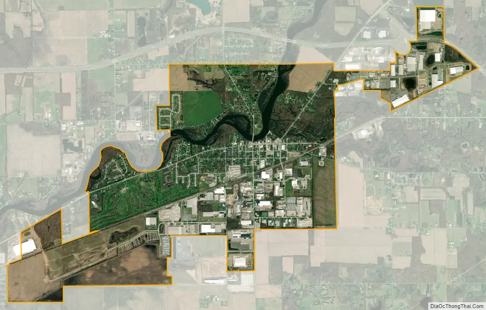
Bristol city Satellite Map
Geography
Bristol is located at 41°43′16″N 85°49′6″W / 41.72111°N 85.81833°W / 41.72111; -85.81833 (41.721050, -85.818195).
According to the 2010 census, Bristol has a total area of 3.82 square miles (9.89 km), of which 3.69 square miles (9.56 km) (or 96.6%) is land and 0.13 square miles (0.34 km) (or 3.4%) is water.
See also
Map of Indiana State and its subdivision:- Adams
- Allen
- Bartholomew
- Benton
- Blackford
- Boone
- Brown
- Carroll
- Cass
- Clark
- Clay
- Clinton
- Crawford
- Daviess
- De Kalb
- Dearborn
- Decatur
- Delaware
- Dubois
- Elkhart
- Fayette
- Floyd
- Fountain
- Franklin
- Fulton
- Gibson
- Grant
- Greene
- Hamilton
- Hancock
- Harrison
- Hendricks
- Henry
- Howard
- Huntington
- Jackson
- Jasper
- Jay
- Jefferson
- Jennings
- Johnson
- Knox
- Kosciusko
- LaGrange
- Lake
- Lake Michigan
- LaPorte
- Lawrence
- Madison
- Marion
- Marshall
- Martin
- Miami
- Monroe
- Montgomery
- Morgan
- Newton
- Noble
- Ohio
- Orange
- Owen
- Parke
- Perry
- Pike
- Porter
- Posey
- Pulaski
- Putnam
- Randolph
- Ripley
- Rush
- Saint Joseph
- Scott
- Shelby
- Spencer
- Starke
- Steuben
- Sullivan
- Switzerland
- Tippecanoe
- Tipton
- Union
- Vanderburgh
- Vermillion
- Vigo
- Wabash
- Warren
- Warrick
- Washington
- Wayne
- Wells
- White
- Whitley
- Alabama
- Alaska
- Arizona
- Arkansas
- California
- Colorado
- Connecticut
- Delaware
- District of Columbia
- Florida
- Georgia
- Hawaii
- Idaho
- Illinois
- Indiana
- Iowa
- Kansas
- Kentucky
- Louisiana
- Maine
- Maryland
- Massachusetts
- Michigan
- Minnesota
- Mississippi
- Missouri
- Montana
- Nebraska
- Nevada
- New Hampshire
- New Jersey
- New Mexico
- New York
- North Carolina
- North Dakota
- Ohio
- Oklahoma
- Oregon
- Pennsylvania
- Rhode Island
- South Carolina
- South Dakota
- Tennessee
- Texas
- Utah
- Vermont
- Virginia
- Washington
- West Virginia
- Wisconsin
- Wyoming