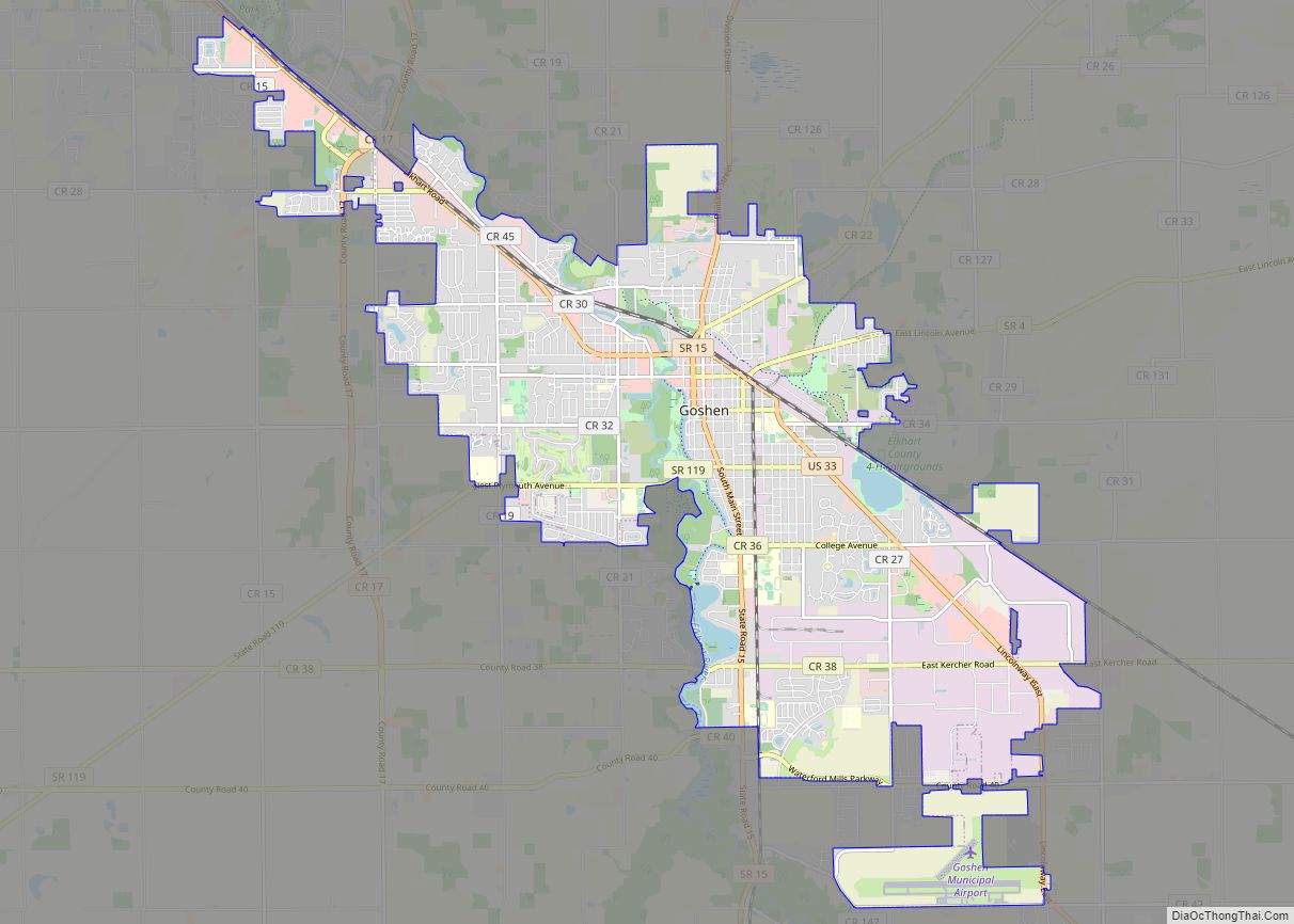
Goshen (/ˈɡoʊʃən/ GOH-shən) is a city in and the county seat of Elkhart County, Indiana, United States. It is the smaller of the two principal cities of the Elkhart–Goshen Metropolitan Statistical Area, which in turn is part of the South Bend–Elkhart–Mishawaka Combined Statistical Area. It is located in the northern part of Indiana near the Michigan border, in a region known as Michiana. Goshen is located 10 miles southeast of Elkhart, 25 miles southeast of South Bend, 120 miles east of Chicago, and 150 miles north of Indianapolis. The population was 34,517 at the 2020 census.
The city is known as an extremely prominent recreational vehicle and accessories manufacturing center, the home of Goshen College, a small Mennonite liberal arts college, and the Elkhart County 4-H Fair, one of the largest county fairs in the United States.
| Name: | Goshen city |
|---|---|
| LSAD Code: | 25 |
| LSAD Description: | city (suffix) |
| State: | Indiana |
| County: | Elkhart County |
| Elevation: | 801 ft (244 m) |
| Total Area: | 17.95 sq mi (46.50 km²) |
| Land Area: | 17.57 sq mi (45.52 km²) |
| Water Area: | 0.38 sq mi (0.98 km²) |
| Total Population: | 34,517 |
| Population Density: | 1,963.98/sq mi (758.28/km²) |
| ZIP code: | 46526-46528 |
| Area code: | 574 |
| FIPS code: | 1828386 |
| GNISfeature ID: | 0435227 |
| Website: | goshenindiana.org |
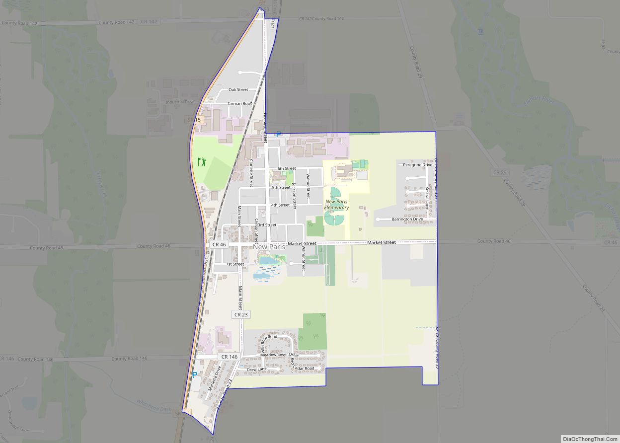
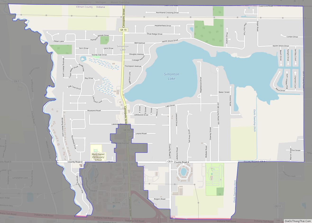
Online Interactive Map
Click on ![]() to view map in "full screen" mode.
to view map in "full screen" mode.
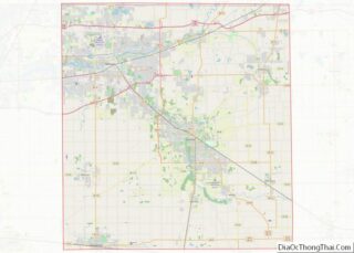
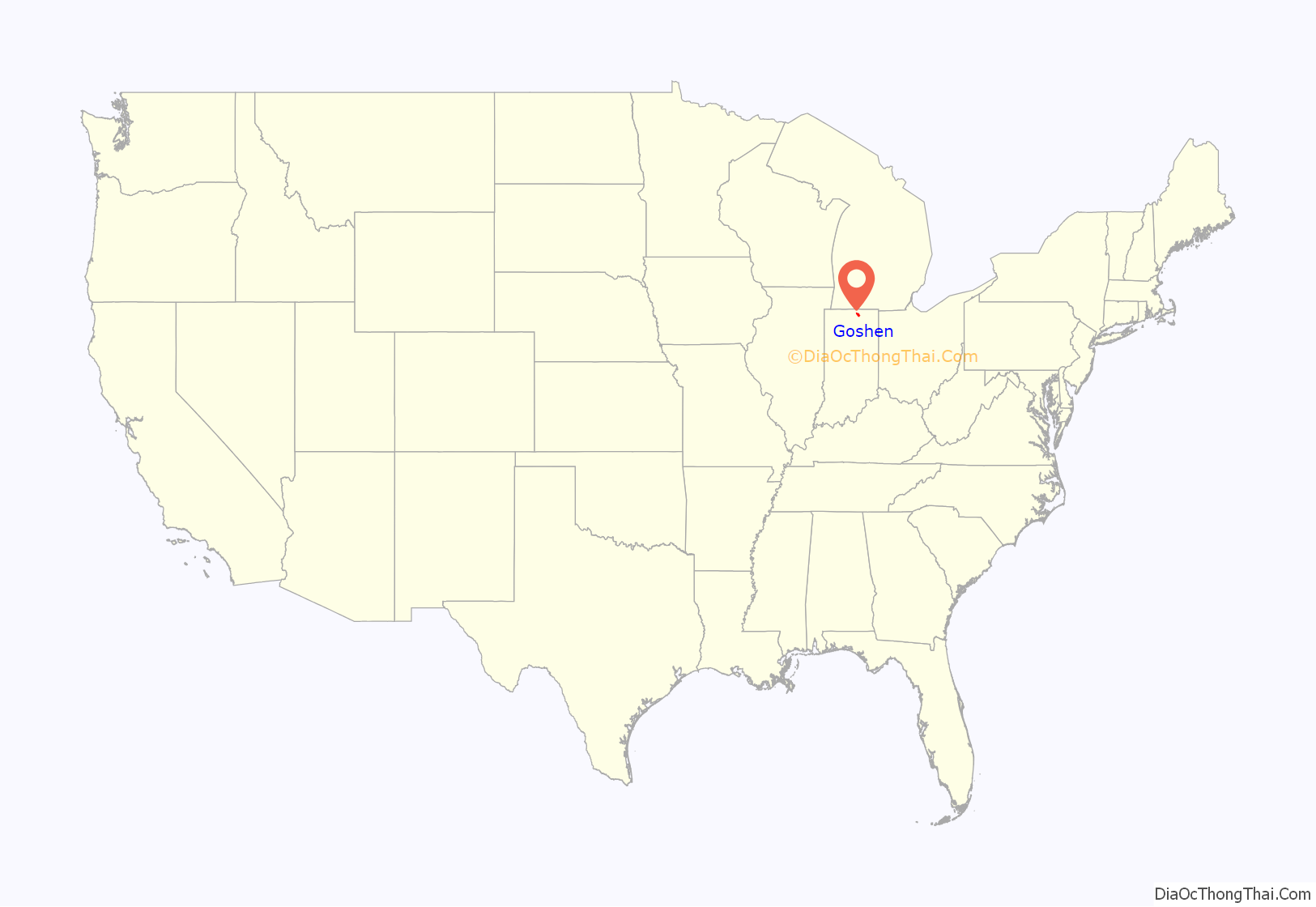
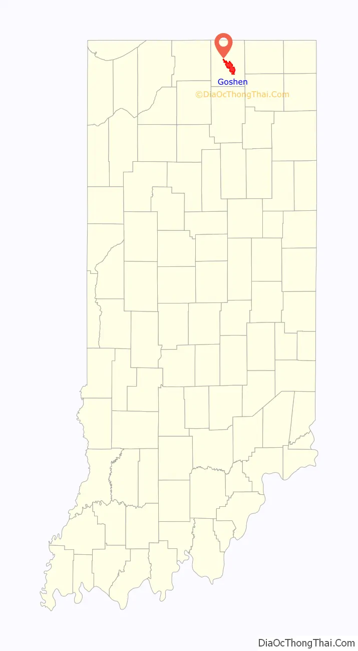
Goshen location map. Where is Goshen city?
History
Before the arrival of white colonists, the land that is today Goshen, Indiana, was populated by Native Americans, specifically the Miami people, the Peoria people, and Potawatomi peoples. These people inhabited this land for thousands of years. In 1830, the US Congress passed the Indian Removal Act, requiring all indigenous people to relocate west of the Mississippi River.
Goshen was platted in 1831. It was named after the Land of Goshen. The initial settlers consisted entirely of old stock “Yankee” immigrants, who were descended from the English Puritans who settled New England in the 1600s. The New England Yankee population that founded towns such as Goshen considered themselves the “chosen people,” and identified with the Israelites of the Old Testament and they thought of North America as their Canaan. They founded a large number of towns and counties across what is known as the Northern Tier of the upper midwest. It was in this context that Goshen was named.
The Yankee migration to Indiana was a result of several factors, one of which was the overpopulation of New England. The old-stock Yankee population had large families, often bearing up to ten children in one household. Most people were expected to have their own piece of land to farm, and due to the massive and nonstop population boom, land in New England became scarce as every son claimed his own farmstead. As a result, there was not enough land for every family to have a self-sustaining farm, and Yankee settlers began leaving New England for the Midwestern United States.
They were aided in this effort by the construction and completion of the Erie Canal which made traveling to the region much easier, causing an additional surge in migrants coming from New England. Added to this was the end of the Black Hawk War, which made the region much safer for white settlers to travel through and settle in. However, the Black Hawk War also forced the native people who called Goshen home for so long to leave. The 1833 Treaty of Chicago ultimately set the conditions that would force the Potawatomi in particular to leave the Midwest, Goshen included, in 1837. This forced exile is known today as the Potawatomi Trail of Death.
These settlers were primarily members of the Congregational Church, though due to the Second Great Awakening, many of them had converted to Methodism, and some had become Baptists before coming to what is now Indiana. The Congregational Church has subsequently gone through many divisions, and some factions, including those in Goshen, are now known as the Church of Christ and the United Church of Christ. When the New Englanders arrived in what is now Elkhart County there was nothing but a dense virgin forest and wild prairie. They laid out farms, constructed roads, erected government buildings, and established post routes.
On Palm Sunday, April 11, 1965, a large outbreak of tornadoes struck the Midwest. The most famous pair of tornadoes devastated the Midway Trailer Park (now inside the city limits of Goshen), and the Sunnyside Housing Addition in Dunlap, Indiana. Another, smaller F4 tornado also struck neighborhoods on the southeast side of Goshen on the same day. Statewide, 137 Hoosiers died in the storms—55 of them in Elkhart County. Days later, President Lyndon B. Johnson visited the Dunlap site.
The Goshen Historic District, added in 1983 to the National Register of Historic Places is bounded by Pike, RR, Cottage, Plymouth, Main, Purl, the Canal, and Second Sts. with the Elkhart County Courthouse at its center.
In April 2006, Goshen was the site of an immigration march. Officials estimated that from 2,000 to 3,000 people marched from Linway Plaza to the County Courthouse.
Goshen has been called a “sundown town”, and African Americans were allegedly prevented from living in, or entering, the town, under threat of violence. However, there was never a city ordinance or official policy to enforce such a restriction. Nevertheless, in March 2015, the city issued a formal apology for racial discrimination in the past. A documentary made at Goshen College, “Goshen: A Sundown Town’s Transformation,” tells the story of why Goshen has been called a sundown town.
The Elkhart County Courthouse, Fort Wayne Street Bridge, Goshen Carnegie Public Library, Goshen Historic District, William N. Violett House, and Violett-Martin House and Gardens are listed on the National Register of Historic Places.
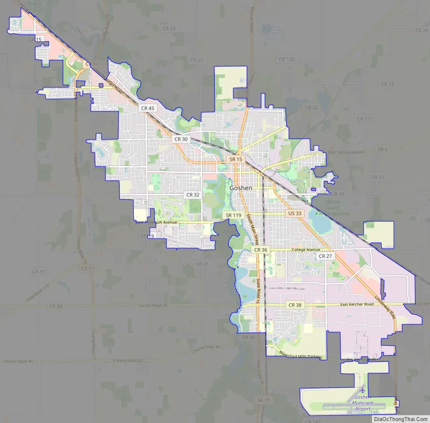
Goshen Road Map
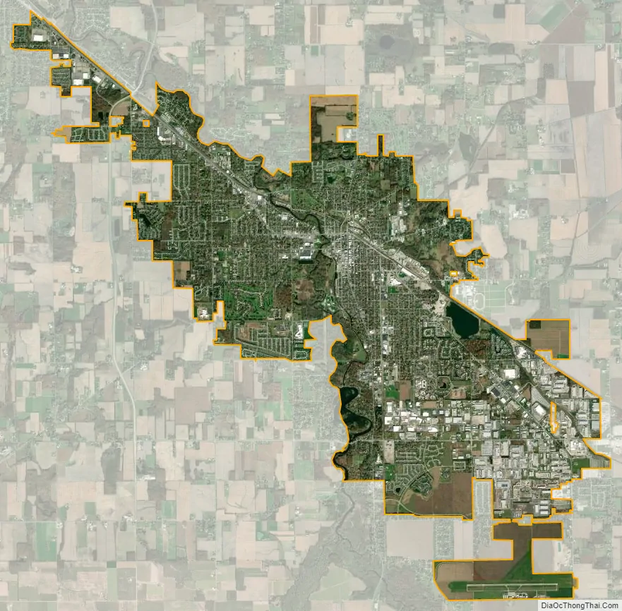
Goshen city Satellite Map
Geography
Goshen is located at 41°34′55″N 85°50′12″W / 41.58194°N 85.83667°W / 41.58194; -85.83667. The Elkhart River winds its way through the city and through a dam on the south side making the Goshen Dam Pond. Rock Run Creek also runs through town. The city is divided east/west by Main Street and north/south by Lincoln Avenue.
According to the United States Census Bureau, the city has a total area of 16.59 square miles (42.97 km), of which 16.23 square miles (42.04 km) is land and 0.36 square miles (0.93 km) is water.
Environmental leadership
In February 2018, the Elkhart River flooded as a result of heavy rain and snowmelt. The river rose to a record 13.2 feet, damaging more than 300 structures and prompting evacuations. City government has responded to the increase in severe weather such as flooding, hail, and heavy rains with measures including stormwater management, and “an initiative to grow the town’s tree canopy by 45%.” Goshen completed 92 solar projects in 2019. Goshen outranked Phoenix, Sacramento, Los Angeles, San Francisco, and Denver with its 2019 production of 116 watts of solar power per capita.
See also
Map of Indiana State and its subdivision:- Adams
- Allen
- Bartholomew
- Benton
- Blackford
- Boone
- Brown
- Carroll
- Cass
- Clark
- Clay
- Clinton
- Crawford
- Daviess
- De Kalb
- Dearborn
- Decatur
- Delaware
- Dubois
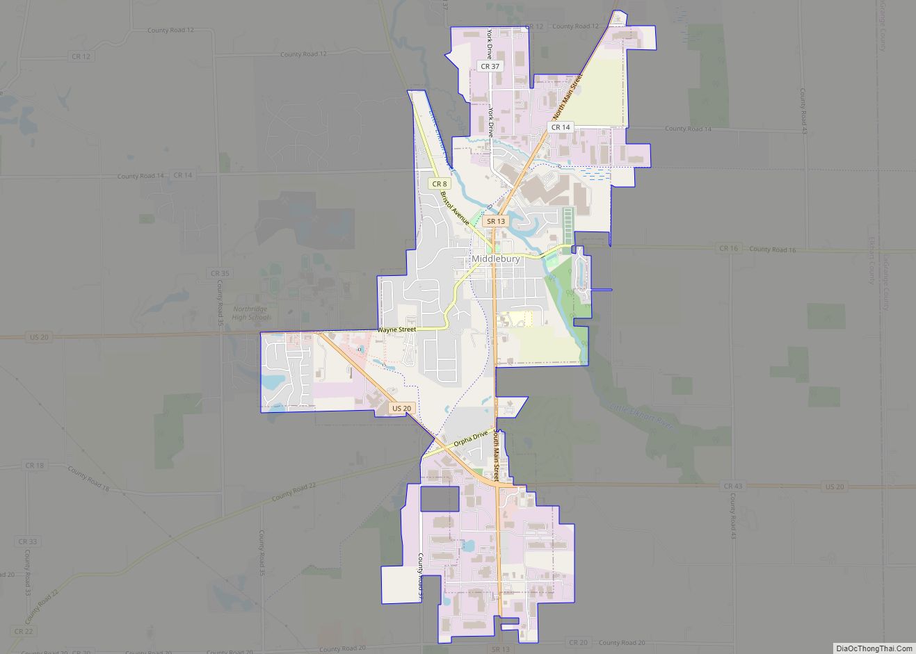
- Elkhart
- Fayette
- Floyd
- Fountain
- Franklin
- Fulton
- Gibson
- Grant
- Greene
- Hamilton
- Hancock
- Harrison
- Hendricks
- Henry
- Howard
- Huntington
- Jackson
- Jasper
- Jay
- Jefferson
- Jennings
- Johnson
- Knox
- Kosciusko
- LaGrange
- Lake
- Lake Michigan
- LaPorte
- Lawrence
- Madison
- Marion
- Marshall
- Martin
- Miami
- Monroe
- Montgomery
- Morgan
- Newton
- Noble
- Ohio
- Orange
- Owen
- Parke
- Perry
- Pike
- Porter
- Posey
- Pulaski
- Putnam
- Randolph
- Ripley
- Rush
- Saint Joseph
- Scott
- Shelby
- Spencer
- Starke
- Steuben
- Sullivan
- Switzerland
- Tippecanoe
- Tipton
- Union
- Vanderburgh
- Vermillion
- Vigo
- Wabash
- Warren
- Warrick
- Washington
- Wayne
- Wells
- White
- Whitley
- Alabama
- Alaska
- Arizona
- Arkansas
- California
- Colorado
- Connecticut
- Delaware
- District of Columbia
- Florida
- Georgia
- Hawaii
- Idaho
- Illinois
- Indiana
- Iowa
- Kansas
- Kentucky
- Louisiana
- Maine
- Maryland
- Massachusetts
- Michigan
- Minnesota
- Mississippi
- Missouri
- Montana
- Nebraska
- Nevada
- New Hampshire
- New Jersey
- New Mexico
- New York
- North Carolina
- North Dakota
- Ohio
- Oklahoma
- Oregon
- Pennsylvania
- Rhode Island
- South Carolina
- South Dakota
- Tennessee
- Texas
- Utah
- Vermont
- Virginia
- Washington
- West Virginia
- Wisconsin
- Wyoming