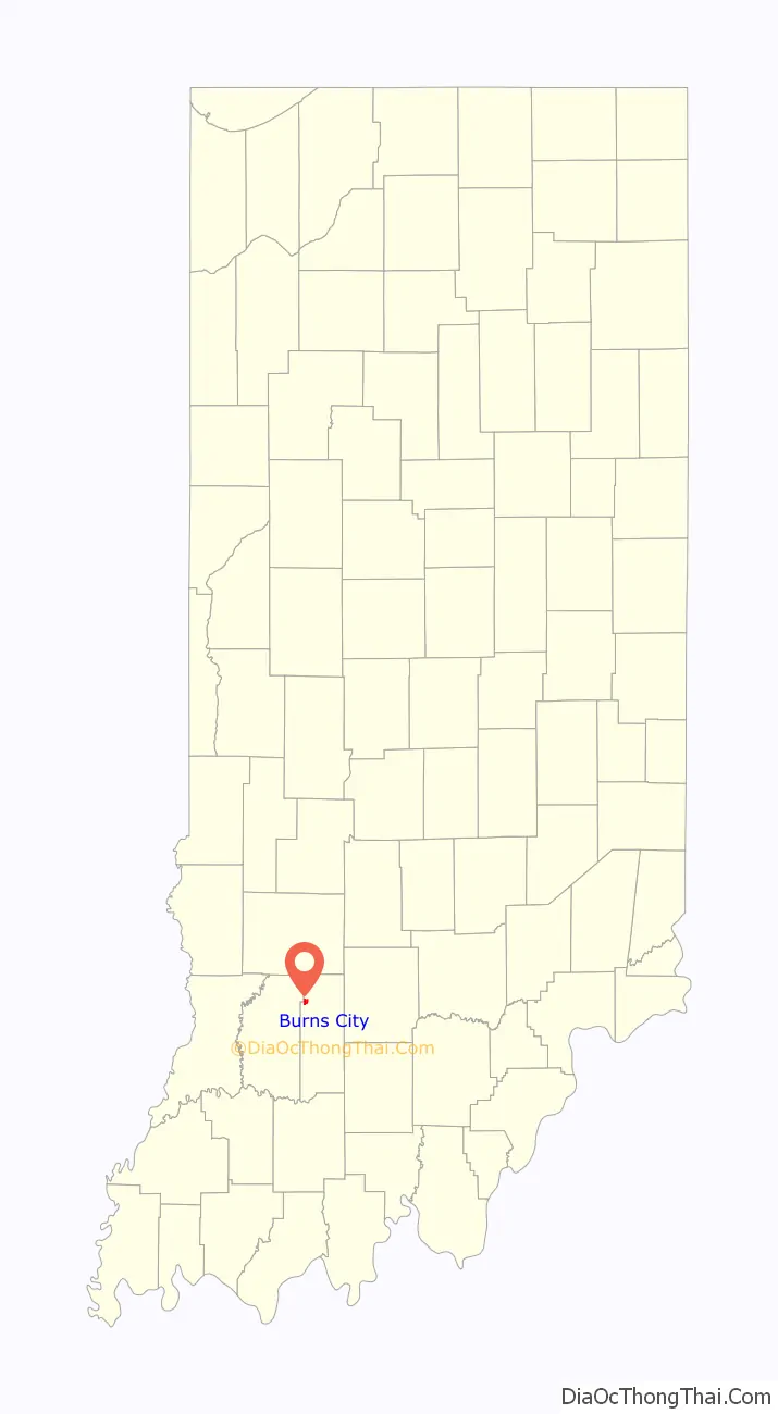
Burns City is an unincorporated community and census-designated place (CDP) in Perry Township, Martin County, in the U.S. state of Indiana. The population was 114 at the 2020 census.
| Name: | Burns City CDP |
|---|---|
| LSAD Code: | 57 |
| LSAD Description: | CDP (suffix) |
| State: | Indiana |
| County: | Martin County |
| Elevation: | 689 ft (210 m) |
| Total Area: | 0.74 sq mi (1.92 km²) |
| Land Area: | 0.73 sq mi (1.90 km²) |
| Water Area: | 0.01 sq mi (0.01 km²) |
| Total Population: | 114 |
| Population Density: | 155.10/sq mi (59.91/km²) |
| ZIP code: | 47553 (Loogootee) |
| Area code: | 812, 930 |
| FIPS code: | 1809352 |
| GNISfeature ID: | 2583447 |
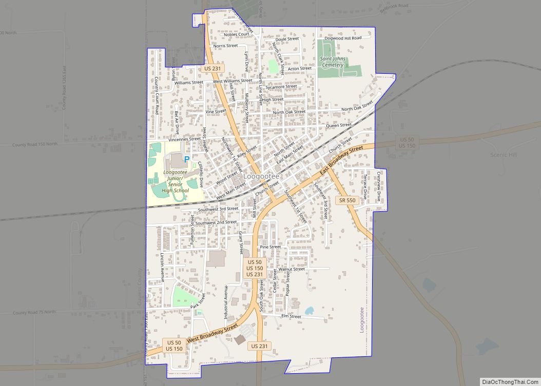
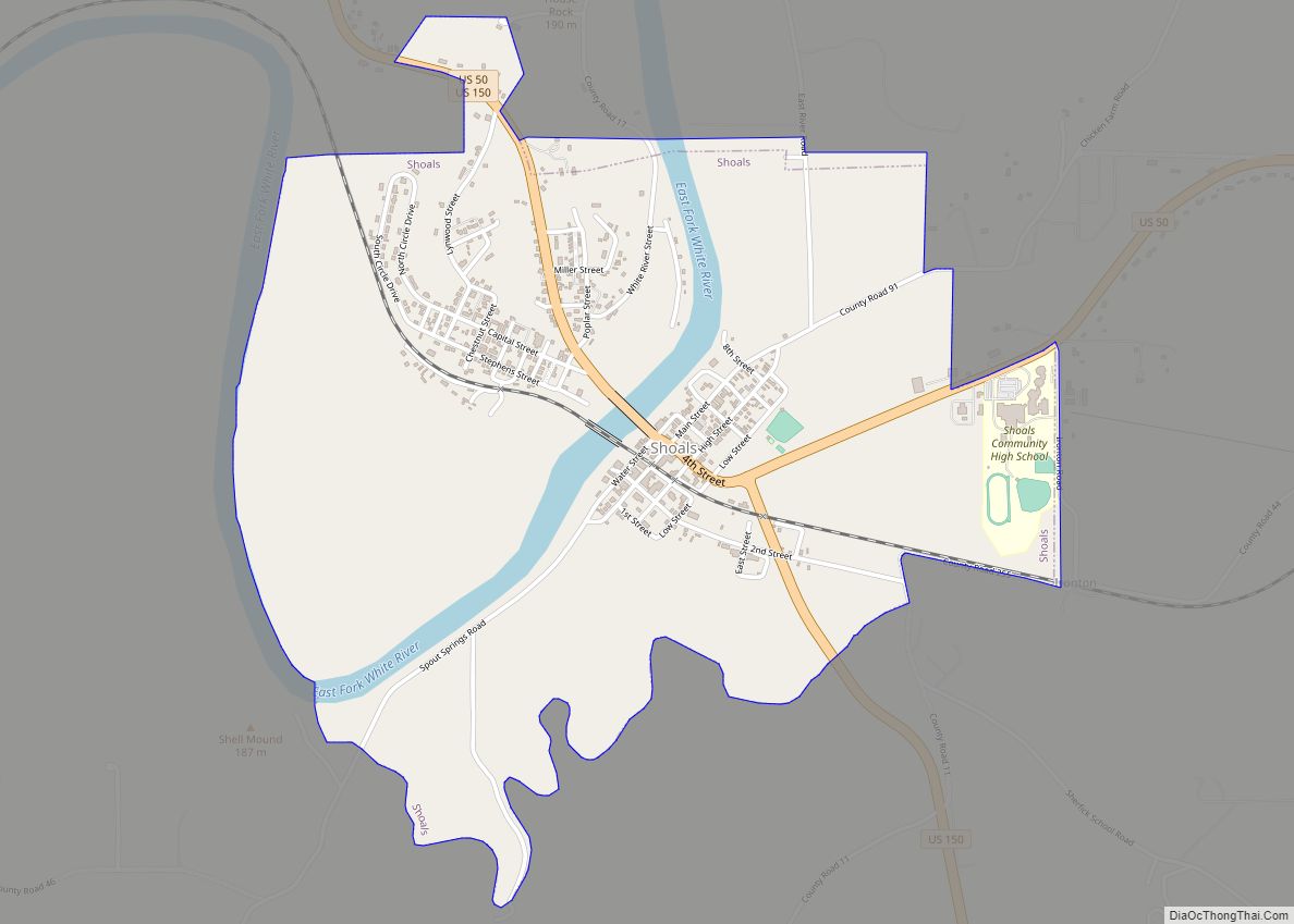
Online Interactive Map
Click on ![]() to view map in "full screen" mode.
to view map in "full screen" mode.
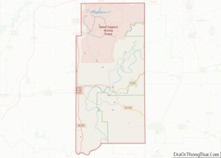
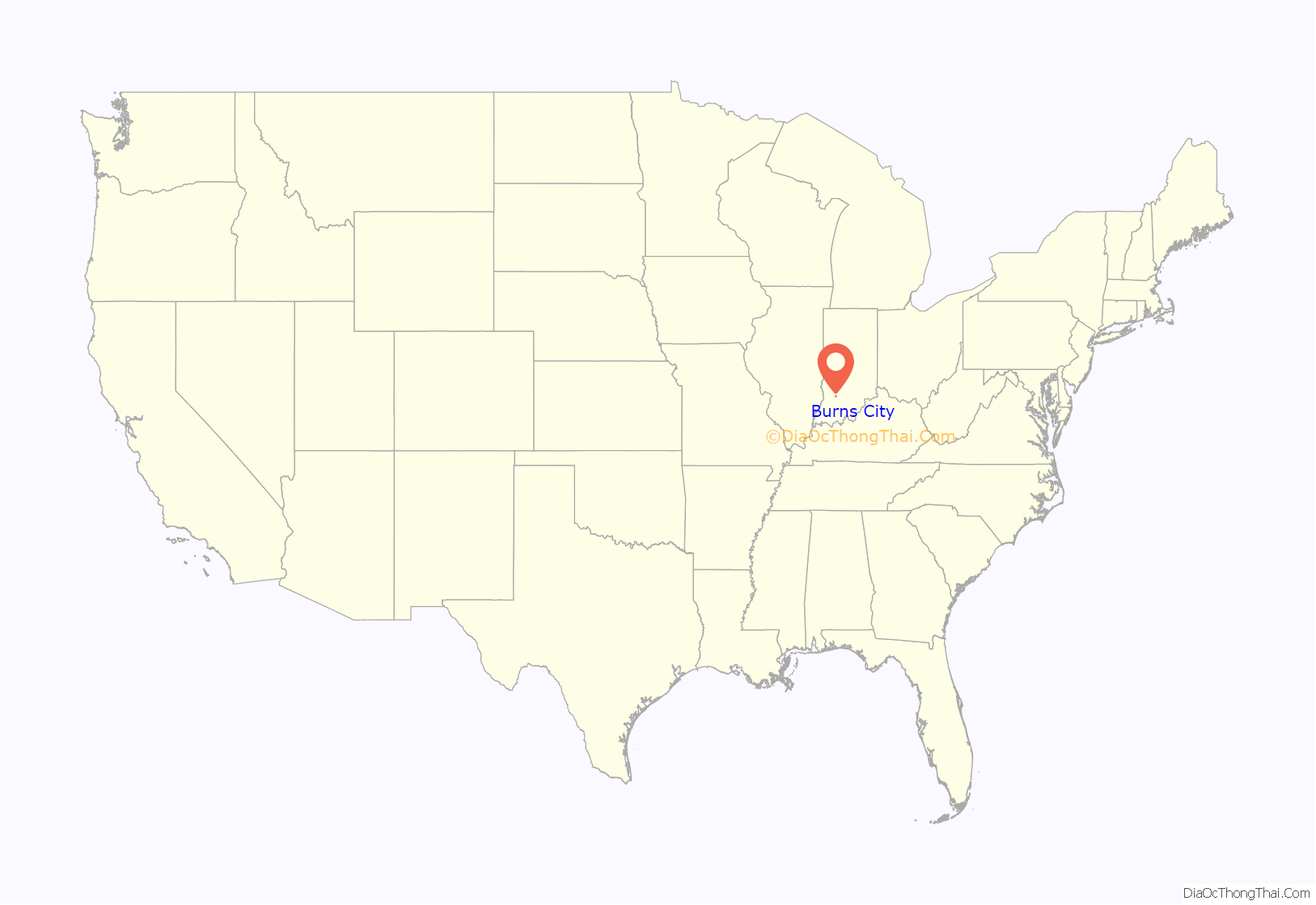
Burns City location map. Where is Burns City CDP?
History
The town was founded as “Keck’s Church” in 1849 by Christian Keck, an early settler. It became known as “Kecksville” circa 1852. The name was officially changed to Burns City on September 15, 1890. The present name was applied by a railroad engineer whose wife’s maiden name was Burns.
A post office was established under the name “Keck’s Church” in 1849, was renamed Burns City in 1890, and remained in operation until it was discontinued in 1957.
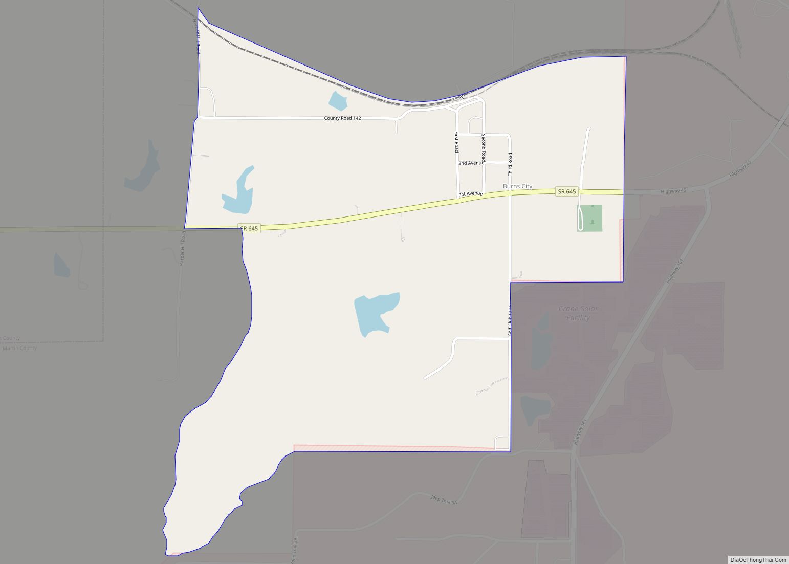
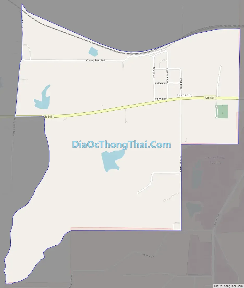
Burns City Road Map
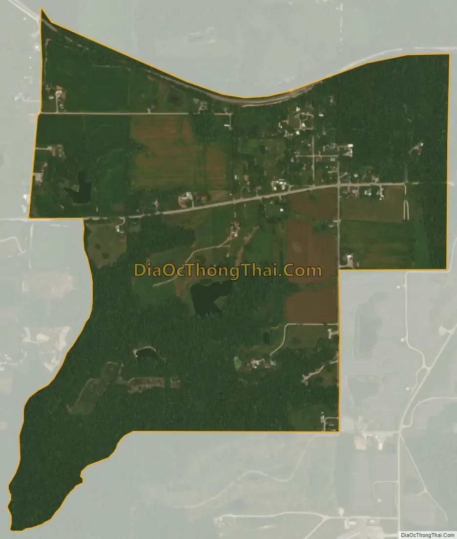
Burns City city Satellite Map
Geography
Burns City is bordered to the east by the Naval Surface Warfare Center Crane Division. Indiana State Road 645 has its eastern terminus in Burns City and leads west 1.7 miles (2.7 km) to U.S. Route 231 in Daviess County.
According to the U.S. Census Bureau, the Burns City CDP has a total area of 0.74 square miles (1.92 km), of which 0.005 square miles (0.013 km), or 0.68%, are water. The town sits on a ridge which drains north to a tributary of First Creek, which flows northwest to the White River near Newberry; and south to Seed Tick Creek, a tributary of Boggs Creek, which continues south to the East Fork of the White River east of Loogootee.
See also
Map of Indiana State and its subdivision:- Adams
- Allen
- Bartholomew
- Benton
- Blackford
- Boone
- Brown
- Carroll
- Cass
- Clark
- Clay
- Clinton
- Crawford
- Daviess
- De Kalb
- Dearborn
- Decatur
- Delaware
- Dubois
- Elkhart
- Fayette
- Floyd
- Fountain
- Franklin
- Fulton
- Gibson
- Grant
- Greene
- Hamilton
- Hancock
- Harrison
- Hendricks
- Henry
- Howard
- Huntington
- Jackson
- Jasper
- Jay
- Jefferson
- Jennings
- Johnson
- Knox
- Kosciusko
- LaGrange
- Lake
- Lake Michigan
- LaPorte
- Lawrence
- Madison
- Marion
- Marshall
- Martin
- Miami
- Monroe
- Montgomery
- Morgan
- Newton
- Noble
- Ohio
- Orange
- Owen
- Parke
- Perry
- Pike
- Porter
- Posey
- Pulaski
- Putnam
- Randolph
- Ripley
- Rush
- Saint Joseph
- Scott
- Shelby
- Spencer
- Starke
- Steuben
- Sullivan
- Switzerland
- Tippecanoe
- Tipton
- Union
- Vanderburgh
- Vermillion
- Vigo
- Wabash
- Warren
- Warrick
- Washington
- Wayne
- Wells
- White
- Whitley
- Alabama
- Alaska
- Arizona
- Arkansas
- California
- Colorado
- Connecticut
- Delaware
- District of Columbia
- Florida
- Georgia
- Hawaii
- Idaho
- Illinois
- Indiana
- Iowa
- Kansas
- Kentucky
- Louisiana
- Maine
- Maryland
- Massachusetts
- Michigan
- Minnesota
- Mississippi
- Missouri
- Montana
- Nebraska
- Nevada
- New Hampshire
- New Jersey
- New Mexico
- New York
- North Carolina
- North Dakota
- Ohio
- Oklahoma
- Oregon
- Pennsylvania
- Rhode Island
- South Carolina
- South Dakota
- Tennessee
- Texas
- Utah
- Vermont
- Virginia
- Washington
- West Virginia
- Wisconsin
- Wyoming