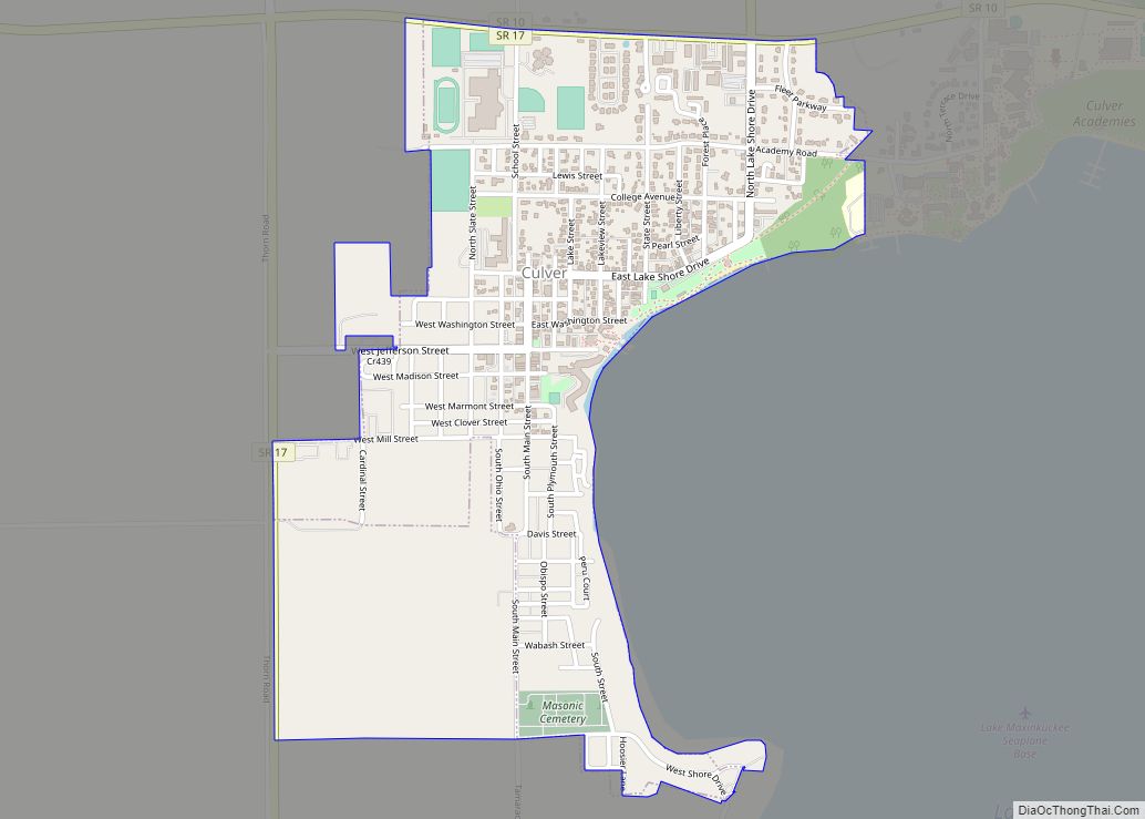
Culver is a town in Marshall County, Indiana, United States. Culver is part of Union Township, which also includes the communities of Burr Oak, Hibbard, Maxinkuckee and Rutland. The population of Culver was 1,129 at the 2020 United States Census.
| Name: | Culver town |
|---|---|
| LSAD Code: | 43 |
| LSAD Description: | town (suffix) |
| State: | Indiana |
| County: | Marshall County |
| Elevation: | 764 ft (233 m) |
| Total Area: | 1.16 sq mi (3.00 km²) |
| Land Area: | 1.16 sq mi (3.00 km²) |
| Water Area: | 0.00 sq mi (0.00 km²) |
| Total Population: | 1,129 |
| Population Density: | 974.96/sq mi (376.44/km²) |
| ZIP code: | 46511 |
| Area code: | 574 |
| FIPS code: | 1816300 |
| GNISfeature ID: | 0433239 |
| Website: | townofculver.org |
Online Interactive Map
Click on ![]() to view map in "full screen" mode.
to view map in "full screen" mode.
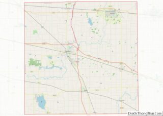
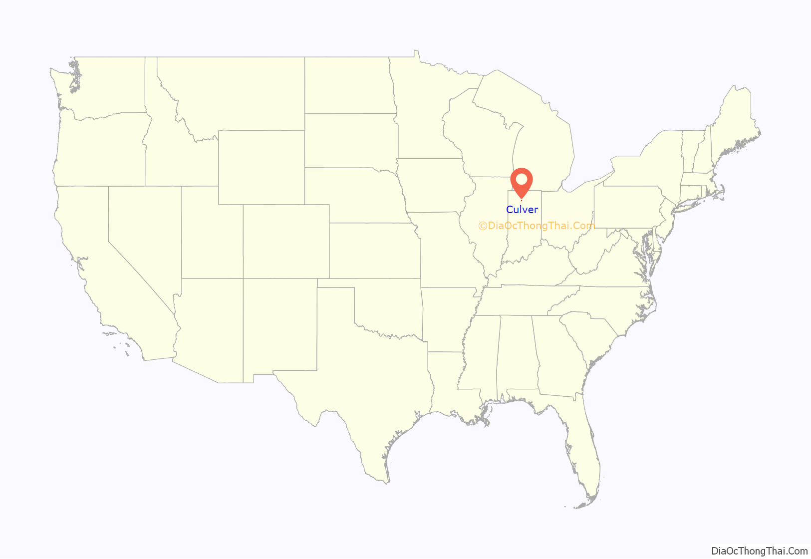
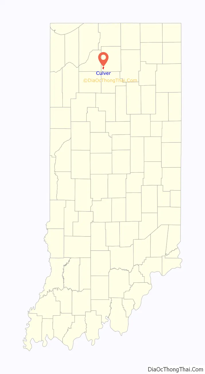
Culver location map. Where is Culver town?
History
Culver was originally called Union Town, and under the latter name was laid out in 1844. It was later renamed for Henry Harrison Culver, founding head of the Culver Military Academy.
The Culver Commercial Historic District and Forest Place Historic District are listed on the National Register of Historic Places. One of the buildings covered in the National Register is the post office, which contains a mural completed by Jessie Hull Mayer as part of the Section of Painting and Sculpture′s projects, later called the Section of Fine Arts, of the Treasury Department. Arrival of the Mail in Culver was completed in 1938 and featured students from the military academy and other residents looking at their mail.
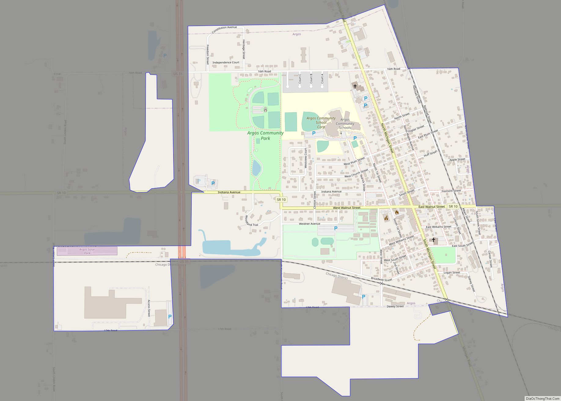
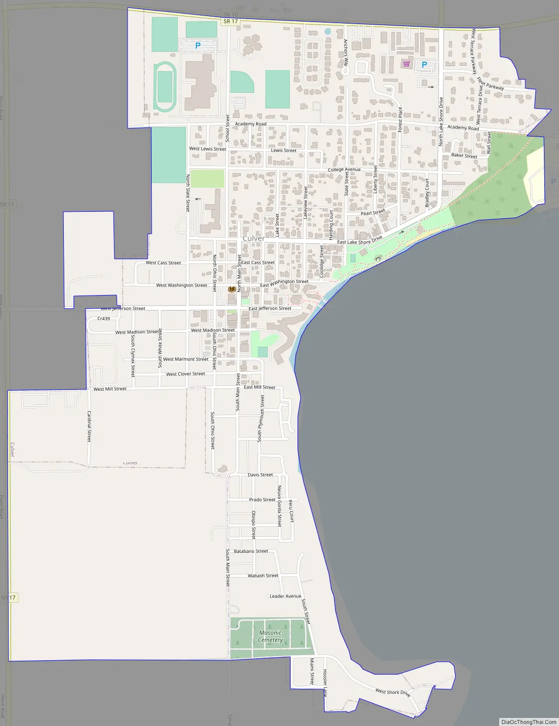
Culver Road Map
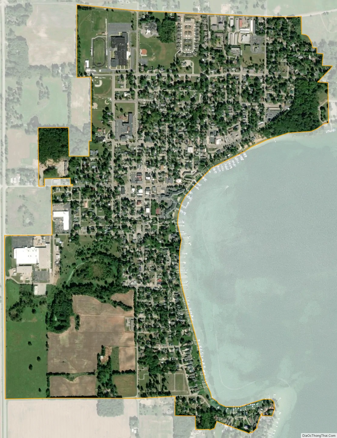
Culver city Satellite Map
Geography
Culver is located at 41°13′2″N 86°25′18″W / 41.21722°N 86.42167°W / 41.21722; -86.42167 (41.217340, -86.421726).
According to the 2010 census, Culver has a total area of 0.9 square miles (2.33 km), all land.
See also
Map of Indiana State and its subdivision:- Adams
- Allen
- Bartholomew
- Benton
- Blackford
- Boone
- Brown
- Carroll
- Cass
- Clark
- Clay
- Clinton
- Crawford
- Daviess
- De Kalb
- Dearborn
- Decatur
- Delaware
- Dubois
- Elkhart
- Fayette
- Floyd
- Fountain
- Franklin
- Fulton
- Gibson
- Grant
- Greene
- Hamilton
- Hancock
- Harrison
- Hendricks
- Henry
- Howard
- Huntington
- Jackson
- Jasper
- Jay
- Jefferson
- Jennings
- Johnson
- Knox
- Kosciusko
- LaGrange
- Lake
- Lake Michigan
- LaPorte
- Lawrence
- Madison
- Marion
- Marshall
- Martin
- Miami
- Monroe
- Montgomery
- Morgan
- Newton
- Noble
- Ohio
- Orange
- Owen
- Parke
- Perry
- Pike
- Porter
- Posey
- Pulaski
- Putnam
- Randolph
- Ripley
- Rush
- Saint Joseph
- Scott
- Shelby
- Spencer
- Starke
- Steuben
- Sullivan
- Switzerland
- Tippecanoe
- Tipton
- Union
- Vanderburgh
- Vermillion
- Vigo
- Wabash
- Warren
- Warrick
- Washington
- Wayne
- Wells
- White
- Whitley
- Alabama
- Alaska
- Arizona
- Arkansas
- California
- Colorado
- Connecticut
- Delaware
- District of Columbia
- Florida
- Georgia
- Hawaii
- Idaho
- Illinois
- Indiana
- Iowa
- Kansas
- Kentucky
- Louisiana
- Maine
- Maryland
- Massachusetts
- Michigan
- Minnesota
- Mississippi
- Missouri
- Montana
- Nebraska
- Nevada
- New Hampshire
- New Jersey
- New Mexico
- New York
- North Carolina
- North Dakota
- Ohio
- Oklahoma
- Oregon
- Pennsylvania
- Rhode Island
- South Carolina
- South Dakota
- Tennessee
- Texas
- Utah
- Vermont
- Virginia
- Washington
- West Virginia
- Wisconsin
- Wyoming