Dover Hill is an unincorporated community and census-designated place (CDP) in Center Township, Martin County, in the U.S. state of Indiana. As of the 2020 census, it had a population of 96.
| Name: | Dover Hill CDP |
|---|---|
| LSAD Code: | 57 |
| LSAD Description: | CDP (suffix) |
| State: | Indiana |
| County: | Martin County |
| Elevation: | 623 ft (190 m) |
| Total Area: | 0.78 sq mi (2.01 km²) |
| Land Area: | 0.78 sq mi (2.01 km²) |
| Water Area: | 0.00 sq mi (0.00 km²) |
| Total Population: | 96 |
| Population Density: | 123.71/sq mi (47.76/km²) |
| ZIP code: | 47581 (Shoals) |
| Area code: | 812, 930 |
| FIPS code: | 1818550 |
| GNISfeature ID: | 2583449 |
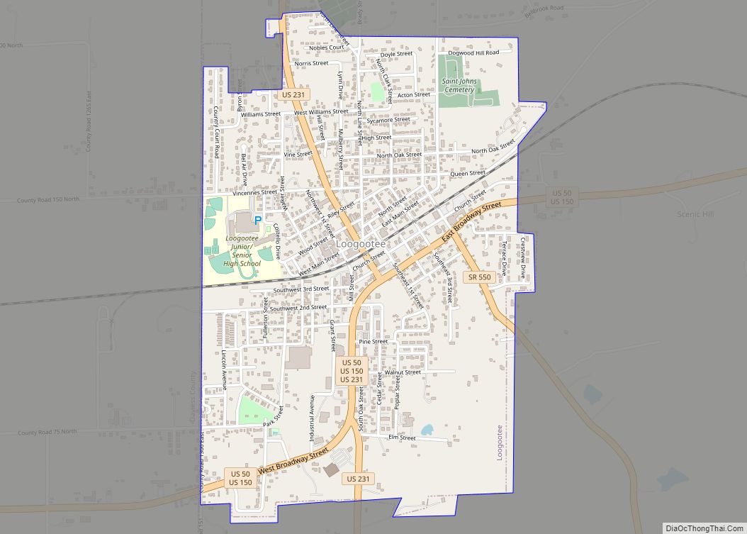
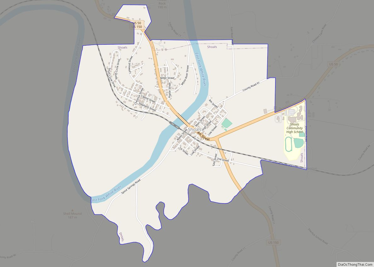
Online Interactive Map
Click on ![]() to view map in "full screen" mode.
to view map in "full screen" mode.
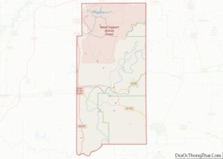
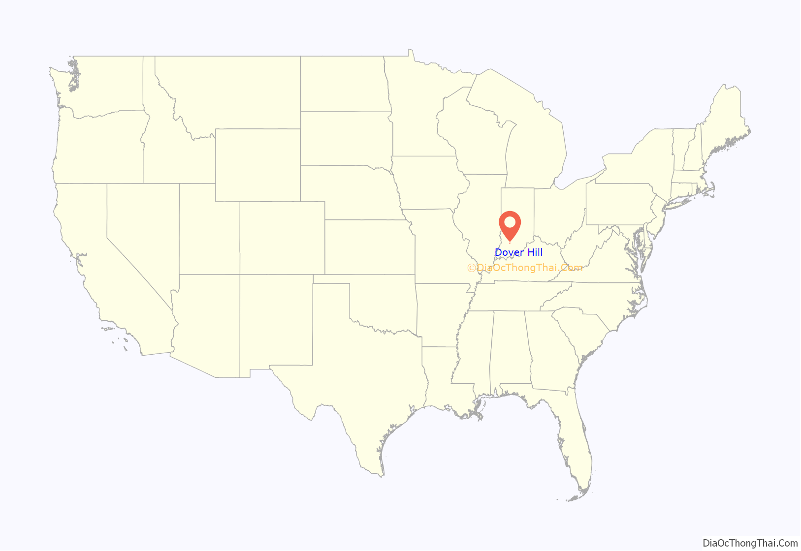
Dover Hill location map. Where is Dover Hill CDP?
History
A post office was established at Dover Hill in 1846 and remained in operation until 1906. The community was likely named after Dover in England.
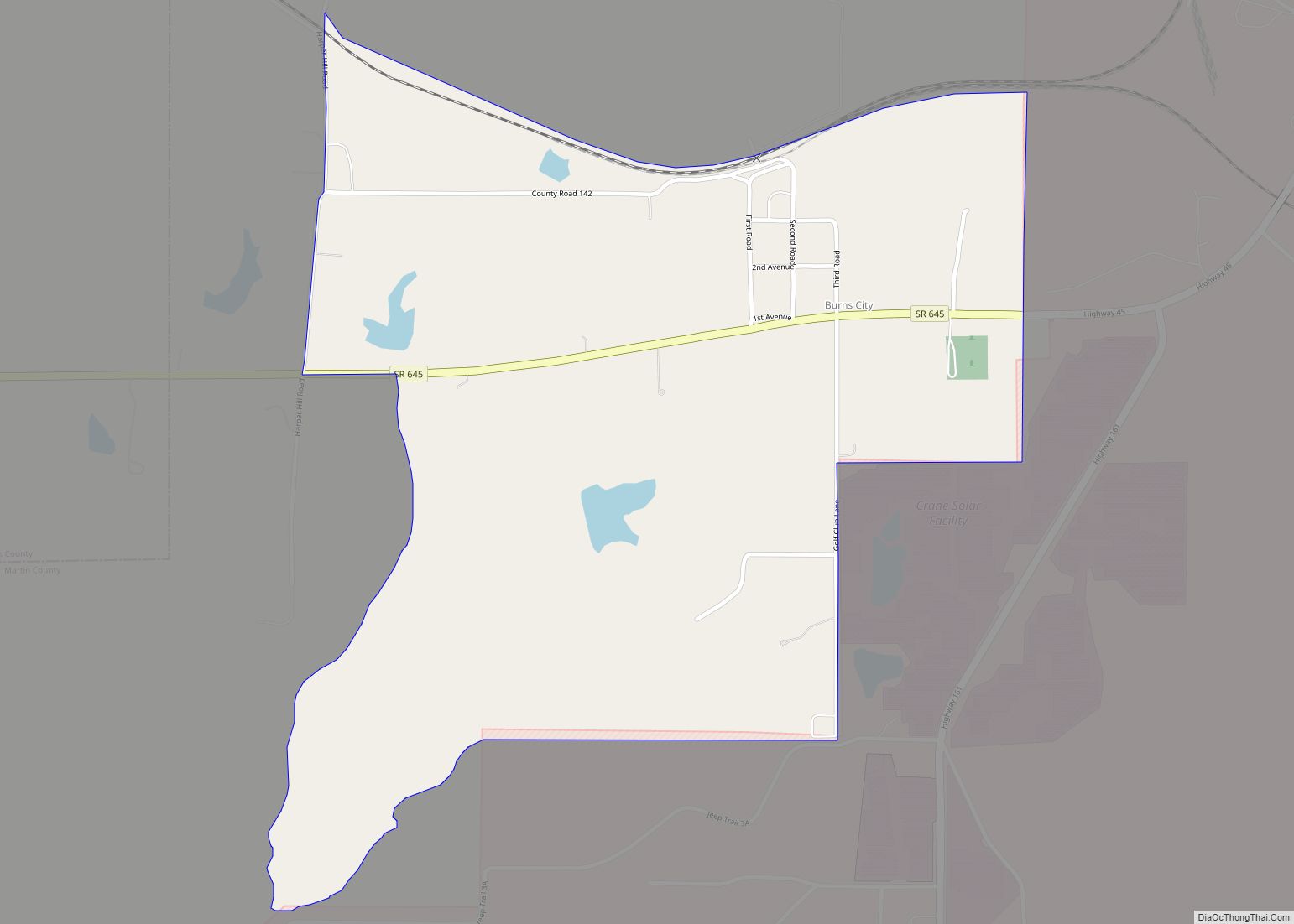
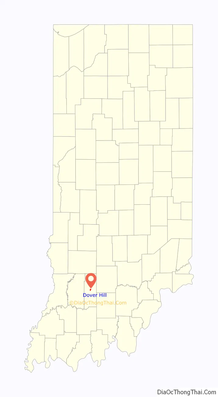
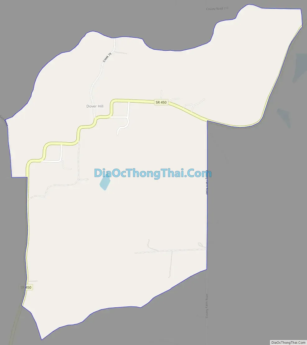
Dover Hill Road Map
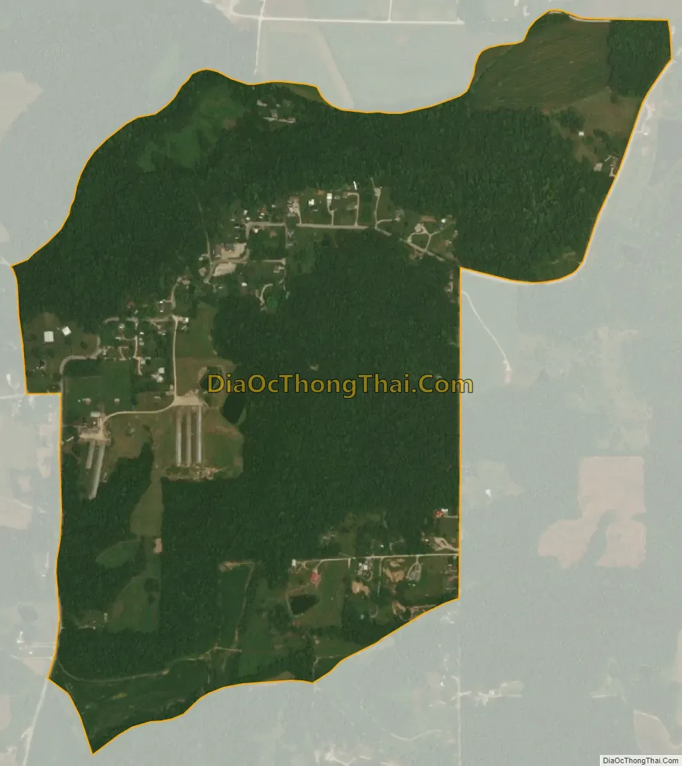
Dover Hill city Satellite Map
Geography
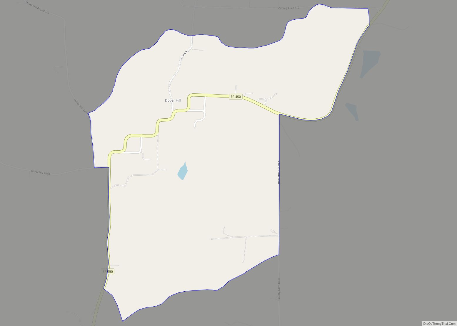
Dover Hill is located in central Martin County with Indiana Highway 450 running through the town. The highway leads south 4 miles (6 km) to Shoals, the county seat, and northeast 23 miles (37 km) to Bedford. The town sits atop a narrow ridge that drains north to Dover Run and Pass Creek, and south to Branch Run and Beech Creek. Both creeks are tributaries of the East Fork of the White River, which passes 1 mile (1.6 km) east of the town.
According to the U.S. Census Bureau, the Dover Hill CDP has a total area of 0.78 square miles (2.02 km), of which 0.001 square miles (0.00 km), or 0.13%, are water.
See also
Map of Indiana State and its subdivision:- Adams
- Allen
- Bartholomew
- Benton
- Blackford
- Boone
- Brown
- Carroll
- Cass
- Clark
- Clay
- Clinton
- Crawford
- Daviess
- De Kalb
- Dearborn
- Decatur
- Delaware
- Dubois
- Elkhart
- Fayette
- Floyd
- Fountain
- Franklin
- Fulton
- Gibson
- Grant
- Greene
- Hamilton
- Hancock
- Harrison
- Hendricks
- Henry
- Howard
- Huntington
- Jackson
- Jasper
- Jay
- Jefferson
- Jennings
- Johnson
- Knox
- Kosciusko
- LaGrange
- Lake
- Lake Michigan
- LaPorte
- Lawrence
- Madison
- Marion
- Marshall
- Martin
- Miami
- Monroe
- Montgomery
- Morgan
- Newton
- Noble
- Ohio
- Orange
- Owen
- Parke
- Perry
- Pike
- Porter
- Posey
- Pulaski
- Putnam
- Randolph
- Ripley
- Rush
- Saint Joseph
- Scott
- Shelby
- Spencer
- Starke
- Steuben
- Sullivan
- Switzerland
- Tippecanoe
- Tipton
- Union
- Vanderburgh
- Vermillion
- Vigo
- Wabash
- Warren
- Warrick
- Washington
- Wayne
- Wells
- White
- Whitley
- Alabama
- Alaska
- Arizona
- Arkansas
- California
- Colorado
- Connecticut
- Delaware
- District of Columbia
- Florida
- Georgia
- Hawaii
- Idaho
- Illinois
- Indiana
- Iowa
- Kansas
- Kentucky
- Louisiana
- Maine
- Maryland
- Massachusetts
- Michigan
- Minnesota
- Mississippi
- Missouri
- Montana
- Nebraska
- Nevada
- New Hampshire
- New Jersey
- New Mexico
- New York
- North Carolina
- North Dakota
- Ohio
- Oklahoma
- Oregon
- Pennsylvania
- Rhode Island
- South Carolina
- South Dakota
- Tennessee
- Texas
- Utah
- Vermont
- Virginia
- Washington
- West Virginia
- Wisconsin
- Wyoming