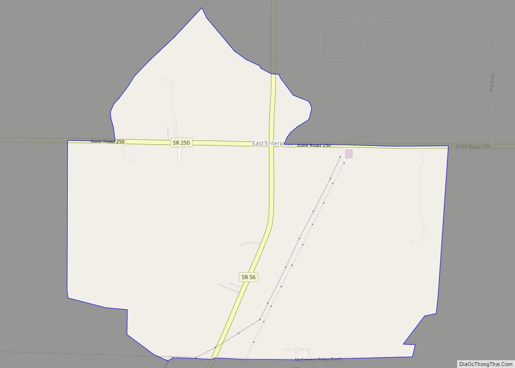
East Enterprise is an unincorporated census-designated place in central Cotton Township, Switzerland County, in the U.S. state of Indiana. Although East Enterprise is unincorporated, it has a post office, with the ZIP code of 47019.
| Name: | East Enterprise CDP |
|---|---|
| LSAD Code: | 57 |
| LSAD Description: | CDP (suffix) |
| State: | Indiana |
| County: | Switzerland County |
| Elevation: | 879 ft (268 m) |
| Total Area: | 0.52 sq mi (1.34 km²) |
| Land Area: | 0.52 sq mi (1.34 km²) |
| Water Area: | 0.00 sq mi (0.00 km²) |
| Total Population: | 145 |
| Population Density: | 279.38/sq mi (107.89/km²) |
| ZIP code: | 47019 |
| Area code: | 812, 930 |
| FIPS code: | 1819576 |
| GNISfeature ID: | 433879 |
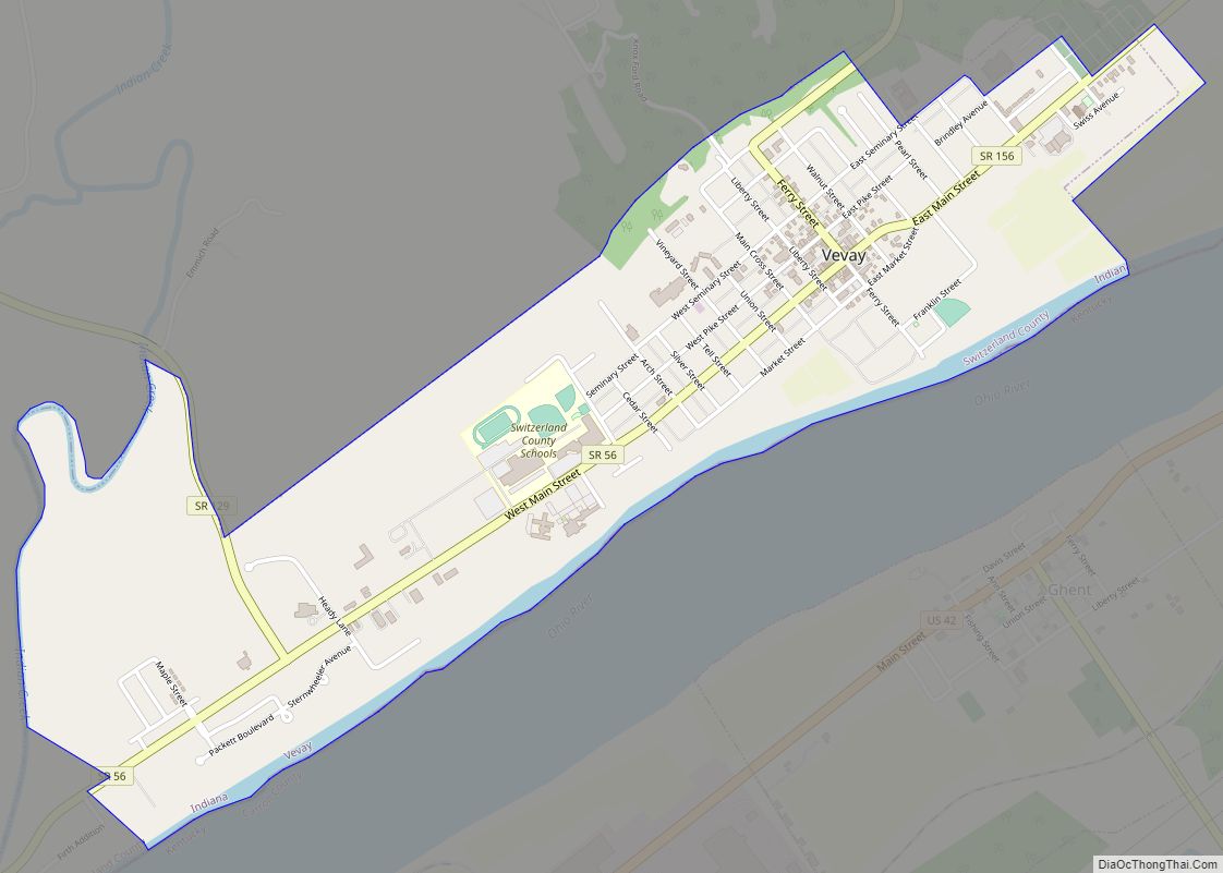
Online Interactive Map
Click on ![]() to view map in "full screen" mode.
to view map in "full screen" mode.
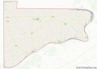
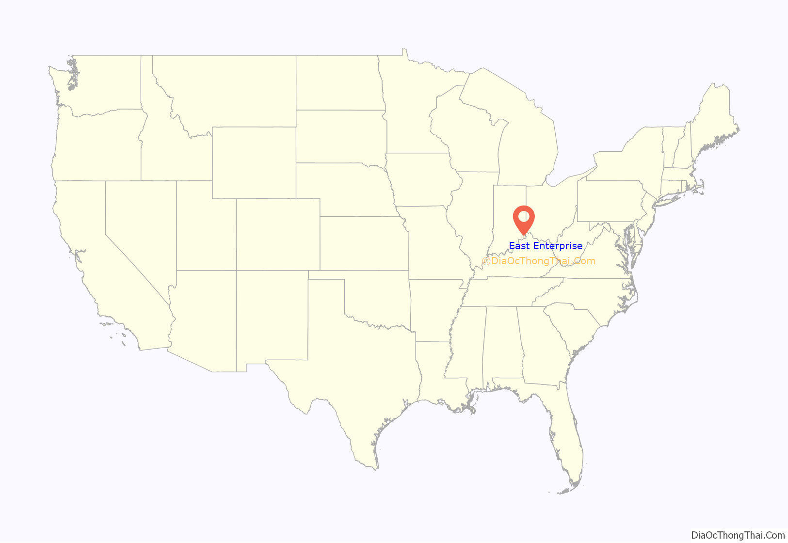
East Enterprise location map. Where is East Enterprise CDP?
History
The post office at East Enterprise has been in operation since 1864, which established the current name of the community. Old variant names of the community include Allensville and Clapboard Corner.
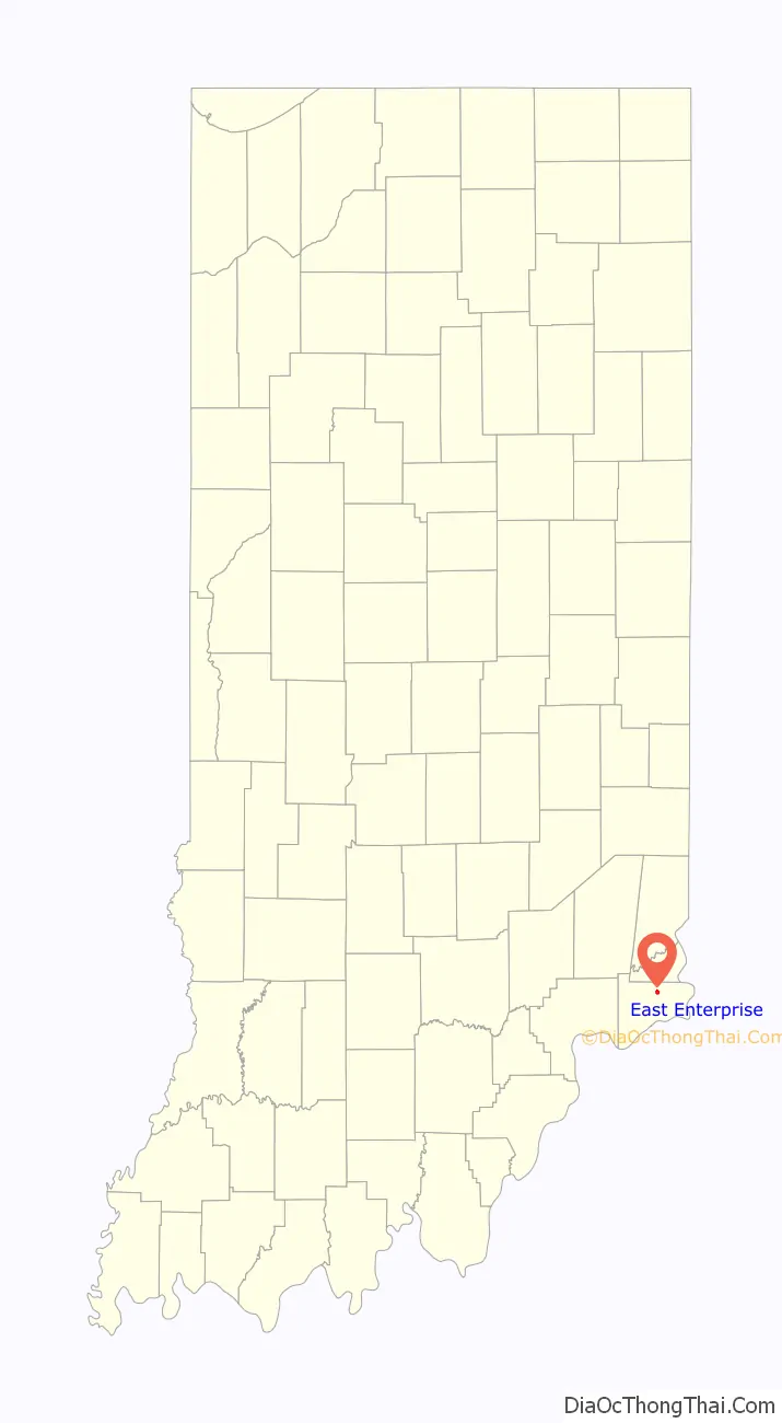
East Enterprise Road Map
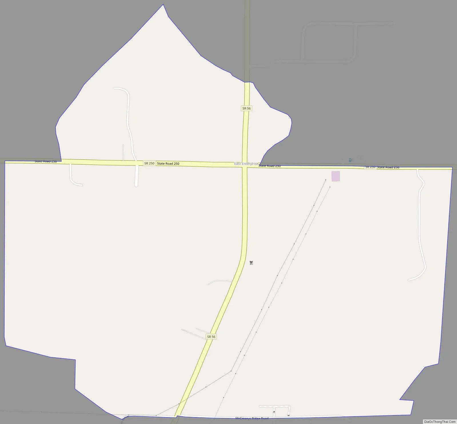
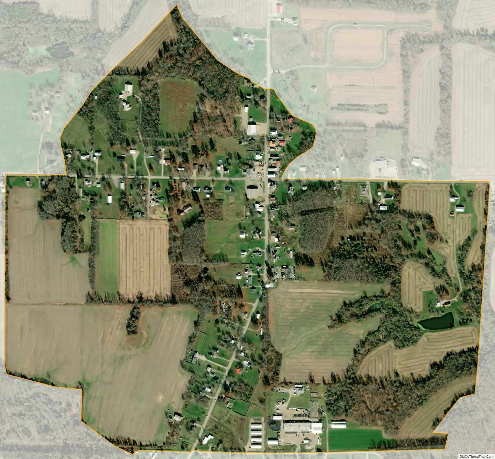
East Enterprise city Satellite Map
Geography
The community lies at the intersection of State Roads 56 and 250 northeast of the town of Vevay, the county seat of Switzerland County. Its elevation is 883 feet (269 m), and it is located at 38°52′22″N 84°59′17″W / 38.87278°N 84.98806°W / 38.87278; -84.98806 (38.8728383, -84.9880062).
See also
Map of Indiana State and its subdivision:- Adams
- Allen
- Bartholomew
- Benton
- Blackford
- Boone
- Brown
- Carroll
- Cass
- Clark
- Clay
- Clinton
- Crawford
- Daviess
- De Kalb
- Dearborn
- Decatur
- Delaware
- Dubois
- Elkhart
- Fayette
- Floyd
- Fountain
- Franklin
- Fulton
- Gibson
- Grant
- Greene
- Hamilton
- Hancock
- Harrison
- Hendricks
- Henry
- Howard
- Huntington
- Jackson
- Jasper
- Jay
- Jefferson
- Jennings
- Johnson
- Knox
- Kosciusko
- LaGrange
- Lake
- Lake Michigan
- LaPorte
- Lawrence
- Madison
- Marion
- Marshall
- Martin
- Miami
- Monroe
- Montgomery
- Morgan
- Newton
- Noble
- Ohio
- Orange
- Owen
- Parke
- Perry
- Pike
- Porter
- Posey
- Pulaski
- Putnam
- Randolph
- Ripley
- Rush
- Saint Joseph
- Scott
- Shelby
- Spencer
- Starke
- Steuben
- Sullivan
- Switzerland
- Tippecanoe
- Tipton
- Union
- Vanderburgh
- Vermillion
- Vigo
- Wabash
- Warren
- Warrick
- Washington
- Wayne
- Wells
- White
- Whitley
- Alabama
- Alaska
- Arizona
- Arkansas
- California
- Colorado
- Connecticut
- Delaware
- District of Columbia
- Florida
- Georgia
- Hawaii
- Idaho
- Illinois
- Indiana
- Iowa
- Kansas
- Kentucky
- Louisiana
- Maine
- Maryland
- Massachusetts
- Michigan
- Minnesota
- Mississippi
- Missouri
- Montana
- Nebraska
- Nevada
- New Hampshire
- New Jersey
- New Mexico
- New York
- North Carolina
- North Dakota
- Ohio
- Oklahoma
- Oregon
- Pennsylvania
- Rhode Island
- South Carolina
- South Dakota
- Tennessee
- Texas
- Utah
- Vermont
- Virginia
- Washington
- West Virginia
- Wisconsin
- Wyoming