Emison is an unincorporated community and census-designated place (CDP) in Busseron Township, Knox County, Indiana. Its population was 154 at the 2010 census.
| Name: | Emison CDP |
|---|---|
| LSAD Code: | 57 |
| LSAD Description: | CDP (suffix) |
| State: | Indiana |
| County: | Knox County |
| Elevation: | 463 ft (141 m) |
| Total Area: | 1.58 sq mi (4.09 km²) |
| Land Area: | 1.57 sq mi (4.07 km²) |
| Water Area: | 0.01 sq mi (0.02 km²) |
| Total Population: | 145 |
| Population Density: | 92.36/sq mi (35.66/km²) |
| ZIP code: | 47561 |
| Area code: | 812 |
| FIPS code: | 1821124 |
| GNISfeature ID: | 434167 |
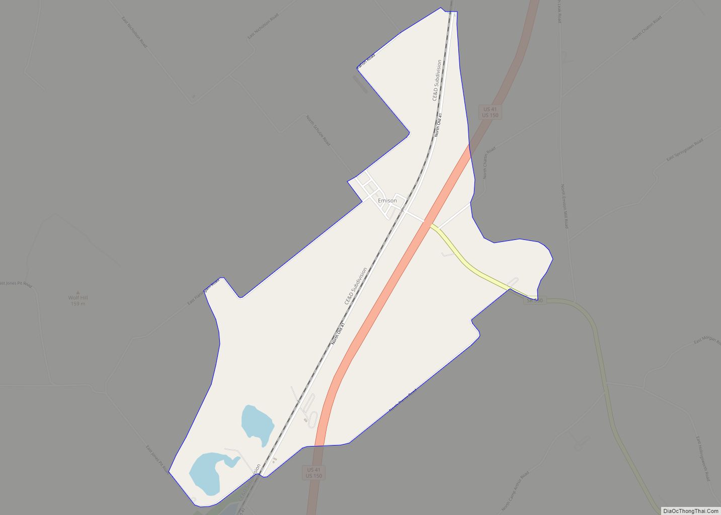
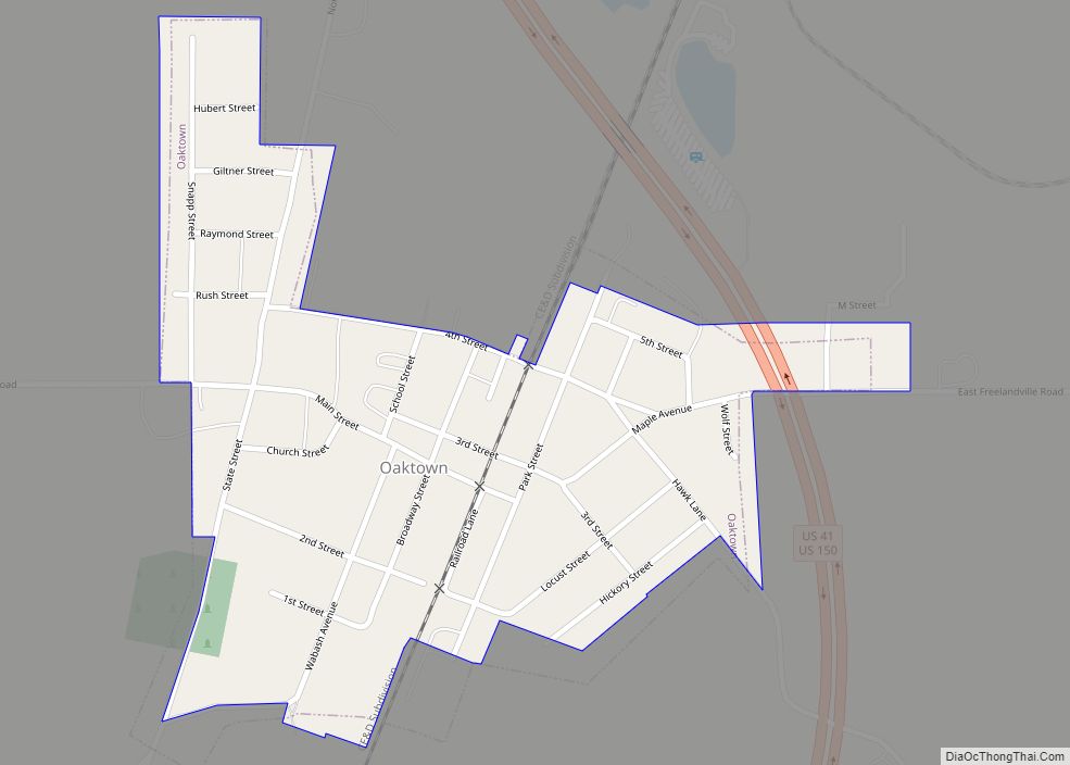
Online Interactive Map
Click on ![]() to view map in "full screen" mode.
to view map in "full screen" mode.
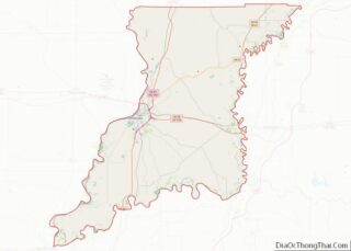
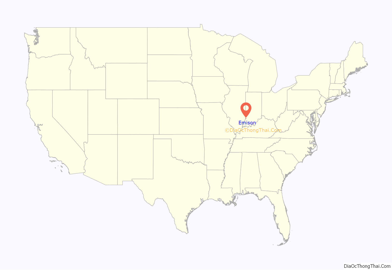
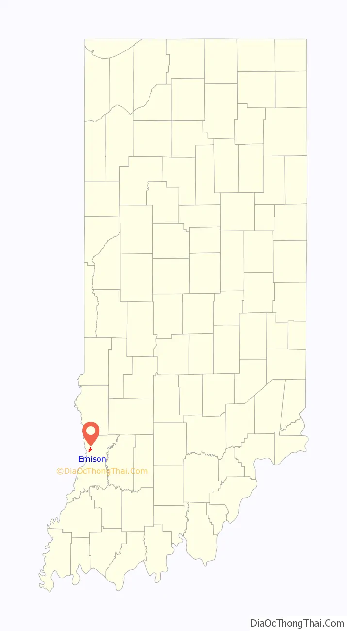
Emison location map. Where is Emison CDP?
History
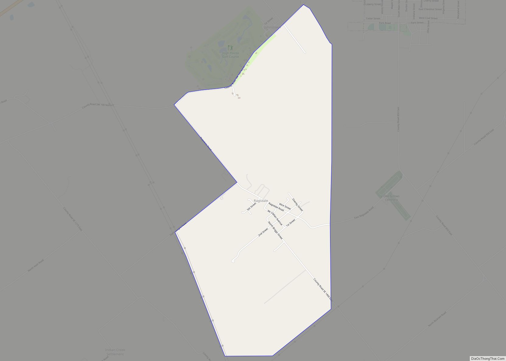
Emison was laid out in 1867 for Samuel A. Emison. The Emison post office was discontinued in 1994.
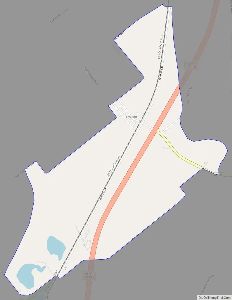
Emison Road Map
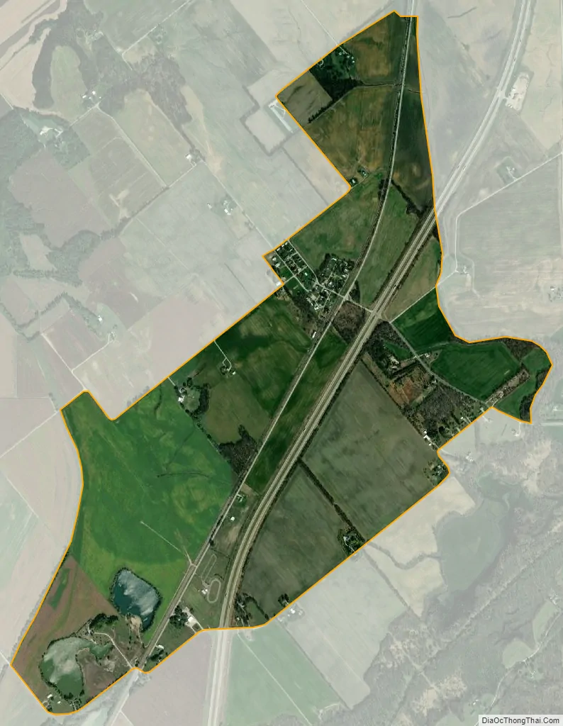
Emison city Satellite Map
Geography
Emison is located in northwestern Knox County at 38°48′18″N 87°27′29″W / 38.80500°N 87.45806°W / 38.80500; -87.45806. U.S. Routes 41 and 150, a four-lane highway, passes through the east side of the community, leading south 10 miles (16 km) to Vincennes, the county seat, and north 48 miles (77 km) to Terre Haute. Indiana State Road 550 leads southeast from Emison 4 miles (6 km) to Bruceville.
According to the U.S. Census Bureau, the Emison CDP has a total area of 1.6 square miles (4.1 km), of which 0.01 square miles (0.02 km), or 0.58%, are water.
See also
Map of Indiana State and its subdivision:- Adams
- Allen
- Bartholomew
- Benton
- Blackford
- Boone
- Brown
- Carroll
- Cass
- Clark
- Clay
- Clinton
- Crawford
- Daviess
- De Kalb
- Dearborn
- Decatur
- Delaware
- Dubois
- Elkhart
- Fayette
- Floyd
- Fountain
- Franklin
- Fulton
- Gibson
- Grant
- Greene
- Hamilton
- Hancock
- Harrison
- Hendricks
- Henry
- Howard
- Huntington
- Jackson
- Jasper
- Jay
- Jefferson
- Jennings
- Johnson
- Knox
- Kosciusko
- LaGrange
- Lake
- Lake Michigan
- LaPorte
- Lawrence
- Madison
- Marion
- Marshall
- Martin
- Miami
- Monroe
- Montgomery
- Morgan
- Newton
- Noble
- Ohio
- Orange
- Owen
- Parke
- Perry
- Pike
- Porter
- Posey
- Pulaski
- Putnam
- Randolph
- Ripley
- Rush
- Saint Joseph
- Scott
- Shelby
- Spencer
- Starke
- Steuben
- Sullivan
- Switzerland
- Tippecanoe
- Tipton
- Union
- Vanderburgh
- Vermillion
- Vigo
- Wabash
- Warren
- Warrick
- Washington
- Wayne
- Wells
- White
- Whitley
- Alabama
- Alaska
- Arizona
- Arkansas
- California
- Colorado
- Connecticut
- Delaware
- District of Columbia
- Florida
- Georgia
- Hawaii
- Idaho
- Illinois
- Indiana
- Iowa
- Kansas
- Kentucky
- Louisiana
- Maine
- Maryland
- Massachusetts
- Michigan
- Minnesota
- Mississippi
- Missouri
- Montana
- Nebraska
- Nevada
- New Hampshire
- New Jersey
- New Mexico
- New York
- North Carolina
- North Dakota
- Ohio
- Oklahoma
- Oregon
- Pennsylvania
- Rhode Island
- South Carolina
- South Dakota
- Tennessee
- Texas
- Utah
- Vermont
- Virginia
- Washington
- West Virginia
- Wisconsin
- Wyoming