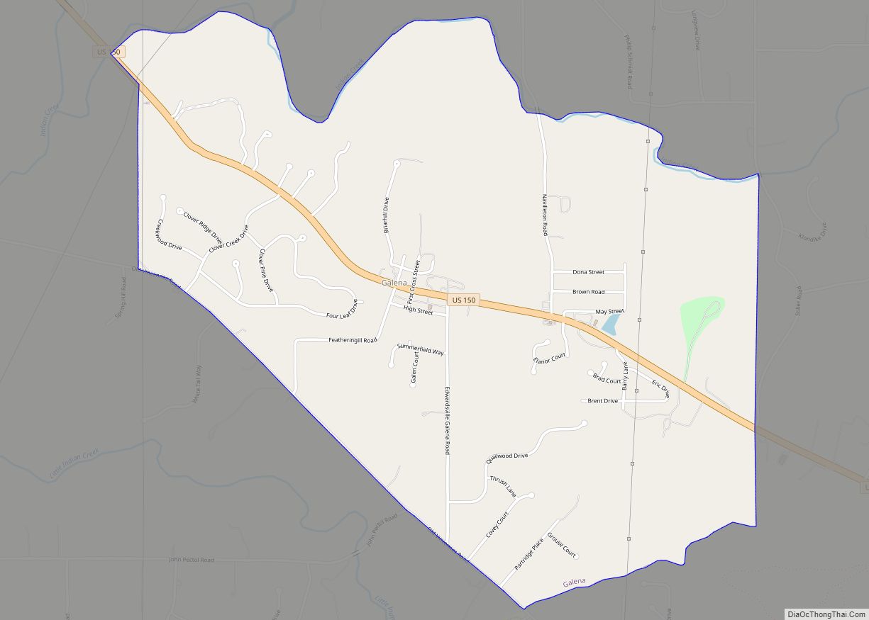
Galena is a census-designated place (CDP) in Floyd County, Indiana, United States. The population was 1,818 at the 2010 census. The CDP includes the town of Galena as well as the nearby town of Floyds Knobs and their immediate surroundings.
| Name: | Galena CDP |
|---|---|
| LSAD Code: | 57 |
| LSAD Description: | CDP (suffix) |
| State: | Indiana |
| County: | Floyd County |
| Elevation: | 814 ft (248 m) |
| Total Area: | 2.68 sq mi (6.94 km²) |
| Land Area: | 2.67 sq mi (6.92 km²) |
| Water Area: | 0.01 sq mi (0.02 km²) |
| Total Population: | 1,726 |
| Population Density: | 646.20/sq mi (249.49/km²) |
| ZIP code: | 47119 |
| Area code: | 812 & 930 |
| FIPS code: | 1826206 |
| GNISfeature ID: | 0434921 |
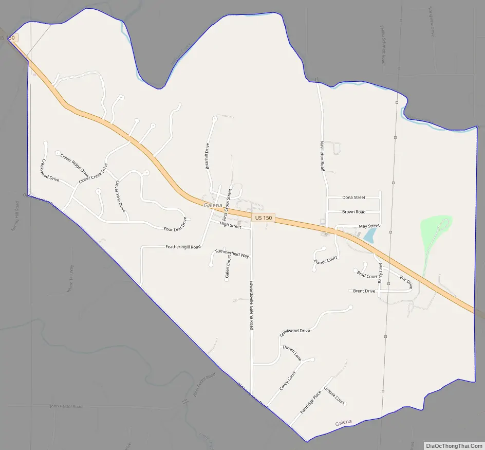
Online Interactive Map
Click on ![]() to view map in "full screen" mode.
to view map in "full screen" mode.
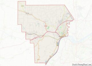
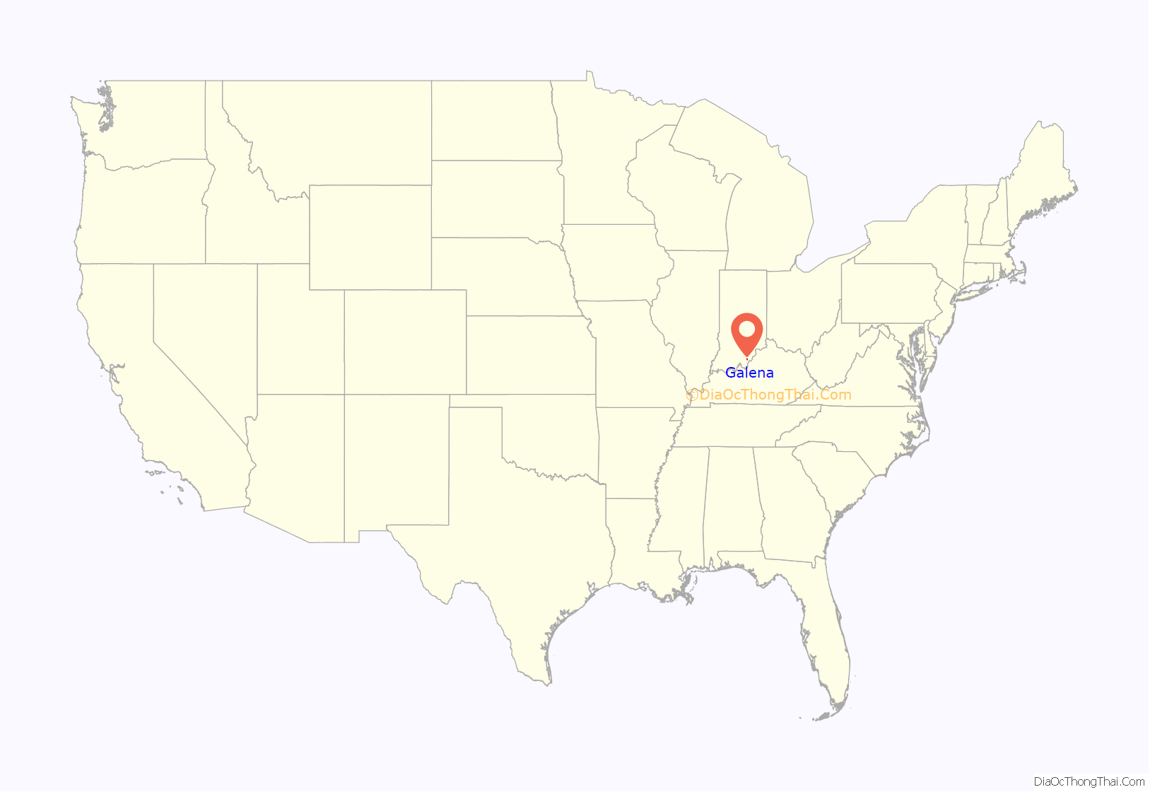
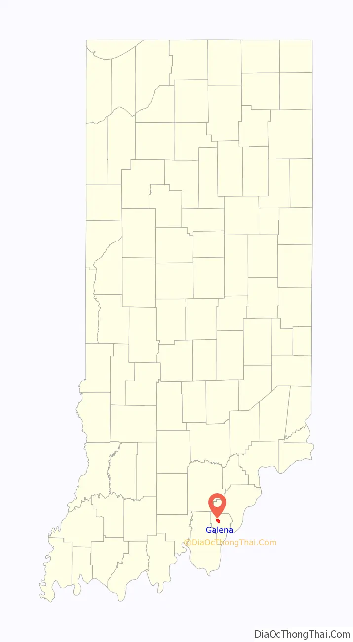
Galena location map. Where is Galena CDP?
History
Galena was originally called Germantown, and under the latter name was platted in 1837. A post office was established as Galena in 1843, and remained in operation until it was discontinued in 1933.
Galena Road Map
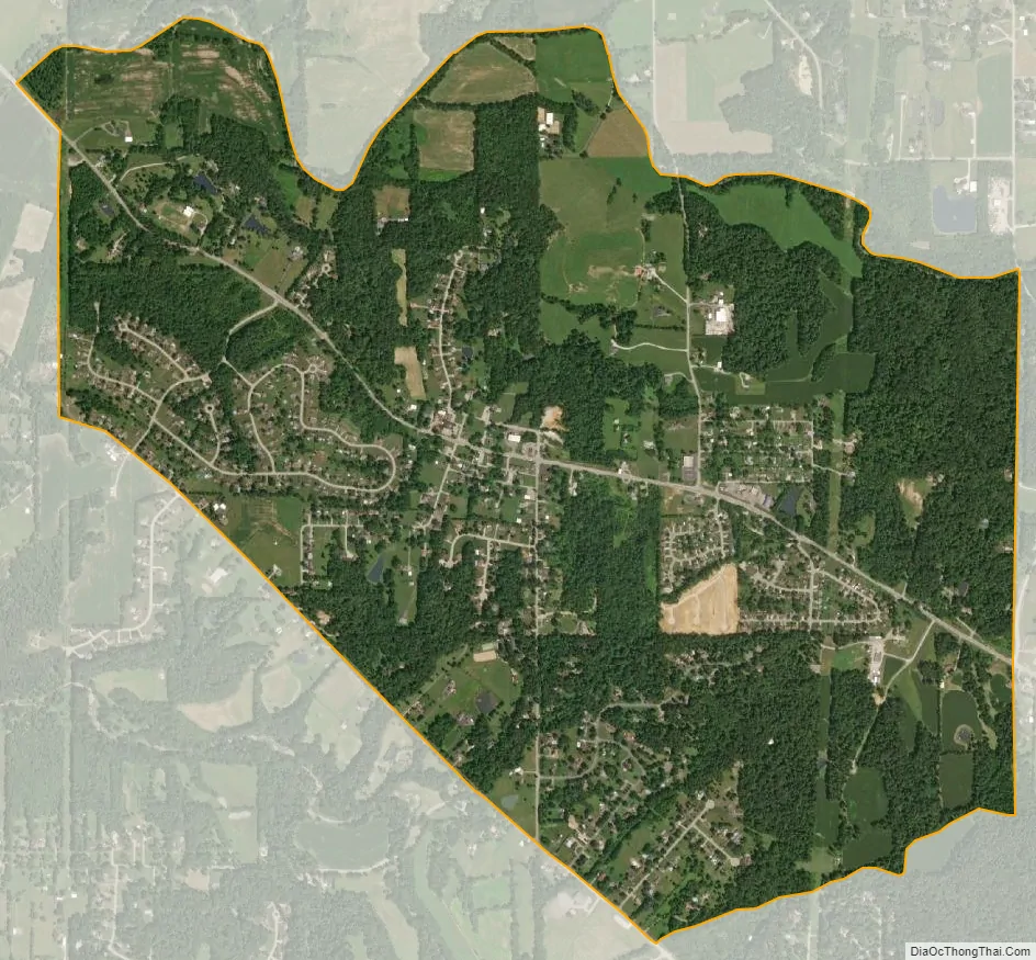
Galena city Satellite Map
Geography
Galena is located at 38°21′2″N 85°56′26″W / 38.35056°N 85.94056°W / 38.35056; -85.94056 (38.350585, -85.940435).
According to the United States Census Bureau, the CDP has a total area of 2.68 square miles (6.94 km), of which 2.67 square miles (6.92 km) is land and 0.01 square miles (0.03 km) is water.
See also
Map of Indiana State and its subdivision:- Adams
- Allen
- Bartholomew
- Benton
- Blackford
- Boone
- Brown
- Carroll
- Cass
- Clark
- Clay
- Clinton
- Crawford
- Daviess
- De Kalb
- Dearborn
- Decatur
- Delaware
- Dubois
- Elkhart
- Fayette
- Floyd
- Fountain
- Franklin
- Fulton
- Gibson
- Grant
- Greene
- Hamilton
- Hancock
- Harrison
- Hendricks
- Henry
- Howard
- Huntington
- Jackson
- Jasper
- Jay
- Jefferson
- Jennings
- Johnson
- Knox
- Kosciusko
- LaGrange
- Lake
- Lake Michigan
- LaPorte
- Lawrence
- Madison
- Marion
- Marshall
- Martin
- Miami
- Monroe
- Montgomery
- Morgan
- Newton
- Noble
- Ohio
- Orange
- Owen
- Parke
- Perry
- Pike
- Porter
- Posey
- Pulaski
- Putnam
- Randolph
- Ripley
- Rush
- Saint Joseph
- Scott
- Shelby
- Spencer
- Starke
- Steuben
- Sullivan
- Switzerland
- Tippecanoe
- Tipton
- Union
- Vanderburgh
- Vermillion
- Vigo
- Wabash
- Warren
- Warrick
- Washington
- Wayne
- Wells
- White
- Whitley
- Alabama
- Alaska
- Arizona
- Arkansas
- California
- Colorado
- Connecticut
- Delaware
- District of Columbia
- Florida
- Georgia
- Hawaii
- Idaho
- Illinois
- Indiana
- Iowa
- Kansas
- Kentucky
- Louisiana
- Maine
- Maryland
- Massachusetts
- Michigan
- Minnesota
- Mississippi
- Missouri
- Montana
- Nebraska
- Nevada
- New Hampshire
- New Jersey
- New Mexico
- New York
- North Carolina
- North Dakota
- Ohio
- Oklahoma
- Oregon
- Pennsylvania
- Rhode Island
- South Carolina
- South Dakota
- Tennessee
- Texas
- Utah
- Vermont
- Virginia
- Washington
- West Virginia
- Wisconsin
- Wyoming