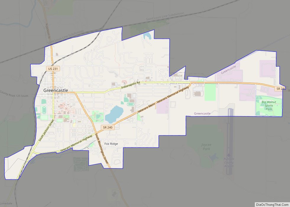
Greencastle is a city in Greencastle Township, Putnam County, Indiana, United States, and the county seat of Putnam County. It was founded in 1821 by Ephraim Dukes on a land grant. He named the settlement for his hometown of Greencastle, Pennsylvania. Greencastle was a village or town operating under authority of the Putnam County commissioners until March 9, 1849, when it became a town by special act of the local legislature. Greencastle, Indiana, officially became a city after an election held on July 8, 1861. The first mayor of Greencastle was E. R. Kercheval, a member of the Freemason Temple Lodge #47. The city became the county seat of Putnam County. The population was 10,326 at the 2010 census. It is located near Interstate 70 approximately halfway between Terre Haute and Indianapolis in the west-central portion of the state. Greencastle is well known as being the location of DePauw University.
| Name: | Greencastle city |
|---|---|
| LSAD Code: | 25 |
| LSAD Description: | city (suffix) |
| State: | Indiana |
| County: | Putnam County |
| Elevation: | 843 ft (257 m) |
| Total Area: | 5.26 sq mi (13.63 km²) |
| Land Area: | 5.21 sq mi (13.50 km²) |
| Water Area: | 0.05 sq mi (0.13 km²) |
| Total Population: | 9,820 |
| Population Density: | 1,884.11/sq mi (727.40/km²) |
| ZIP code: | 46135 |
| Area code: | 765 |
| FIPS code: | 1829358 |
| GNISfeature ID: | 435428 |
| Website: | http://www.cityofgreencastle.com |
Online Interactive Map
Click on ![]() to view map in "full screen" mode.
to view map in "full screen" mode.
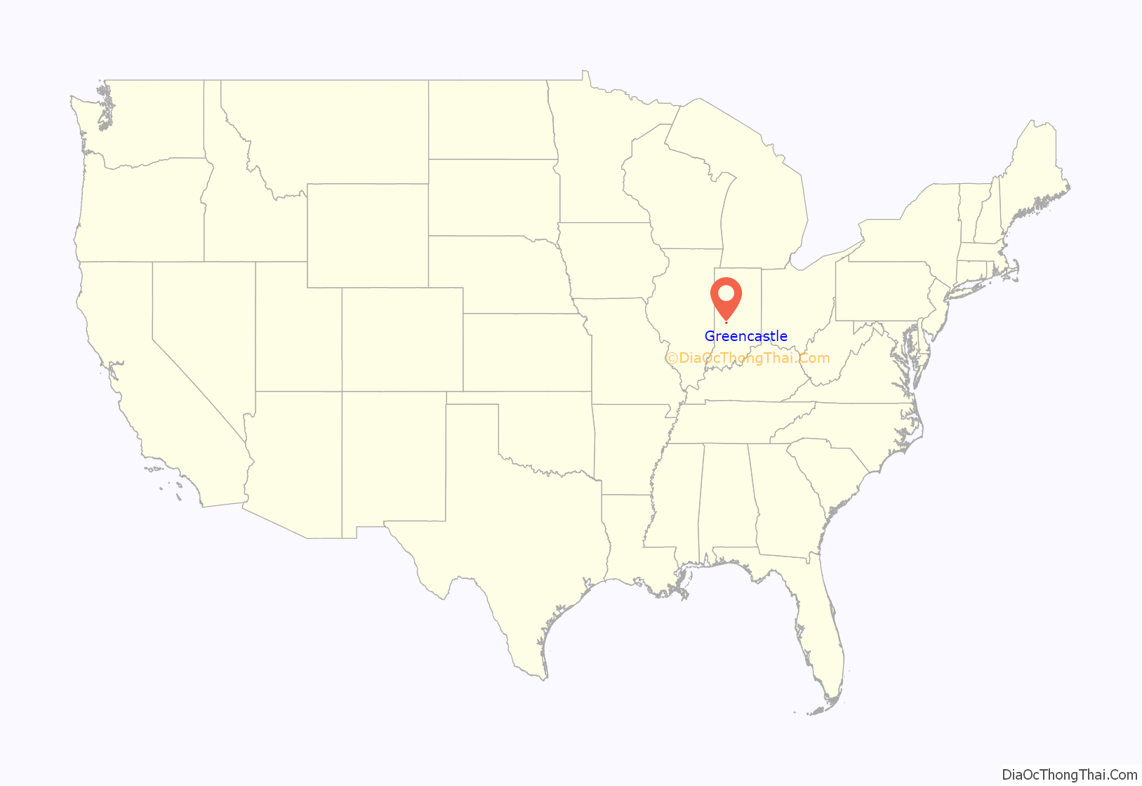
Greencastle location map. Where is Greencastle city?
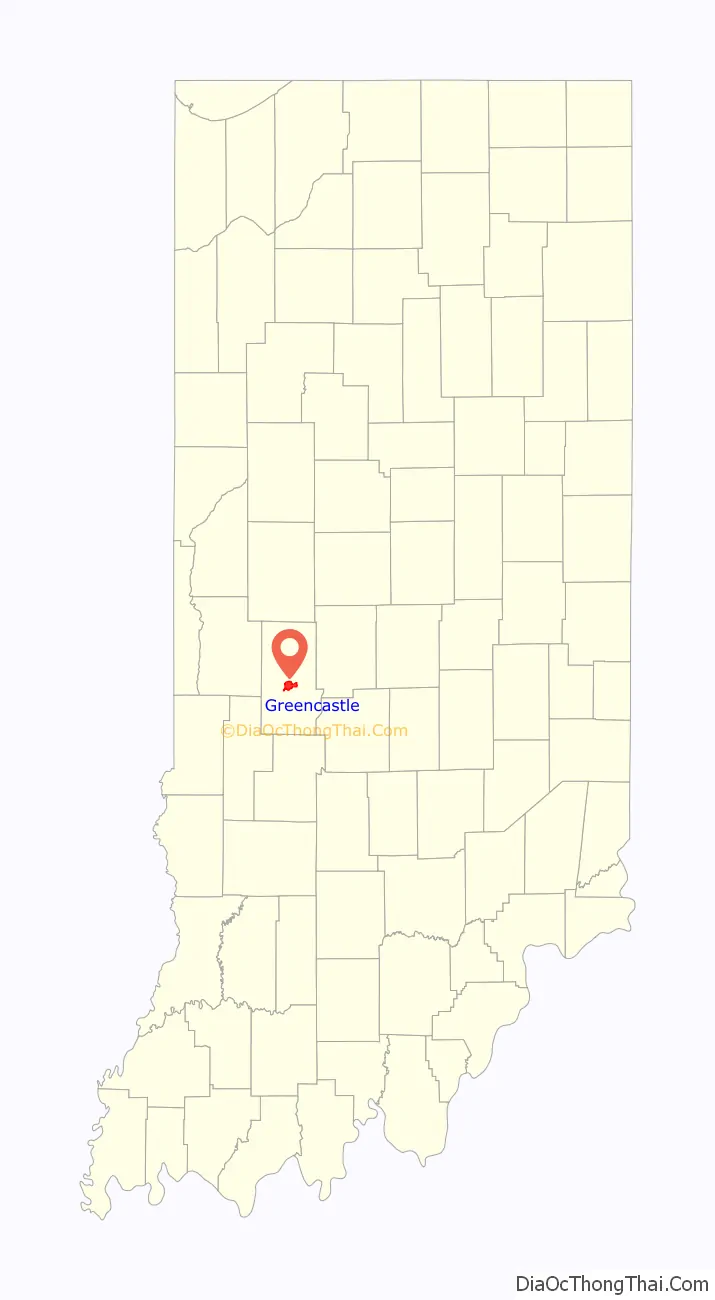
Greencastle Road Map
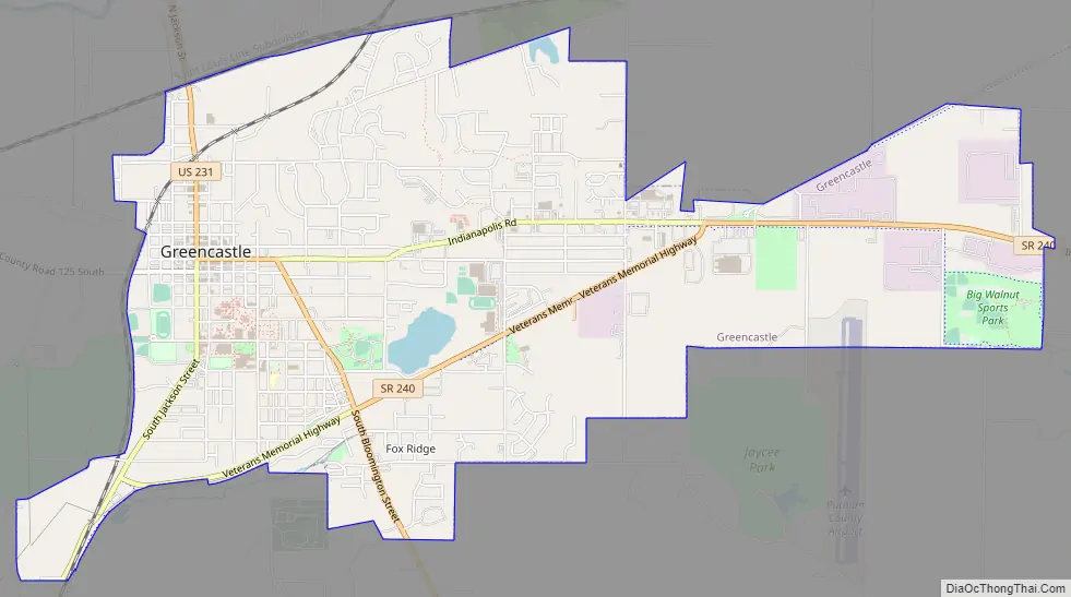
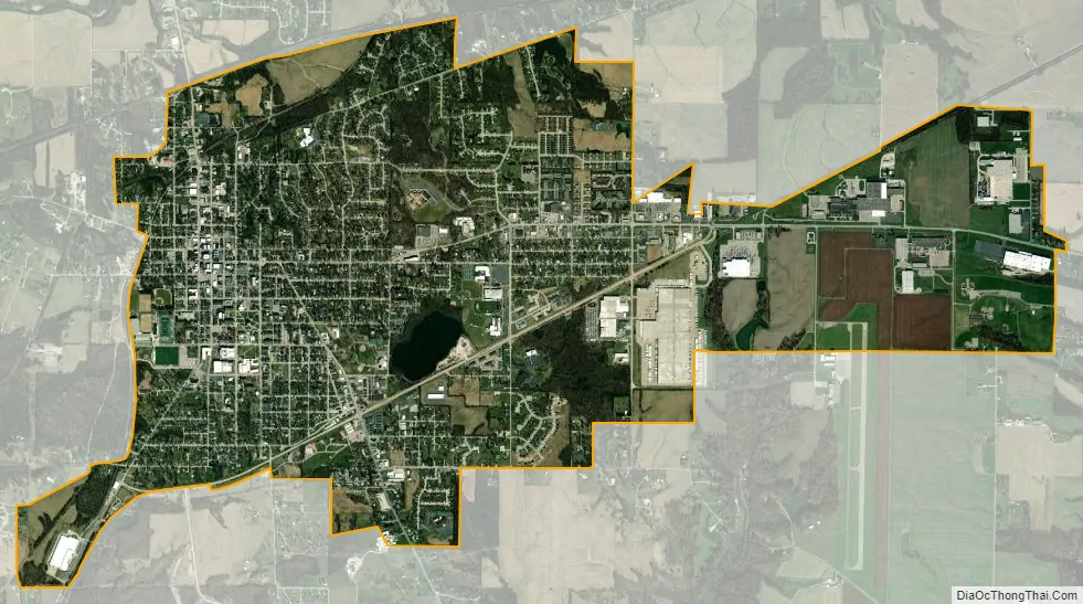
Greencastle city Satellite Map
Geography
Greencastle is located at 39°38′32″N 86°51′22″W / 39.64222°N 86.85611°W / 39.64222; -86.85611 (39.642297, −86.855988).
According to the 2010 census, Greencastle has a total area of 5.291 square miles (13.70 km), of which 5.24 square miles (13.57 km) (or 99.04%) is land and 0.051 square miles (0.13 km) (or 0.96%) is water.
See also
Map of Indiana State and its subdivision:- Adams
- Allen
- Bartholomew
- Benton
- Blackford
- Boone
- Brown
- Carroll
- Cass
- Clark
- Clay
- Clinton
- Crawford
- Daviess
- De Kalb
- Dearborn
- Decatur
- Delaware
- Dubois
- Elkhart
- Fayette
- Floyd
- Fountain
- Franklin
- Fulton
- Gibson
- Grant
- Greene
- Hamilton
- Hancock
- Harrison
- Hendricks
- Henry
- Howard
- Huntington
- Jackson
- Jasper
- Jay
- Jefferson
- Jennings
- Johnson
- Knox
- Kosciusko
- LaGrange
- Lake
- Lake Michigan
- LaPorte
- Lawrence
- Madison
- Marion
- Marshall
- Martin
- Miami
- Monroe
- Montgomery
- Morgan
- Newton
- Noble
- Ohio
- Orange
- Owen
- Parke
- Perry
- Pike
- Porter
- Posey
- Pulaski
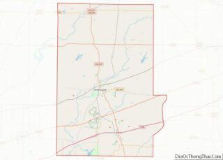
- Putnam
- Randolph
- Ripley
- Rush
- Saint Joseph
- Scott
- Shelby
- Spencer
- Starke
- Steuben
- Sullivan
- Switzerland
- Tippecanoe
- Tipton
- Union
- Vanderburgh
- Vermillion
- Vigo
- Wabash
- Warren
- Warrick
- Washington
- Wayne
- Wells
- White
- Whitley
- Alabama
- Alaska
- Arizona
- Arkansas
- California
- Colorado
- Connecticut
- Delaware
- District of Columbia
- Florida
- Georgia
- Hawaii
- Idaho
- Illinois
- Indiana
- Iowa
- Kansas
- Kentucky
- Louisiana
- Maine
- Maryland
- Massachusetts
- Michigan
- Minnesota
- Mississippi
- Missouri
- Montana
- Nebraska
- Nevada
- New Hampshire
- New Jersey
- New Mexico
- New York
- North Carolina
- North Dakota
- Ohio
- Oklahoma
- Oregon
- Pennsylvania
- Rhode Island
- South Carolina
- South Dakota
- Tennessee
- Texas
- Utah
- Vermont
- Virginia
- Washington
- West Virginia
- Wisconsin
- Wyoming