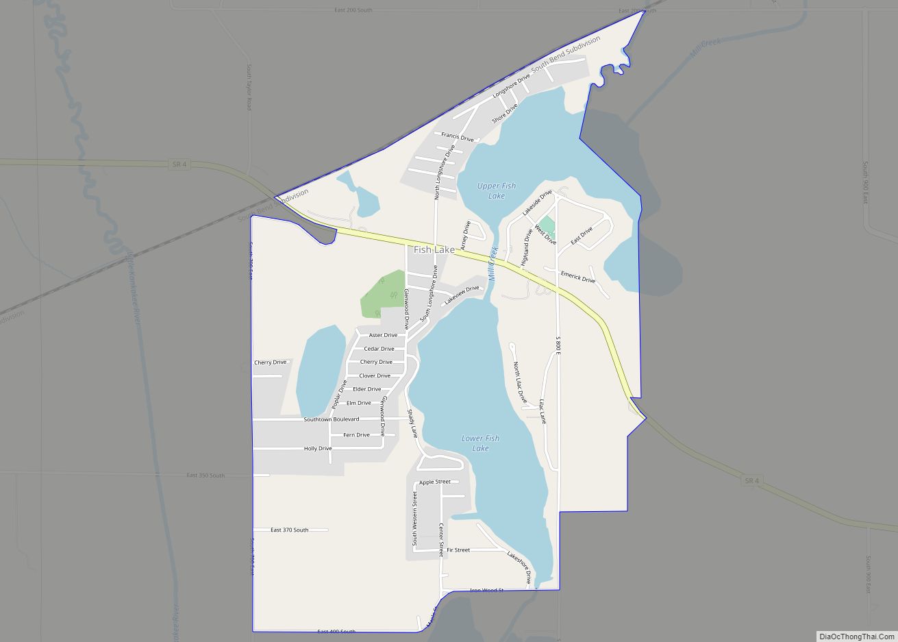
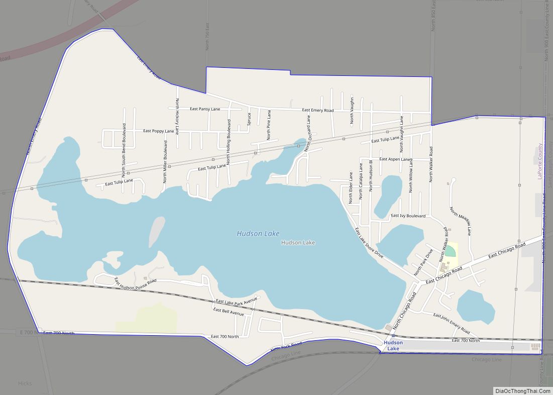
Hudson Lake is an unincorporated community and census-designated place (CDP) in Hudson Township, LaPorte County, Indiana, United States. The town sits on the dividing line between Central and Eastern time zones. It is the site of the Hudson Lake station stop of the South Shore Line. As of the 2010 census, the population of the CDP was 1,297.
Hudson Lake was originally called “Lakeport”, and under the latter name was settled by 1833.
| Name: | Hudson Lake CDP |
|---|---|
| LSAD Code: | 57 |
| LSAD Description: | CDP (suffix) |
| State: | Indiana |
| County: | LaPorte County |
| Elevation: | 771 ft (235 m) |
| Total Area: | 2.68 sq mi (6.95 km²) |
| Land Area: | 1.93 sq mi (4.99 km²) |
| Water Area: | 0.76 sq mi (1.97 km²) |
| Total Population: | 1,226 |
| Population Density: | 636.88/sq mi (245.85/km²) |
| ZIP code: | 46552 |
| FIPS code: | 1835104 |
| GNISfeature ID: | 436576 |
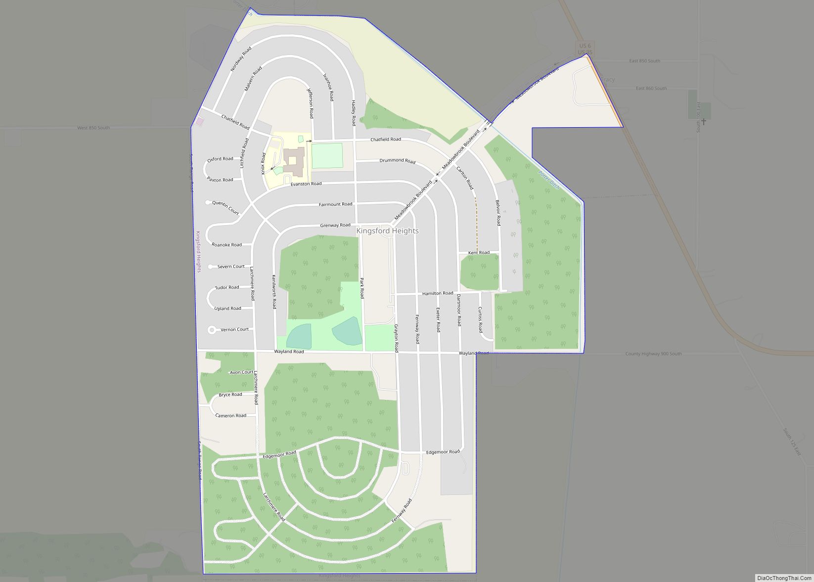
Online Interactive Map
Click on ![]() to view map in "full screen" mode.
to view map in "full screen" mode.
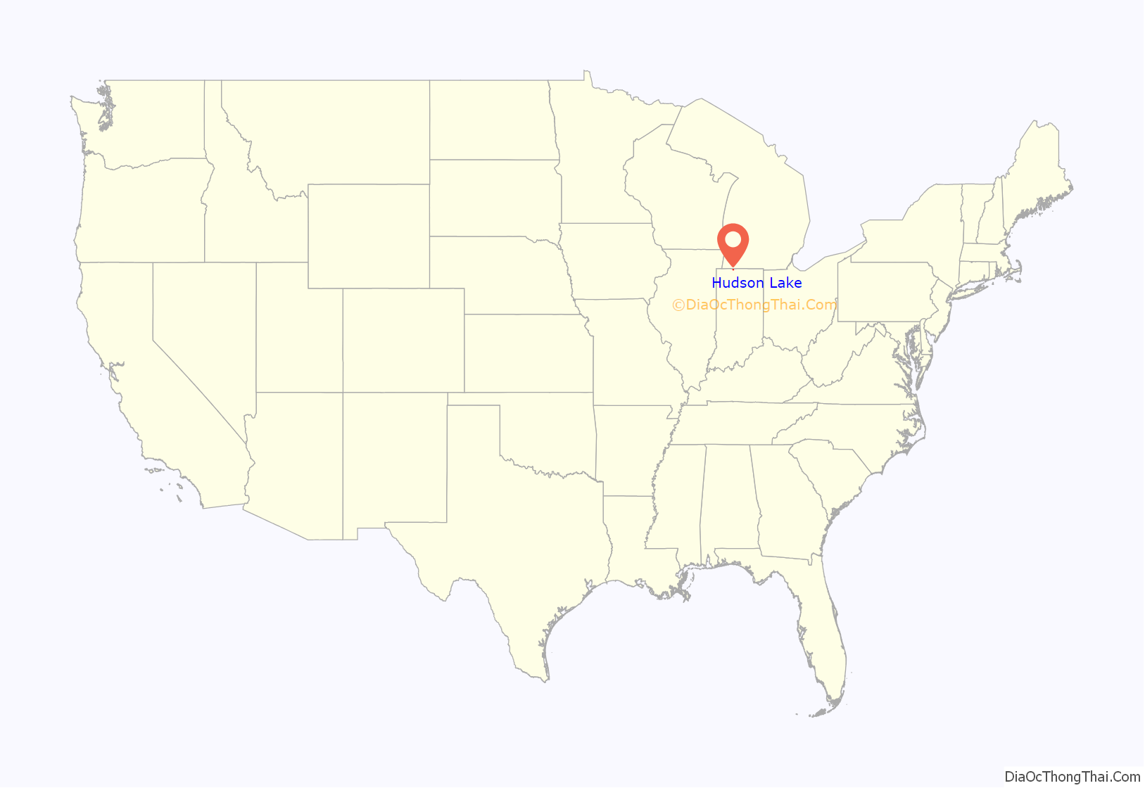
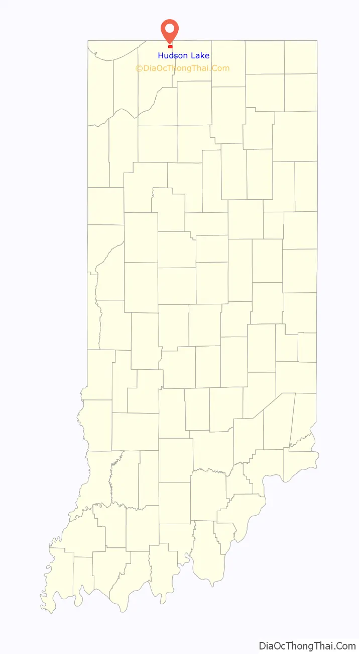
Hudson Lake location map. Where is Hudson Lake CDP?
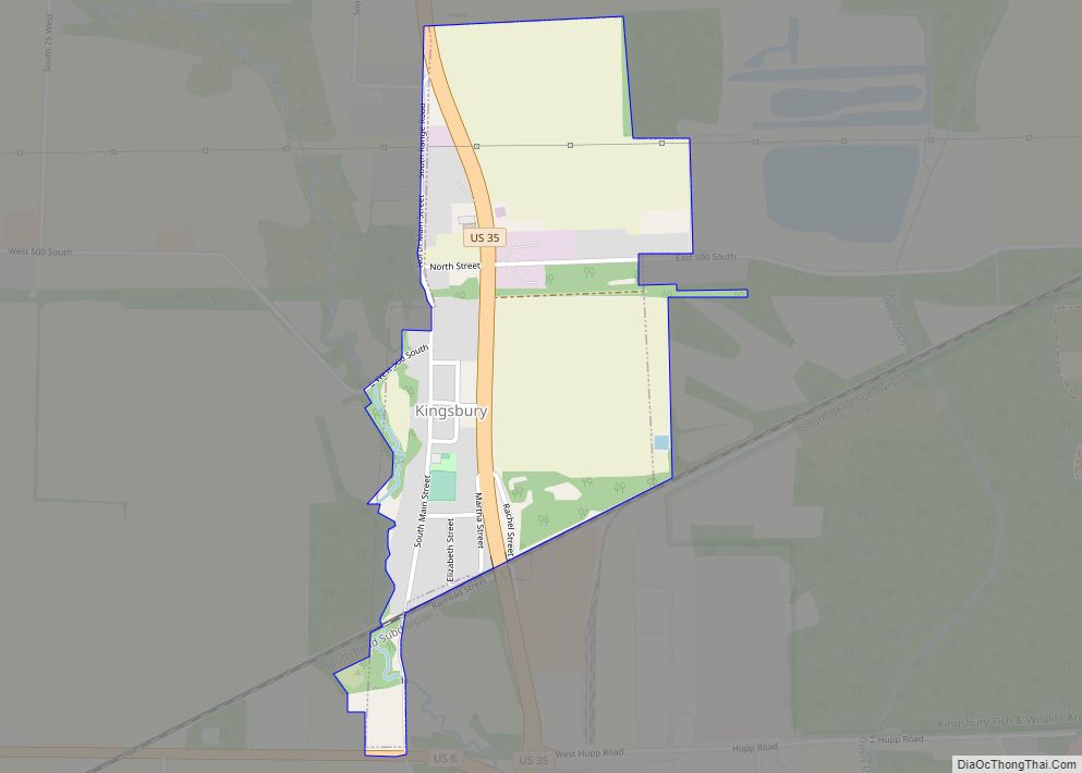
Hudson Lake Road Map
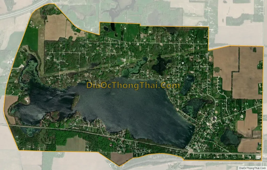
Hudson Lake city Satellite Map
Geography
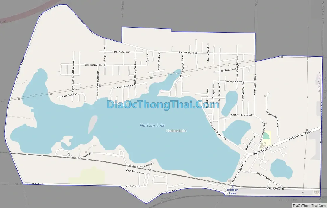
Hudson Lake is located in northeastern LaPorte County at 41°42′50″N 86°32′10″W / 41.71389°N 86.53611°W / 41.71389; -86.53611. The community surrounds a natural water body of the same name. While most of the residences are on the north and east sides of the lake, the census-designated place includes the neighborhood of Lake Park on the south side. The South Shore rail line runs along the southern side of the Hudson Lake water body, leading east 15 miles (24 km) to South Bend and west 18 miles (29 km) to Michigan City.
According to the U.S. Census Bureau, the Hudson Lake CDP has a total area of 2.7 square miles (7.0 km), of which 1.9 square miles (5.0 km) are land and 0.77 square miles (2.0 km), or 28.27%, are water.
See also
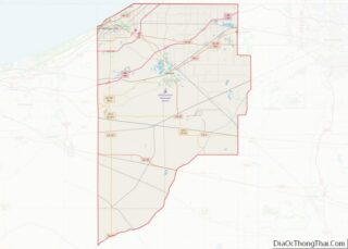
Map of Indiana State and its subdivision:- Adams
- Allen
- Bartholomew
- Benton
- Blackford
- Boone
- Brown
- Carroll
- Cass
- Clark
- Clay
- Clinton
- Crawford
- Daviess
- De Kalb
- Dearborn
- Decatur
- Delaware
- Dubois
- Elkhart
- Fayette
- Floyd
- Fountain
- Franklin
- Fulton
- Gibson
- Grant
- Greene
- Hamilton
- Hancock
- Harrison
- Hendricks
- Henry
- Howard
- Huntington
- Jackson
- Jasper
- Jay
- Jefferson
- Jennings
- Johnson
- Knox
- Kosciusko
- LaGrange
- Lake
- Lake Michigan
- LaPorte
- Lawrence
- Madison
- Marion
- Marshall
- Martin
- Miami
- Monroe
- Montgomery
- Morgan
- Newton
- Noble
- Ohio
- Orange
- Owen
- Parke
- Perry
- Pike
- Porter
- Posey
- Pulaski
- Putnam
- Randolph
- Ripley
- Rush
- Saint Joseph
- Scott
- Shelby
- Spencer
- Starke
- Steuben
- Sullivan
- Switzerland
- Tippecanoe
- Tipton
- Union
- Vanderburgh
- Vermillion
- Vigo
- Wabash
- Warren
- Warrick
- Washington
- Wayne
- Wells
- White
- Whitley
- Alabama
- Alaska
- Arizona
- Arkansas
- California
- Colorado
- Connecticut
- Delaware
- District of Columbia
- Florida
- Georgia
- Hawaii
- Idaho
- Illinois
- Indiana
- Iowa
- Kansas
- Kentucky
- Louisiana
- Maine
- Maryland
- Massachusetts
- Michigan
- Minnesota
- Mississippi
- Missouri
- Montana
- Nebraska
- Nevada
- New Hampshire
- New Jersey
- New Mexico
- New York
- North Carolina
- North Dakota
- Ohio
- Oklahoma
- Oregon
- Pennsylvania
- Rhode Island
- South Carolina
- South Dakota
- Tennessee
- Texas
- Utah
- Vermont
- Virginia
- Washington
- West Virginia
- Wisconsin
- Wyoming