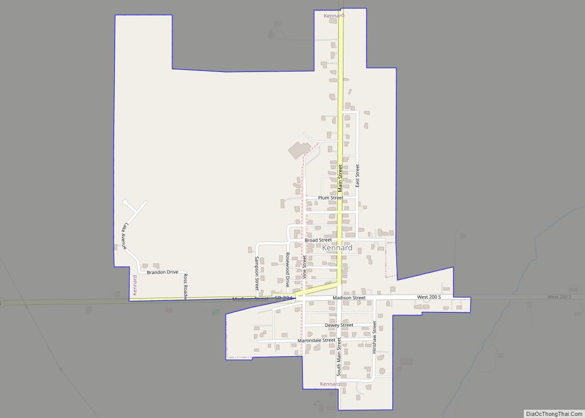
Kennard is a town in Greensboro Township, Henry County, Indiana, United States. The population was 471 at the 2010 census.
| Name: | Kennard town |
|---|---|
| LSAD Code: | 43 |
| LSAD Description: | town (suffix) |
| State: | Indiana |
| County: | Henry County |
| Elevation: | 1,040 ft (317 m) |
| Total Area: | 0.42 sq mi (1.10 km²) |
| Land Area: | 0.42 sq mi (1.10 km²) |
| Water Area: | 0.00 sq mi (0.00 km²) |
| Total Population: | 451 |
| Population Density: | 1,066.19/sq mi (411.21/km²) |
| ZIP code: | 47351 |
| Area code: | 765 |
| FIPS code: | 1839438 |
| GNISfeature ID: | 0437241 |
| Website: | http://www.kennardin.com/ |
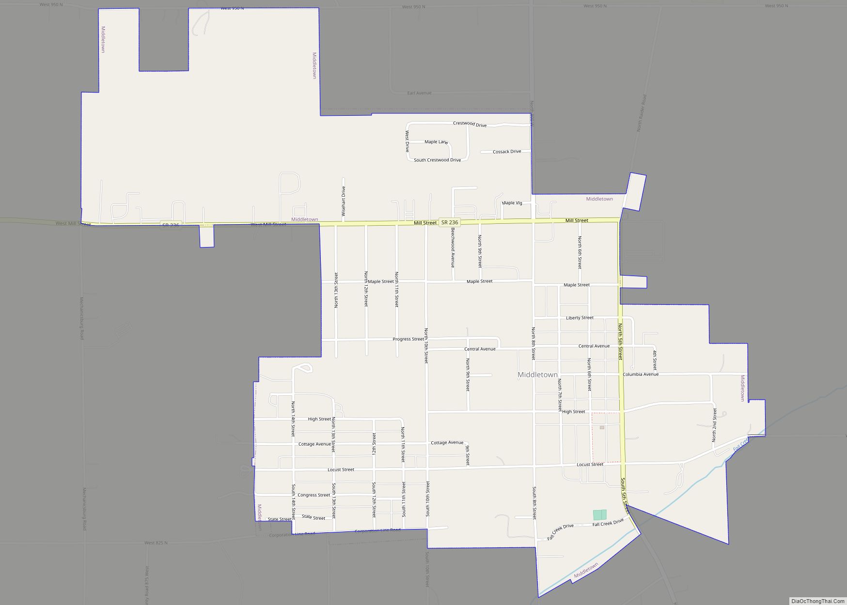
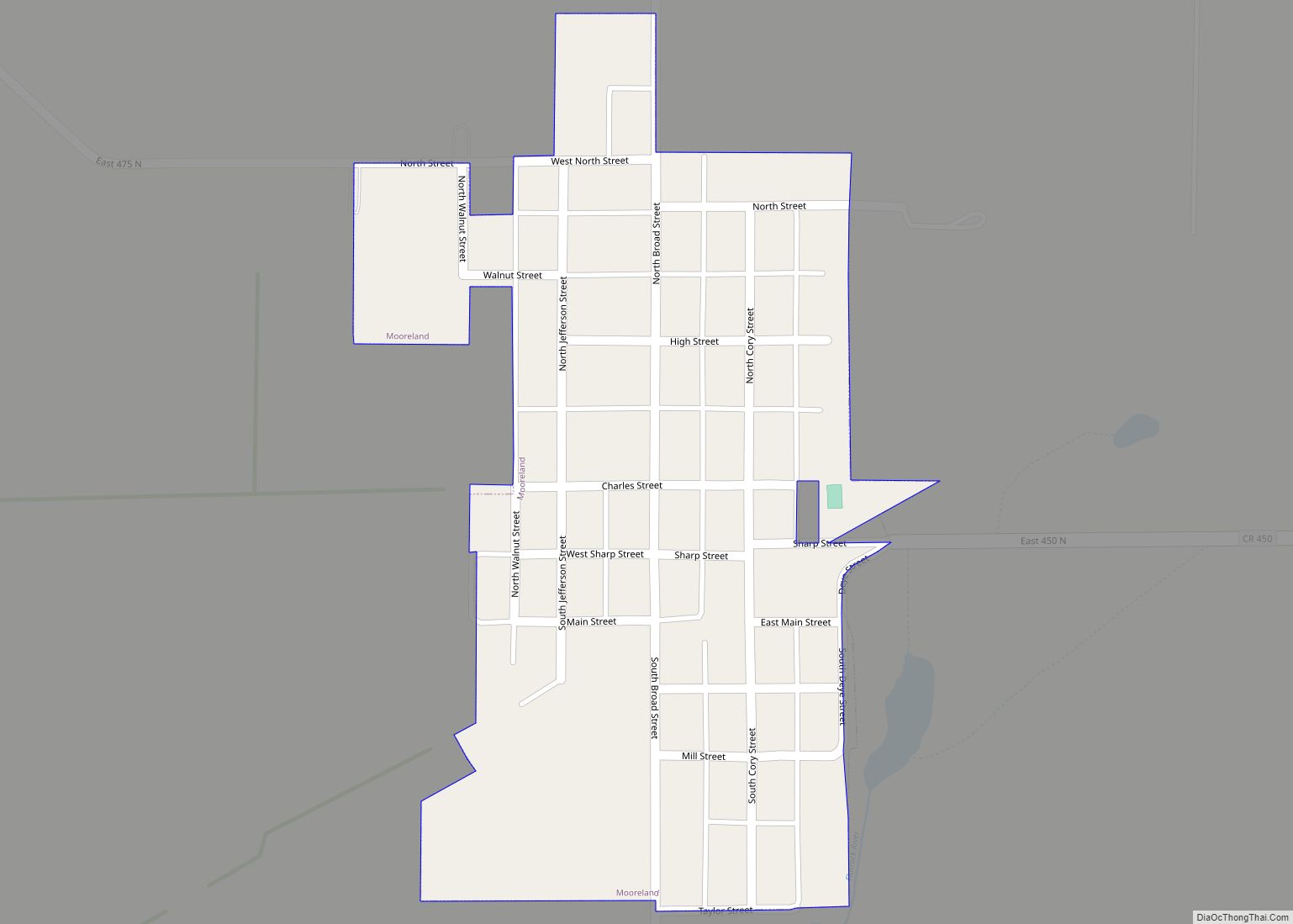
Online Interactive Map
Click on ![]() to view map in "full screen" mode.
to view map in "full screen" mode.
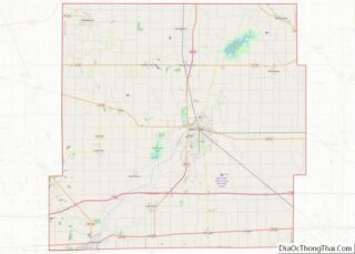
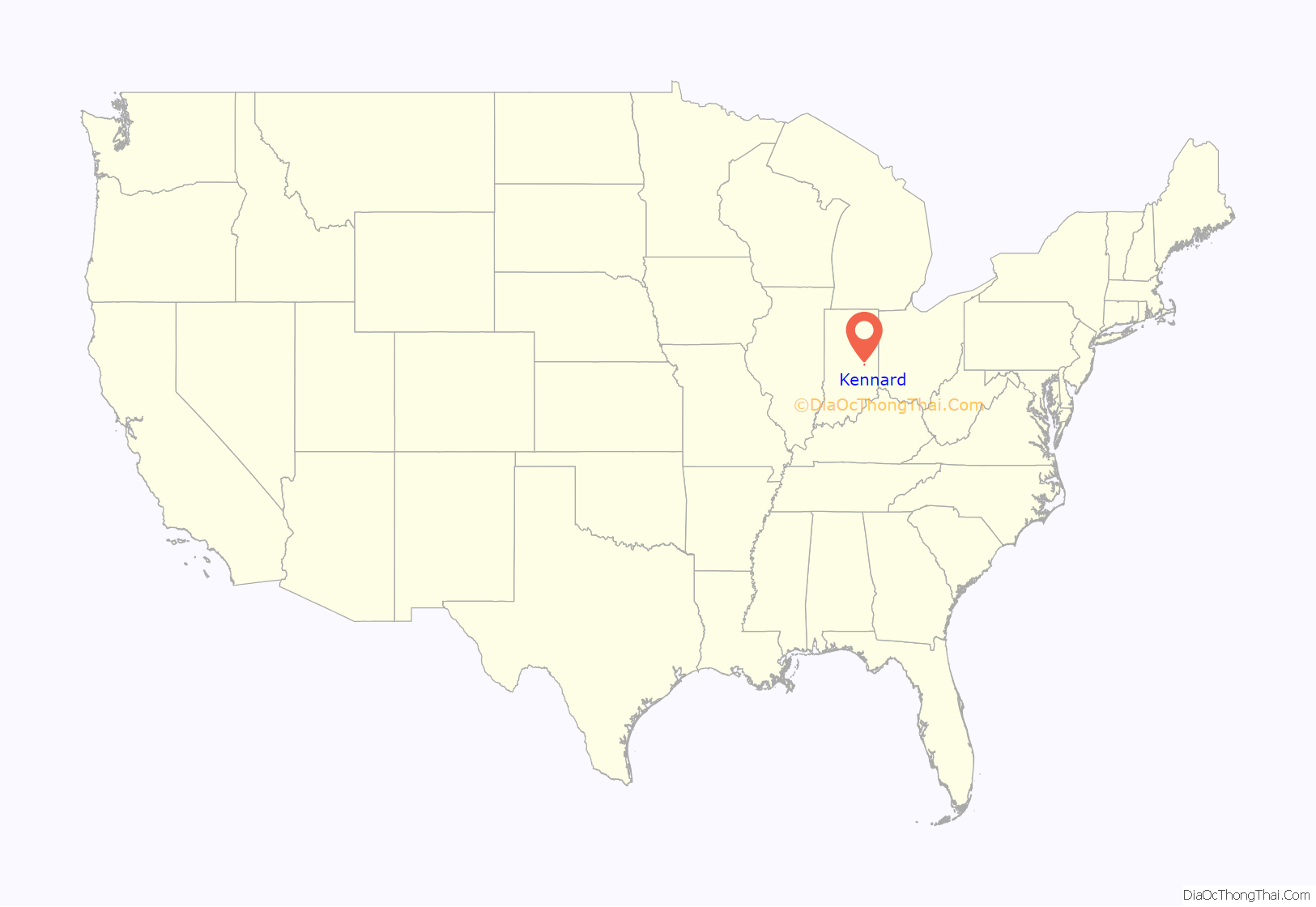
Kennard location map. Where is Kennard town?
History
Kennard was platted in 1882, and named for Jenkins Kennard. Cyrus Hinshaw helped to found the town and was instrumental in having the town named for Jenkins Kennard. Hinshaw Street was named after Cyrus and his family. On April 3, 1974 a multi-vortex F4 tornado hit Kennard, Indiana. The storm removed the entire second-story of the Kennard High School and destroyed 70% of the Town, including the Kennard Town Hall and fire station. 17 people were injured and one newborn child was killed in the storm.
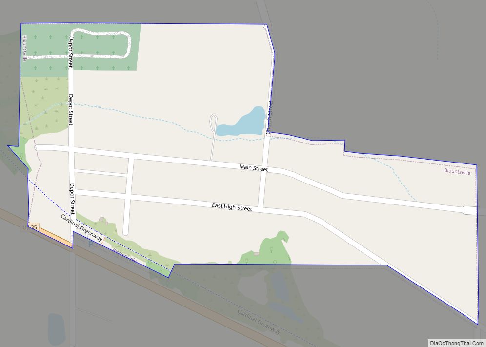
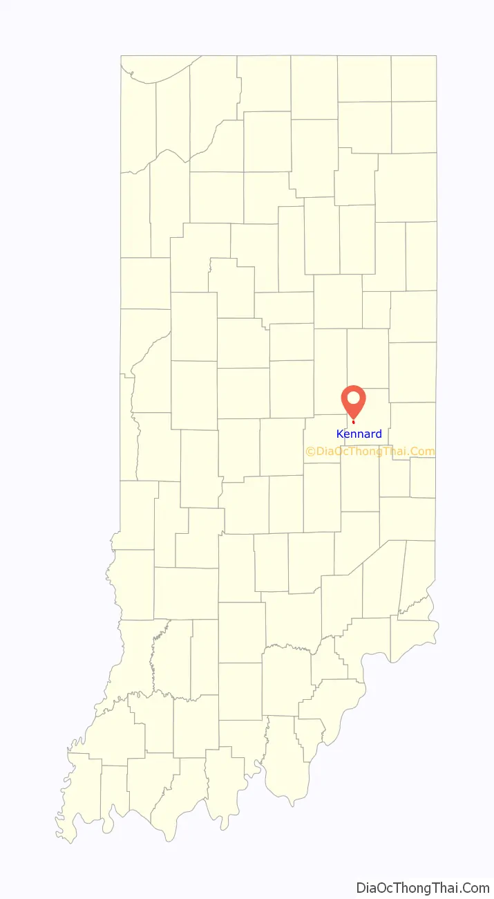
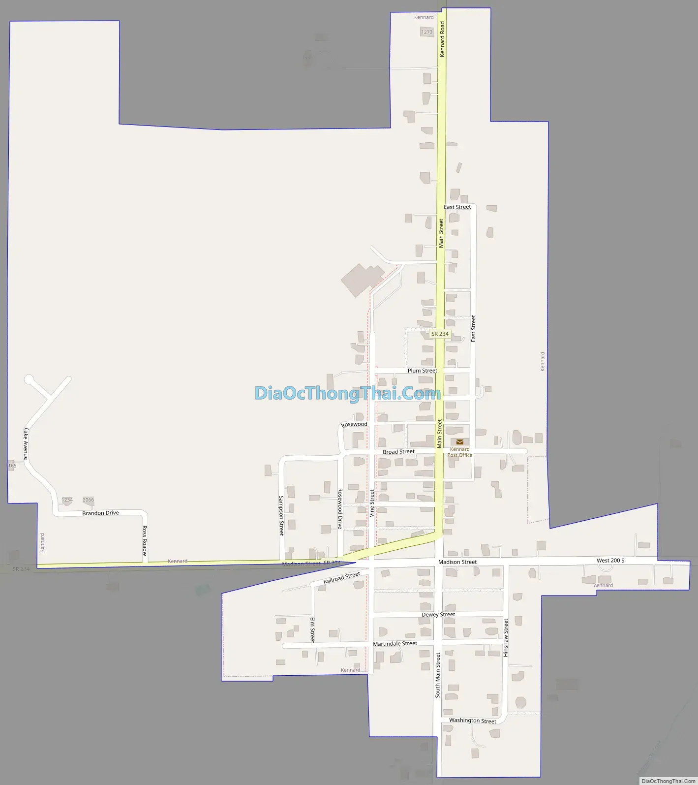
Kennard Road Map
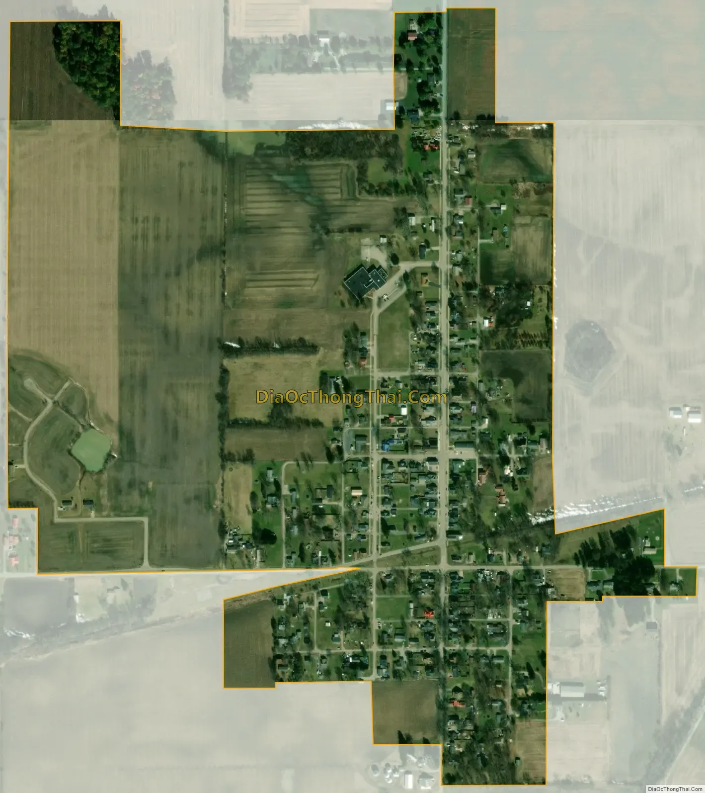
Kennard city Satellite Map
Geography
Kennard is located at 39°54′14″N 85°31′8″W / 39.90389°N 85.51889°W / 39.90389; -85.51889 (39.903876, -85.518935).
According to the 2010 census, Kennard has a total area of 0.42 square miles (1.09 km), all land.
See also
Map of Indiana State and its subdivision:- Adams
- Allen
- Bartholomew
- Benton
- Blackford
- Boone
- Brown
- Carroll
- Cass
- Clark
- Clay
- Clinton
- Crawford
- Daviess
- De Kalb
- Dearborn
- Decatur
- Delaware
- Dubois
- Elkhart
- Fayette
- Floyd
- Fountain
- Franklin
- Fulton
- Gibson
- Grant
- Greene
- Hamilton
- Hancock
- Harrison
- Hendricks
- Henry
- Howard
- Huntington
- Jackson
- Jasper
- Jay
- Jefferson
- Jennings
- Johnson
- Knox
- Kosciusko
- LaGrange
- Lake
- Lake Michigan
- LaPorte
- Lawrence
- Madison
- Marion
- Marshall
- Martin
- Miami
- Monroe
- Montgomery
- Morgan
- Newton
- Noble
- Ohio
- Orange
- Owen
- Parke
- Perry
- Pike
- Porter
- Posey
- Pulaski
- Putnam
- Randolph
- Ripley
- Rush
- Saint Joseph
- Scott
- Shelby
- Spencer
- Starke
- Steuben
- Sullivan
- Switzerland
- Tippecanoe
- Tipton
- Union
- Vanderburgh
- Vermillion
- Vigo
- Wabash
- Warren
- Warrick
- Washington
- Wayne
- Wells
- White
- Whitley
- Alabama
- Alaska
- Arizona
- Arkansas
- California
- Colorado
- Connecticut
- Delaware
- District of Columbia
- Florida
- Georgia
- Hawaii
- Idaho
- Illinois
- Indiana
- Iowa
- Kansas
- Kentucky
- Louisiana
- Maine
- Maryland
- Massachusetts
- Michigan
- Minnesota
- Mississippi
- Missouri
- Montana
- Nebraska
- Nevada
- New Hampshire
- New Jersey
- New Mexico
- New York
- North Carolina
- North Dakota
- Ohio
- Oklahoma
- Oregon
- Pennsylvania
- Rhode Island
- South Carolina
- South Dakota
- Tennessee
- Texas
- Utah
- Vermont
- Virginia
- Washington
- West Virginia
- Wisconsin
- Wyoming