Lakes of the Four Seasons is a census-designated place (CDP) in Lake and Porter counties in the U.S. state of Indiana. The population was 7,033 at the 2010 census.
| Name: | Lakes of the Four Seasons CDP |
|---|---|
| LSAD Code: | 57 |
| LSAD Description: | CDP (suffix) |
| State: | Indiana |
| County: | Lake County, Porter County |
| Elevation: | 764 ft (233 m) |
| Total Area: | 2.69 sq mi (6.98 km²) |
| Land Area: | 2.28 sq mi (5.90 km²) |
| Water Area: | 0.42 sq mi (1.08 km²) |
| Total Population: | 7,091 |
| Population Density: | 3,112.82/sq mi (1,202.04/km²) |
| ZIP code: | 46307 |
| Area code: | 219 |
| FIPS code: | 1841530 |
| GNISfeature ID: | 450251 |
| Website: | www.lofs.org |
Online Interactive Map
Click on ![]() to view map in "full screen" mode.
to view map in "full screen" mode.
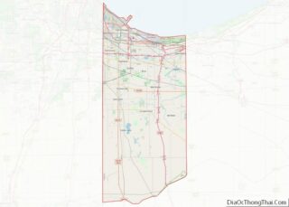
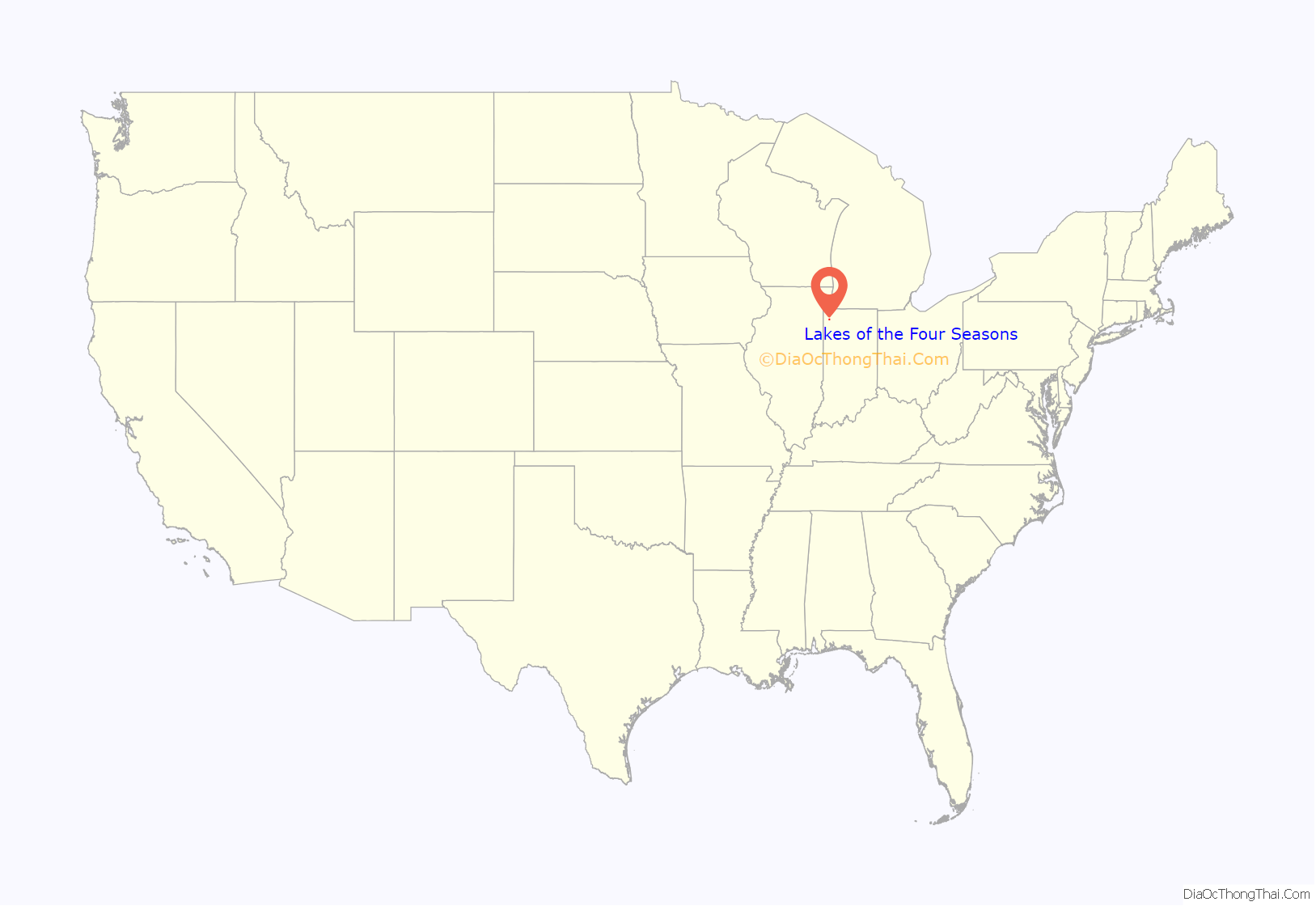
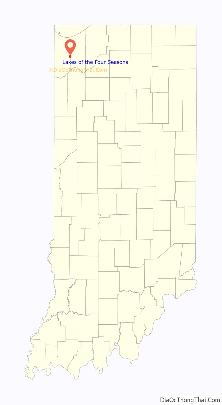
Lakes of the Four Seasons location map. Where is Lakes of the Four Seasons CDP?
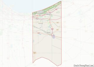
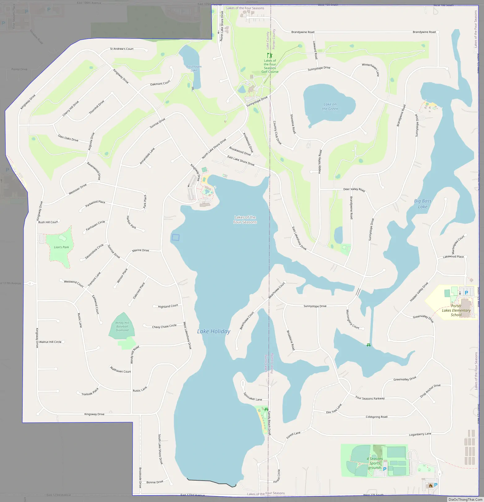
Lakes of the Four Seasons Road Map
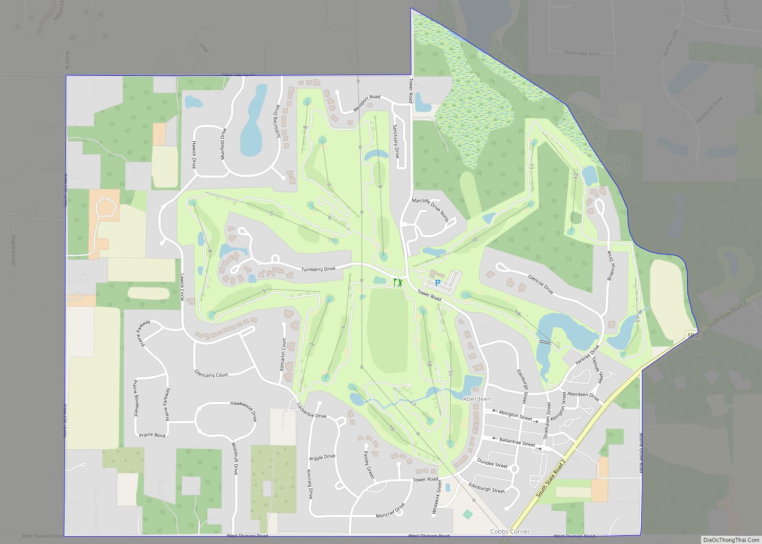
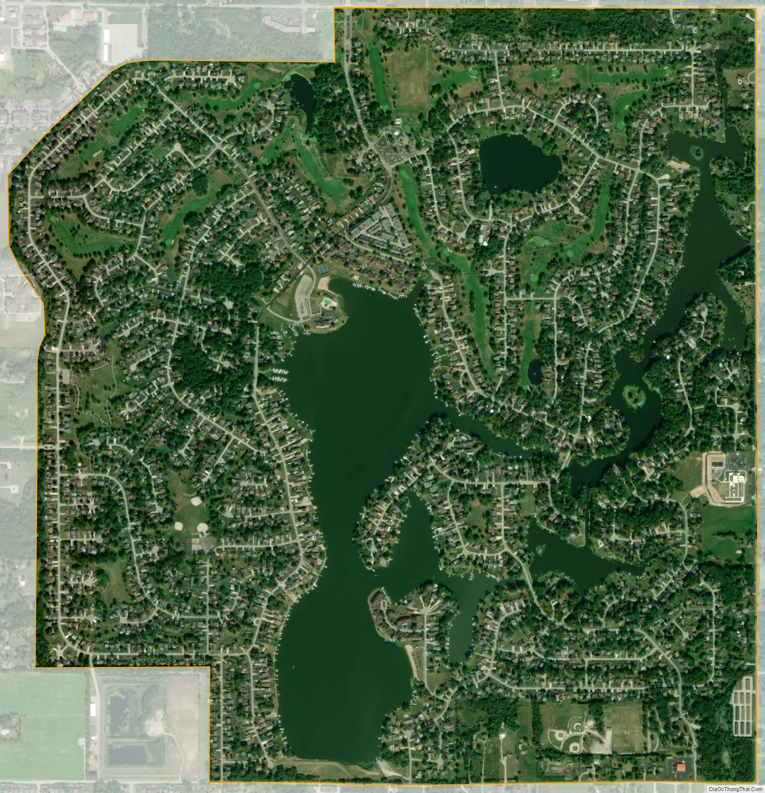
Lakes of the Four Seasons city Satellite Map
Geography
The county line of Porter and Lake counties runs directly through the center of the Four Seasons. While the entire community, both the Porter and Lake County sides, have Crown Point mailing addresses, the school districts attended by the children who reside within the community are separated by county. Residents on the Porter County side are considered part of the Porter Township school system, whereas those on the Lake County side are in the Crown Point school system.
Lakes of the Four Seasons is located at 41°24′28″N 87°13′5″W / 41.40778°N 87.21806°W / 41.40778; -87.21806 (41.407824, -87.217953).
According to the United States Census Bureau, the CDP has a total area of 2.7 square miles (7.0 km), of which 2.3 square miles (5.9 km) are land and 0.42 square miles (1.1 km), or 15.39%, are water. The Lakes of the Four Seasons consist of Lake Holiday, an impoundment on the East Branch of Stony Run, plus Big Bass Lake, Lake on the Green, and Trouthaven Lake. Big Bass Lake connects to Lake Holiday, which via Stony Run drains south and west to the Kankakee River, part of the Illinois River watershed. Lake on the Green has no surface outlet, while Trouthaven Lake drains northwest to the Deep River, which winds north to the Little Calumet River and Lake Michigan.
See also
Map of Indiana State and its subdivision:- Adams
- Allen
- Bartholomew
- Benton
- Blackford
- Boone
- Brown
- Carroll
- Cass
- Clark
- Clay
- Clinton
- Crawford
- Daviess
- De Kalb
- Dearborn
- Decatur
- Delaware
- Dubois
- Elkhart
- Fayette
- Floyd
- Fountain
- Franklin
- Fulton
- Gibson
- Grant
- Greene
- Hamilton
- Hancock
- Harrison
- Hendricks
- Henry
- Howard
- Huntington
- Jackson
- Jasper
- Jay
- Jefferson
- Jennings
- Johnson
- Knox
- Kosciusko
- LaGrange
- Lake
- Lake Michigan
- LaPorte
- Lawrence
- Madison
- Marion
- Marshall
- Martin
- Miami
- Monroe
- Montgomery
- Morgan
- Newton
- Noble
- Ohio
- Orange
- Owen
- Parke
- Perry
- Pike
- Porter
- Posey
- Pulaski
- Putnam
- Randolph
- Ripley
- Rush
- Saint Joseph
- Scott
- Shelby
- Spencer
- Starke
- Steuben
- Sullivan
- Switzerland
- Tippecanoe
- Tipton
- Union
- Vanderburgh
- Vermillion
- Vigo
- Wabash
- Warren
- Warrick
- Washington
- Wayne
- Wells
- White
- Whitley
- Alabama
- Alaska
- Arizona
- Arkansas
- California
- Colorado
- Connecticut
- Delaware
- District of Columbia
- Florida
- Georgia
- Hawaii
- Idaho
- Illinois
- Indiana
- Iowa
- Kansas
- Kentucky
- Louisiana
- Maine
- Maryland
- Massachusetts
- Michigan
- Minnesota
- Mississippi
- Missouri
- Montana
- Nebraska
- Nevada
- New Hampshire
- New Jersey
- New Mexico
- New York
- North Carolina
- North Dakota
- Ohio
- Oklahoma
- Oregon
- Pennsylvania
- Rhode Island
- South Carolina
- South Dakota
- Tennessee
- Texas
- Utah
- Vermont
- Virginia
- Washington
- West Virginia
- Wisconsin
- Wyoming