Leo-Cedarville is a town in Cedar Creek Township, Allen County, Indiana, United States. The population was 3,603 at the 2010 census.
| Name: | Leo-Cedarville town |
|---|---|
| LSAD Code: | 43 |
| LSAD Description: | town (suffix) |
| State: | Indiana |
| County: | Allen County |
| Elevation: | 797 ft (243 m) |
| Total Area: | 3.86 sq mi (9.99 km²) |
| Land Area: | 3.72 sq mi (9.65 km²) |
| Water Area: | 0.13 sq mi (0.34 km²) |
| Total Population: | 3,624 |
| Population Density: | 973.15/sq mi (375.70/km²) |
| ZIP code: | 46765 |
| Area code: | 260 |
| FIPS code: | 1842861 |
| GNISfeature ID: | 1681810 |
| Website: | http://www.leocedarville.com/ |
Online Interactive Map
Click on ![]() to view map in "full screen" mode.
to view map in "full screen" mode.
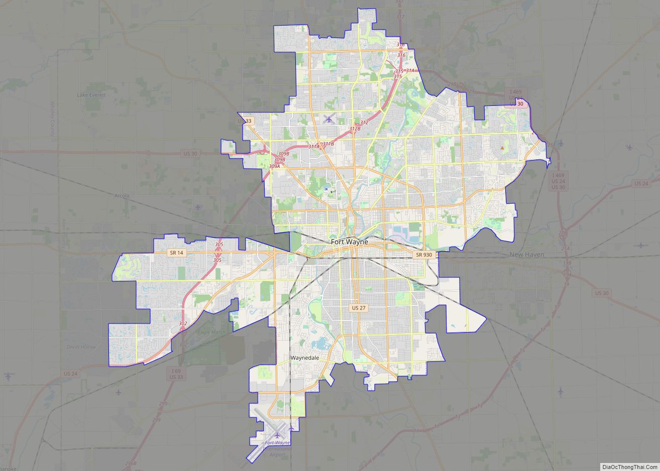
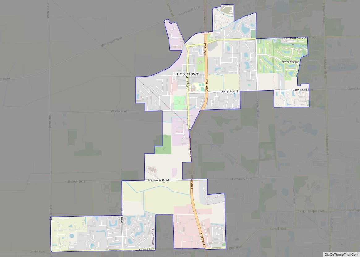
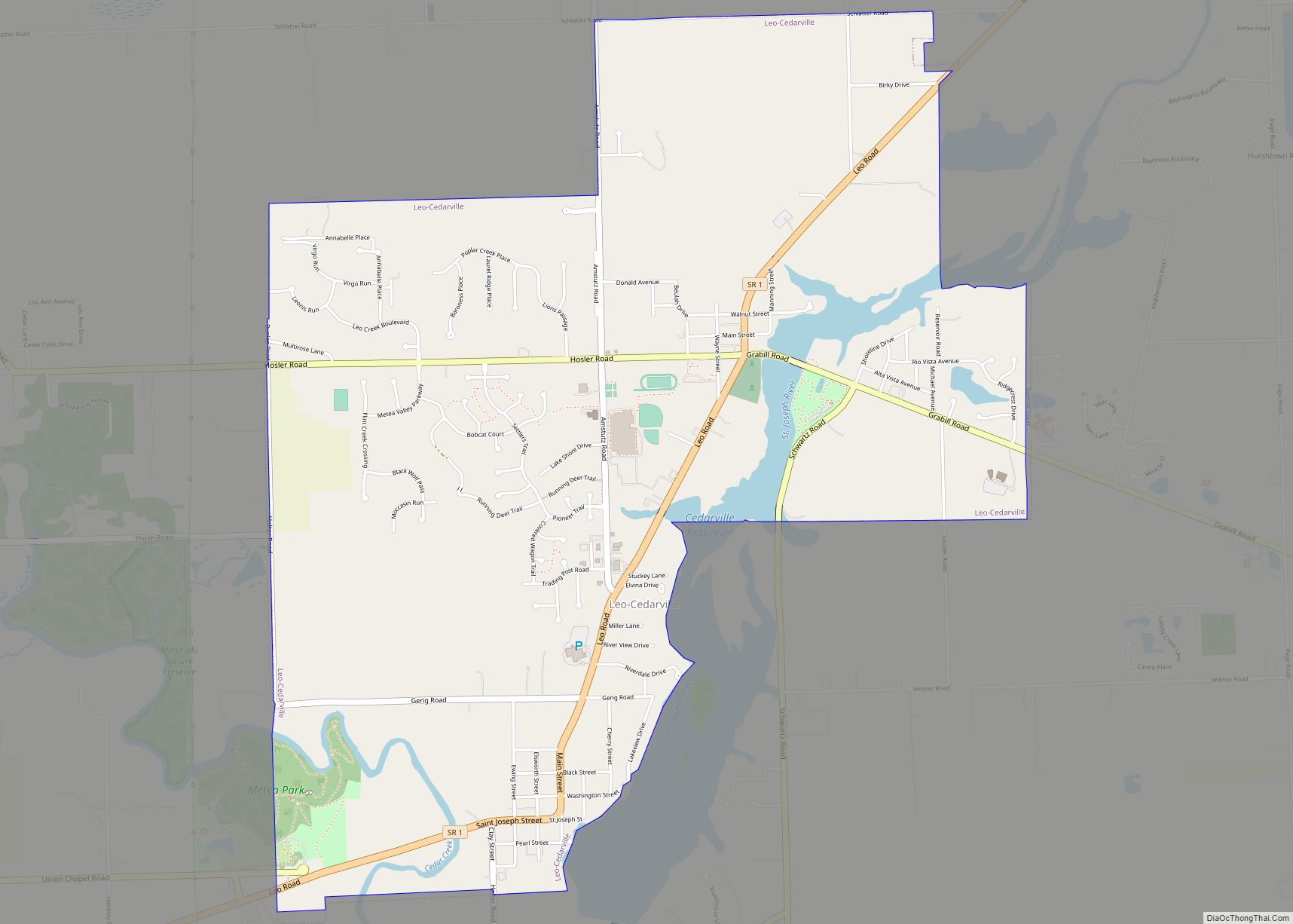
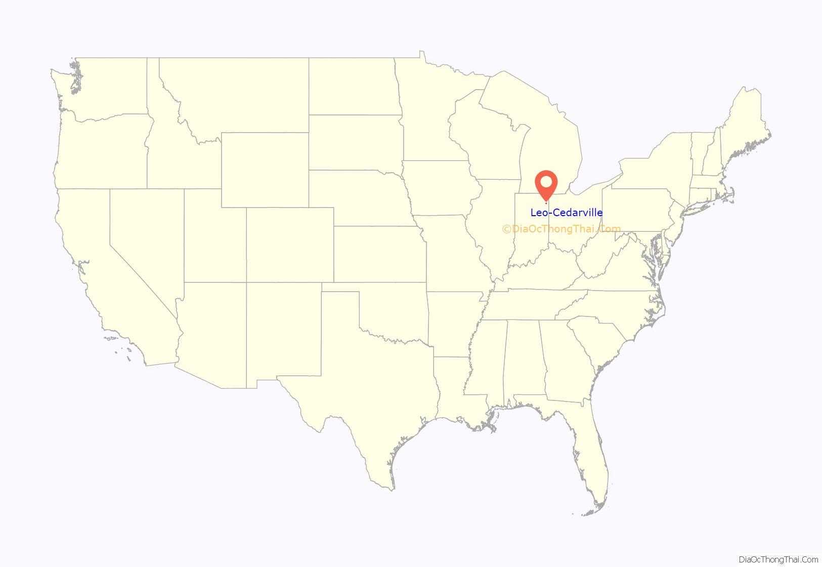
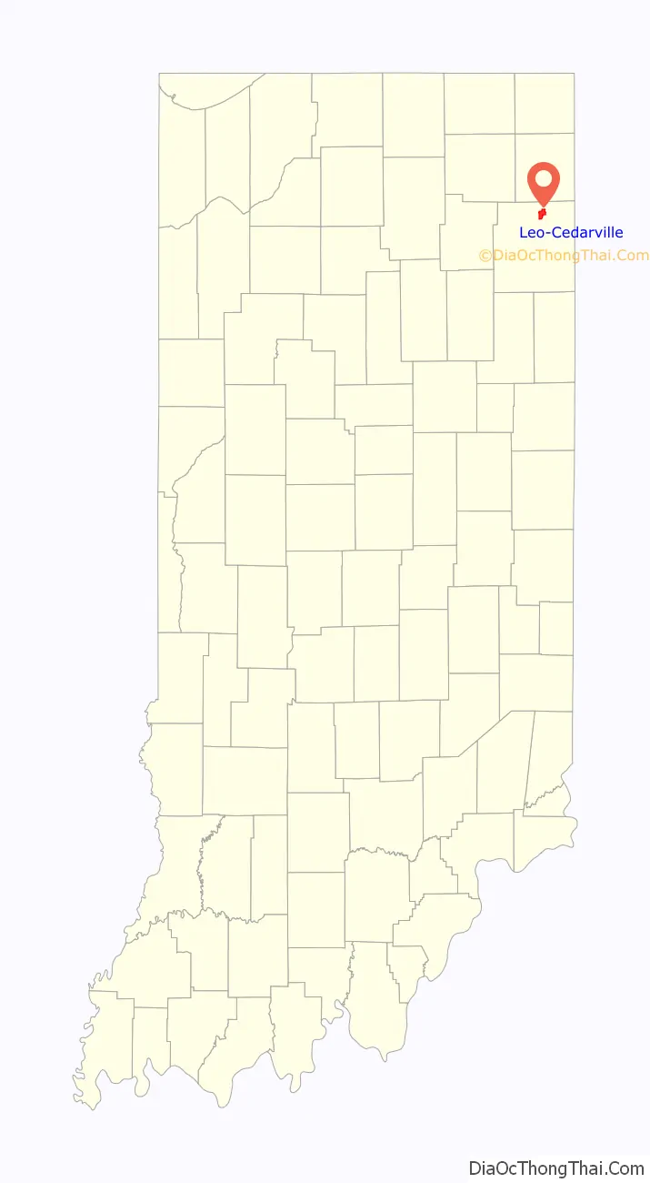
Leo-Cedarville location map. Where is Leo-Cedarville town?
History
Once separate villages, Cedarville was platted in 1838, and Leo was founded in 1849, originally as the Town of Hamilton.
Leo-Cedarville was formed by the incorporation of the villages of Leo and Cedarville in 1996. This was done so that the two towns could not be annexed by the nearby city of Fort Wayne.
The Hursh Road Bridge was added to the National Register of Historic Places in 1981 and delisted in 1993.
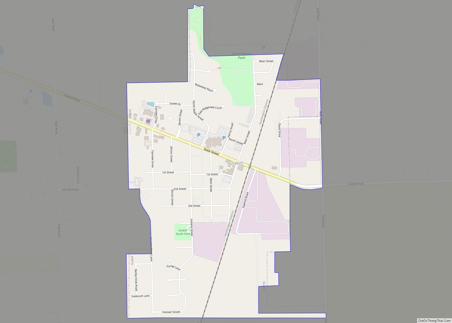
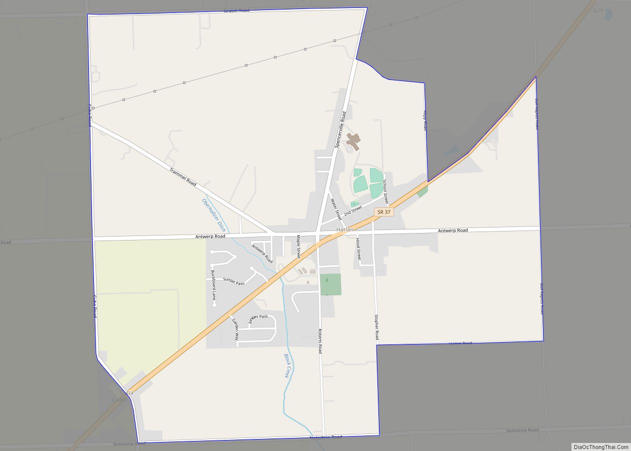
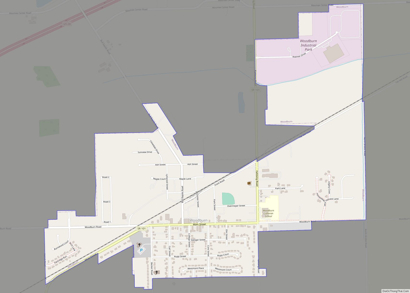
Leo-Cedarville Road Map
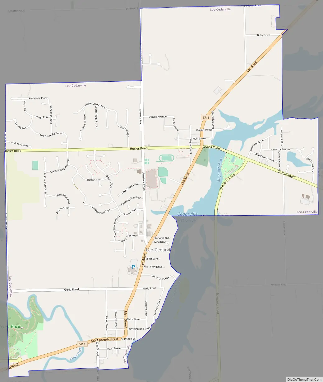
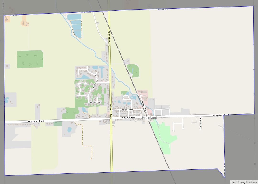
Leo-Cedarville city Satellite Map
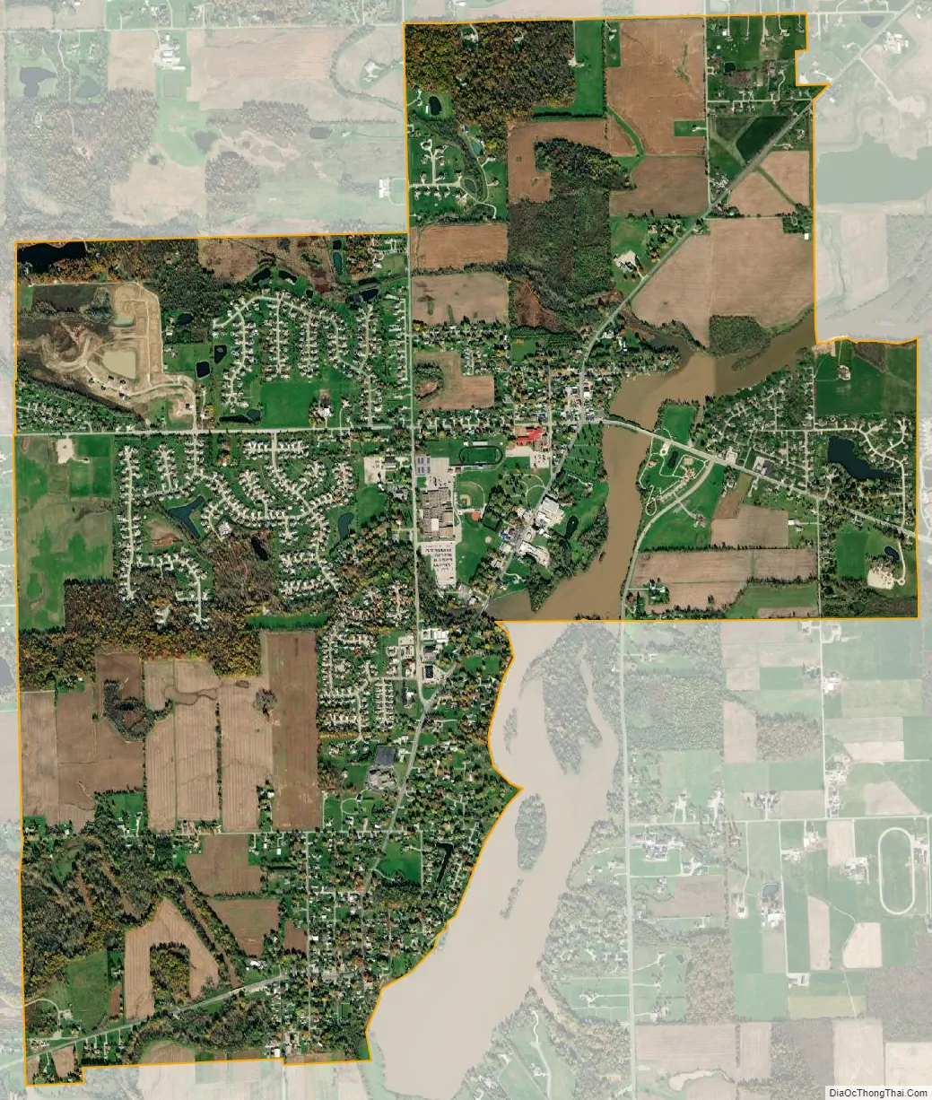
Geography
Leo-Cedarville is located at 41°12′54″N 85°0′56″W / 41.21500°N 85.01556°W / 41.21500; -85.01556 (41.214899, -85.015475) along the St. Joseph River and the Cedarville Reservoir.
According to the 2010 census, Leo-Cedarville has a total area of 3.85 square miles (9.97 km), of which 3.71 square miles (9.61 km) (or 96.36%) is land and 0.14 square miles (0.36 km) (or 3.64%) is water.
See also
Map of Indiana State and its subdivision:- Adams
- Allen
- Bartholomew
- Benton
- Blackford
- Boone
- Brown
- Carroll
- Cass
- Clark
- Clay
- Clinton
- Crawford
- Daviess
- De Kalb
- Dearborn
- Decatur
- Delaware
- Dubois
- Elkhart
- Fayette
- Floyd
- Fountain
- Franklin
- Fulton
- Gibson
- Grant
- Greene
- Hamilton
- Hancock
- Harrison
- Hendricks
- Henry
- Howard
- Huntington
- Jackson
- Jasper
- Jay
- Jefferson
- Jennings
- Johnson
- Knox
- Kosciusko
- LaGrange
- Lake
- Lake Michigan
- LaPorte
- Lawrence
- Madison
- Marion
- Marshall
- Martin
- Miami
- Monroe
- Montgomery
- Morgan
- Newton
- Noble
- Ohio
- Orange
- Owen
- Parke
- Perry
- Pike
- Porter
- Posey
- Pulaski
- Putnam
- Randolph
- Ripley
- Rush
- Saint Joseph
- Scott
- Shelby
- Spencer
- Starke
- Steuben
- Sullivan
- Switzerland
- Tippecanoe
- Tipton
- Union
- Vanderburgh
- Vermillion
- Vigo
- Wabash
- Warren
- Warrick
- Washington
- Wayne
- Wells
- White
- Whitley
- Alabama
- Alaska
- Arizona
- Arkansas
- California
- Colorado
- Connecticut
- Delaware
- District of Columbia
- Florida
- Georgia
- Hawaii
- Idaho
- Illinois
- Indiana
- Iowa
- Kansas
- Kentucky
- Louisiana
- Maine
- Maryland
- Massachusetts
- Michigan
- Minnesota
- Mississippi
- Missouri
- Montana
- Nebraska
- Nevada
- New Hampshire
- New Jersey
- New Mexico
- New York
- North Carolina
- North Dakota
- Ohio
- Oklahoma
- Oregon
- Pennsylvania
- Rhode Island
- South Carolina
- South Dakota
- Tennessee
- Texas
- Utah
- Vermont
- Virginia
- Washington
- West Virginia
- Wisconsin
- Wyoming