Meridian Hills is a town in Washington Township, Marion County, Indiana, about 8 miles (13 km) north of downtown Indianapolis. It had a population of 1,774 at the 2020 census, up from 1,616 in 2010.
| Name: | Meridian Hills town |
|---|---|
| LSAD Code: | 43 |
| LSAD Description: | town (suffix) |
| State: | Indiana |
| County: | Marion County |
| Elevation: | 791 ft (241 m) |
| Total Area: | 1.48 sq mi (3.82 km²) |
| Land Area: | 1.48 sq mi (3.82 km²) |
| Water Area: | 0.00 sq mi (0.00 km²) |
| Total Population: | 1,774 |
| Population Density: | 1,202.71/sq mi (464.45/km²) |
| FIPS code: | 1848456 |
| GNISfeature ID: | 0439019 |
| Website: | www.meridianhills.org |
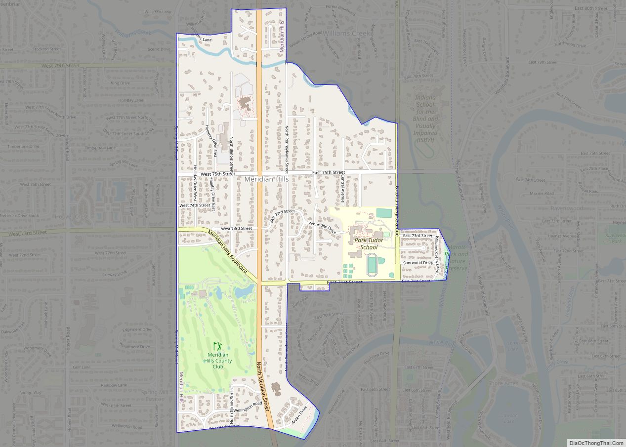
Online Interactive Map
Click on ![]() to view map in "full screen" mode.
to view map in "full screen" mode.
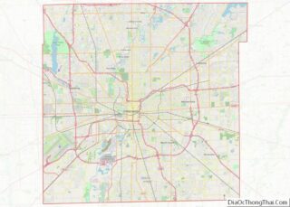
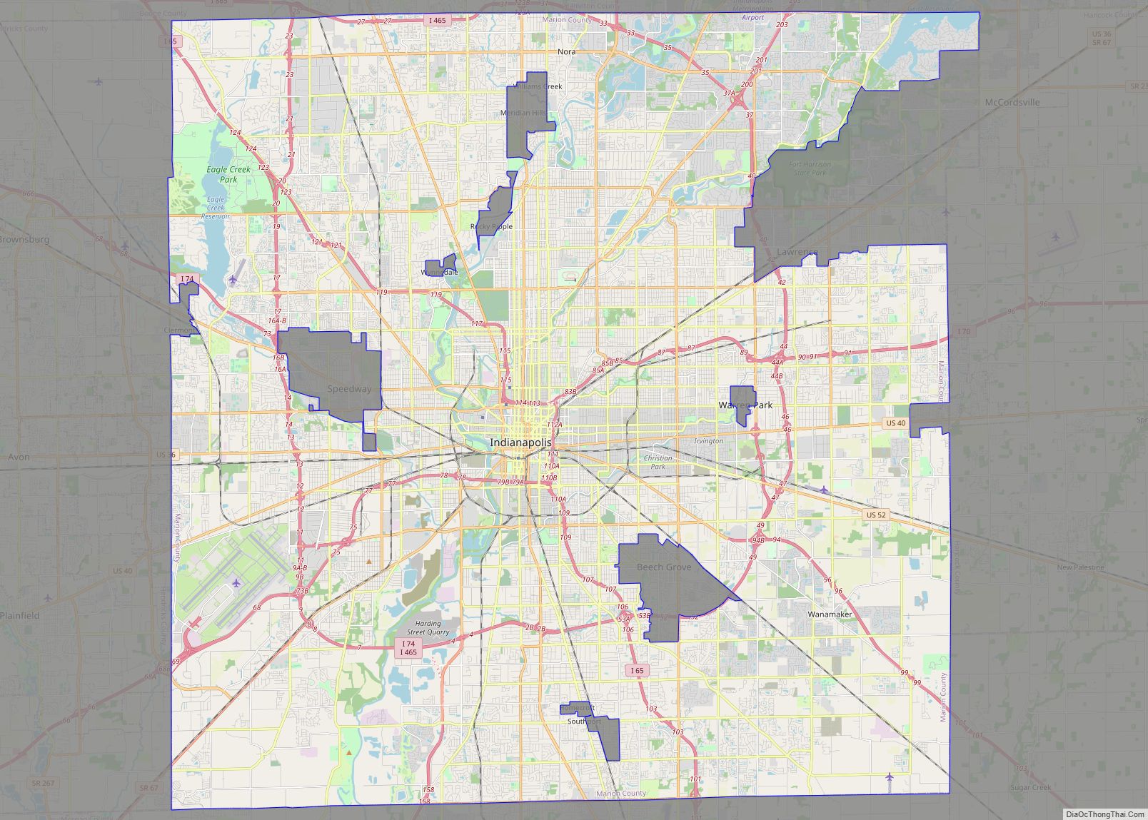
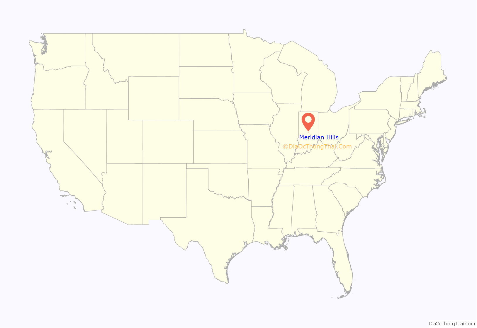
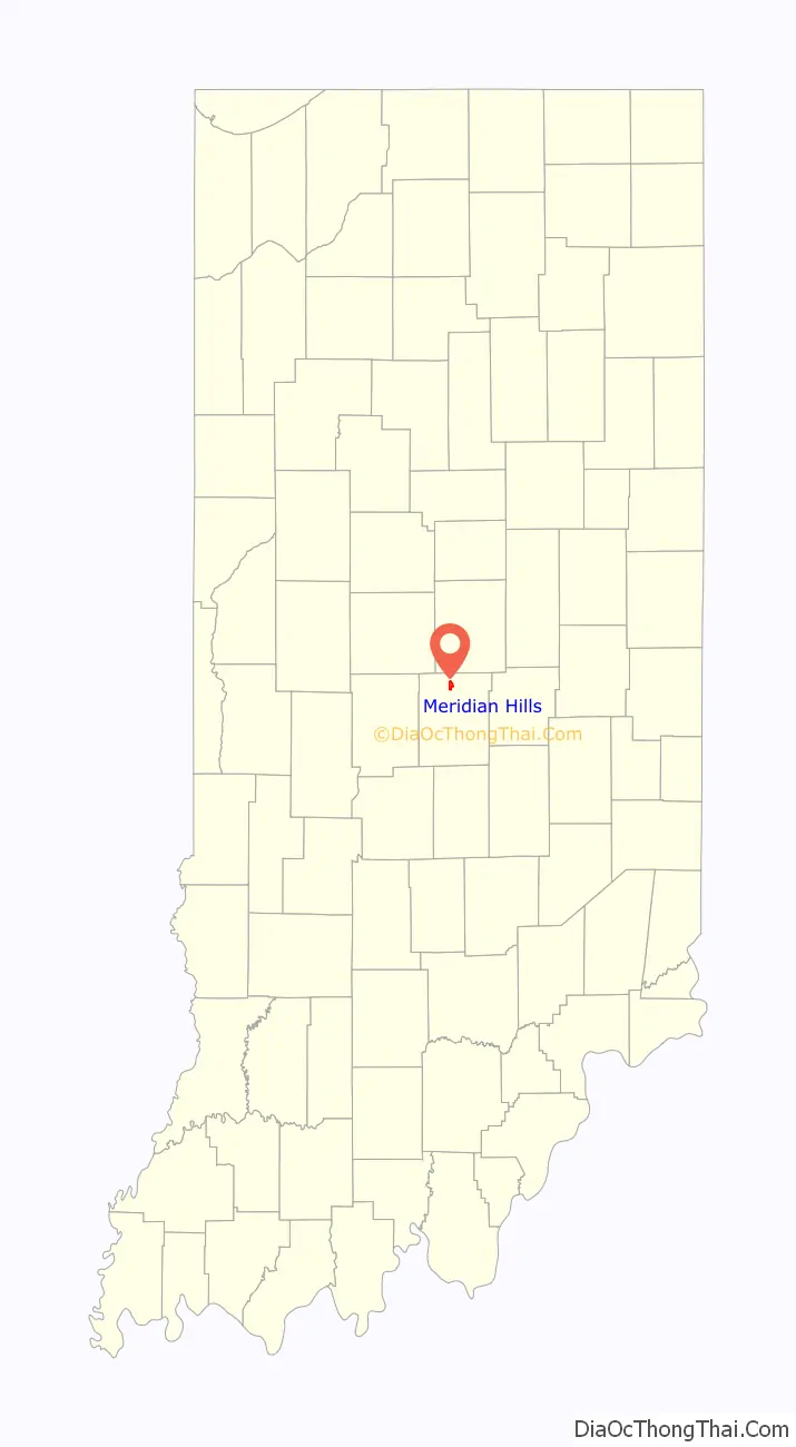
Meridian Hills location map. Where is Meridian Hills town?
History
Residential construction began in the town in the early 1920s, and Meridian Hills Country Club opened in 1923; however, the town did not incorporate until 1937. It has existed as an “included town” since 1970, when it was incorporated into Indianapolis as part of Unigov. It is part of Indianapolis, while still retaining a town government under IC 36-3-2-5. The town has the authority to levy taxes and pass ordinances, as well as appointing town police officers.
Meridian Hills remains a wooded residential enclave for the wealthy and upper-middle class.
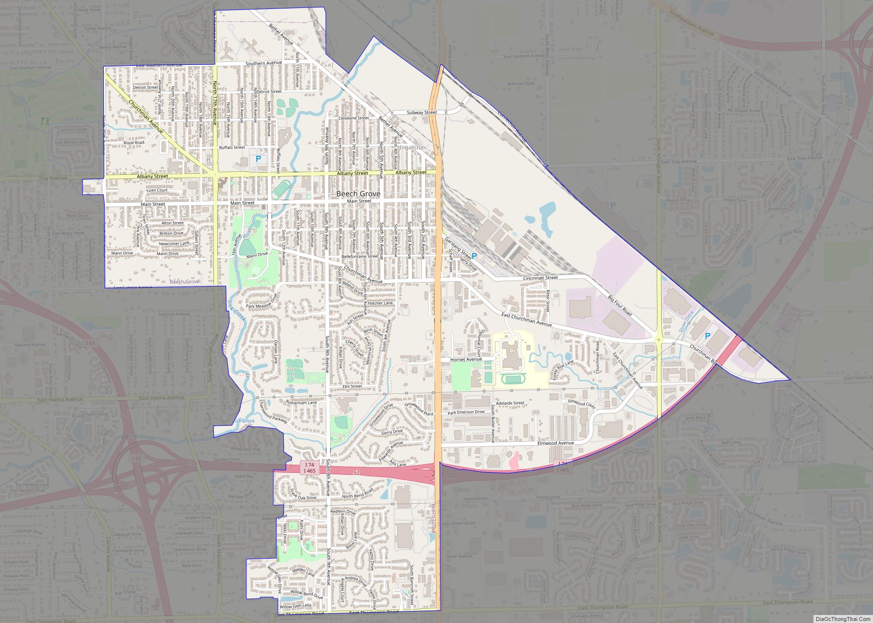
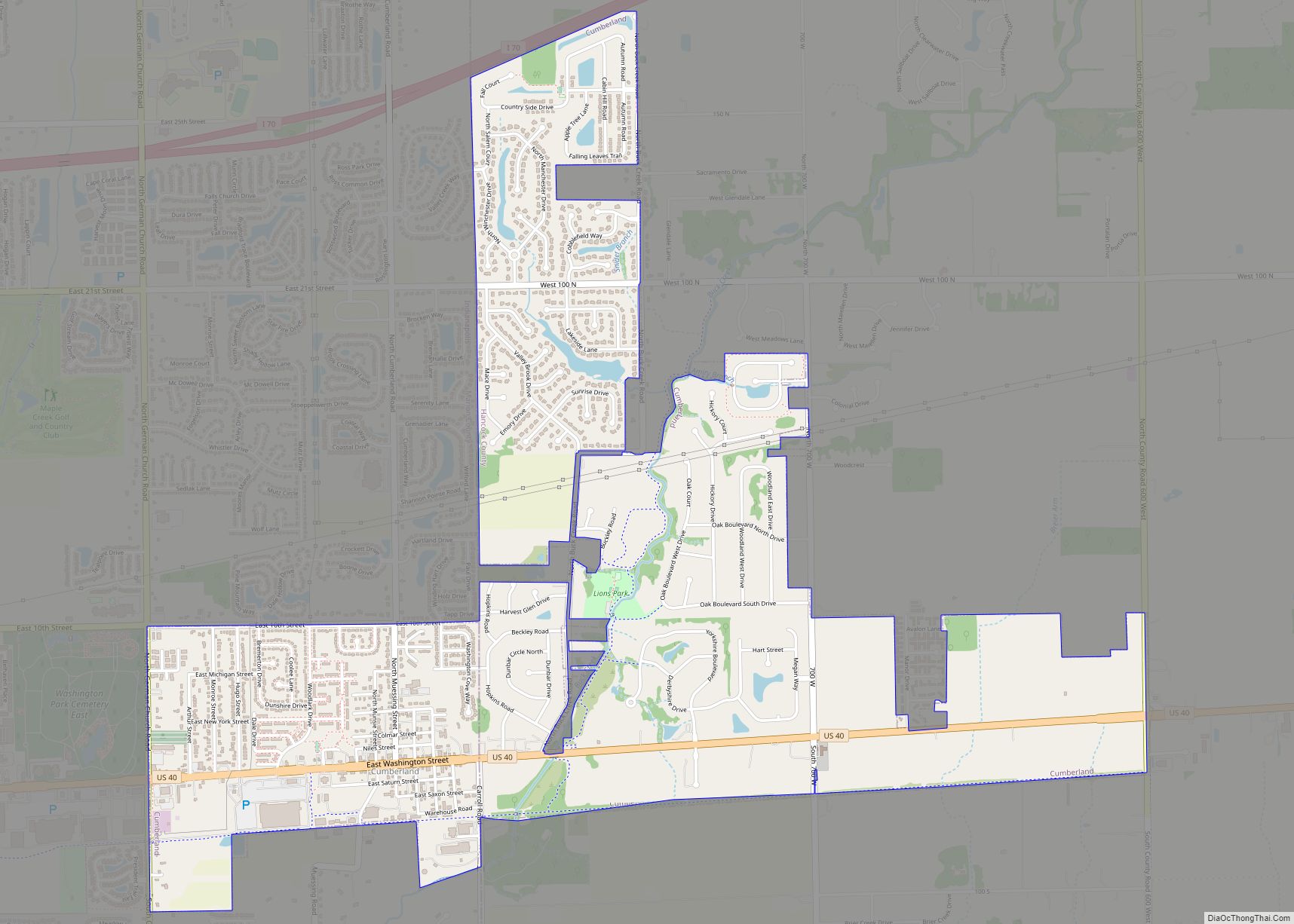
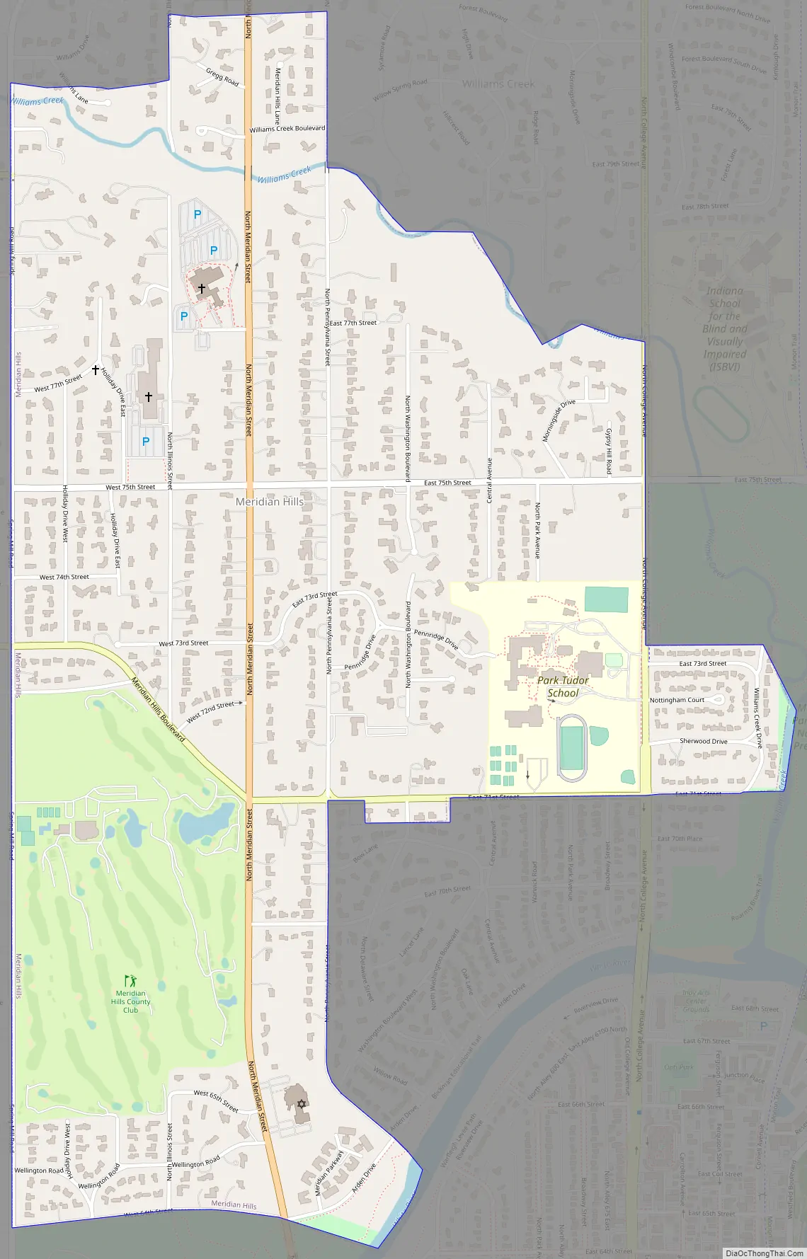
Meridian Hills Road Map
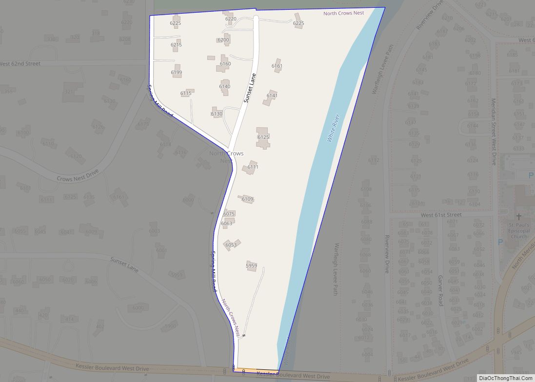
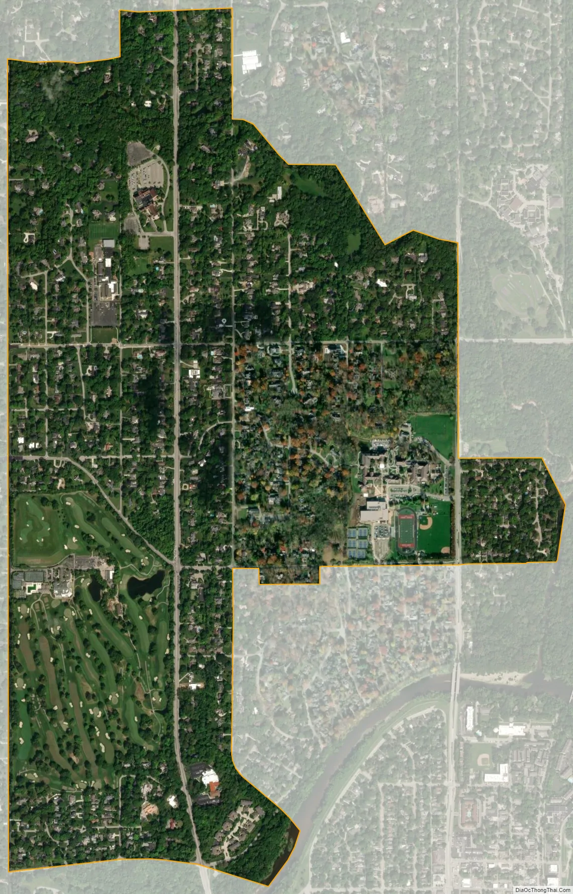
Meridian Hills city Satellite Map
Geography
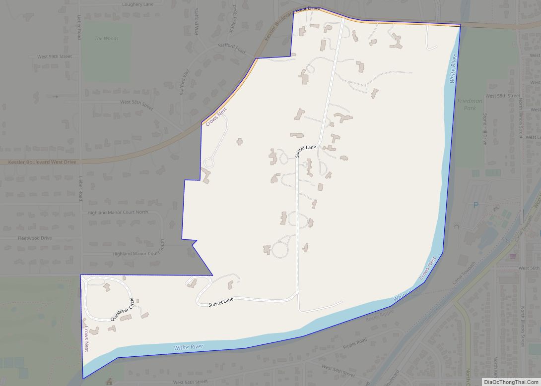
Meridian Hills is located in northern Marion County at 39°53′03″N 86°09′23″W / 39.884040°N 86.156487°W / 39.884040; -86.156487 (39.884040, -86.156487), on high ground overlooking the White River to the southeast and its tributary, Williams Creek, to the northeast. North Meridian Street (former U.S. Route 31) is the main road through the town, leading due south to the center of Indianapolis and north 7 miles (11 km) to Carmel.
According to the U.S. Census Bureau, Meridian Hills has a total area of 1.48 square miles (3.83 km), all land.
See also
Map of Indiana State and its subdivision:- Adams
- Allen
- Bartholomew
- Benton
- Blackford
- Boone
- Brown
- Carroll
- Cass
- Clark
- Clay
- Clinton
- Crawford
- Daviess
- De Kalb
- Dearborn
- Decatur
- Delaware
- Dubois
- Elkhart
- Fayette
- Floyd
- Fountain
- Franklin
- Fulton
- Gibson
- Grant
- Greene
- Hamilton
- Hancock
- Harrison
- Hendricks
- Henry
- Howard
- Huntington
- Jackson
- Jasper
- Jay
- Jefferson
- Jennings
- Johnson
- Knox
- Kosciusko
- LaGrange
- Lake
- Lake Michigan
- LaPorte
- Lawrence
- Madison
- Marion
- Marshall
- Martin
- Miami
- Monroe
- Montgomery
- Morgan
- Newton
- Noble
- Ohio
- Orange
- Owen
- Parke
- Perry
- Pike
- Porter
- Posey
- Pulaski
- Putnam
- Randolph
- Ripley
- Rush
- Saint Joseph
- Scott
- Shelby
- Spencer
- Starke
- Steuben
- Sullivan
- Switzerland
- Tippecanoe
- Tipton
- Union
- Vanderburgh
- Vermillion
- Vigo
- Wabash
- Warren
- Warrick
- Washington
- Wayne
- Wells
- White
- Whitley
- Alabama
- Alaska
- Arizona
- Arkansas
- California
- Colorado
- Connecticut
- Delaware
- District of Columbia
- Florida
- Georgia
- Hawaii
- Idaho
- Illinois
- Indiana
- Iowa
- Kansas
- Kentucky
- Louisiana
- Maine
- Maryland
- Massachusetts
- Michigan
- Minnesota
- Mississippi
- Missouri
- Montana
- Nebraska
- Nevada
- New Hampshire
- New Jersey
- New Mexico
- New York
- North Carolina
- North Dakota
- Ohio
- Oklahoma
- Oregon
- Pennsylvania
- Rhode Island
- South Carolina
- South Dakota
- Tennessee
- Texas
- Utah
- Vermont
- Virginia
- Washington
- West Virginia
- Wisconsin
- Wyoming