Mitchell is a city in Marion Township, Lawrence County, Indiana, United States. The population was 4,350 at the 2010 census.
| Name: | Mitchell city |
|---|---|
| LSAD Code: | 25 |
| LSAD Description: | city (suffix) |
| State: | Indiana |
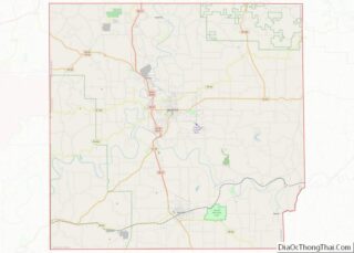
| County: | Lawrence County |
| Elevation: | 682 ft (208 m) |
| Total Area: | 3.60 sq mi (9.32 km²) |
| Land Area: | 3.59 sq mi (9.31 km²) |
| Water Area: | 0.01 sq mi (0.01 km²) 0.30% |
| Total Population: | 3,933 |
| Population Density: | 1,094.32/sq mi (422.57/km²) |
| ZIP code: | 47446 |
| Area code: | 812 |
| FIPS code: | 1849950 |
| GNISfeature ID: | 0439292 |
| Website: | http://www.mitchell-in.gov/ |
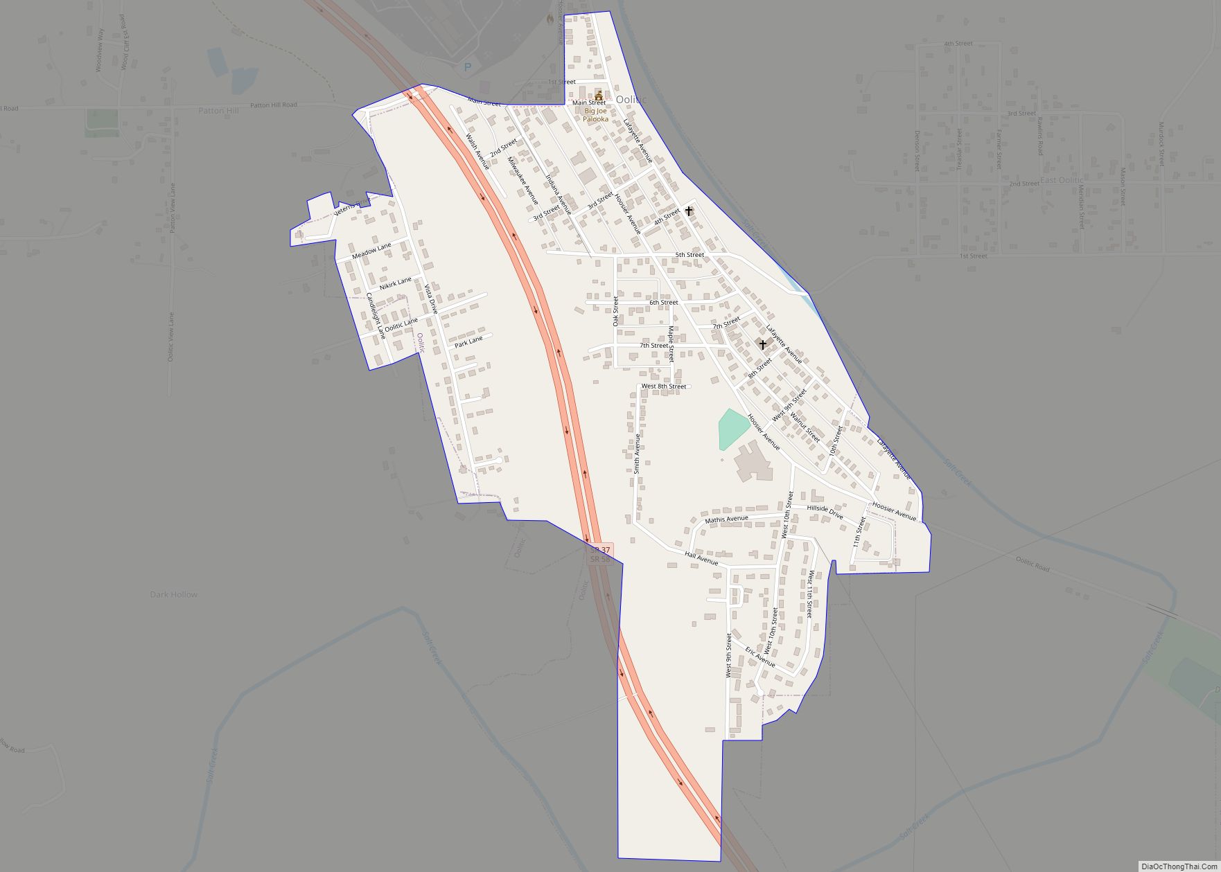
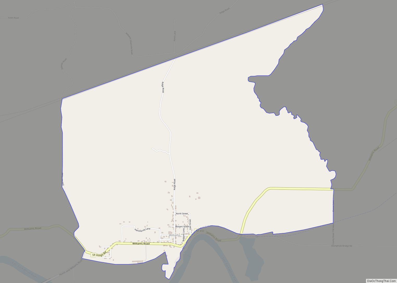
Online Interactive Map
Click on ![]() to view map in "full screen" mode.
to view map in "full screen" mode.
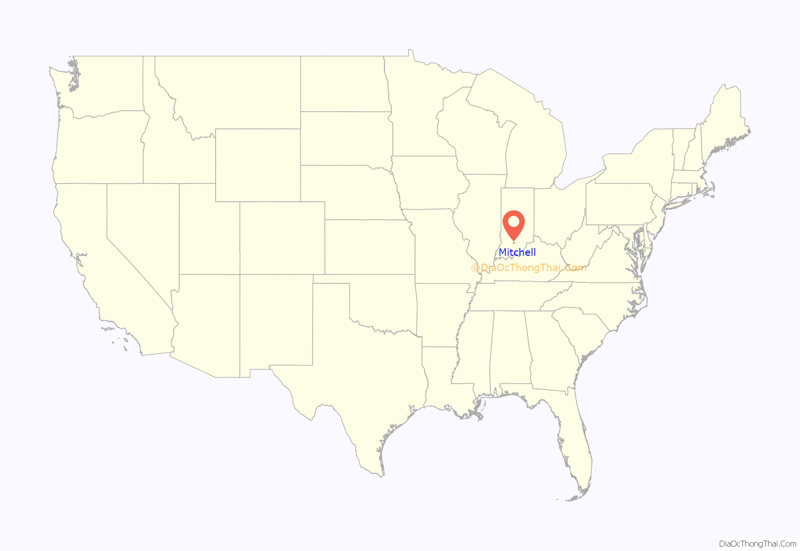
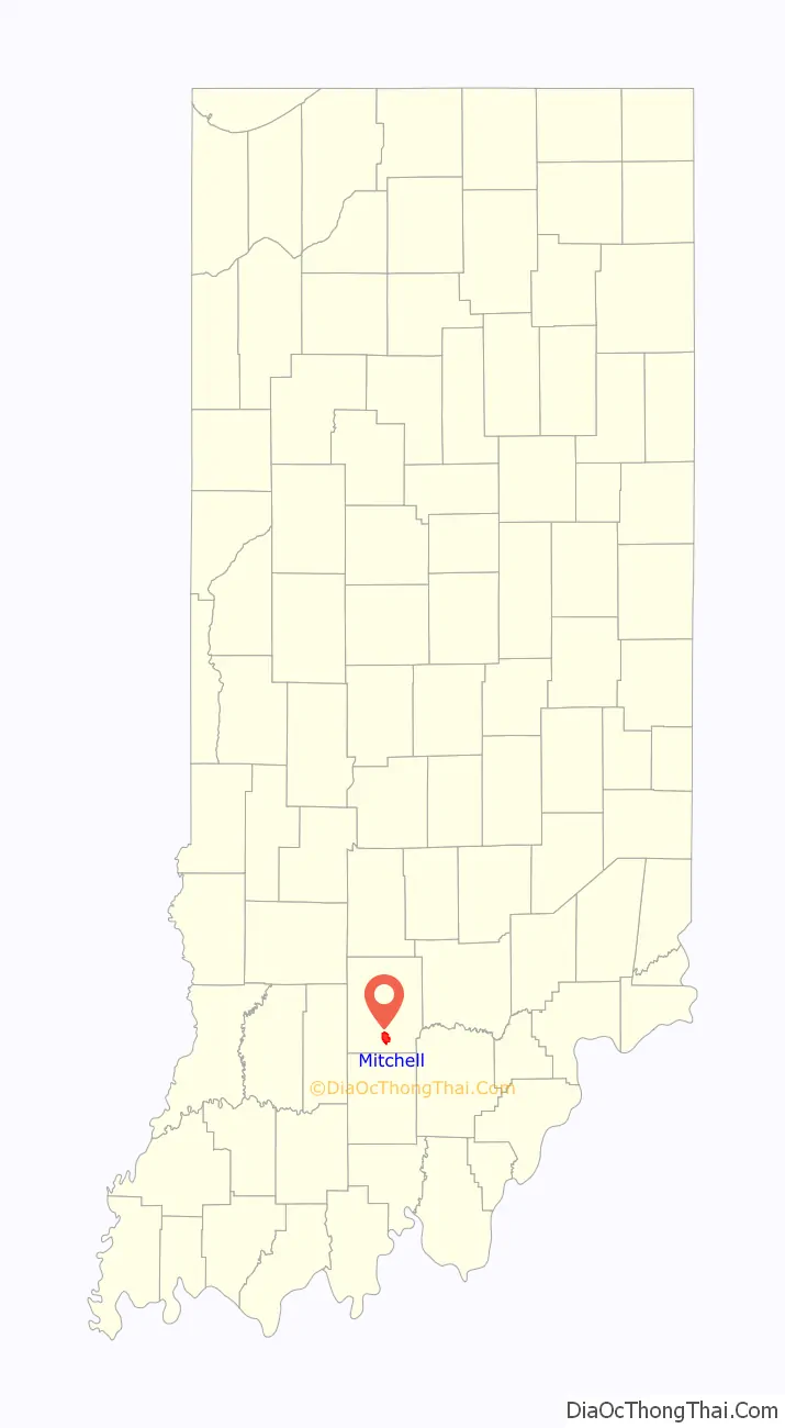
Mitchell location map. Where is Mitchell city?
History
Mitchell was built as a railroad town in the mid-19th century. At this location in Lawrence County, the Chicago, Indianapolis and Louisville Railroad, better known by the shorter name of “the Monon”, was built as a north-south line from New Albany to Chicago, passing through the area which became Mitchell in 1853. In 1857, the east-west Ohio and Mississippi Railway (later part of the Baltimore and Ohio Railroad) was completed, as part of a link between Cincinnati and St. Louis.
At the intersection of the two rail lines, a new town was planned. As the O&M railroad was surveyed, the owners of the land arranged for one of the surveyors, Ormsby McKnight Mitchel (1810–1862), a West Point graduate and professor at the University of Cincinnati, to plat their new town in exchange for naming it for him. (The second “L” in Mitchell was added later.) A native of Kentucky, Ormsby Mitchel grew up in Lebanon, Ohio, and was also an attorney and notable astronomer. He later became a major general in the Union Army during the American Civil War (1861–1865), and is best known for ordering the raid that became famous as the Great Locomotive Chase. He was known as “Old Stars”. General Mitchel died of yellow fever while serving in Beaufort, South Carolina. [1]
The town was incorporated in 1864, becoming a city in 1907. Mitchell hosted a number of manufacturers, including (in 1919) the wagon, truck and bus body enterprises of Ralph H. Carpenter which became known as the Carpenter Body Company. School bus body production continued until 1995.
In 1851, the Mitchell area was the birthplace of outlaw and train robber Sam Bass (1851–1878). He was orphaned at age 13, but was apparently engaged in lawful activities until 1877, when he became an icon of the “wildness” of the American Old West as he robbed banks, stagecoaches and railroad trains before being fatally wounded by Texas Rangers the following year. Despite Bass’ short-lived criminal career, he is remembered as part of a robbery of gold on September 18, 1877 which remains the largest robbery in Union Pacific Railroad’s history.
Mitchell was also the birthplace of astronaut Virgil “Gus” Grissom (1926–1967). A mechanical engineering graduate of Purdue University, he joined the United States Air Force and was selected as a member of NASA’s Project Mercury space program. Gus Grissom was the second American to fly in space on Liberty Bell 7 and also flew aboard Gemini 3. He died in a launch pad fire at Kennedy Space Center in Florida during a training exercise for Apollo 1 on January 27, 1967.
Spring Mill State Park is located just east of Mitchell. It includes a memorial to Grissom as well as several caves and a pioneer village. The buildings in the village are original structures from the former mill town that was located here, recreations of buildings in the town, and other pioneer-era buildings that were moved to the park.
The Monon became part of the Louisville and Nashville Railroad. Both it, and the former B&O are now part of CSX Transportation’s rail network. In modern times, Mitchell is also served by the Union Pacific system.
In the late 20th century, Mitchell’s downtown area was defined as a historic district that was listed on the National Register of Historic Places. The town developed an Urban Enterprise Zone, and industrial park, and at the end of the century, was working to attract new businesses and industry while also capitalizing on its heritage through antique shops and tourism.
The Mitchell Downtown Historic District and Mitchell Opera House are listed in the National Register of Historic Places.
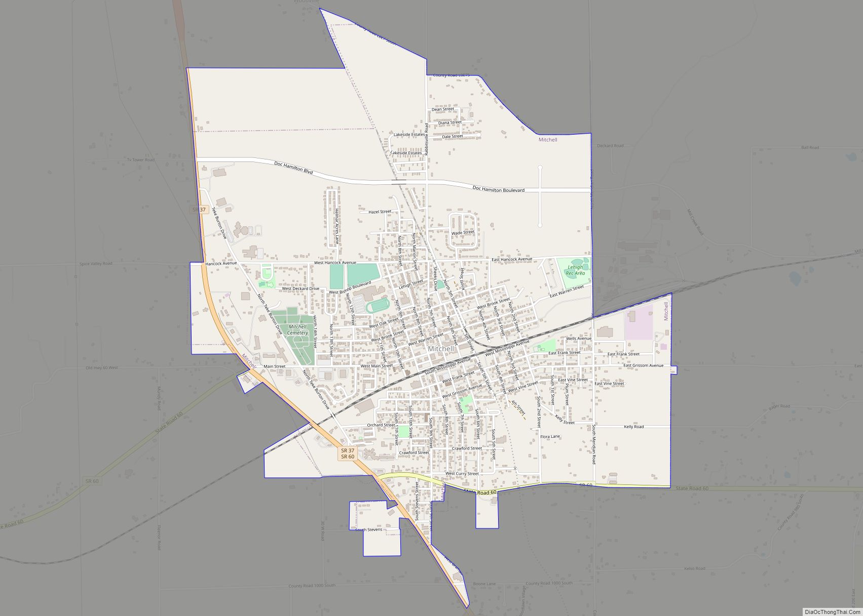
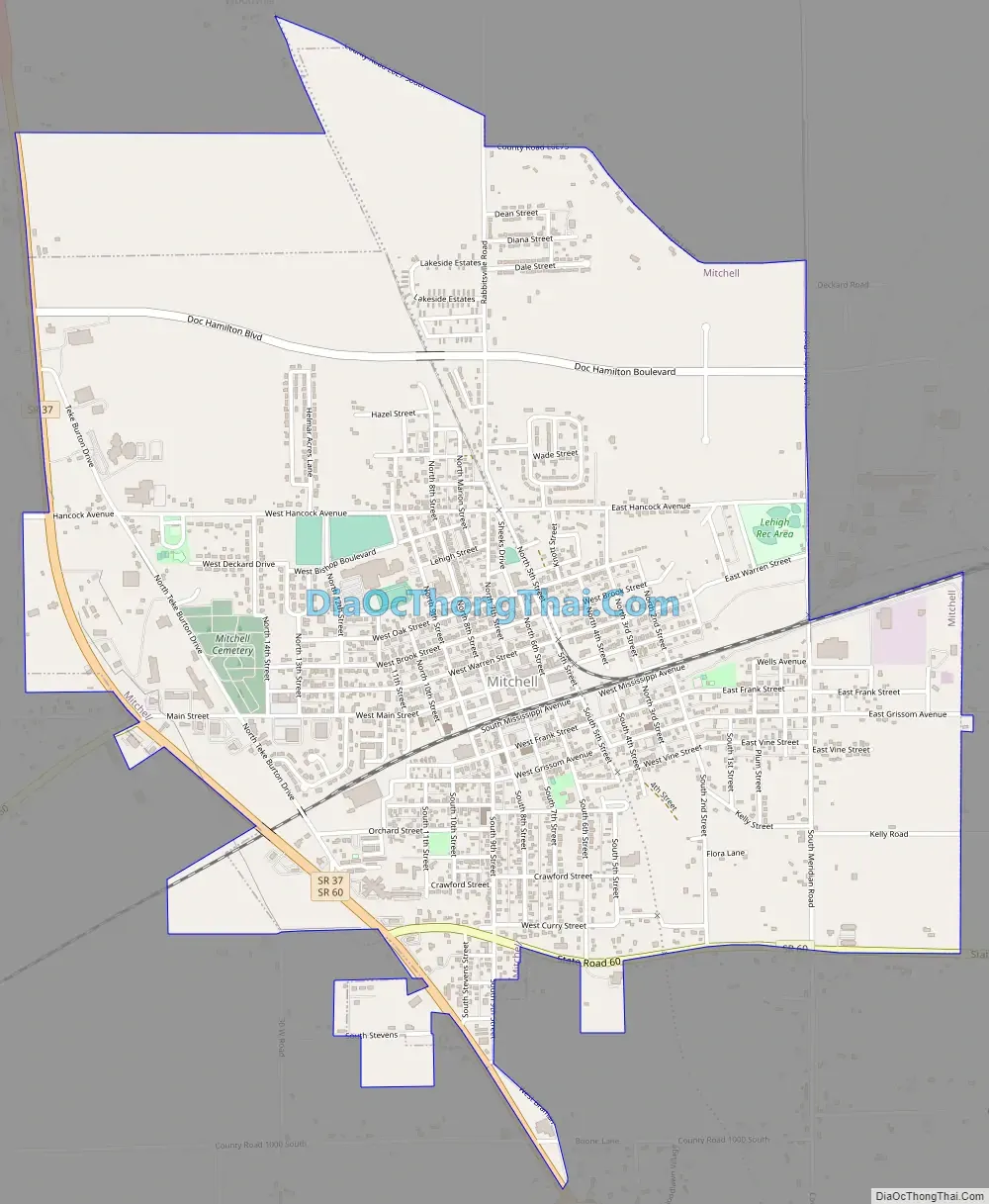
Mitchell Road Map
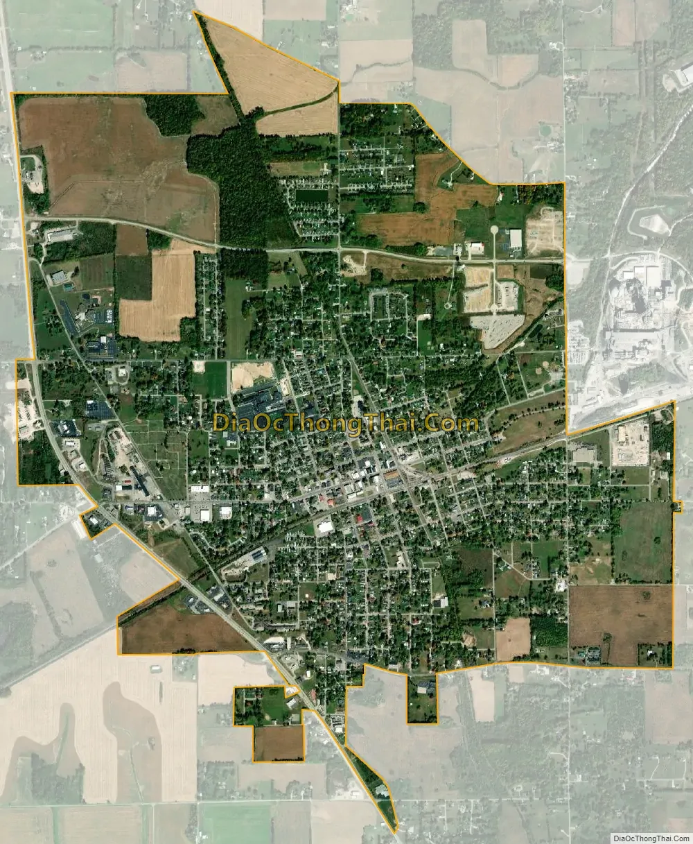
Mitchell city Satellite Map
Geography
According to the 2010 census, Mitchell has a total area of 3.285 square miles (8.51 km), of which 3.28 square miles (8.50 km) (or 99.85%) is land and 0.005 square miles (0.01 km) (or 0.15%) is water.
See also
Map of Indiana State and its subdivision:- Adams
- Allen
- Bartholomew
- Benton
- Blackford
- Boone
- Brown
- Carroll
- Cass
- Clark
- Clay
- Clinton
- Crawford
- Daviess
- De Kalb
- Dearborn
- Decatur
- Delaware
- Dubois
- Elkhart
- Fayette
- Floyd
- Fountain
- Franklin
- Fulton
- Gibson
- Grant
- Greene
- Hamilton
- Hancock
- Harrison
- Hendricks
- Henry
- Howard
- Huntington
- Jackson
- Jasper
- Jay
- Jefferson
- Jennings
- Johnson
- Knox
- Kosciusko
- LaGrange
- Lake
- Lake Michigan
- LaPorte
- Lawrence
- Madison
- Marion
- Marshall
- Martin
- Miami
- Monroe
- Montgomery
- Morgan
- Newton
- Noble
- Ohio
- Orange
- Owen
- Parke
- Perry
- Pike
- Porter
- Posey
- Pulaski
- Putnam
- Randolph
- Ripley
- Rush
- Saint Joseph
- Scott
- Shelby
- Spencer
- Starke
- Steuben
- Sullivan
- Switzerland
- Tippecanoe
- Tipton
- Union
- Vanderburgh
- Vermillion
- Vigo
- Wabash
- Warren
- Warrick
- Washington
- Wayne
- Wells
- White
- Whitley
- Alabama
- Alaska
- Arizona
- Arkansas
- California
- Colorado
- Connecticut
- Delaware
- District of Columbia
- Florida
- Georgia
- Hawaii
- Idaho
- Illinois
- Indiana
- Iowa
- Kansas
- Kentucky
- Louisiana
- Maine
- Maryland
- Massachusetts
- Michigan
- Minnesota
- Mississippi
- Missouri
- Montana
- Nebraska
- Nevada
- New Hampshire
- New Jersey
- New Mexico
- New York
- North Carolina
- North Dakota
- Ohio
- Oklahoma
- Oregon
- Pennsylvania
- Rhode Island
- South Carolina
- South Dakota
- Tennessee
- Texas
- Utah
- Vermont
- Virginia
- Washington
- West Virginia
- Wisconsin
- Wyoming