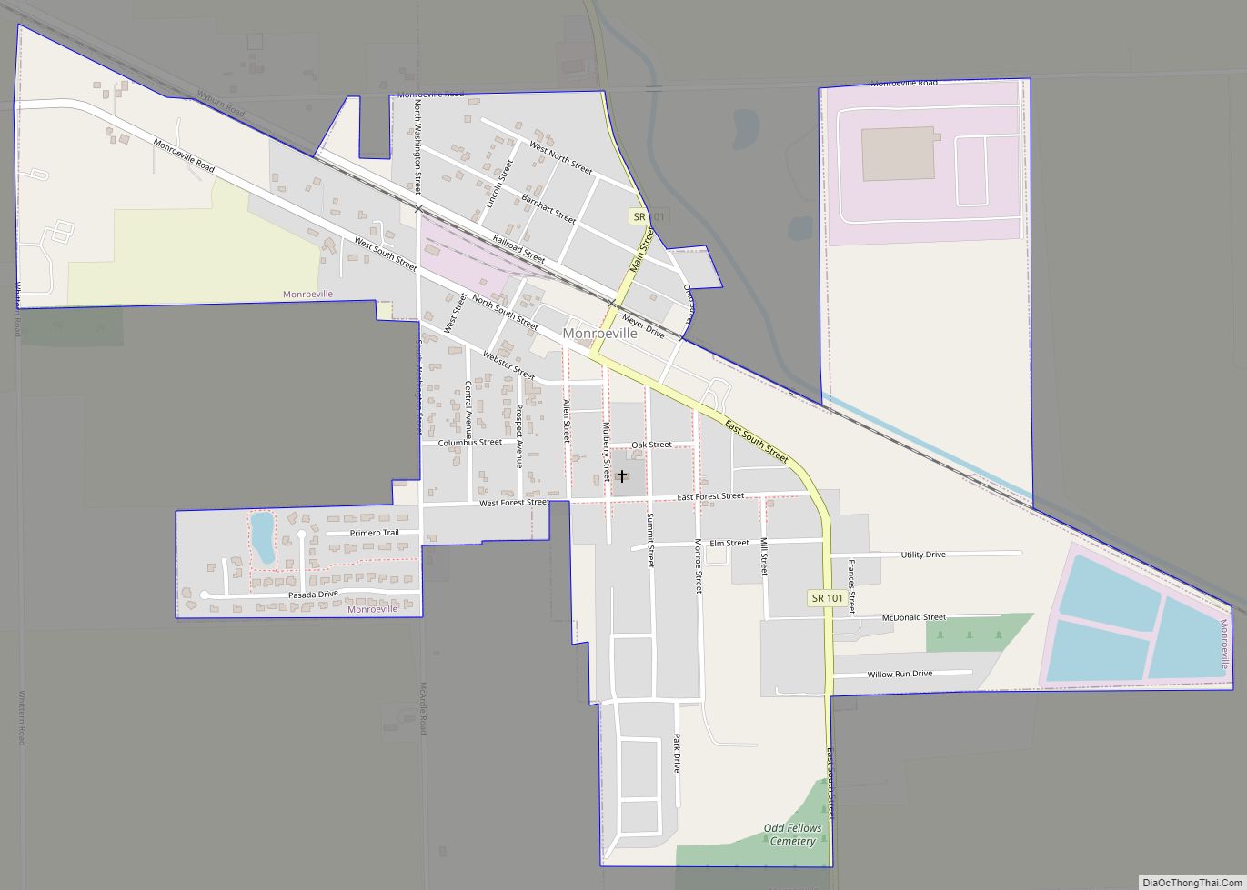
Monroeville is a town in Monroe Township, Allen County, Indiana, United States. The population was 1,235 as of the 2010 census.
| Name: | Monroeville town |
|---|---|
| LSAD Code: | 43 |
| LSAD Description: | town (suffix) |
| State: | Indiana |
| County: | Allen County |
| Elevation: | 787 ft (240 m) |
| Total Area: | 0.79 sq mi (2.05 km²) |
| Land Area: | 0.79 sq mi (2.05 km²) |
| Water Area: | 0.00 sq mi (0.00 km²) |
| Total Population: | 1,294 |
| Population Density: | 1,633.84/sq mi (630.82/km²) |
| ZIP code: | 46773 |
| Area code: | 260 |
| FIPS code: | 1850562 |
| GNISfeature ID: | 0439348 |
Online Interactive Map
Click on ![]() to view map in "full screen" mode.
to view map in "full screen" mode.
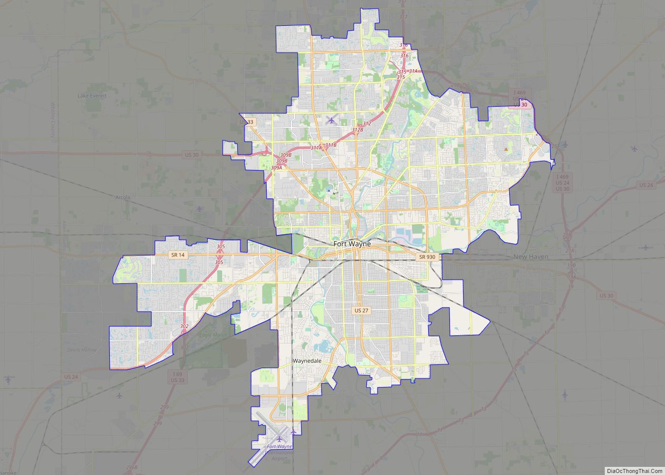
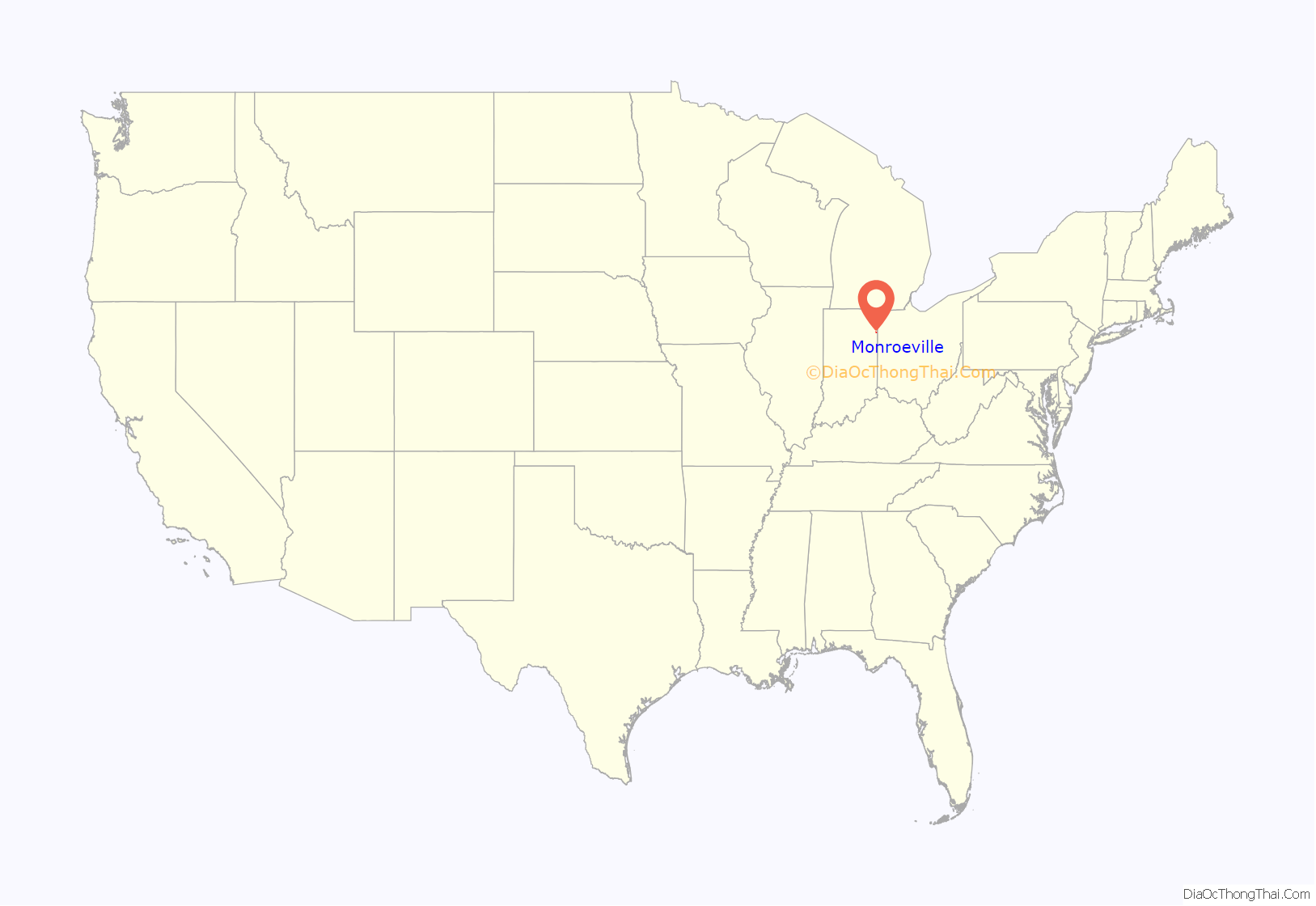
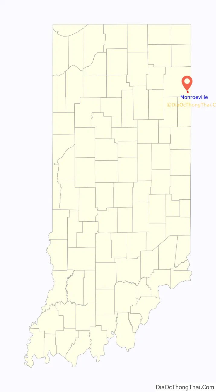
Monroeville location map. Where is Monroeville town?
History
Monroeville was platted in 1851. It was named from Monroe Township. A post office was established at Monroeville in 1856.
Monroeville Road Map
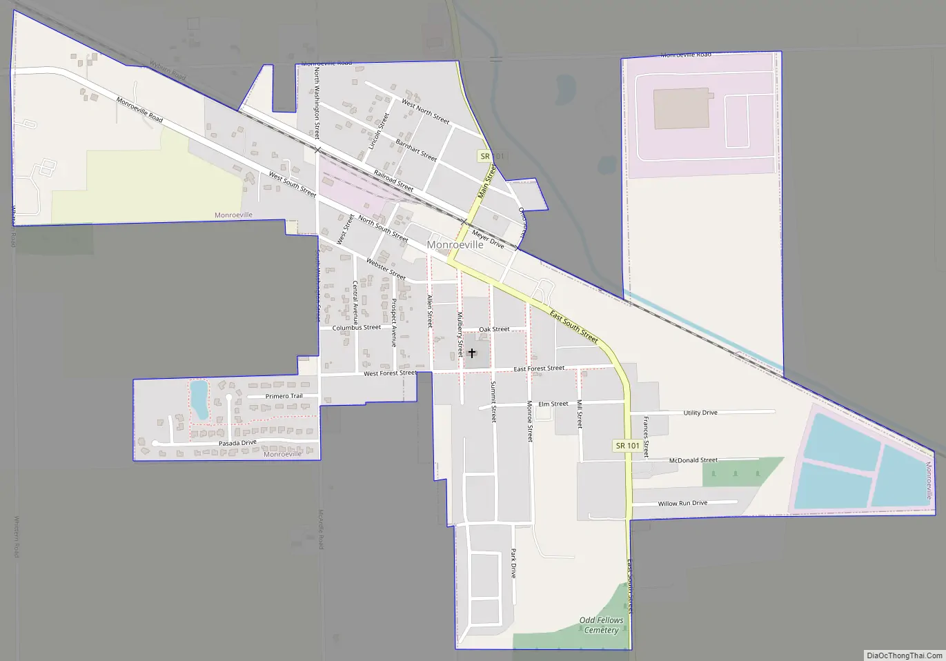
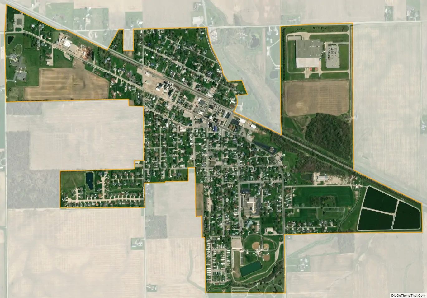
Monroeville city Satellite Map
Geography
Monroeville is located at 40°58′22″N 84°52′7″W / 40.97278°N 84.86861°W / 40.97278; -84.86861 (40.972799, -84.868598).
According to the 2010 census, Monroeville has a total area of 0.74 square miles (1.92 km), all land.
See also
Map of Indiana State and its subdivision:- Adams
- Allen
- Bartholomew
- Benton
- Blackford
- Boone
- Brown
- Carroll
- Cass
- Clark
- Clay
- Clinton
- Crawford
- Daviess
- De Kalb
- Dearborn
- Decatur
- Delaware
- Dubois
- Elkhart
- Fayette
- Floyd
- Fountain
- Franklin
- Fulton
- Gibson
- Grant
- Greene
- Hamilton
- Hancock
- Harrison
- Hendricks
- Henry
- Howard
- Huntington
- Jackson
- Jasper
- Jay
- Jefferson
- Jennings
- Johnson
- Knox
- Kosciusko
- LaGrange
- Lake
- Lake Michigan
- LaPorte
- Lawrence
- Madison
- Marion
- Marshall
- Martin
- Miami
- Monroe
- Montgomery
- Morgan
- Newton
- Noble
- Ohio
- Orange
- Owen
- Parke
- Perry
- Pike
- Porter
- Posey
- Pulaski
- Putnam
- Randolph
- Ripley
- Rush
- Saint Joseph
- Scott
- Shelby
- Spencer
- Starke
- Steuben
- Sullivan
- Switzerland
- Tippecanoe
- Tipton
- Union
- Vanderburgh
- Vermillion
- Vigo
- Wabash
- Warren
- Warrick
- Washington
- Wayne
- Wells
- White
- Whitley
- Alabama
- Alaska
- Arizona
- Arkansas
- California
- Colorado
- Connecticut
- Delaware
- District of Columbia
- Florida
- Georgia
- Hawaii
- Idaho
- Illinois
- Indiana
- Iowa
- Kansas
- Kentucky
- Louisiana
- Maine
- Maryland
- Massachusetts
- Michigan
- Minnesota
- Mississippi
- Missouri
- Montana
- Nebraska
- Nevada
- New Hampshire
- New Jersey
- New Mexico
- New York
- North Carolina
- North Dakota
- Ohio
- Oklahoma
- Oregon
- Pennsylvania
- Rhode Island
- South Carolina
- South Dakota
- Tennessee
- Texas
- Utah
- Vermont
- Virginia
- Washington
- West Virginia
- Wisconsin
- Wyoming