New Palestine (pronounced PAL-es-tēn) is a town in Sugar Creek Township, Hancock County, Indiana, along Sugar Creek. The population was 2,055 at the 2010 census.
| Name: | New Palestine town |
|---|---|
| LSAD Code: | 43 |
| LSAD Description: | town (suffix) |
| State: | Indiana |
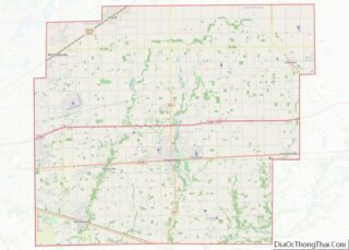
| County: | Hancock County |
| Elevation: | 837 ft (255 m) |
| Total Area: | 1.99 sq mi (5.15 km²) |
| Land Area: | 1.98 sq mi (5.13 km²) |
| Water Area: | 0.01 sq mi (0.02 km²) |
| Total Population: | 2,744 |
| Population Density: | 1,385.86/sq mi (534.96/km²) |
| ZIP code: | 46163 |
| Area code: | 317 |
| FIPS code: | 1853352 |
| GNISfeature ID: | 0440091 |
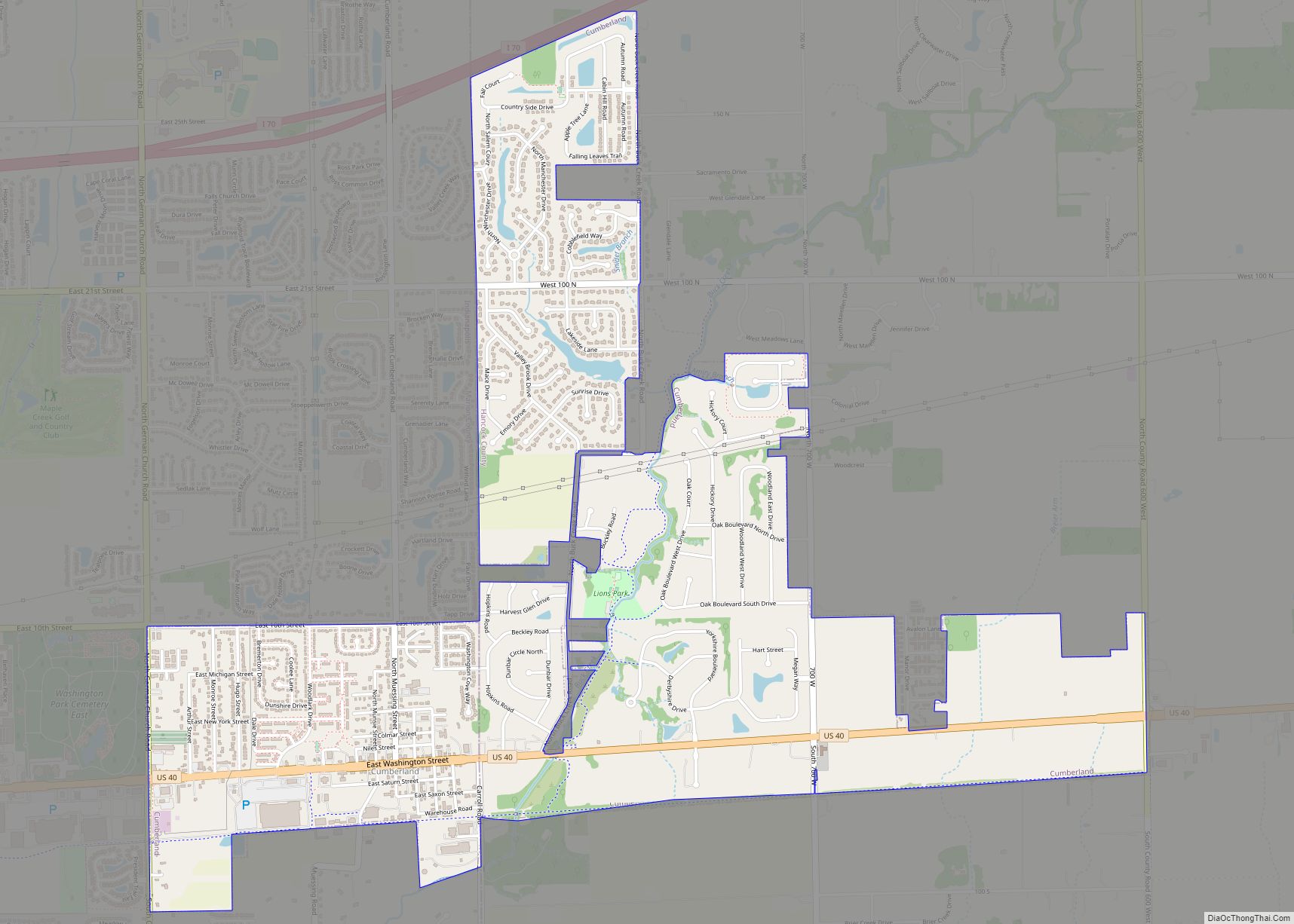
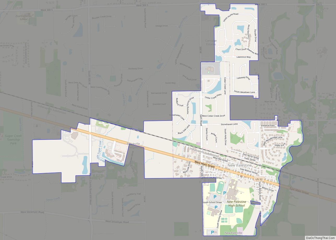
Online Interactive Map
Click on ![]() to view map in "full screen" mode.
to view map in "full screen" mode.
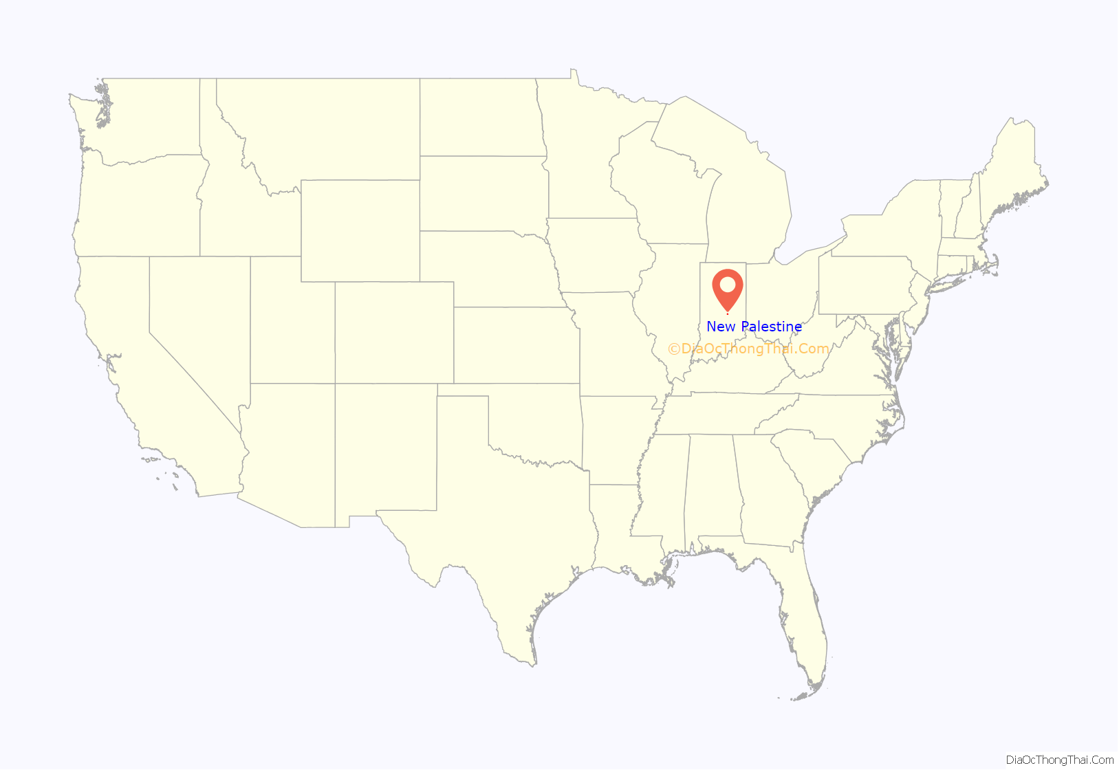
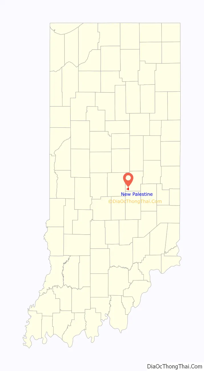
New Palestine location map. Where is New Palestine town?
History
New Palestine was laid out October 1, 1838, by Jonathan Evans. It first consisted of fifteen blocks and thirty six lots. A petition for the incorporation of New Palestine as a town was dated May 22, 1871, and presented to the board of county commissioners at the June session of 1871. At the time of the petition, New Palestine had a population of around 669 people. The vote for incorporation was held on June 24, 1871. Many years after incorporation, the town had difficulty with its name. The post office was known as Sugar Creek, the railroad and express stations as Palestine and the name of the town itself was New Palestine. Through the efforts of E.F. Faut and Congressman Bynum, the name of the post office was changed from Sugar Creek to New Palestine on January 16, 1889, and the name of the railroad station and express office were also changed to New Palestine.
New Palestine Road Map
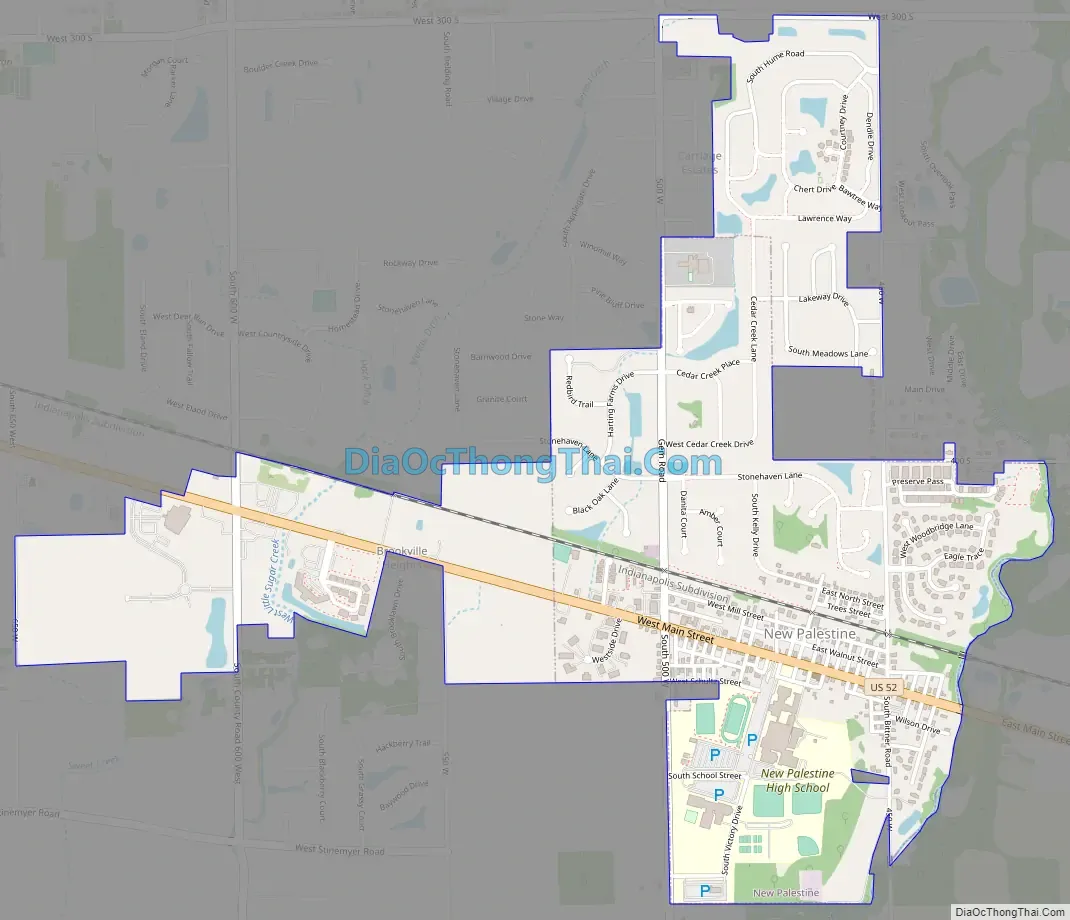
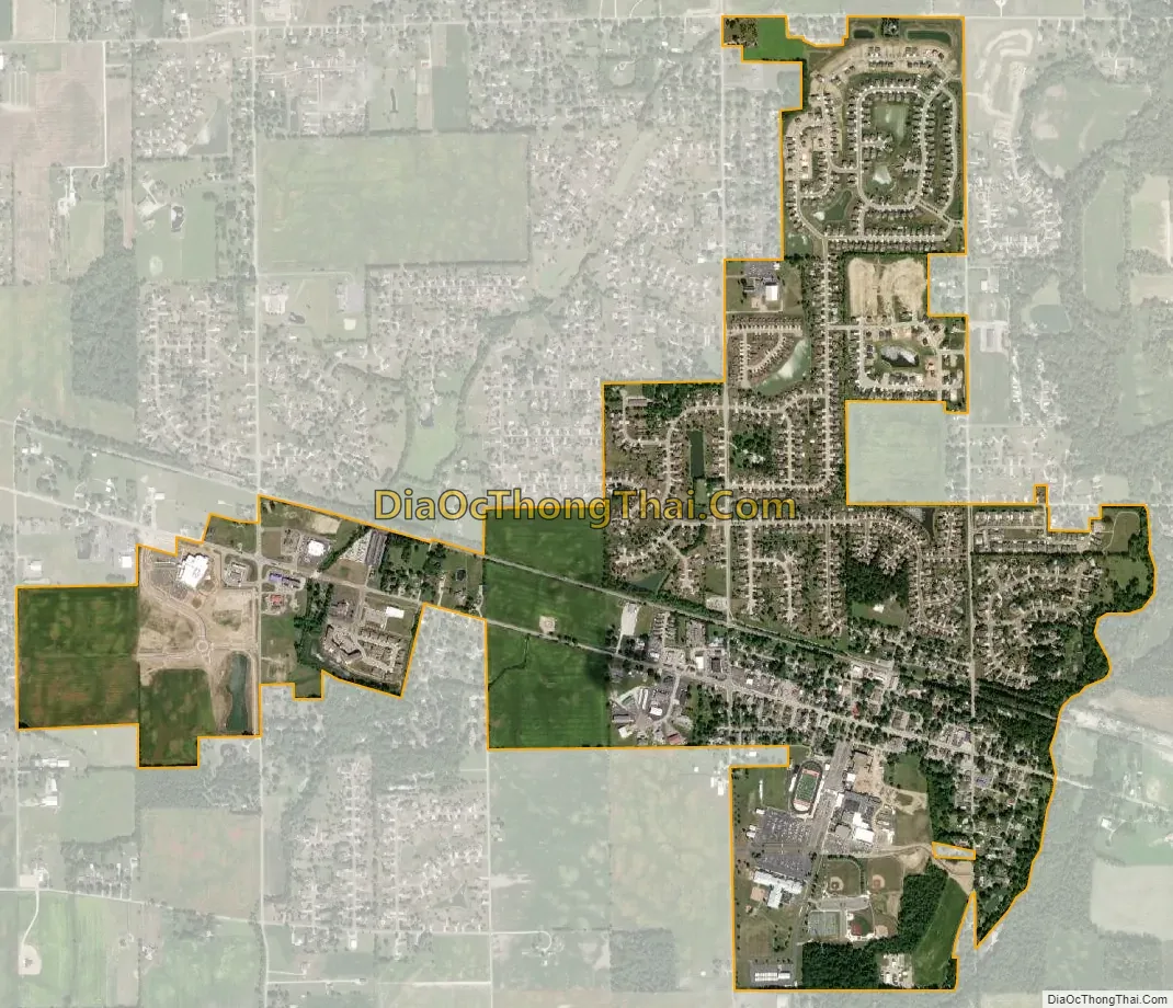
New Palestine city Satellite Map
Geography
According to the 2010 census, New Palestine has a total area of 1.09 square miles (2.82 km), all land.
See also
Map of Indiana State and its subdivision:- Adams
- Allen
- Bartholomew
- Benton
- Blackford
- Boone
- Brown
- Carroll
- Cass
- Clark
- Clay
- Clinton
- Crawford
- Daviess
- De Kalb
- Dearborn
- Decatur
- Delaware
- Dubois
- Elkhart
- Fayette
- Floyd
- Fountain
- Franklin
- Fulton
- Gibson
- Grant
- Greene
- Hamilton
- Hancock
- Harrison
- Hendricks
- Henry
- Howard
- Huntington
- Jackson
- Jasper
- Jay
- Jefferson
- Jennings
- Johnson
- Knox
- Kosciusko
- LaGrange
- Lake
- Lake Michigan
- LaPorte
- Lawrence
- Madison
- Marion
- Marshall
- Martin
- Miami
- Monroe
- Montgomery
- Morgan
- Newton
- Noble
- Ohio
- Orange
- Owen
- Parke
- Perry
- Pike
- Porter
- Posey
- Pulaski
- Putnam
- Randolph
- Ripley
- Rush
- Saint Joseph
- Scott
- Shelby
- Spencer
- Starke
- Steuben
- Sullivan
- Switzerland
- Tippecanoe
- Tipton
- Union
- Vanderburgh
- Vermillion
- Vigo
- Wabash
- Warren
- Warrick
- Washington
- Wayne
- Wells
- White
- Whitley
- Alabama
- Alaska
- Arizona
- Arkansas
- California
- Colorado
- Connecticut
- Delaware
- District of Columbia
- Florida
- Georgia
- Hawaii
- Idaho
- Illinois
- Indiana
- Iowa
- Kansas
- Kentucky
- Louisiana
- Maine
- Maryland
- Massachusetts
- Michigan
- Minnesota
- Mississippi
- Missouri
- Montana
- Nebraska
- Nevada
- New Hampshire
- New Jersey
- New Mexico
- New York
- North Carolina
- North Dakota
- Ohio
- Oklahoma
- Oregon
- Pennsylvania
- Rhode Island
- South Carolina
- South Dakota
- Tennessee
- Texas
- Utah
- Vermont
- Virginia
- Washington
- West Virginia
- Wisconsin
- Wyoming