New Pekin is a town in Pierce and Polk townships, Washington County, Indiana, United States. The population was 1,401 at the 2010 census.
| Name: | New Pekin town |
|---|---|
| LSAD Code: | 43 |
| LSAD Description: | town (suffix) |
| State: | Indiana |
| County: | Washington County |
| Elevation: | 709 ft (216 m) |
| Total Area: | 2.40 sq mi (6.23 km²) |
| Land Area: | 2.38 sq mi (6.17 km²) |
| Water Area: | 0.02 sq mi (0.06 km²) |
| Total Population: | 1,323 |
| Population Density: | 555.18/sq mi (214.39/km²) |
| FIPS code: | 1853388 |
| GNISfeature ID: | 440094 |
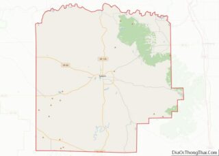
Online Interactive Map
Click on ![]() to view map in "full screen" mode.
to view map in "full screen" mode.
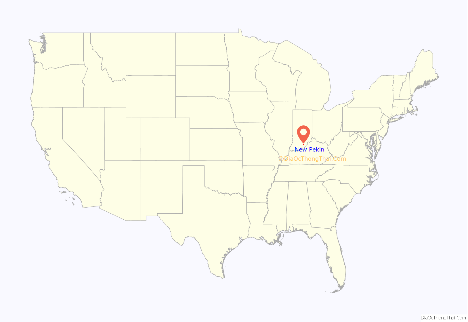
New Pekin location map. Where is New Pekin town?
History
The land for the town of New Pekin was first entered on August 25, 1818. The original town plat was made on December 23, 1883, by W. A. Graves. The town of New Pekin was incorporated in 1903 to provide funds to build and operate a school.
The New Pekin post office has been in operation since 1840.
“Old” Pekin
On September 29, 1819, Isaac Davis entered section 30 in what was to become Polk Township. Several years later, in 1831, Christian Bixler laid out the town of Pekin on the south side of Mutton Fork, Blue River.
Before 1831, there were several buildings at this location. As early as 1830, stagecoaches were making regular runs between Jeffersonville and Salem. A wagon route between Salem and New Albany also passed through this area. Pekin was a staging stop where horses were watered and changed.
The town prospered until 1851, when the railroad was completed. The train station was built on the more level north side of the Blue River. Businesses gradually migrated to the new location. In 1854 the County Commissioners declared the town vacant and the area became known as Old Pekin.
Fourth of July celebration
The town of New Pekin claims the distinction of having the oldest consecutive Independence Day celebration in the United States of America. Pekin began celebrating Independence Day in the year 1830. However, Bristol, Rhode Island claims to have celebrated since 1785.
Few historical facts about the earliest celebrations exist, with the information available coming from oral tradition. The first several celebrations were said to be neighborhood affairs, though it is assumed that it did not stay that way for long. Many families lived in the surrounding townships and there were few social activities.
Various sources recount that the celebration was held near Old Pekin from 1830 until 1856. Around 1857, the celebration was moved to near the Blue River, where festivities were held until 1885. In either 1872 or 1873, the picnic was held at the farm of James Campbell, where he had built a recreational area.
The fall of 1884 saw the completion of the fairgrounds. The following year, the celebration was moved to the new fairgrounds. Many local residents did not agree with the celebration being moved there and held a second celebration at Tash Grove.
In 1909, the Gill brothers bought the southern part of the old fairgrounds, which became known as Gill’s Grove. This became the present location of the Pekin Community Park, where the celebration has been held every year since.
Today the celebration consists of a fireworks display, a parade, live bands, three-on-three basketball tournament, carnival, food vendors, a flea market, reading of the United States Declaration of Independence, prince and princess contest, horseshoe pitching contest, a queen contest, cookouts and many other small celebrations around the town of Pekin.
Former Indiana Rep. Mike Sodrel said in 2006, “If Norman Rockwell’s America exists anywhere today, it has to be in the 9th District of Indiana. There is nothing that I can think of that is more Americana and Rockwellesque than the Independence Day parade in Pekin.”
Morgan’s Raid
On July 11, 1863, while crossing Blue River near New Pekin, Captain William J. Davis of Morgan’s Raid and some of his men were captured by 73rd Indiana Volunteers and a detachment of the 5th U.S. Regulars. Captain Davis and several other soldiers were taken to New Albany, Indiana, and secured in the county jail.
2012 tornado
On March 2, 2012, an EF4 tornado hit New Pekin. All five fatalities in Washington County occurred in New Pekin. Debris from New Pekin was found 160 miles away in Pleasant Plain, Ohio.
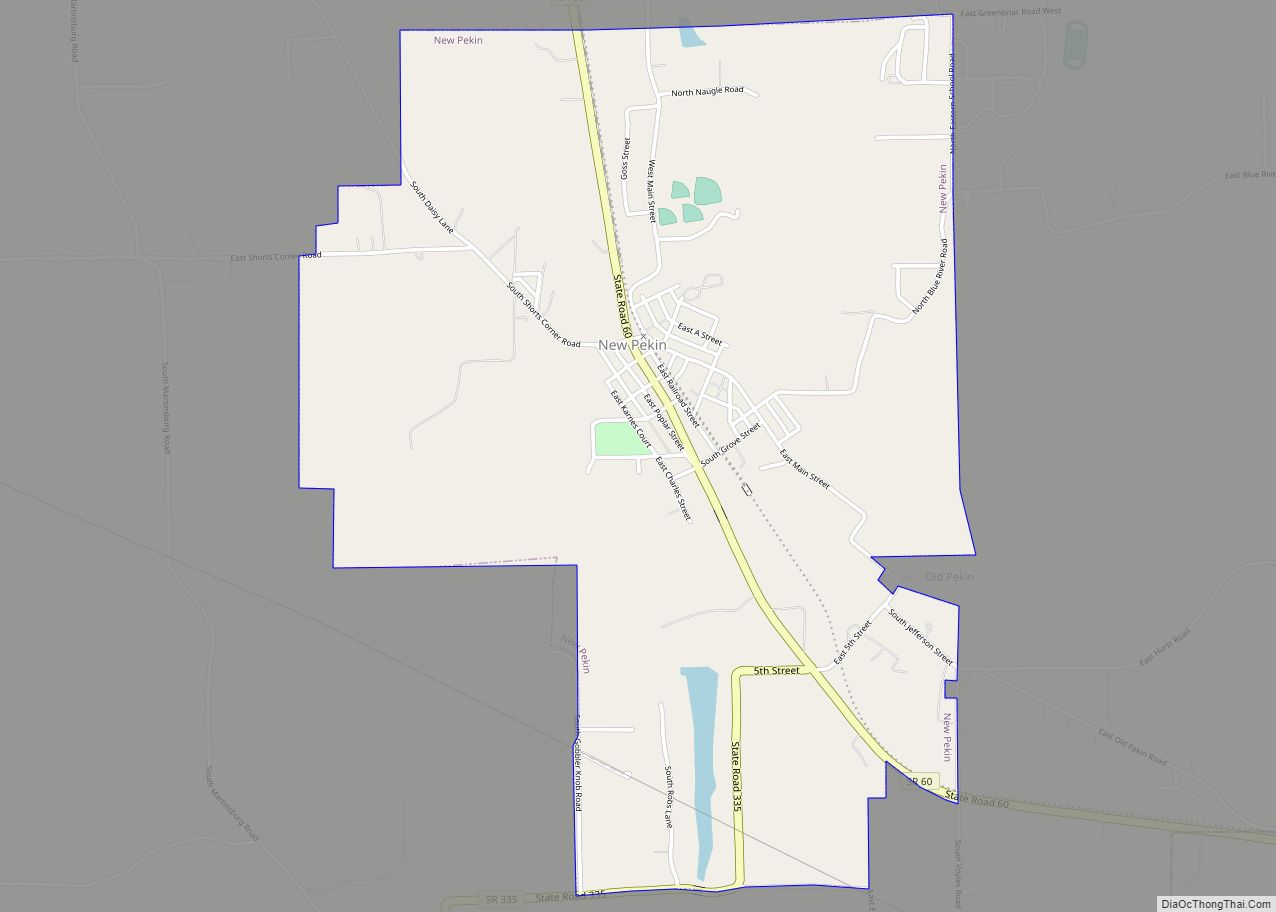
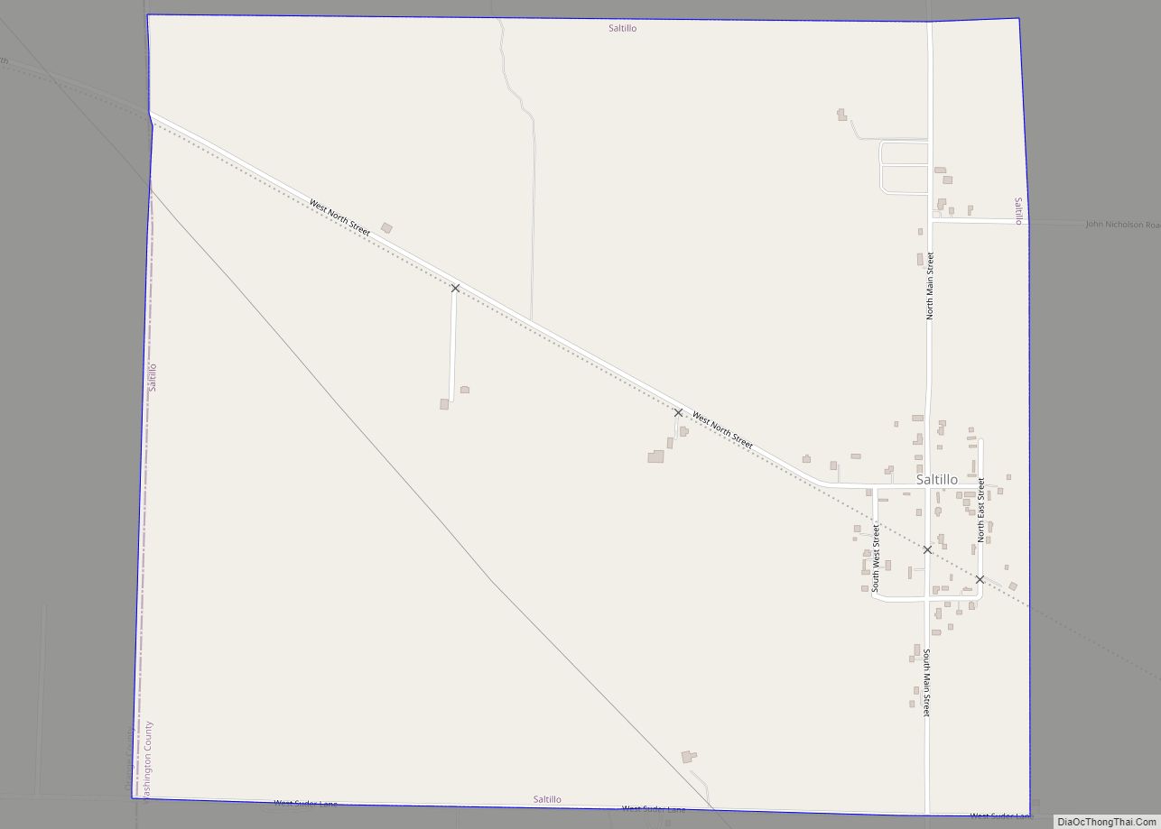
New Pekin Road Map
New Pekin city Satellite Map
Geography
New Pekin is located at 38°30′13″N 86°0′53″W / 38.50361°N 86.01472°W / 38.50361; -86.01472 (38.503585, -86.014816).
According to the 2010 census, New Pekin has a total area of 2.4 square miles (6.22 km), of which 2.37 square miles (6.14 km) (or 98.75%) is land and 0.03 square miles (0.08 km) (or 1.25%) is water.
Climate
The climate in this area is characterized by hot, humid summers and generally mild to cool winters. According to the Köppen Climate Classification system, New Pekin has a humid subtropical climate, abbreviated “Cfa” on climate maps.
See also
Map of Indiana State and its subdivision:- Adams
- Allen
- Bartholomew
- Benton
- Blackford
- Boone
- Brown
- Carroll
- Cass
- Clark
- Clay
- Clinton
- Crawford
- Daviess
- De Kalb
- Dearborn
- Decatur
- Delaware
- Dubois
- Elkhart
- Fayette
- Floyd
- Fountain
- Franklin
- Fulton
- Gibson
- Grant
- Greene
- Hamilton
- Hancock
- Harrison
- Hendricks
- Henry
- Howard
- Huntington
- Jackson
- Jasper
- Jay
- Jefferson
- Jennings
- Johnson
- Knox
- Kosciusko
- LaGrange
- Lake
- Lake Michigan
- LaPorte
- Lawrence
- Madison
- Marion
- Marshall
- Martin
- Miami
- Monroe
- Montgomery
- Morgan
- Newton
- Noble
- Ohio
- Orange
- Owen
- Parke
- Perry
- Pike
- Porter
- Posey
- Pulaski
- Putnam
- Randolph
- Ripley
- Rush
- Saint Joseph
- Scott
- Shelby
- Spencer
- Starke
- Steuben
- Sullivan
- Switzerland
- Tippecanoe
- Tipton
- Union
- Vanderburgh
- Vermillion
- Vigo
- Wabash
- Warren
- Warrick
- Washington
- Wayne
- Wells
- White
- Whitley
- Alabama
- Alaska
- Arizona
- Arkansas
- California
- Colorado
- Connecticut
- Delaware
- District of Columbia
- Florida
- Georgia
- Hawaii
- Idaho
- Illinois
- Indiana
- Iowa
- Kansas
- Kentucky
- Louisiana
- Maine
- Maryland
- Massachusetts
- Michigan
- Minnesota
- Mississippi
- Missouri
- Montana
- Nebraska
- Nevada
- New Hampshire
- New Jersey
- New Mexico
- New York
- North Carolina
- North Dakota
- Ohio
- Oklahoma
- Oregon
- Pennsylvania
- Rhode Island
- South Carolina
- South Dakota
- Tennessee
- Texas
- Utah
- Vermont
- Virginia
- Washington
- West Virginia
- Wisconsin
- Wyoming
