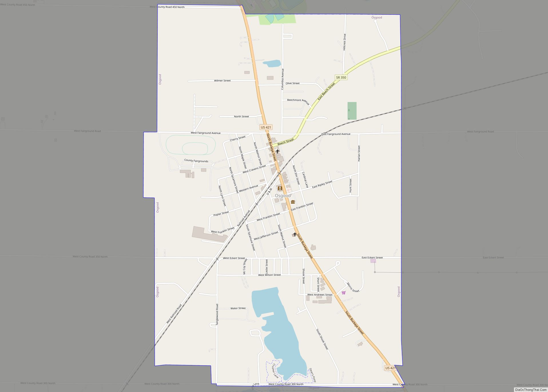
Osgood is a town in Center Township, Ripley County, in the U.S. state of Indiana. The population was 1,624 at the 2010 census.
| Name: | Osgood town |
|---|---|
| LSAD Code: | 43 |
| LSAD Description: | town (suffix) |
| State: | Indiana |
| County: | Ripley County |
| Elevation: | 984 ft (300 m) |
| Total Area: | 1.58 sq mi (4.11 km²) |
| Land Area: | 1.55 sq mi (4.01 km²) |
| Water Area: | 0.04 sq mi (0.09 km²) |
| Total Population: | 1,587 |
| Population Density: | 1,024.53/sq mi (395.52/km²) |
| ZIP code: | 47037 |
| Area code: | 812 |
| FIPS code: | 1857132 |
| GNISfeature ID: | 440723 |
| Website: | http://www.osgoodindiana.org |
Online Interactive Map
Click on ![]() to view map in "full screen" mode.
to view map in "full screen" mode.
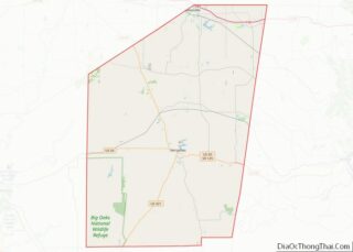
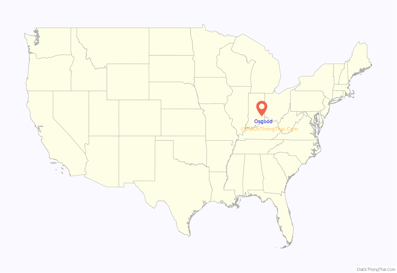
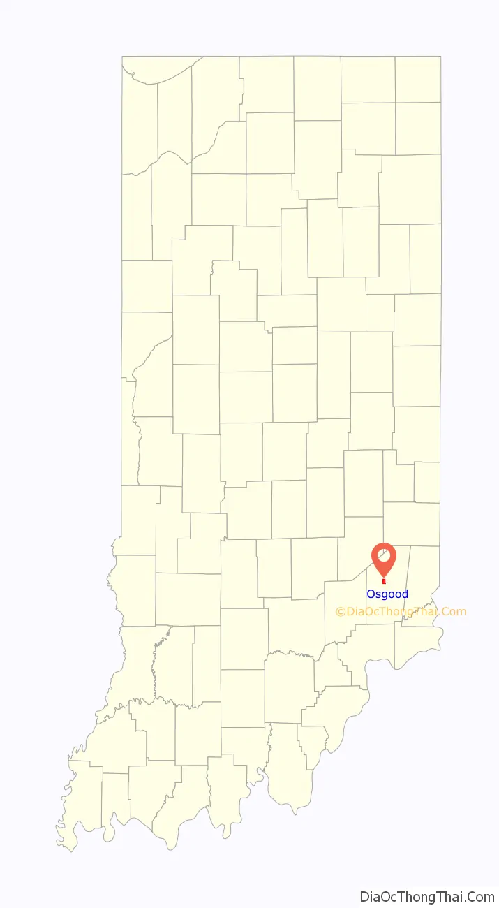
Osgood location map. Where is Osgood town?
History
Osgood was platted in 1854 when the railroad was extended to that point. The town was named for A. L. Osgood, a railroad official. A post office called Osgood has been in operation since 1855. In the 1890s, Osgood was a sundown town, where African Americans were not allowed to reside. By then, Osgood was still much more closely connected to Cincinnati than Indianapolis in terms of trade.
In 1999, the community received a $23 million bequest from the Gilmore and Golda Reynolds Foundation, which was established by two lifelong Osgood residents to assist the town government as well as local non-profit organizations.
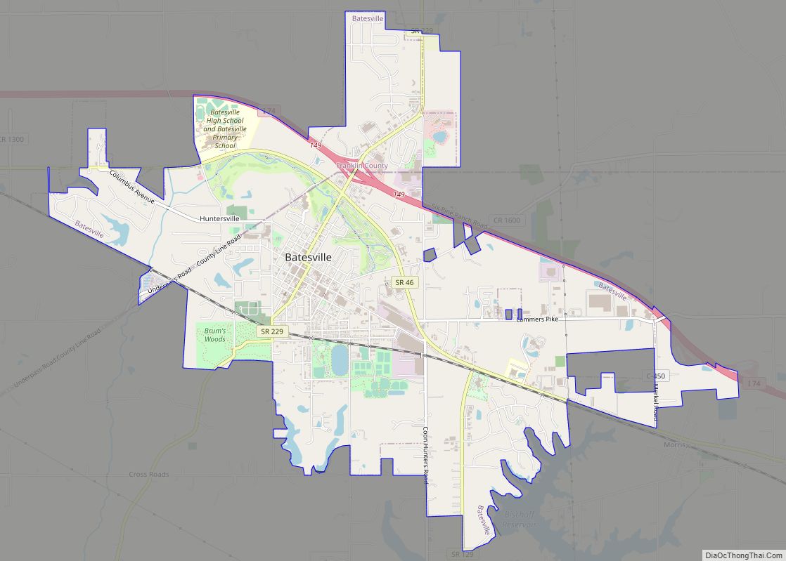
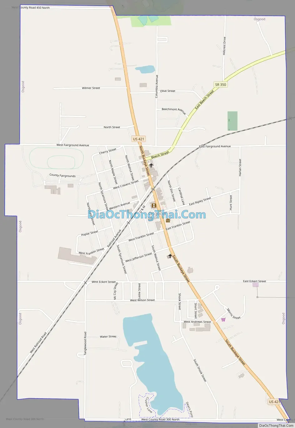
Osgood Road Map
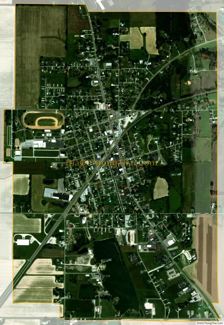
Osgood city Satellite Map
Geography
Osgood is located at 39°7′45″N 85°17′31″W / 39.12917°N 85.29194°W / 39.12917; -85.29194 (39.129062, -85.291893).
According to the 2010 census, Osgood has a total area of 1.48 square miles (3.83 km), of which 1.45 square miles (3.76 km) (or 97.97%) is land and 0.03 square miles (0.08 km) (or 2.03%) is water.
See also
Map of Indiana State and its subdivision:- Adams
- Allen
- Bartholomew
- Benton
- Blackford
- Boone
- Brown
- Carroll
- Cass
- Clark
- Clay
- Clinton
- Crawford
- Daviess
- De Kalb
- Dearborn
- Decatur
- Delaware
- Dubois
- Elkhart
- Fayette
- Floyd
- Fountain
- Franklin
- Fulton
- Gibson
- Grant
- Greene
- Hamilton
- Hancock
- Harrison
- Hendricks
- Henry
- Howard
- Huntington
- Jackson
- Jasper
- Jay
- Jefferson
- Jennings
- Johnson
- Knox
- Kosciusko
- LaGrange
- Lake
- Lake Michigan
- LaPorte
- Lawrence
- Madison
- Marion
- Marshall
- Martin
- Miami
- Monroe
- Montgomery
- Morgan
- Newton
- Noble
- Ohio
- Orange
- Owen
- Parke
- Perry
- Pike
- Porter
- Posey
- Pulaski
- Putnam
- Randolph
- Ripley
- Rush
- Saint Joseph
- Scott
- Shelby
- Spencer
- Starke
- Steuben
- Sullivan
- Switzerland
- Tippecanoe
- Tipton
- Union
- Vanderburgh
- Vermillion
- Vigo
- Wabash
- Warren
- Warrick
- Washington
- Wayne
- Wells
- White
- Whitley
- Alabama
- Alaska
- Arizona
- Arkansas
- California
- Colorado
- Connecticut
- Delaware
- District of Columbia
- Florida
- Georgia
- Hawaii
- Idaho
- Illinois
- Indiana
- Iowa
- Kansas
- Kentucky
- Louisiana
- Maine
- Maryland
- Massachusetts
- Michigan
- Minnesota
- Mississippi
- Missouri
- Montana
- Nebraska
- Nevada
- New Hampshire
- New Jersey
- New Mexico
- New York
- North Carolina
- North Dakota
- Ohio
- Oklahoma
- Oregon
- Pennsylvania
- Rhode Island
- South Carolina
- South Dakota
- Tennessee
- Texas
- Utah
- Vermont
- Virginia
- Washington
- West Virginia
- Wisconsin
- Wyoming