Batesville is a city in Franklin and Ripley counties in the U.S. state of Indiana. The population was 6,520 at the 2010 census, making it the largest community in both counties but is not the county seat of either. The Batesville Casket Company is headquartered here. Medical technology company Hillrom has a substantial presence in the town, employing over 1,700 people at its office, innovation and manufacturing campus. Batesville is noted for its central location between Indianapolis, Cincinnati, and Louisville.
| Name: | Batesville city |
|---|---|
| LSAD Code: | 25 |
| LSAD Description: | city (suffix) |
| State: | Indiana |
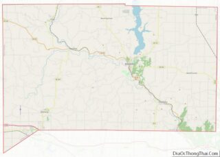
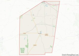
| County: | Franklin County, Ripley County |
| Elevation: | 971 ft (296 m) |
| Total Area: | 6.17 sq mi (15.98 km²) |
| Land Area: | 6.10 sq mi (15.81 km²) |
| Water Area: | 0.07 sq mi (0.17 km²) |
| Total Population: | 7,202 |
| Population Density: | 1,179.88/sq mi (455.52/km²) |
| ZIP code: | 47006 |
| Area code: | 812 |
| FIPS code: | 1803664 |
| GNISfeature ID: | 430573 |
| Website: | www.batesvilleindiana.us |
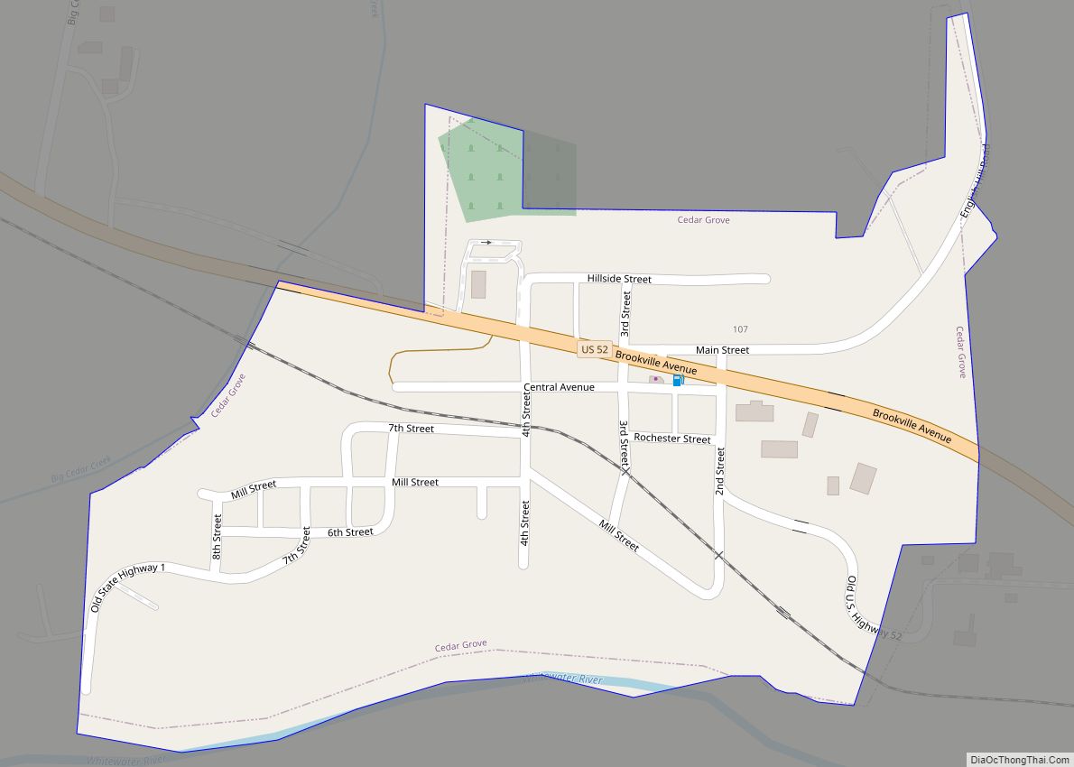
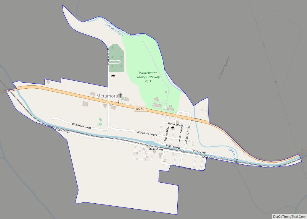
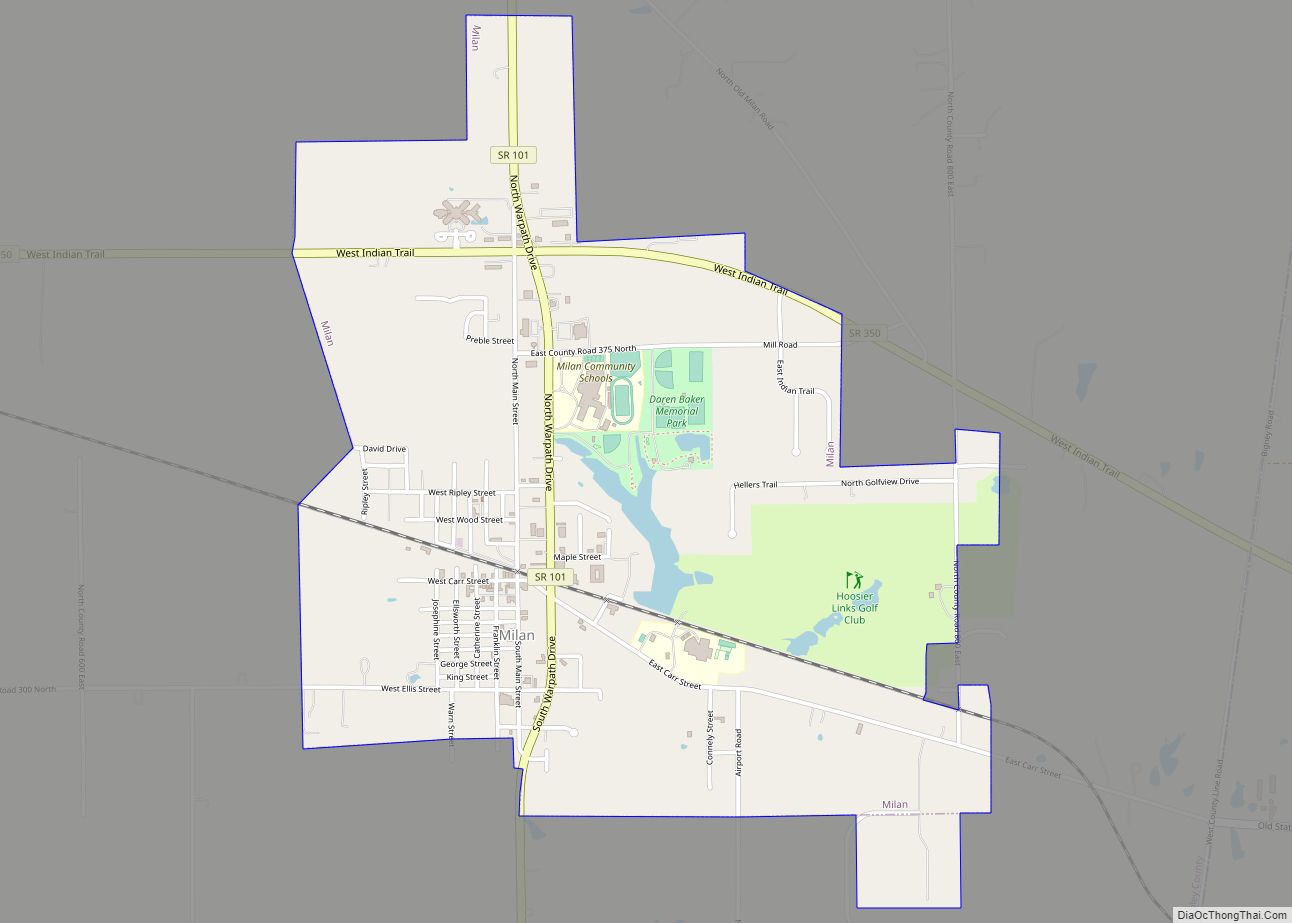
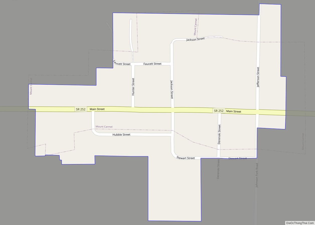
Online Interactive Map
Click on ![]() to view map in "full screen" mode.
to view map in "full screen" mode.
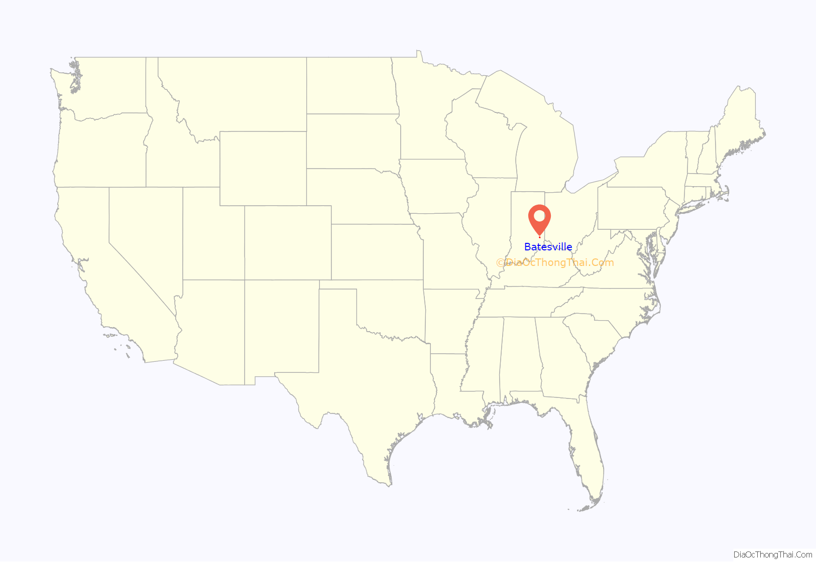
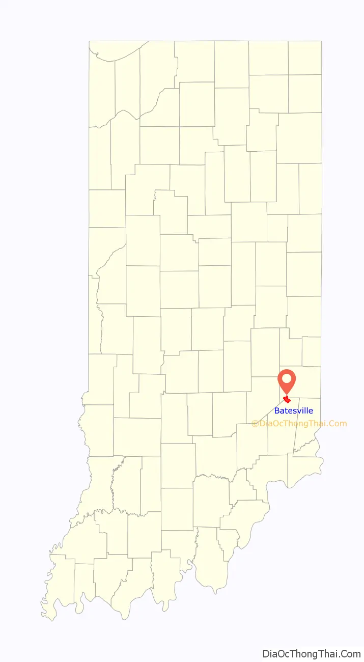
Batesville location map. Where is Batesville city?
History
Central Batesville Historic District was listed on the National Register of Historic Places in 2011.
Beginning
Batesville was founded by George H. Dunn, owner of the John Callahan Trust Company. The company bought land and created new towns along rail lines that it began since Dunn was president of the Cincinnati and Indianapolis Railroad. Joshua Bates, who platted the town of Batesville, is thought to be the source of the name. On November 1, 1853, the first train from Cincinnati to Indianapolis passed through Batesville.
Development
Once the railway opened, Dunn and Bates constructed more buildings. George Sims laid out Batesville’s first addition in 1858. The following year, German immigrant Henry Boehringer became Batesville’s first major builder. A three-story building with a basement on East Pearl Street (formerly known as Broadway Street) became known as the Boehringer Hall because of the dance floor on the third story. The Catholic congregation used the basement before they had built their church.
Louis Walter established Batesville’s first gristmill in 1858. Between 1860 and 1870, Boehringer built a row of apartments and homes on the north side of Batesville on Boehringer Street. Along with building the apartments and housing, Boehringer owned the lot where the Ward School now stands. In 1863 Conrad Rapp purchased numerous lots on East Broadway and bought Walter’s gristmill. In 1865, John Brinkman built a hotel and restaurant called the Sherman House, named after William Tecumseh Sherman, a major general that led the Union Army to its final victory of the Civil War in a campaign that became known as “Sherman’s March to the Sea”.
Sebastian Messersmith built Union Hall in 1865. It was a two-story building on the west side of Main Street (Batesville, Indiana)|Main Street and just north of South Street (Batesville, Indiana)|South Street. Union Hall was used by the fire department for meetings and it was used by the public school while the school building was being rebuilt. It was also used as a boarding house for mill workers and visiting lumber salesman. This was an important building to the citizens of Batesville. Batesville has been known for its many factories built between the 1870s and the present.
In 1873 the Greeman Bracket Company began manufacturing under the Greeman family name, which was one of the leading businesses for 30 years. The Schrader Furniture Factory was built in 1873, but had to be rebuilt in 1875 after the factory was destroyed by a fire. When the founder Herman Schrader died, the business was bought by John Hillenbrand|John and William Hillenbrand. In 1874, the Union Furniture Factory also burned down and the Blank Bros. Furniture Manufacturing Company was erected the following year. Also, in 1879, Batesville published its first newspaper, The Prairie Farmer.
During the 1880s the town of Batesville started its first form of government appointed by the community. The first mayor was George M. Hillenbrand. The first town board served without pay. The board consisted of five officers: Jacob Blank Jr., John Lehmkuehler, John Hillenbrand, William Hillenbrand, and Christian Schwieler. Much of the money that was put toward the town came directly out of the officers’ pockets. For example, in February 1883, they donated $153.06 to go toward paying for the town’s bills. By September, when the financial report was reviewed, Batesville only had $1.82 in its account. Also during 1883, Batesville began major road construction.
In 1884 Batesville organized the Batesville Casket Company. It was managed by J. Spiegel and later purchased by George M. Hillenbrand in February 1906. Also in 1884, the town jail was completed at a cost of $211.55. The inmates were forced to break stone to pay for their stay in the prison.
Several developments took place in 1887, including new additions to the town and telephone connections to the town of Oldenburg. These developments were funded by a grant applied for by Mr. Haverkos. Also in 1887, John Hillenbrand and Victor Oberting opened a stone quarry on some of Mr. Hillenbrand’s land near Batesville. In December 1887, the town hall was completed. The town hall was separated into two parts: one for the town board and the other for the fire company. The town hall was also rented out for public gatherings.
In March 1888, the school board made a decision to construct an addition onto the schoolhouse. This proposal estimated that the total cost of the addition would be $1,500. Also in 1888, the first city attorney (James H. Connelly) was appointed at a salary of $35 per year, and many new businesses were added. In this year, Henry F. E. Schrader moved to Batesville and opened a tin shop and built homes. Also, Henry H. Kramer started a grocery store on the corner of Walnut and Boehringer. As well as new stores, a covered bridge was built over the Laughery Creek, making travel much easier.
In 1889, Batesville finally paved its roads with stone that came from the Hillenbrand and Oberting Stone Quarry. As well as the paving of the roads, Batesville opened the Batesville State Bank. In February 1890, Batesville had built its first sidewalks. Also in the 1890s, street lamps were introduced to Batesville. Originally, these lamps were oil lamps. However, in October, a proposal was written to turn them all into electric lamps, but the proposal was denied. On January 29, 1894, the first electric lamp was placed in front of Town Hall.
In 1895 a petition was written and accepted to build another school. The total estimated cost would be $5,700. The land would cost $700 and the school building would cost $5,000. In 1897 Batesville decided to stop the use of the electric lamps because of the rates that people had to pay to keep them going, but then in 1898 Batesville decided that they would reduce the rates and only use the lamps when needed.
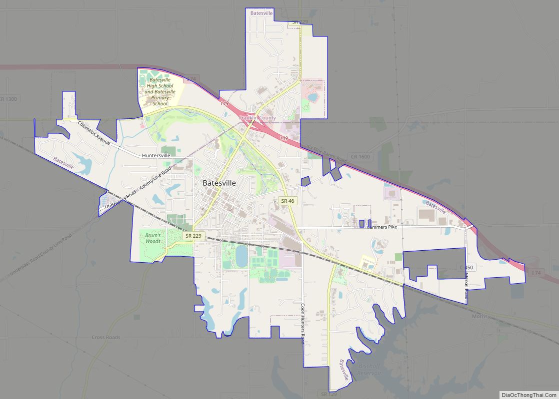
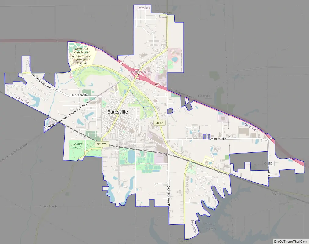
Batesville Road Map
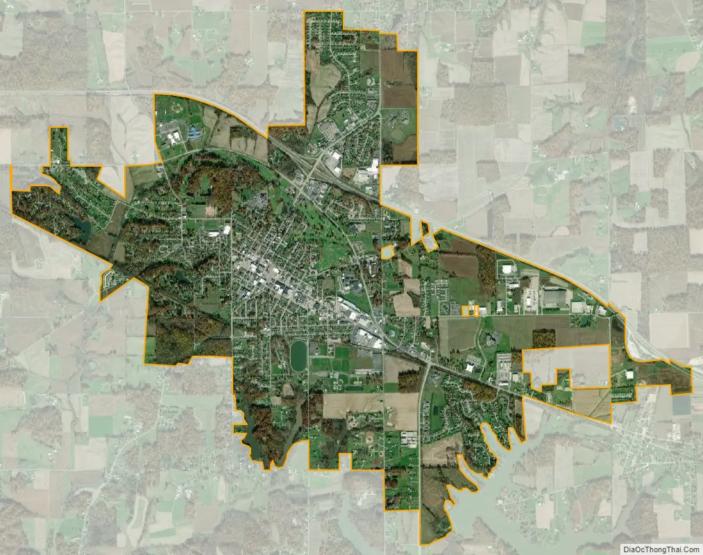
Batesville city Satellite Map
Geography
According to the 2010 census, Batesville has a total area of 6.156 square miles (15.94 km), of which 6.09 square miles (15.77 km) (or 98.93%) is land and 0.066 square miles (0.17 km) (or 1.07%) is water.
Climate
The climate in this area is characterized by hot, humid summers and generally mild to cool winters. According to the Köppen Climate Classification system, Batesville has a humid subtropical climate, abbreviated “Cfa” on climate maps.
See also
Map of Indiana State and its subdivision:- Adams
- Allen
- Bartholomew
- Benton
- Blackford
- Boone
- Brown
- Carroll
- Cass
- Clark
- Clay
- Clinton
- Crawford
- Daviess
- De Kalb
- Dearborn
- Decatur
- Delaware
- Dubois
- Elkhart
- Fayette
- Floyd
- Fountain
- Franklin
- Fulton
- Gibson
- Grant
- Greene
- Hamilton
- Hancock
- Harrison
- Hendricks
- Henry
- Howard
- Huntington
- Jackson
- Jasper
- Jay
- Jefferson
- Jennings
- Johnson
- Knox
- Kosciusko
- LaGrange
- Lake
- Lake Michigan
- LaPorte
- Lawrence
- Madison
- Marion
- Marshall
- Martin
- Miami
- Monroe
- Montgomery
- Morgan
- Newton
- Noble
- Ohio
- Orange
- Owen
- Parke
- Perry
- Pike
- Porter
- Posey
- Pulaski
- Putnam
- Randolph
- Ripley
- Rush
- Saint Joseph
- Scott
- Shelby
- Spencer
- Starke
- Steuben
- Sullivan
- Switzerland
- Tippecanoe
- Tipton
- Union
- Vanderburgh
- Vermillion
- Vigo
- Wabash
- Warren
- Warrick
- Washington
- Wayne
- Wells
- White
- Whitley
- Alabama
- Alaska
- Arizona
- Arkansas
- California
- Colorado
- Connecticut
- Delaware
- District of Columbia
- Florida
- Georgia
- Hawaii
- Idaho
- Illinois
- Indiana
- Iowa
- Kansas
- Kentucky
- Louisiana
- Maine
- Maryland
- Massachusetts
- Michigan
- Minnesota
- Mississippi
- Missouri
- Montana
- Nebraska
- Nevada
- New Hampshire
- New Jersey
- New Mexico
- New York
- North Carolina
- North Dakota
- Ohio
- Oklahoma
- Oregon
- Pennsylvania
- Rhode Island
- South Carolina
- South Dakota
- Tennessee
- Texas
- Utah
- Vermont
- Virginia
- Washington
- West Virginia
- Wisconsin
- Wyoming