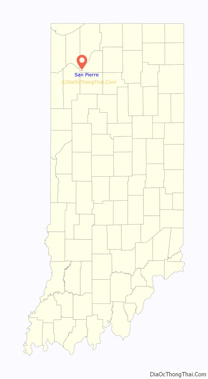
San Pierre is a census-designated place (CDP) in Railroad Township, Starke County, in the U.S. state of Indiana. The population was 144 at the 2010 census.
| Name: | San Pierre CDP |
|---|---|
| LSAD Code: | 57 |
| LSAD Description: | CDP (suffix) |
| State: | Indiana |
| County: | Starke County |
| Elevation: | 696 ft (212 m) |
| Total Area: | 0.14 sq mi (0.38 km²) |
| Land Area: | 0.14 sq mi (0.38 km²) |
| Water Area: | 0.00 sq mi (0.00 km²) |
| Total Population: | 153 |
| Population Density: | 1,055.17/sq mi (407.09/km²) |
| ZIP code: | 46374 |
| Area code: | 219 |
| FIPS code: | 1868004 |
| GNISfeature ID: | 442957 |
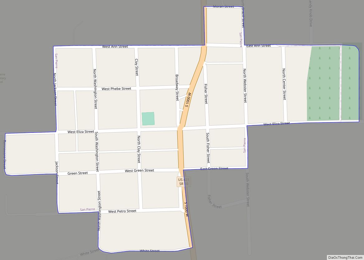
Online Interactive Map
Click on ![]() to view map in "full screen" mode.
to view map in "full screen" mode.
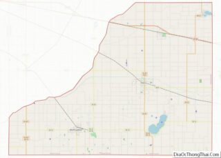
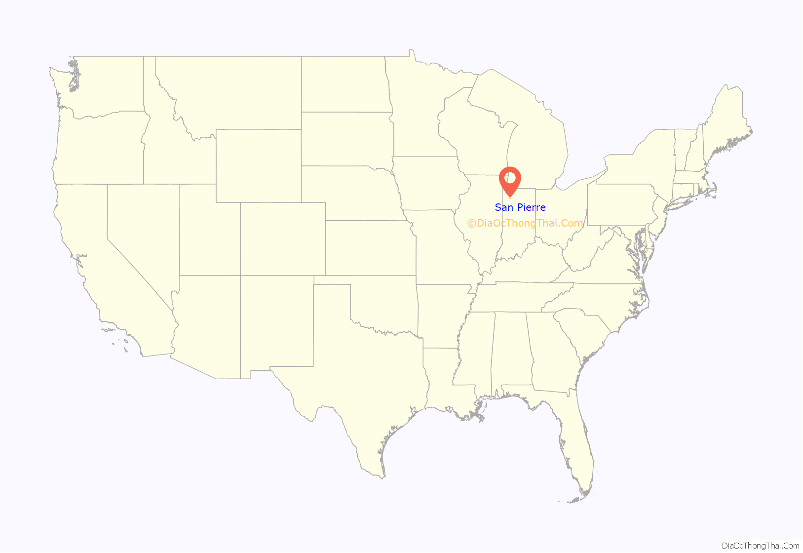
San Pierre location map. Where is San Pierre CDP?
History
Established and laid out in 1854, the area was originally called Culvertown, although a post office had been established as River in 1853. According to one local tradition, the village later took the name of San Pierre, named after a nearby French-Canadian saloon owner. The story goes that ‘Pierre’ built a shack some 400 feet south of the village of Culvertown and began to sell whisky there. As a consequence of this inducement, the town shifted slightly to the south and the name was changed to San Pierre. Another tradition records the village being named after a French railroad worker called ‘Pierre’, with San being added to provide more importance to the name. In any case, the name was changed simply to Pierre in 1894, possibly as a result of increasing tension between Spain and the United States, leading up to the Spanish–American War. Finally the name was changed back to San Pierre in 1899.
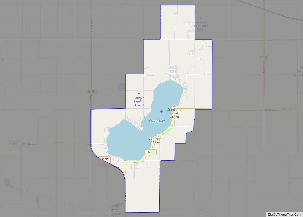
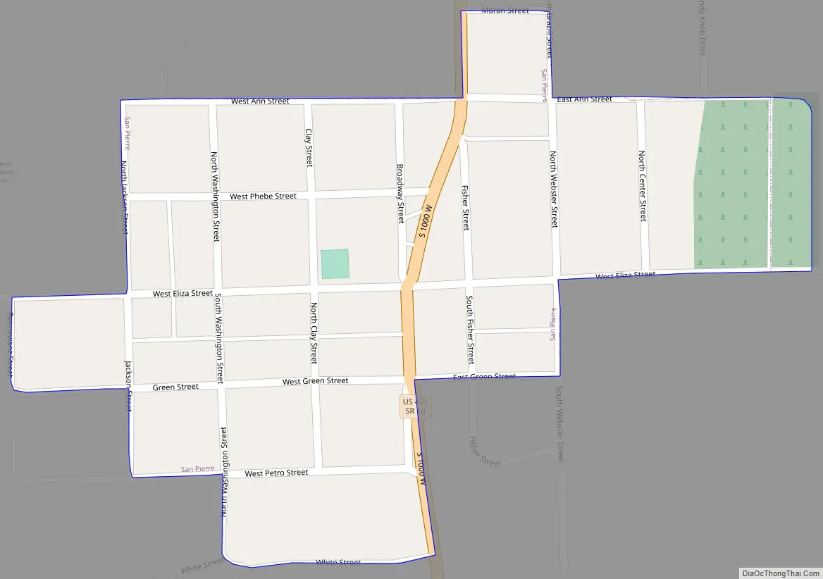
San Pierre Road Map
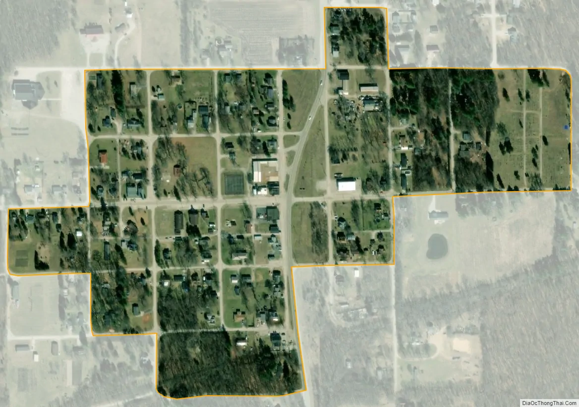
San Pierre city Satellite Map
Geography
San Pierre is located at the junction of U.S. Route 421 and Indiana State Road 10.
According to the United States Census Bureau, the CDP has a total area of 0.1 square miles (0.26 km), all land.
See also
Map of Indiana State and its subdivision:- Adams
- Allen
- Bartholomew
- Benton
- Blackford
- Boone
- Brown
- Carroll
- Cass
- Clark
- Clay
- Clinton
- Crawford
- Daviess
- De Kalb
- Dearborn
- Decatur
- Delaware
- Dubois
- Elkhart
- Fayette
- Floyd
- Fountain
- Franklin
- Fulton
- Gibson
- Grant
- Greene
- Hamilton
- Hancock
- Harrison
- Hendricks
- Henry
- Howard
- Huntington
- Jackson
- Jasper
- Jay
- Jefferson
- Jennings
- Johnson
- Knox
- Kosciusko
- LaGrange
- Lake
- Lake Michigan
- LaPorte
- Lawrence
- Madison
- Marion
- Marshall
- Martin
- Miami
- Monroe
- Montgomery
- Morgan
- Newton
- Noble
- Ohio
- Orange
- Owen
- Parke
- Perry
- Pike
- Porter
- Posey
- Pulaski
- Putnam
- Randolph
- Ripley
- Rush
- Saint Joseph
- Scott
- Shelby
- Spencer
- Starke
- Steuben
- Sullivan
- Switzerland
- Tippecanoe
- Tipton
- Union
- Vanderburgh
- Vermillion
- Vigo
- Wabash
- Warren
- Warrick
- Washington
- Wayne
- Wells
- White
- Whitley
- Alabama
- Alaska
- Arizona
- Arkansas
- California
- Colorado
- Connecticut
- Delaware
- District of Columbia
- Florida
- Georgia
- Hawaii
- Idaho
- Illinois
- Indiana
- Iowa
- Kansas
- Kentucky
- Louisiana
- Maine
- Maryland
- Massachusetts
- Michigan
- Minnesota
- Mississippi
- Missouri
- Montana
- Nebraska
- Nevada
- New Hampshire
- New Jersey
- New Mexico
- New York
- North Carolina
- North Dakota
- Ohio
- Oklahoma
- Oregon
- Pennsylvania
- Rhode Island
- South Carolina
- South Dakota
- Tennessee
- Texas
- Utah
- Vermont
- Virginia
- Washington
- West Virginia
- Wisconsin
- Wyoming