Trafalgar is a town in Nineveh and Hensley townships, Johnson County, Indiana, United States. The population was 1,101 at the 2010 census.
This town is 20 miles (32 km) south of Indianapolis.
It is the home of the transmitters for WTTV, WTTS, WSOM and WHZN.
| Name: | Trafalgar town |
|---|---|
| LSAD Code: | 43 |
| LSAD Description: | town (suffix) |
| State: | Indiana |
| County: | Johnson County |
| Elevation: | 827 ft (252 m) |
| Total Area: | 2.56 sq mi (6.63 km²) |
| Land Area: | 2.56 sq mi (6.63 km²) |
| Water Area: | 0.00 sq mi (0.00 km²) |
| Total Population: | 1,422 |
| Population Density: | 555.47/sq mi (214.48/km²) |
| ZIP code: | 46181 |
| Area code: | 317 |
| FIPS code: | 1876310 |
| GNISfeature ID: | 0444851 |
Online Interactive Map
Click on ![]() to view map in "full screen" mode.
to view map in "full screen" mode.
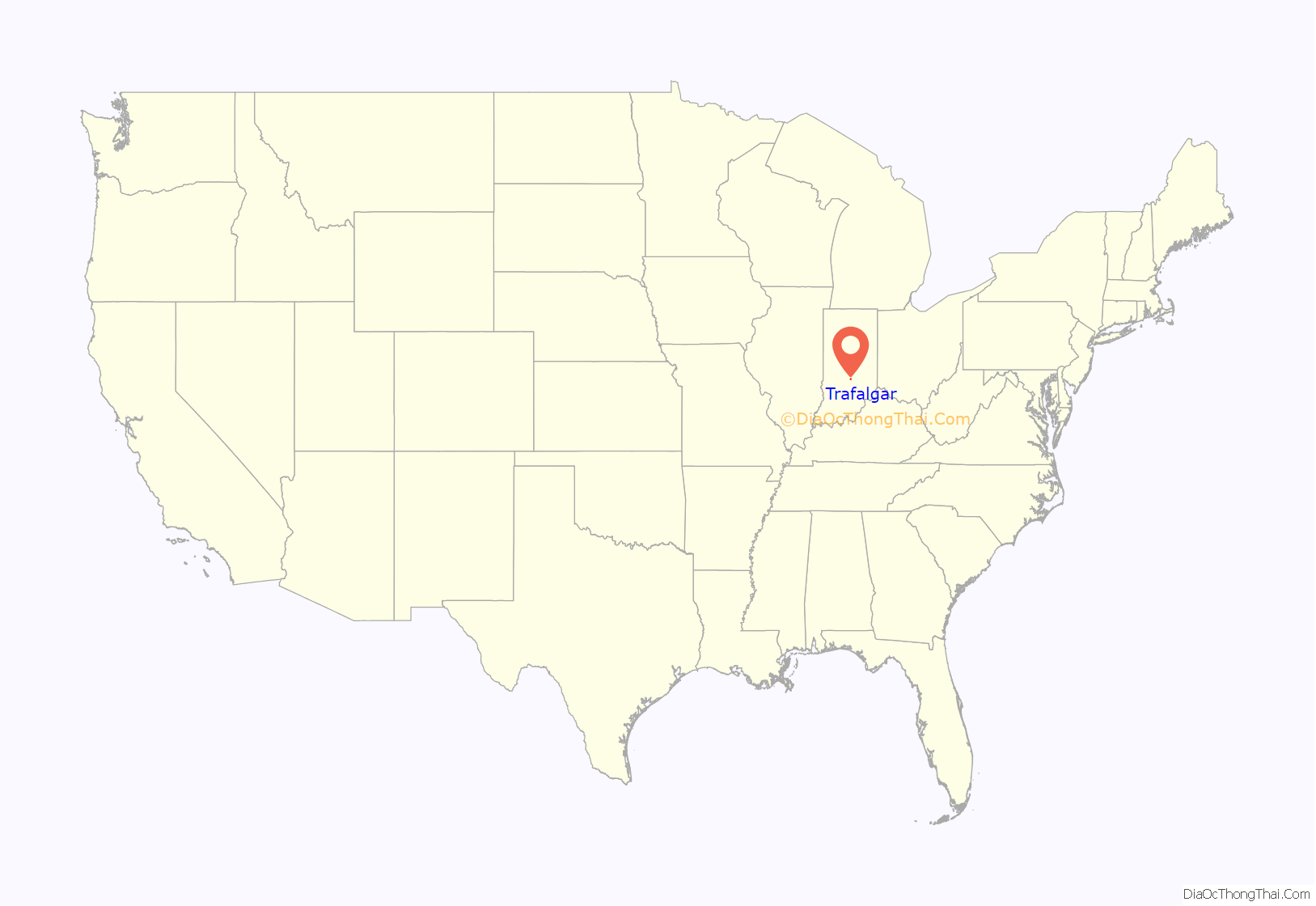
Trafalgar location map. Where is Trafalgar town?
History
Col. Avery M. Buckner is credited for platting a town, in the early 1850s, along a short-lived flat bar railroad that ran between Franklin, and Martinsville. First named Liberty, the name was changed to Trafalgar. Soon Ezekiel W. Morgan came to town to open a store. Denied a site near the railroad, he bought land in a nearby village founded by George Bridges.
In 1868, the railroad was rebuilt as the Fairland and Martinsville branch of the Big Four. The post office (and town name) was moved to Morgan’s store. By 1870, the “old” and “new” Trafalgars had grown together and were briefly incorporated as one. The current town of Trafalgar was reincorporated in 1946. By the 90s, the town had grown 266%. The name of the town commemorates the Battle of Trafalgar.
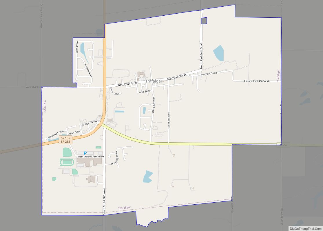
Trafalgar Road Map
Trafalgar city Satellite Map
Geography
Trafalgar is located at 39°24′51″N 86°9′12″W / 39.41417°N 86.15333°W / 39.41417; -86.15333 (39.414126, -86.153291).
According to the 2010 census, Trafalgar has a total area of 2.64 square miles (6.84 km), all land.
See also
Map of Indiana State and its subdivision:- Adams
- Allen
- Bartholomew
- Benton
- Blackford
- Boone
- Brown
- Carroll
- Cass
- Clark
- Clay
- Clinton
- Crawford
- Daviess
- De Kalb
- Dearborn
- Decatur
- Delaware
- Dubois
- Elkhart
- Fayette
- Floyd
- Fountain
- Franklin
- Fulton
- Gibson
- Grant
- Greene
- Hamilton
- Hancock
- Harrison
- Hendricks
- Henry
- Howard
- Huntington
- Jackson
- Jasper
- Jay
- Jefferson
- Jennings
- Johnson
- Knox
- Kosciusko
- LaGrange
- Lake
- Lake Michigan
- LaPorte
- Lawrence
- Madison
- Marion
- Marshall
- Martin
- Miami
- Monroe
- Montgomery
- Morgan
- Newton
- Noble
- Ohio
- Orange
- Owen
- Parke
- Perry
- Pike
- Porter
- Posey
- Pulaski
- Putnam
- Randolph
- Ripley
- Rush
- Saint Joseph
- Scott
- Shelby
- Spencer
- Starke
- Steuben
- Sullivan
- Switzerland
- Tippecanoe
- Tipton
- Union
- Vanderburgh
- Vermillion
- Vigo
- Wabash
- Warren
- Warrick
- Washington
- Wayne
- Wells
- White
- Whitley
- Alabama
- Alaska
- Arizona
- Arkansas
- California
- Colorado
- Connecticut
- Delaware
- District of Columbia
- Florida
- Georgia
- Hawaii
- Idaho
- Illinois
- Indiana
- Iowa
- Kansas
- Kentucky
- Louisiana
- Maine
- Maryland
- Massachusetts
- Michigan
- Minnesota
- Mississippi
- Missouri
- Montana
- Nebraska
- Nevada
- New Hampshire
- New Jersey
- New Mexico
- New York
- North Carolina
- North Dakota
- Ohio
- Oklahoma
- Oregon
- Pennsylvania
- Rhode Island
- South Carolina
- South Dakota
- Tennessee
- Texas
- Utah
- Vermont
- Virginia
- Washington
- West Virginia
- Wisconsin
- Wyoming
