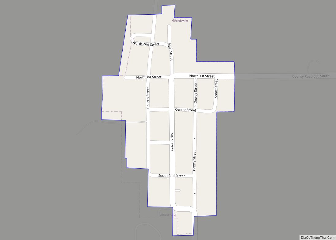
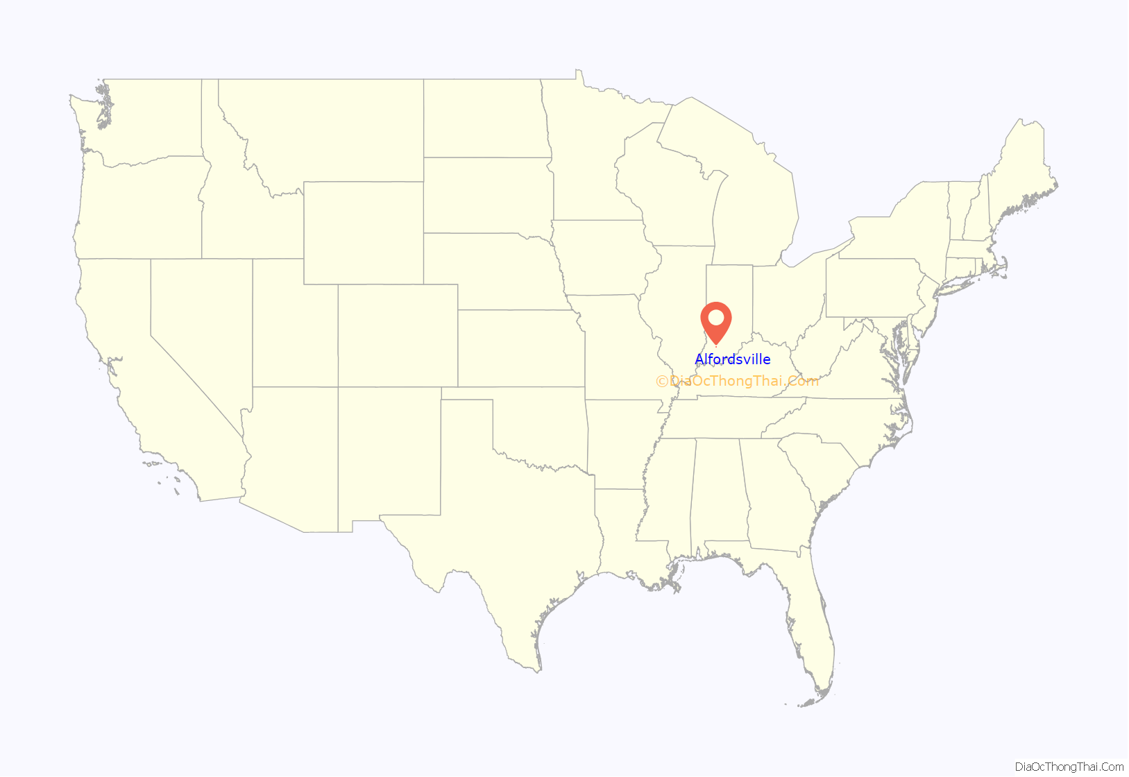
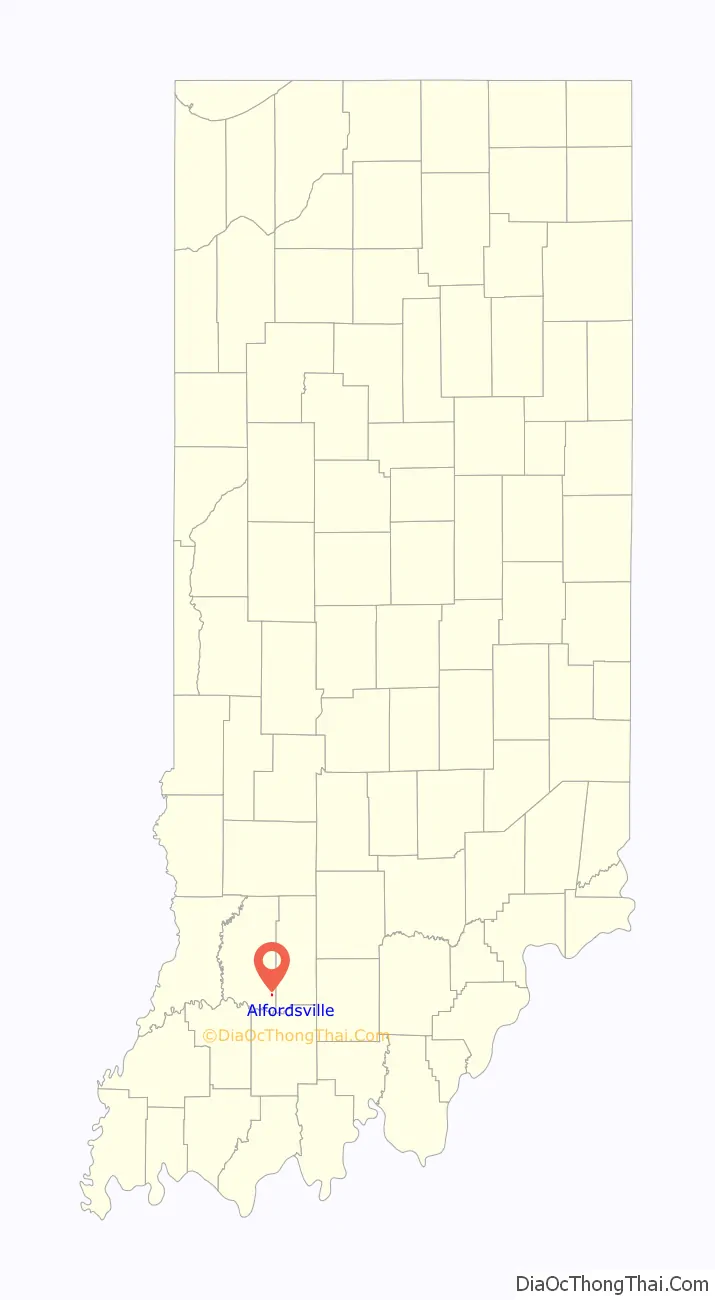
Alfordsville is a town in Reeve Township, Daviess County, Indiana, United States. The population was 101 at the 2010 census.
| Name: | Alfordsville town |
|---|---|
| LSAD Code: | 43 |
| LSAD Description: | town (suffix) |
| State: | Indiana |
| County: | Daviess County |
| Elevation: | 512 ft (156 m) |
| Total Area: | 0.07 sq mi (0.17 km²) |
| Land Area: | 0.07 sq mi (0.17 km²) |
| Water Area: | 0.00 sq mi (0.00 km²) |
| Total Population: | 65 |
| Population Density: | 984.85/sq mi (382.29/km²) |
| FIPS code: | 1800964 |
Online Interactive Map
Click on ![]() to view map in "full screen" mode.
to view map in "full screen" mode.
Alfordsville location map. Where is Alfordsville town?
History
Alfordsville was laid out in 1845. It was named for James Alford, a pioneer settler.
A post office was established at Alfordsville in 1856, and it was discontinued in 1968.
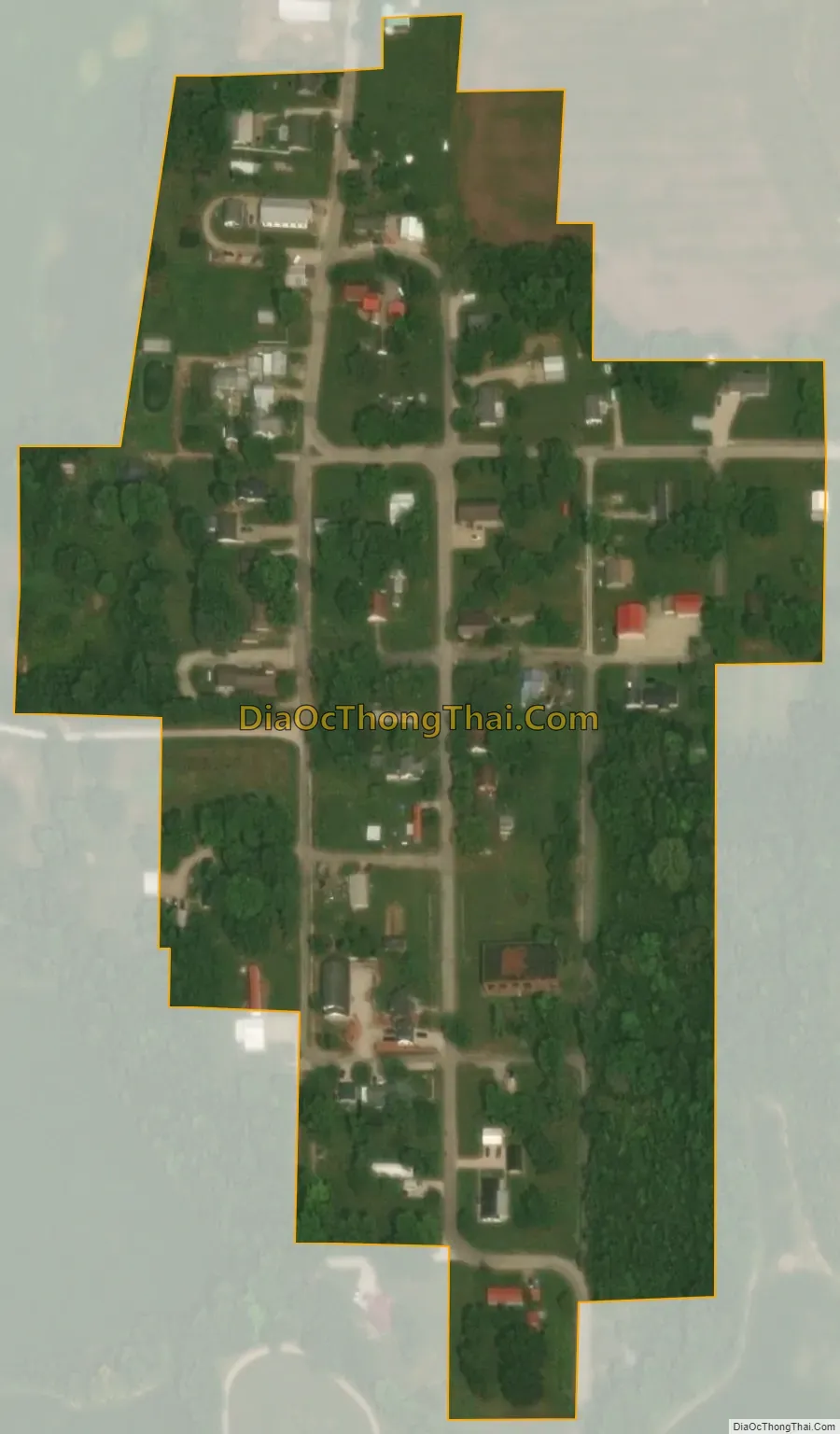
Alfordsville Road Map

Alfordsville city Satellite Map
Geography
Alfordsville is situated in a hilly area in southeastern Daviess County, northwest of Jasper. County Road 650 connects the town with U.S. Route 231 to the east. The Glendale Fish and Wildlife Area, which includes Dogwood Lake, lies to the west of Alfordsville.
According to the 2010 census, Alfordsville has a total area of 0.07 square miles (0.18 km), all land.
See also
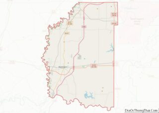
Map of Indiana State and its subdivision:- Adams
- Allen
- Bartholomew
- Benton
- Blackford
- Boone
- Brown
- Carroll
- Cass
- Clark
- Clay
- Clinton
- Crawford
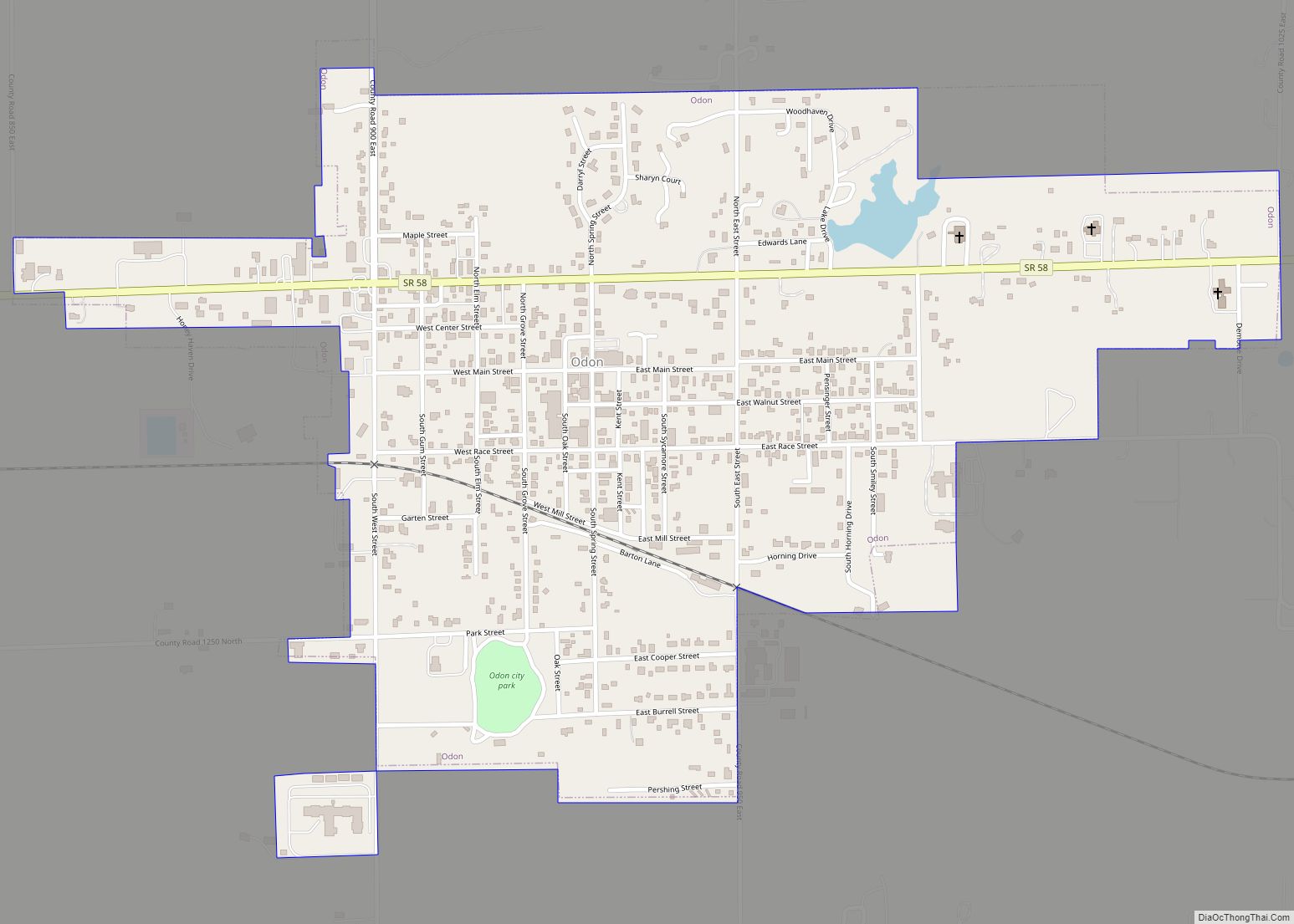
- Daviess
- De Kalb
- Dearborn
- Decatur
- Delaware
- Dubois
- Elkhart
- Fayette
- Floyd
- Fountain
- Franklin
- Fulton
- Gibson
- Grant
- Greene
- Hamilton
- Hancock
- Harrison
- Hendricks
- Henry
- Howard
- Huntington
- Jackson
- Jasper
- Jay
- Jefferson
- Jennings
- Johnson
- Knox
- Kosciusko
- LaGrange
- Lake
- Lake Michigan
- LaPorte
- Lawrence
- Madison
- Marion
- Marshall
- Martin
- Miami
- Monroe
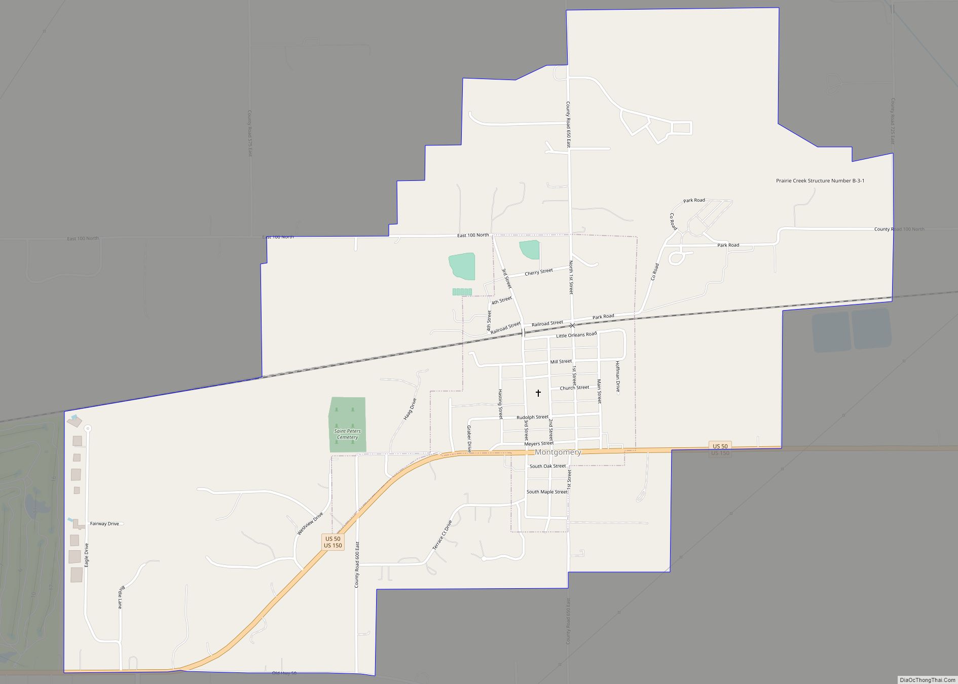
- Montgomery
- Morgan
- Newton
- Noble
- Ohio
- Orange
- Owen
- Parke
- Perry
- Pike
- Porter
- Posey
- Pulaski
- Putnam
- Randolph
- Ripley
- Rush
- Saint Joseph
- Scott
- Shelby
- Spencer
- Starke
- Steuben
- Sullivan
- Switzerland
- Tippecanoe
- Tipton
- Union
- Vanderburgh
- Vermillion
- Vigo
- Wabash
- Warren
- Warrick
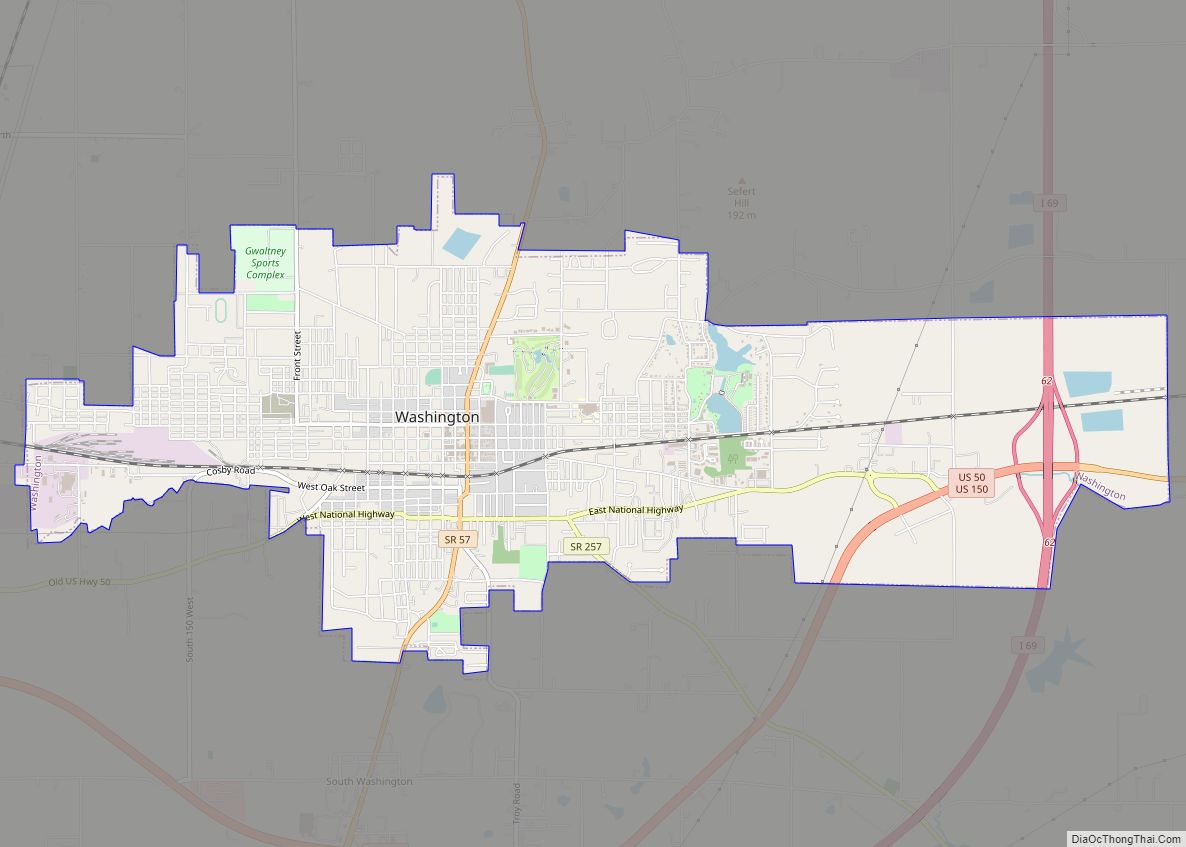
- Washington
- Wayne
- Wells
- White
- Whitley
- Alabama
- Alaska
- Arizona
- Arkansas
- California
- Colorado
- Connecticut
- Delaware
- District of Columbia
- Florida
- Georgia
- Hawaii
- Idaho
- Illinois
- Indiana
- Iowa
- Kansas
- Kentucky
- Louisiana
- Maine
- Maryland
- Massachusetts
- Michigan
- Minnesota
- Mississippi
- Missouri
- Montana
- Nebraska
- Nevada
- New Hampshire
- New Jersey
- New Mexico
- New York
- North Carolina
- North Dakota
- Ohio
- Oklahoma
- Oregon
- Pennsylvania
- Rhode Island
- South Carolina
- South Dakota
- Tennessee
- Texas
- Utah
- Vermont
- Virginia
- Washington
- West Virginia
- Wisconsin
- Wyoming