Dardenne Prairie is a city in St. Charles County, Missouri, United States. The population was 11,494 at the 2010 census.
| Name: | Dardenne Prairie city |
|---|---|
| LSAD Code: | 25 |
| LSAD Description: | city (suffix) |
| State: | Missouri |
| County: | St. Charles County |
| Incorporated: | 1983 (town), 2001 (city) |
| Elevation: | 614 ft (187 m) |
| Total Area: | 5.32 sq mi (13.78 km²) |
| Land Area: | 5.32 sq mi (13.77 km²) |
| Water Area: | 0.00 sq mi (0.00 km²) 0% |
| Total Population: | 12,743 |
| Population Density: | 2,396.20/sq mi (925.21/km²) |
| Area code: | 636 |
| FIPS code: | 2918253 |
| GNISfeature ID: | 1669603 |
| Website: | DardennePrairie.org |
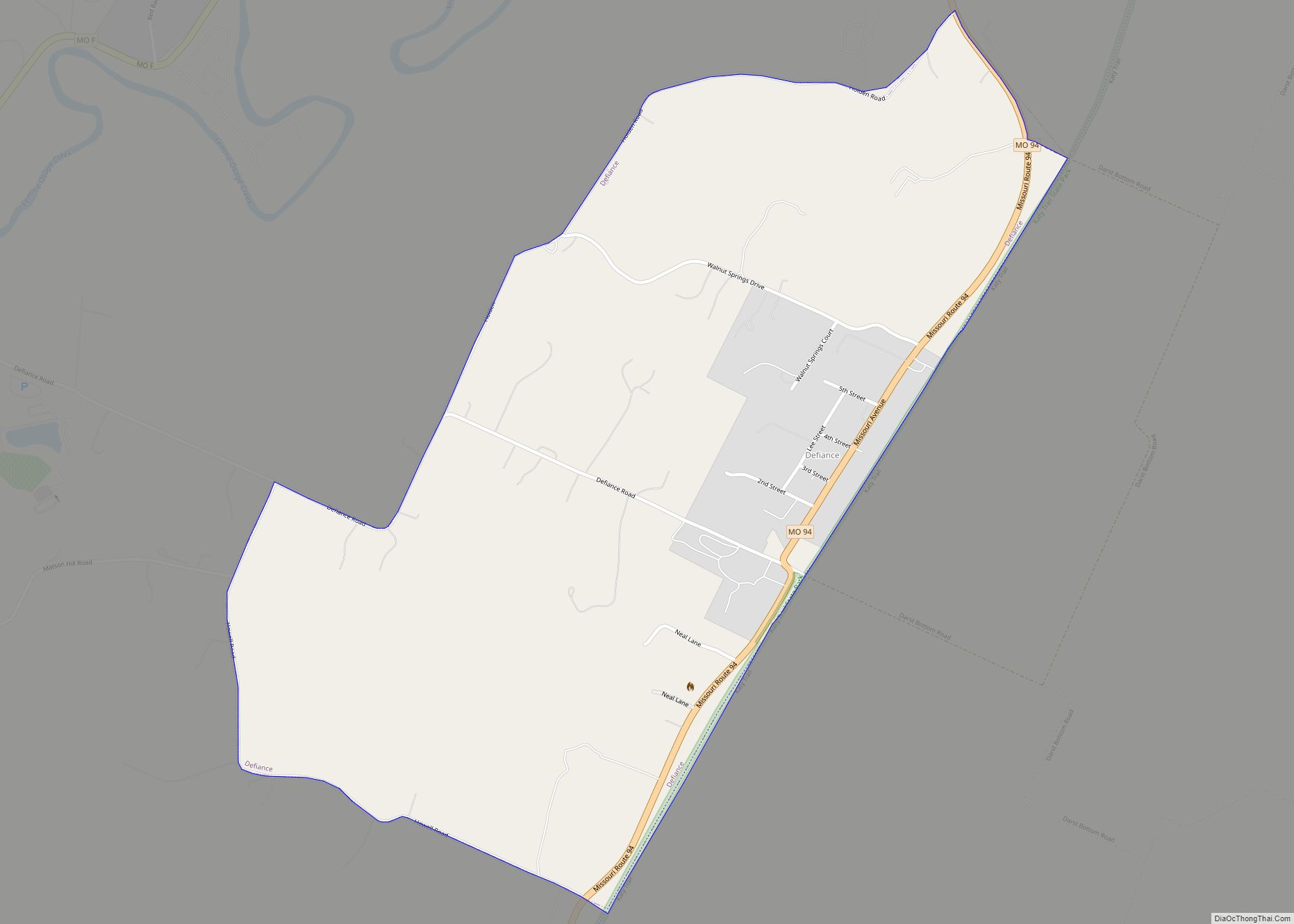
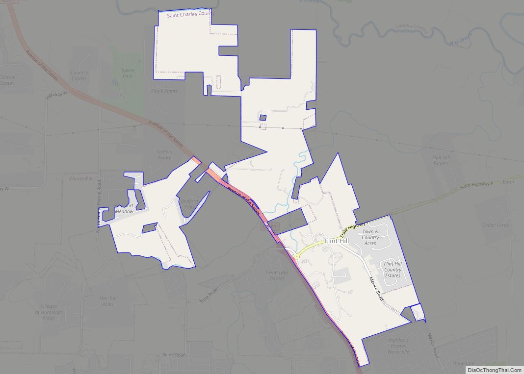
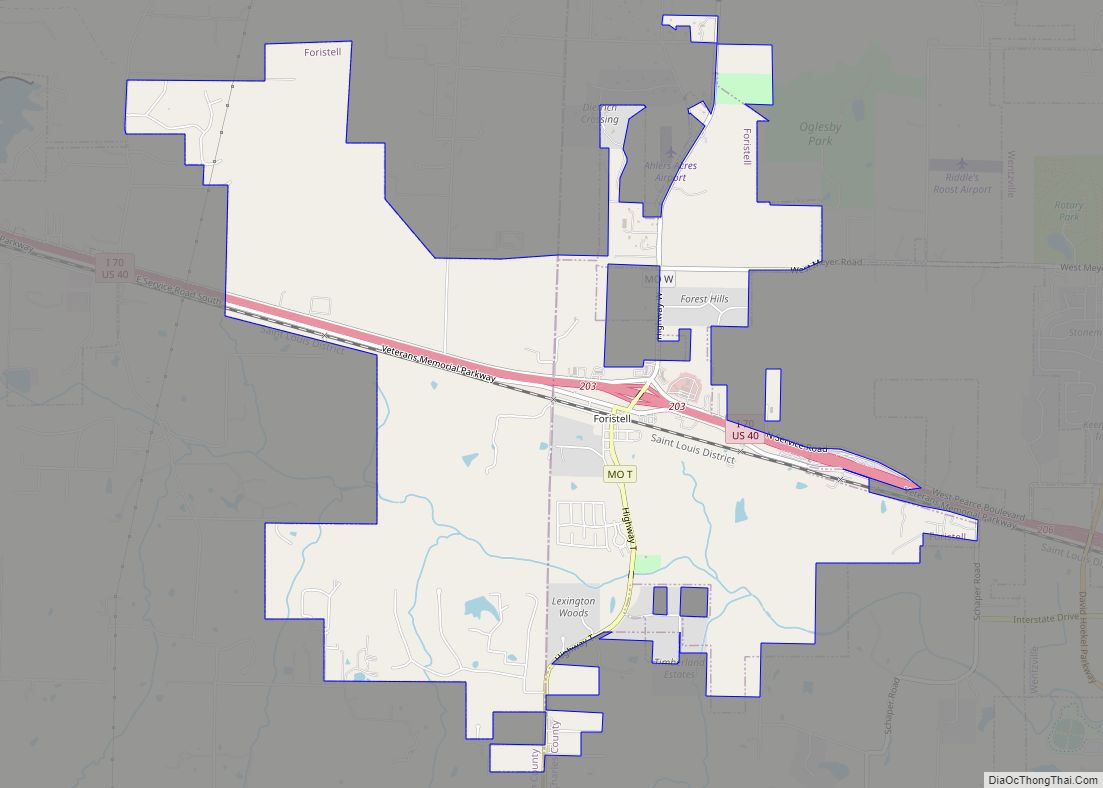
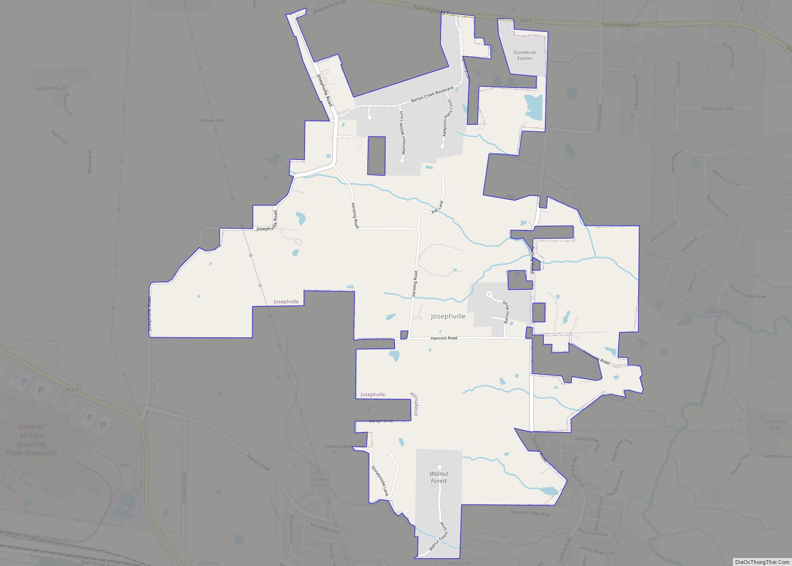
Online Interactive Map
Click on ![]() to view map in "full screen" mode.
to view map in "full screen" mode.
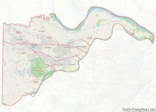
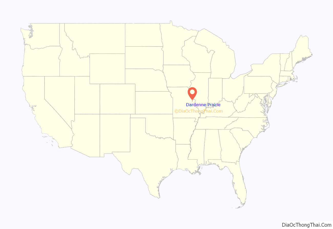
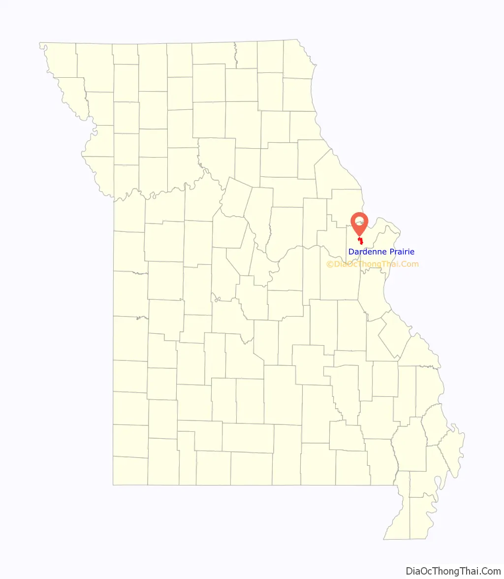
Dardenne Prairie location map. Where is Dardenne Prairie city?
History
Dardenne Prairie was originally a prairie region which began in the area near St. Peters and extended north of Dardenne Creek, almost to Peruque Creek. The area was named after the stream. In early documents the name appeared as Dardonne Creek, Darden Creek, Dardenne River, or Dardonne River. In Houck’s history of 1908, Dardene River is also found.
Dardenne is said to be a corruption of the French “Terre d’Inde”, meaning the land of turkeys. Terre d’Inde actually translates to “Land of India”. “Turkey Land” on the other hand in French is Terre des Dindons so the above explanation is not plausible. A better explanation is that the name was borrowed from the Dardenne family, early pioneers in the Mississippi Valley. “A Touissant Dardenne from Montreal, Canada, married Marie Francoise Lever, ‘veuve de feu Michal Vieu,’ at St. Anne de Fort Chartres, November 21, 1747. One of these Dardennes may have first camped and hunted on this creek and thus given it his name.” Touissant Dardenne, at Fort de Chartres on this matrimonial occasion, was still several hundred miles nearer to the creek he was supposed to have named than any other person named Dardenne because no one by the name of Dardenne has ever owned land in St. Charles County, either under Spanish dominion or since the transfer. There is, of course, no reason why this creek, heavily wooded throughout its course, could not, by some French trapper, have been named Dardenne (or d’Ardenne in French) in memory of the Ardennes on the river Meuse in French Flanders.
In the meticulous journal that William Clark kept on his trip west to establish Fort Osage in 1808 (only two years after returning from the Lewis and Clark Expedition), we find the first description of the prairie land around the Dardenne Creek area:
August 25th “Set out from St. Charles, at half past 11 oClock a.m., and proceeded on, passed Several branches of the Dardan Creek a branch of the Mississippi, through a Butifull high rolling Country interspersed with plains of high grass Most of them rich & fertile, and encamped at a pond at the out Skirts of the Settlement in a butifull Plain, near a few low trees. had a Camp guard of 1st. 2d & 16 privates. Many of the Citizens visit us this evening. 21 miles”.
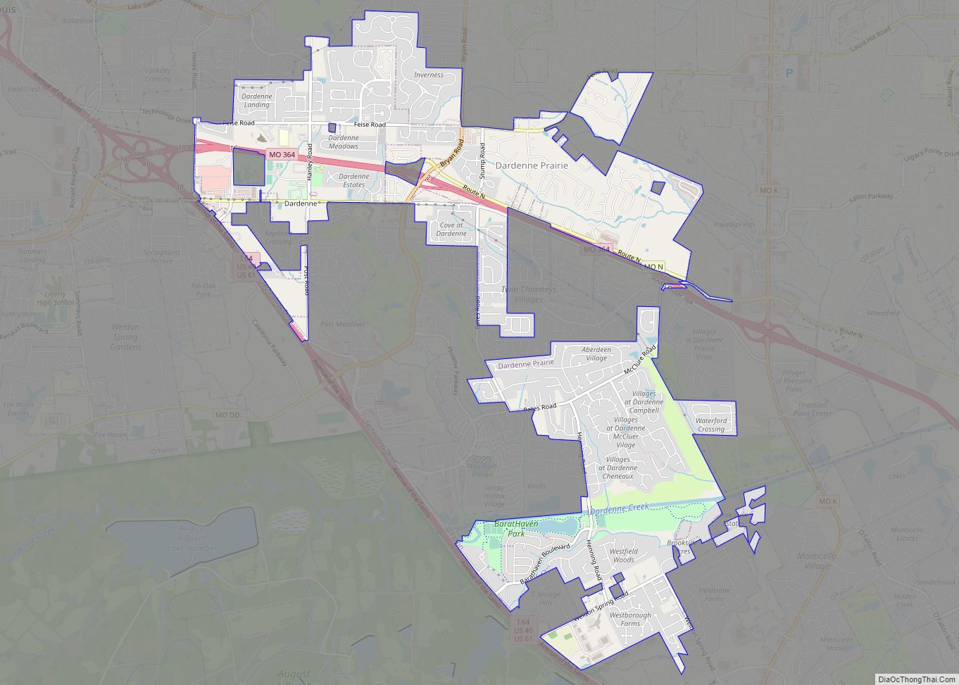
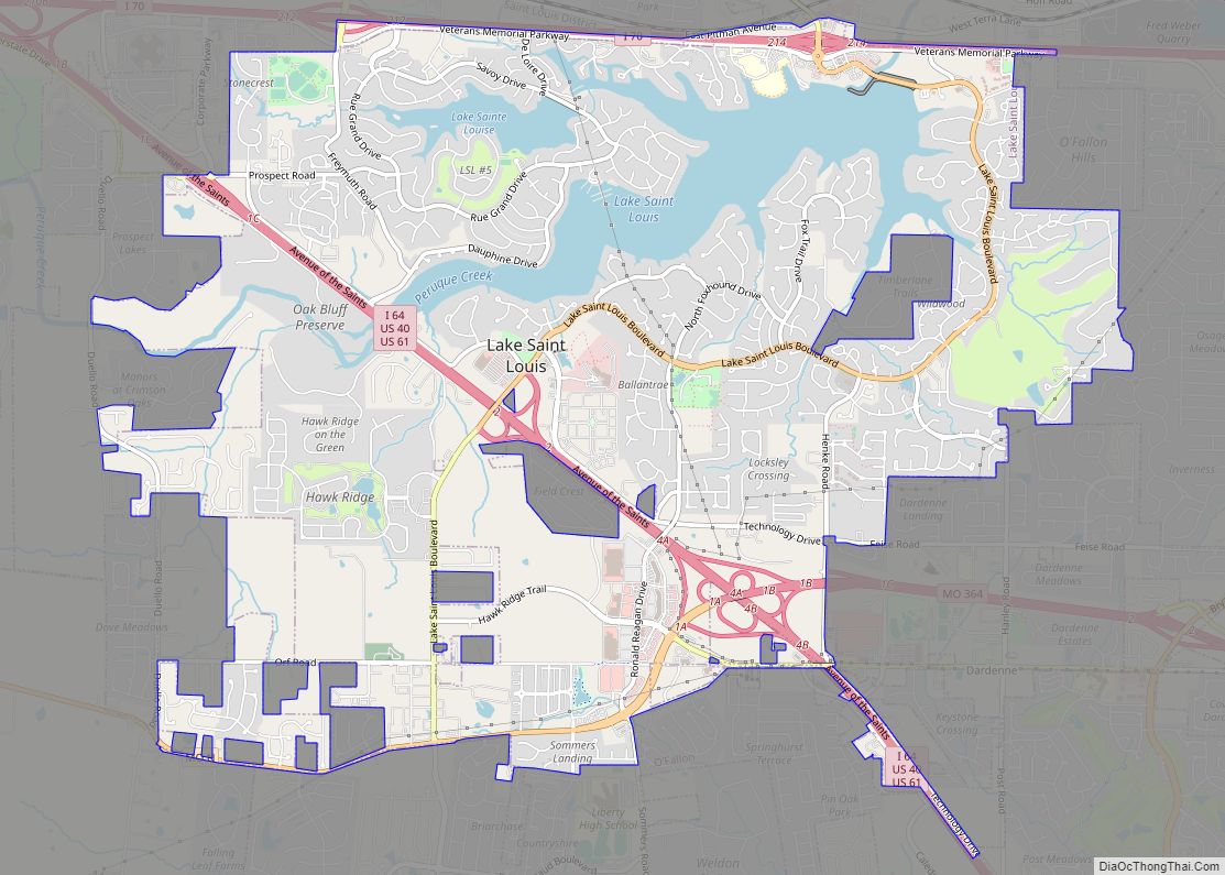
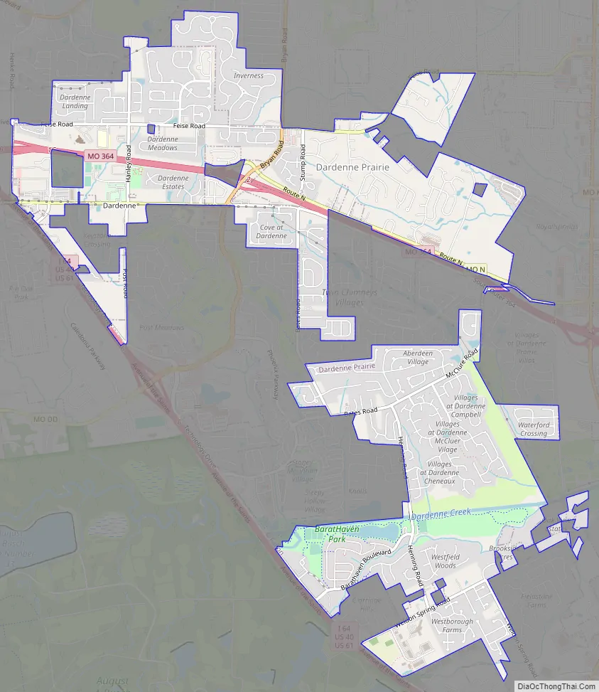
Dardenne Prairie Road Map
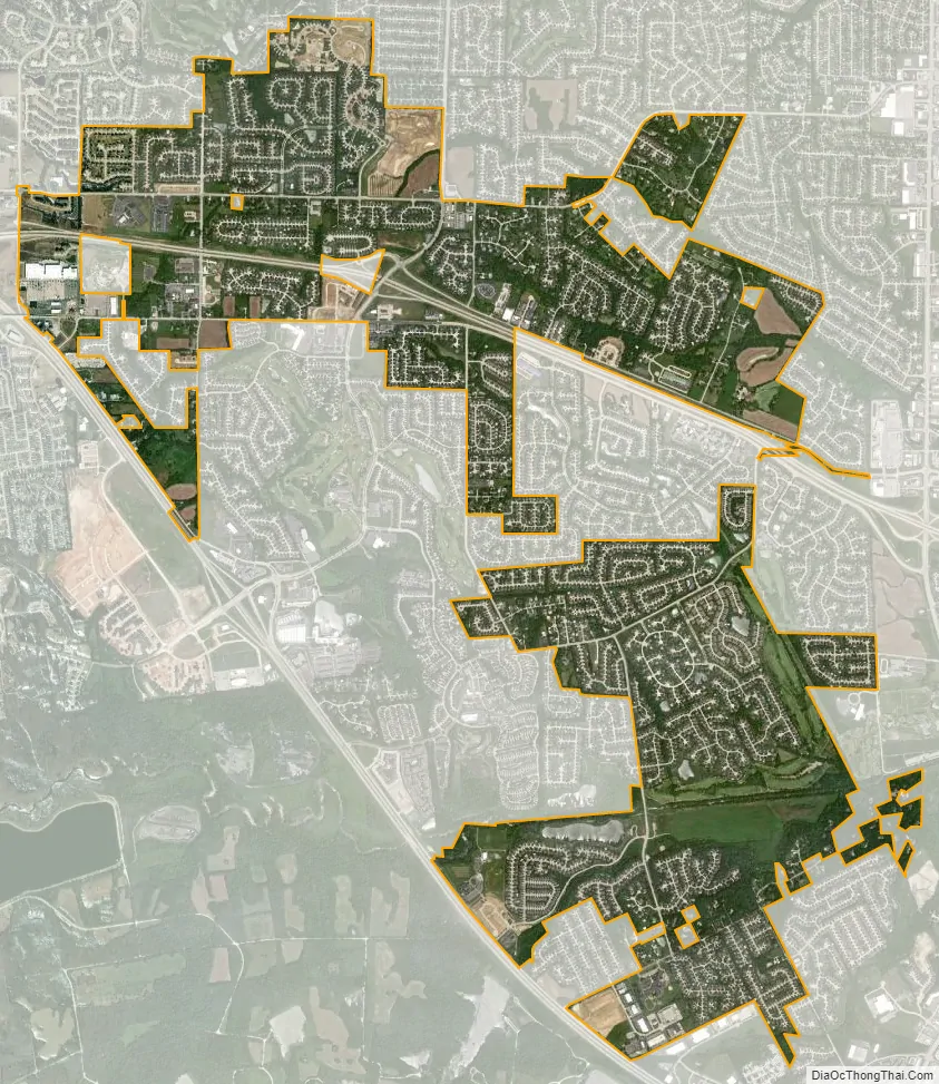
Dardenne Prairie city Satellite Map
Geography
Dardenne Prairie is located southwest of O’Fallon on Missouri Route N, just east of I-64. According to the United States Census Bureau, the city has a total area of 4.92 square miles (12.74 km), all land.
See also
Map of Missouri State and its subdivision:- Adair
- Andrew
- Atchison
- Audrain
- Barry
- Barton
- Bates
- Benton
- Bollinger
- Boone
- Buchanan
- Butler
- Caldwell
- Callaway
- Camden
- Cape Girardeau
- Carroll
- Carter
- Cass
- Cedar
- Chariton
- Christian
- Clark
- Clay
- Clinton
- Cole
- Cooper
- Crawford
- Dade
- Dallas
- Daviess
- De Kalb
- Dent
- Douglas
- Dunklin
- Franklin
- Gasconade
- Gentry
- Greene
- Grundy
- Harrison
- Henry
- Hickory
- Holt
- Howard
- Howell
- Iron
- Jackson
- Jasper
- Jefferson
- Johnson
- Knox
- Laclede
- Lafayette
- Lawrence
- Lewis
- Lincoln
- Linn
- Livingston
- Macon
- Madison
- Maries
- Marion
- McDonald
- Mercer
- Miller
- Mississippi
- Moniteau
- Monroe
- Montgomery
- Morgan
- New Madrid
- Newton
- Nodaway
- Oregon
- Osage
- Ozark
- Pemiscot
- Perry
- Pettis
- Phelps
- Pike
- Platte
- Polk
- Pulaski
- Putnam
- Ralls
- Randolph
- Ray
- Reynolds
- Ripley
- Saint Charles
- Saint Clair
- Saint Francois
- Saint Louis
- Sainte Genevieve
- Saline
- Schuyler
- Scotland
- Scott
- Shannon
- Shelby
- Stoddard
- Stone
- Sullivan
- Taney
- Texas
- Vernon
- Warren
- Washington
- Wayne
- Webster
- Worth
- Wright
- Alabama
- Alaska
- Arizona
- Arkansas
- California
- Colorado
- Connecticut
- Delaware
- District of Columbia
- Florida
- Georgia
- Hawaii
- Idaho
- Illinois
- Indiana
- Iowa
- Kansas
- Kentucky
- Louisiana
- Maine
- Maryland
- Massachusetts
- Michigan
- Minnesota
- Mississippi
- Missouri
- Montana
- Nebraska
- Nevada
- New Hampshire
- New Jersey
- New Mexico
- New York
- North Carolina
- North Dakota
- Ohio
- Oklahoma
- Oregon
- Pennsylvania
- Rhode Island
- South Carolina
- South Dakota
- Tennessee
- Texas
- Utah
- Vermont
- Virginia
- Washington
- West Virginia
- Wisconsin
- Wyoming