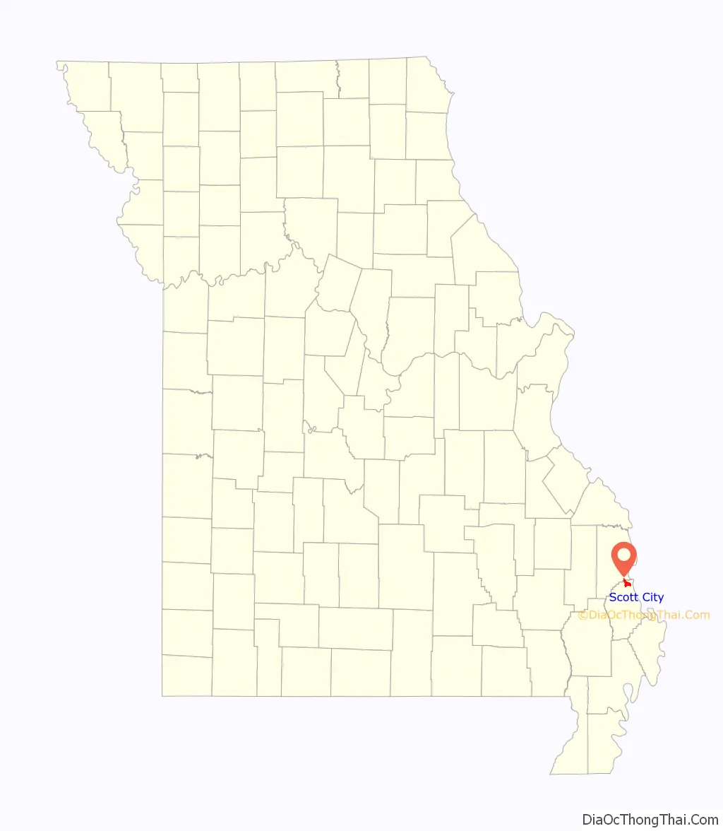
Scott City is a city in Cape Girardeau and Scott counties in the U.S. state of Missouri. The population was 4,346 at the 2020 census. The Scott County portion of Scott City (the majority) is part of the Sikeston Micropolitan Statistical Area, while the Cape Girardeau County portion is part of the Cape Girardeau–Jackson, MO-IL Metropolitan Statistical Area.
| Name: | Scott City city |
|---|---|
| LSAD Code: | 25 |
| LSAD Description: | city (suffix) |
| State: | Missouri |
| County: | Cape Girardeau County, Scott County |
| Elevation: | 400 ft (100 m) |
| Total Area: | 4.92 sq mi (12.74 km²) |
| Land Area: | 4.84 sq mi (12.54 km²) |
| Water Area: | 0.08 sq mi (0.21 km²) |
| Total Population: | 4,346 |
| Population Density: | 897.93/sq mi (346.68/km²) |
| ZIP code: | 63780 |
| Area code: | 573 |
| FIPS code: | 2966368 |
| GNISfeature ID: | 2396557 |
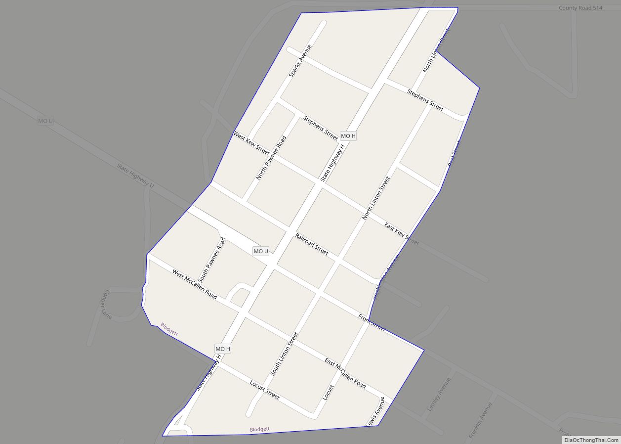
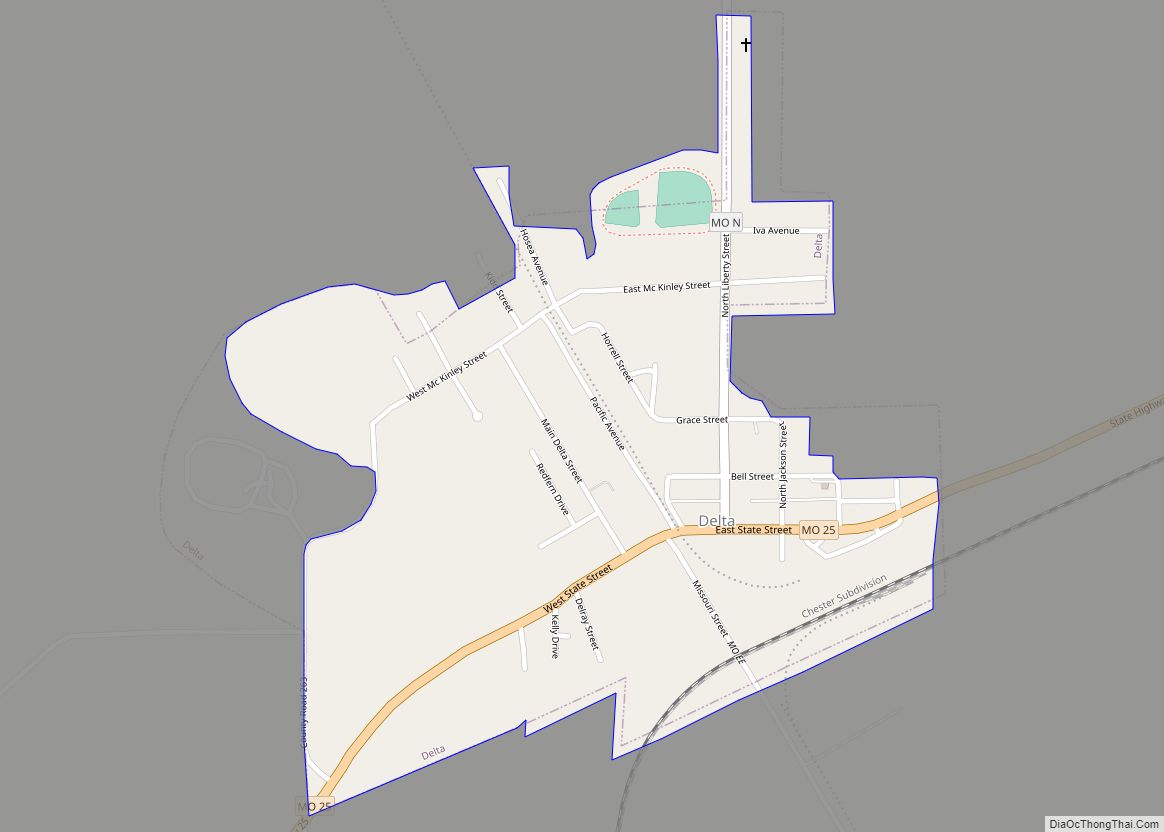
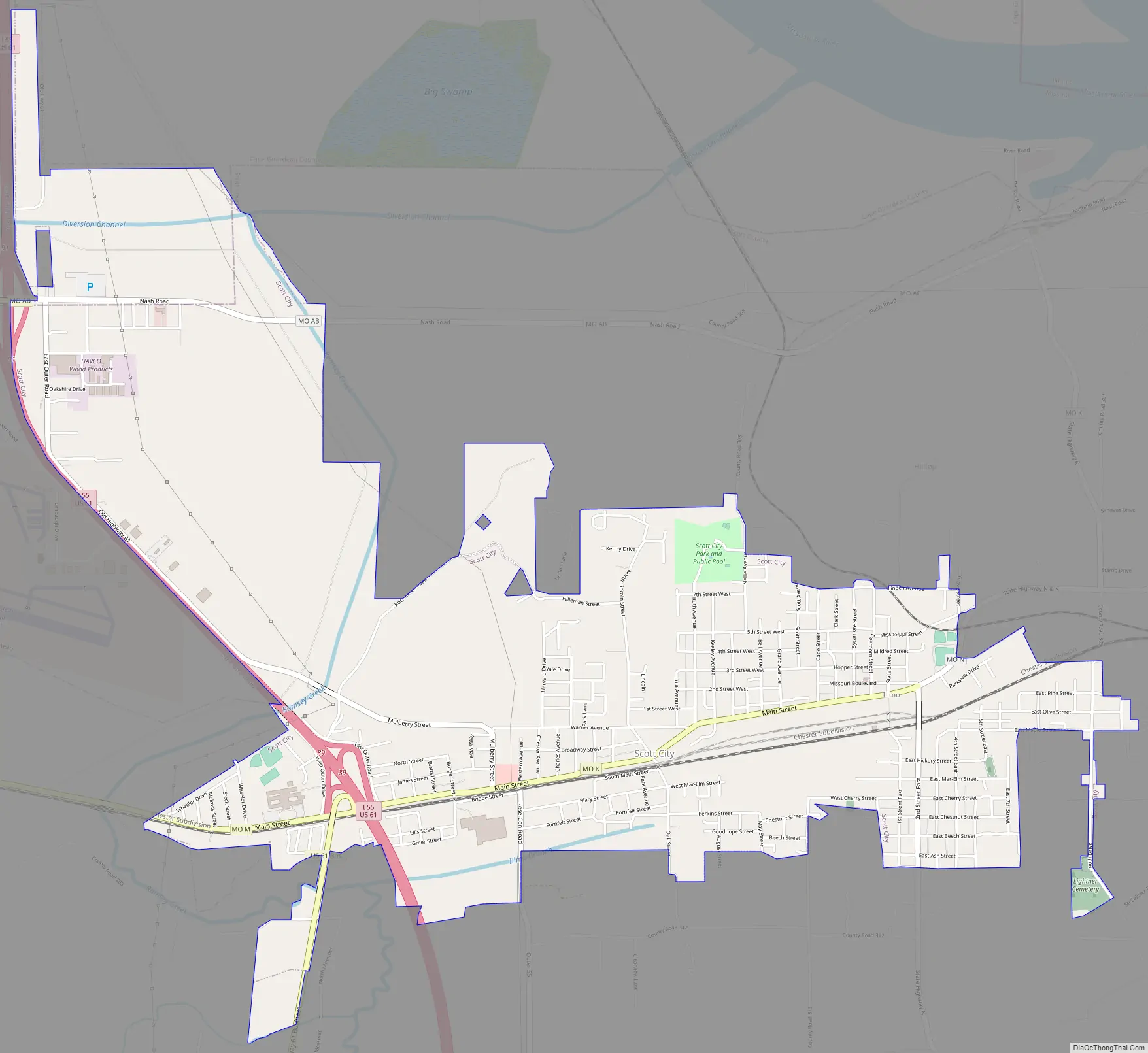
Online Interactive Map
Click on ![]() to view map in "full screen" mode.
to view map in "full screen" mode.
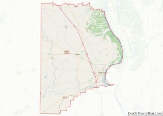
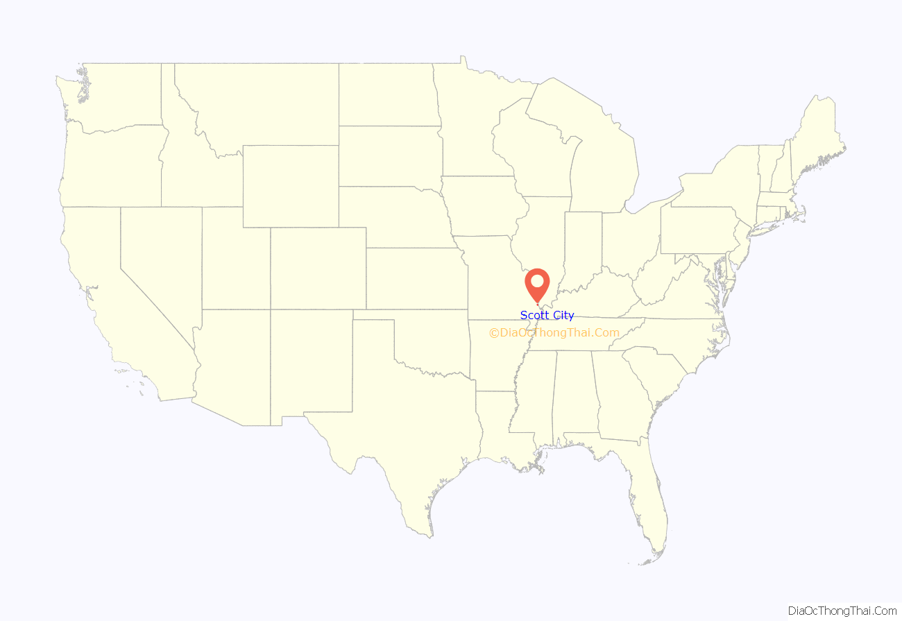
Scott City location map. Where is Scott City city?
History
The town of Fornfelt and the area of Ancell were consolidated with Scott City March 7, 1960 while Illmo, Missouri, was incorporated into Scott City in 1980. The town of Fornfelt was previously known as Edna, but this name was changed as it was too similar to Edina, Missouri. Whipporwhill Hollow was the previous name of Illmo. The present name is derived from Scott County.
In December 1848, a cholera epidemic was brought to New Orleans by emigrant ships. Within a few weeks, it was carried to all the principal cities on the Ohio and Mississippi Rivers. Six of the victims were Irish monks headed to a monastery near Dubuque, Iowa. These monks were buried a few hundred yards northwest of the Thebes-Scott City railroad bridge.
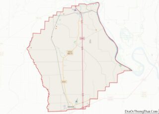
Scott City Road Map
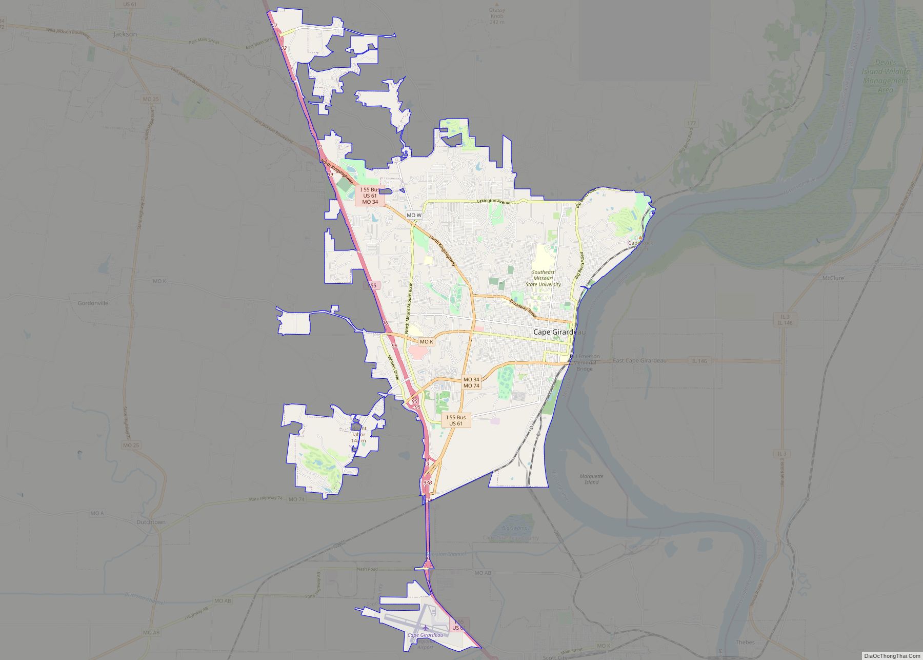
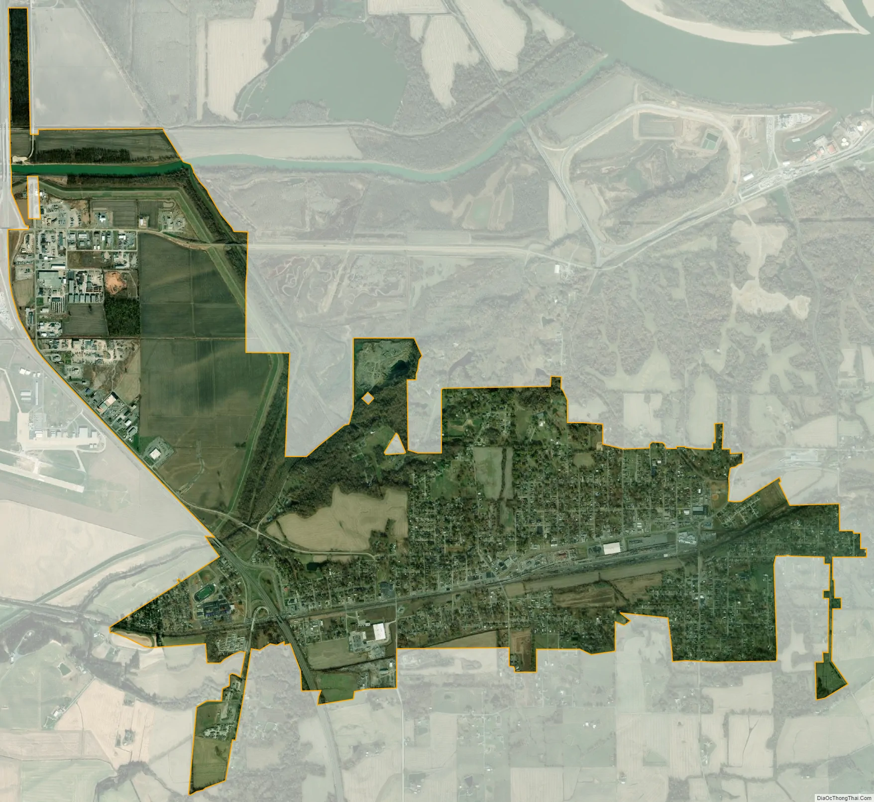
Scott City city Satellite Map
Geography
According to the United States Census Bureau, the city has a total area of 4.77 square miles (12.35 km), of which 4.69 square miles (12.15 km) is land and 0.08 square miles (0.21 km) is water.
See also
Map of Missouri State and its subdivision:- Adair
- Andrew
- Atchison
- Audrain
- Barry
- Barton
- Bates
- Benton
- Bollinger
- Boone
- Buchanan
- Butler
- Caldwell
- Callaway
- Camden
- Cape Girardeau
- Carroll
- Carter
- Cass
- Cedar
- Chariton
- Christian
- Clark
- Clay
- Clinton
- Cole
- Cooper
- Crawford
- Dade
- Dallas
- Daviess
- De Kalb
- Dent
- Douglas
- Dunklin
- Franklin
- Gasconade
- Gentry
- Greene
- Grundy
- Harrison
- Henry
- Hickory
- Holt
- Howard
- Howell
- Iron
- Jackson
- Jasper
- Jefferson
- Johnson
- Knox
- Laclede
- Lafayette
- Lawrence
- Lewis
- Lincoln
- Linn
- Livingston
- Macon
- Madison
- Maries
- Marion
- McDonald
- Mercer
- Miller
- Mississippi
- Moniteau
- Monroe
- Montgomery
- Morgan
- New Madrid
- Newton
- Nodaway
- Oregon
- Osage
- Ozark
- Pemiscot
- Perry
- Pettis
- Phelps
- Pike
- Platte
- Polk
- Pulaski
- Putnam
- Ralls
- Randolph
- Ray
- Reynolds
- Ripley
- Saint Charles
- Saint Clair
- Saint Francois
- Saint Louis
- Sainte Genevieve
- Saline
- Schuyler
- Scotland
- Scott
- Shannon
- Shelby
- Stoddard
- Stone
- Sullivan
- Taney
- Texas
- Vernon
- Warren
- Washington
- Wayne
- Webster
- Worth
- Wright
- Alabama
- Alaska
- Arizona
- Arkansas
- California
- Colorado
- Connecticut
- Delaware
- District of Columbia
- Florida
- Georgia
- Hawaii
- Idaho
- Illinois
- Indiana
- Iowa
- Kansas
- Kentucky
- Louisiana
- Maine
- Maryland
- Massachusetts
- Michigan
- Minnesota
- Mississippi
- Missouri
- Montana
- Nebraska
- Nevada
- New Hampshire
- New Jersey
- New Mexico
- New York
- North Carolina
- North Dakota
- Ohio
- Oklahoma
- Oregon
- Pennsylvania
- Rhode Island
- South Carolina
- South Dakota
- Tennessee
- Texas
- Utah
- Vermont
- Virginia
- Washington
- West Virginia
- Wisconsin
- Wyoming