St. Joseph is a city in and the county seat of Buchanan County, Missouri, United States. Small parts of St. Joseph extend into Andrew County. Located on the Missouri River, it is the principal city of the St. Joseph Metropolitan Statistical Area, which includes Buchanan, Andrew, and DeKalb counties in Missouri and Doniphan County, Kansas. As of the 2020 census, St. Joseph had a total population of 72,473, making it the eighth largest city in the state, and the third largest in Northwest Missouri. St. Joseph is located roughly thirty miles north of the Kansas City, Missouri, city limits and approximately 125 miles (201 km) south of Omaha, Nebraska.
The city was named after the town’s founder Joseph Robidoux and the biblical Saint Joseph. St. Joseph is home to Missouri Western State University. It is the birthplace of rapper and songwriter Eminem, who grew up in and has made his career in Detroit, Michigan. In the nineteenth century, it was the death place of American outlaw Jesse James. It was also the starting point of the Pony Express serving the West.
| Name: | St. Joseph city |
|---|---|
| LSAD Code: | 25 |
| LSAD Description: | city (suffix) |
| State: | Missouri |
| County: | Buchanan County |
| Elevation: | 889 ft (271 m) |
| Total Area: | 44.82 sq mi (116.09 km²) |
| Land Area: | 44.04 sq mi (114.05 km²) |
| Water Area: | 0.79 sq mi (2.04 km²) |
| Total Population: | 72,473 |
| Population Density: | 1,645.77/sq mi (635.43/km²) |
| ZIP code: | 64501-64508 |
| Area code: | 816 |
| FIPS code: | 2964550 |
| GNISfeature ID: | 2396498 |
Online Interactive Map
Click on ![]() to view map in "full screen" mode.
to view map in "full screen" mode.
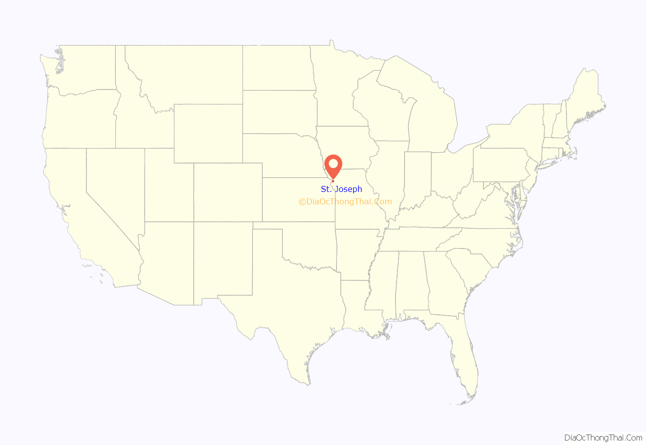
St. Joseph location map. Where is St. Joseph city?
History
St. Joseph was founded on the Missouri River by Joseph Robidoux, a local fur trader of French Canadian descent. It was officially incorporated in 1843. In its early days, it was a bustling outpost and rough frontier town, serving as a last supply point and jumping-off point for travelers on the Missouri River toward the “Wild West”. It was the westernmost point in the United States accessible by rail until after the American Civil War.
The main east–west downtown streets were named for Robidoux’s eight children: Faraon, Jules, Francois (Francis), Felix, Edmond, Charles, Sylvanie, and Messanie. The street between Sylvanie and Messanie was named for his second wife, Angelique.
St. Joseph, or “St. Joe”, as it was called by many, was a “Jumping-Off Point” for those migrants headed to the Oregon Territory in the mid-1800s. Such cities, including Independence, and St. Joseph, were where pioneers would stay and purchase supplies before they headed out in wagon trains across the Great Plains. The town was a very lively place.
Between April 3, 1860, and late October 1861, St. Joseph was one of the two endpoints of the Pony Express, which operated for a short period over the land then inaccessible by rail, to provide fast mail service. Along with the mail, the riders carried a small personal Bible. Today the Pony Express Museum hosts visitors in the former stables of the company. St. Joseph is identified by the slogan, “Where the Pony Express started and Jesse James ended.”
The town’s main hotel was Patee House. In the post-Civil War years, when the economy was down, the hotel was used for a time by the Patee Female College. It was occupied by the St. Joseph Female College up to 1880.
Outlaw Jesse James lived here under the alias “Mr. Howard”. The song, “Jesse James”, includes the lines, “…that dirty little coward that shot Mr. Howard has laid poor Jesse in his grave.” On April 3, 1882, James was killed at his home, originally located at 1318 Lafayette. It has been relocated next to the Patee House and still has the visible bullet hole from the fatal shot. It is now operated as the Jesse James Home Museum.
The Heaton-Bowman-Smith Funeral Home maintains a small museum about Jesse James. Their predecessors conducted his funeral.
St. Joseph was the second city in the US to install electric streetcars; regular service was initiated on July 4, 1888. Among properties listed on the National Register of Historic Places are Robidoux Row, buildings owned by the founder and used for his family trading and mercantile business; the Patee House, now serving as a museum of transportation, and the Missouri Theatre, an ornate movie palace. The Walnut Park Farm Historic District near St. Joseph was listed on the National Register of Historic Places in 1999.
St. Joseph’s population peaked in 1900, with a census population of 102,979. This population figure is questionable, as civic leaders were known to have tried to raise the numbers for that census. At the time, Saint Joseph was home to one of the largest wholesale companies in the Midwest, the Nave & McCord Mercantile Company, as well as the Hannibal and St. Joseph Railroad, and the C.D. Smith & Company. C.D. Smith later became C.D. Smith Healthcare.
Prior to 1954 and desegregation, Batlett High School served St. Joseph’s African American students. It became Horace Mann Elementary with desegregation. St. Joseph’s African American community leaders and Nathaniel C. Bruce were involved in and supported the establishment of Bartlett Agricultural and Industrial School in Dalton, Missouri. It was modeled after Tuskegee Institute and Hampton Institute.
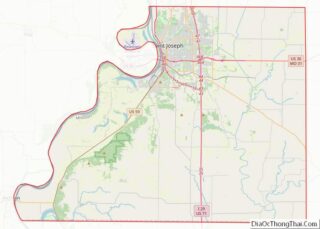
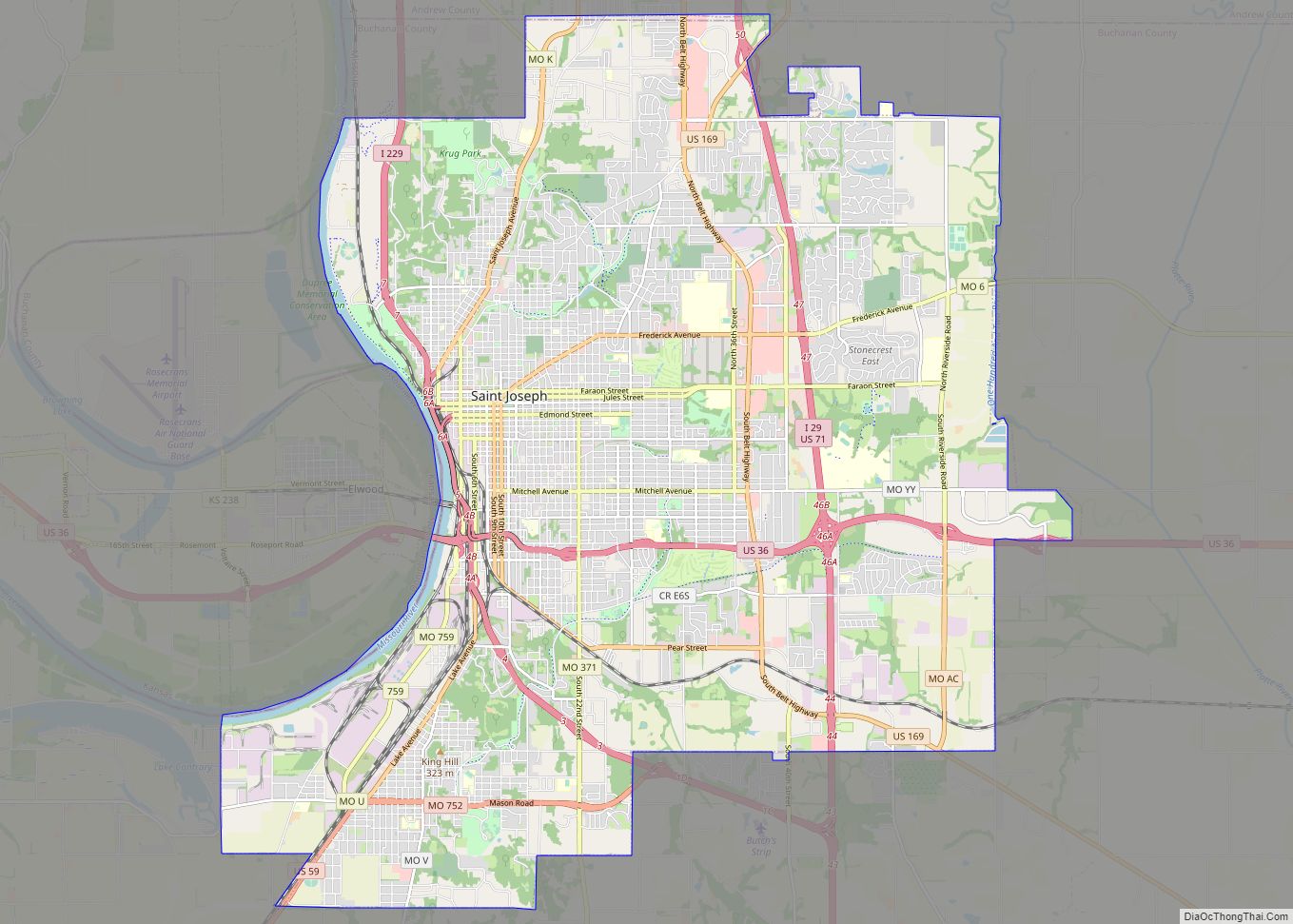
St. Joseph Road Map
St. Joseph city Satellite Map
Geography
Saint Joseph is located on the Missouri/Kansas border in northwestern Missouri, also close to Nebraska; Iowa is another 70 miles farther north. The nearest major metropolitan area to St. Joseph is the Kansas City Metropolitan Area, which begins approximately 30 miles (48 km) to the south. The nearest major airport is Kansas City International Airport, which is approximately 35 miles (56 km) to the south. According to the United States Census Bureau, the city has a total area of 44.77 square miles (115.95 km), of which 43.99 square miles (113.93 km) is land and 0.78 square miles (2.02 km) is water.
Under the Köppen climate classification, St. Joseph has a humid subtropical climate (Cfa) bordering on a humid continental climate (Dfa), although under United States isotherms of 32 °F (0 °C) the station is firmly continental. The monthly weather averages listed below are taken from National Weather Service 1981–2010 normals recorded at Rosecrans Airport. Because of the airport’s location near the Missouri River and at a low elevation, official overnight lows during wintertime especially are often several degrees colder than at other places within the city. Snowfall is not recorded at the St. Joseph weather station although surrounding reporting stations typically receive 12-20 inches of snowfall annually.
See also
Map of Missouri State and its subdivision:- Adair
- Andrew
- Atchison
- Audrain
- Barry
- Barton
- Bates
- Benton
- Bollinger
- Boone
- Buchanan
- Butler
- Caldwell
- Callaway
- Camden
- Cape Girardeau
- Carroll
- Carter
- Cass
- Cedar
- Chariton
- Christian
- Clark
- Clay
- Clinton
- Cole
- Cooper
- Crawford
- Dade
- Dallas
- Daviess
- De Kalb
- Dent
- Douglas
- Dunklin
- Franklin
- Gasconade
- Gentry
- Greene
- Grundy
- Harrison
- Henry
- Hickory
- Holt
- Howard
- Howell
- Iron
- Jackson
- Jasper
- Jefferson
- Johnson
- Knox
- Laclede
- Lafayette
- Lawrence
- Lewis
- Lincoln
- Linn
- Livingston
- Macon
- Madison
- Maries
- Marion
- McDonald
- Mercer
- Miller
- Mississippi
- Moniteau
- Monroe
- Montgomery
- Morgan
- New Madrid
- Newton
- Nodaway
- Oregon
- Osage
- Ozark
- Pemiscot
- Perry
- Pettis
- Phelps
- Pike
- Platte
- Polk
- Pulaski
- Putnam
- Ralls
- Randolph
- Ray
- Reynolds
- Ripley
- Saint Charles
- Saint Clair
- Saint Francois
- Saint Louis
- Sainte Genevieve
- Saline
- Schuyler
- Scotland
- Scott
- Shannon
- Shelby
- Stoddard
- Stone
- Sullivan
- Taney
- Texas
- Vernon
- Warren
- Washington
- Wayne
- Webster
- Worth
- Wright
- Alabama
- Alaska
- Arizona
- Arkansas
- California
- Colorado
- Connecticut
- Delaware
- District of Columbia
- Florida
- Georgia
- Hawaii
- Idaho
- Illinois
- Indiana
- Iowa
- Kansas
- Kentucky
- Louisiana
- Maine
- Maryland
- Massachusetts
- Michigan
- Minnesota
- Mississippi
- Missouri
- Montana
- Nebraska
- Nevada
- New Hampshire
- New Jersey
- New Mexico
- New York
- North Carolina
- North Dakota
- Ohio
- Oklahoma
- Oregon
- Pennsylvania
- Rhode Island
- South Carolina
- South Dakota
- Tennessee
- Texas
- Utah
- Vermont
- Virginia
- Washington
- West Virginia
- Wisconsin
- Wyoming
