Angier is a town in the Black River Township of Harnett County, North Carolina, United States. The population was 4,350 at the 2010 census and estimated as of 2018 to be 5,253. Angier is a part of the greater Raleigh–Durham–Cary Combined Statistical Area (CSA) as defined by the United States Census Bureau.
| Name: | Angier town |
|---|---|
| LSAD Code: | 43 |
| LSAD Description: | town (suffix) |
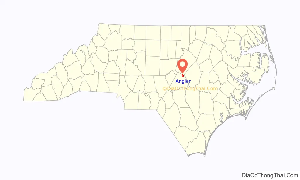
| State: | North Carolina |
| County: | Harnett County, Wake County |
| Elevation: | 292 ft (89 m) |
| Total Area: | 3.86 sq mi (10.00 km²) |
| Land Area: | 3.83 sq mi (9.91 km²) |
| Water Area: | 0.03 sq mi (0.09 km²) |
| Total Population: | 5,265 |
| Population Density: | 1,376.47/sq mi (531.39/km²) |
| ZIP code: | 27501 |
| Area code: | 919 |
| FIPS code: | 3701400 |
| GNISfeature ID: | 0980193 |
| Website: | www.angier.org |
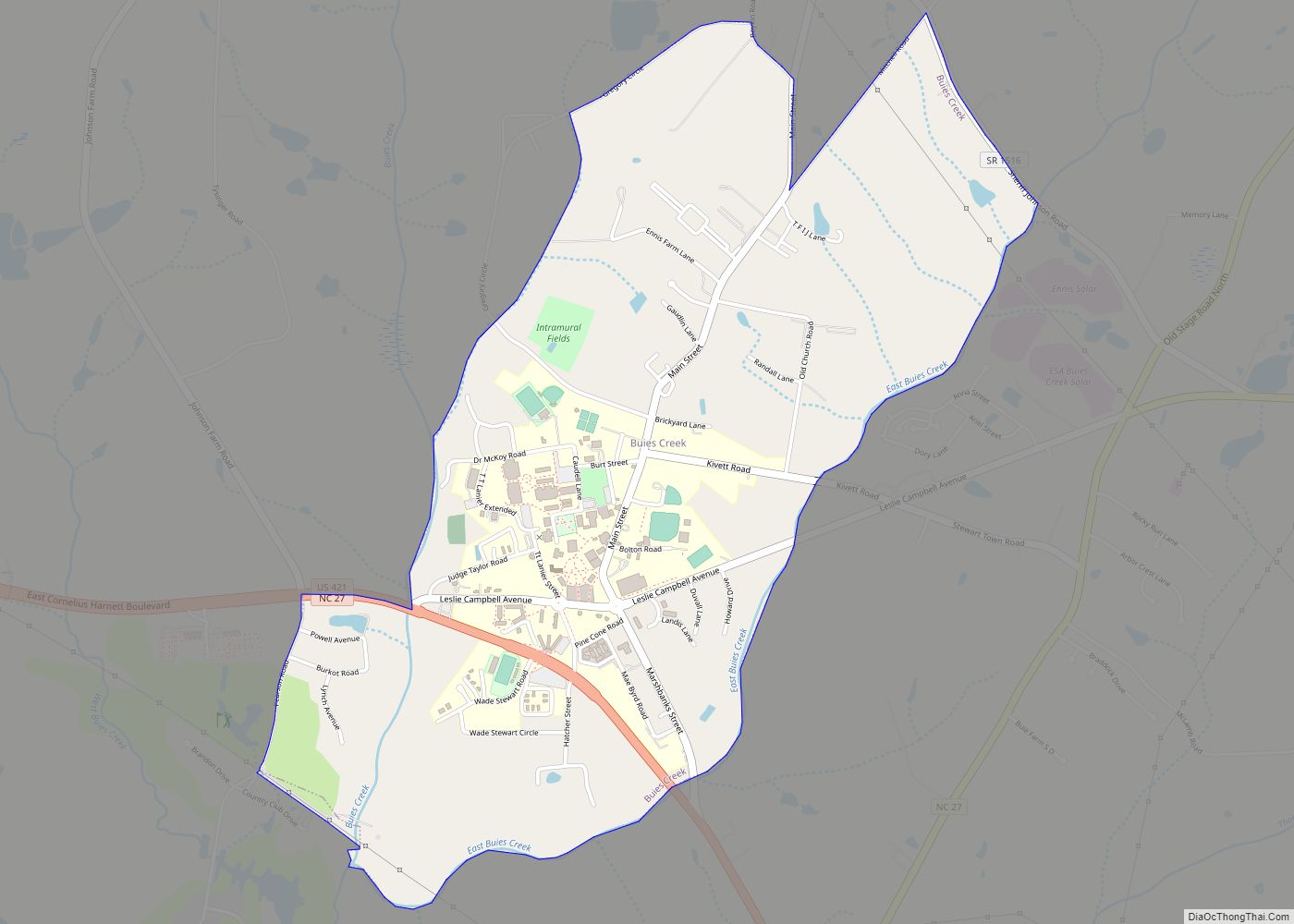
Online Interactive Map
Click on ![]() to view map in "full screen" mode.
to view map in "full screen" mode.
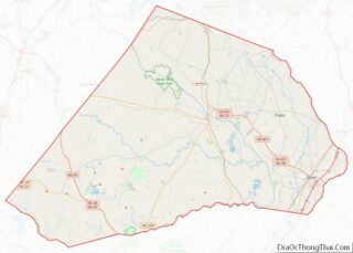
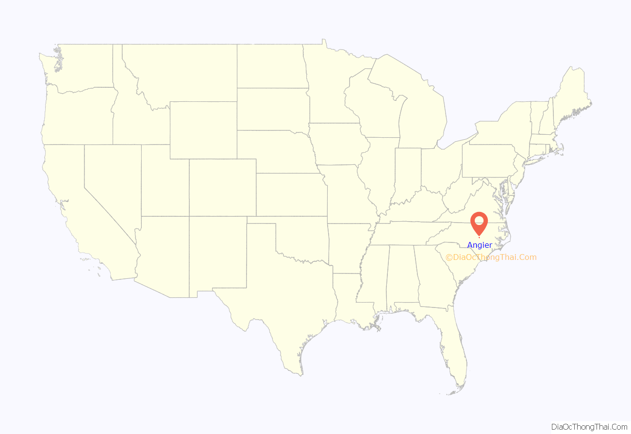
Angier location map. Where is Angier town?
History
The Williams Grove School was listed on the National Register of Historic Places in 1995.
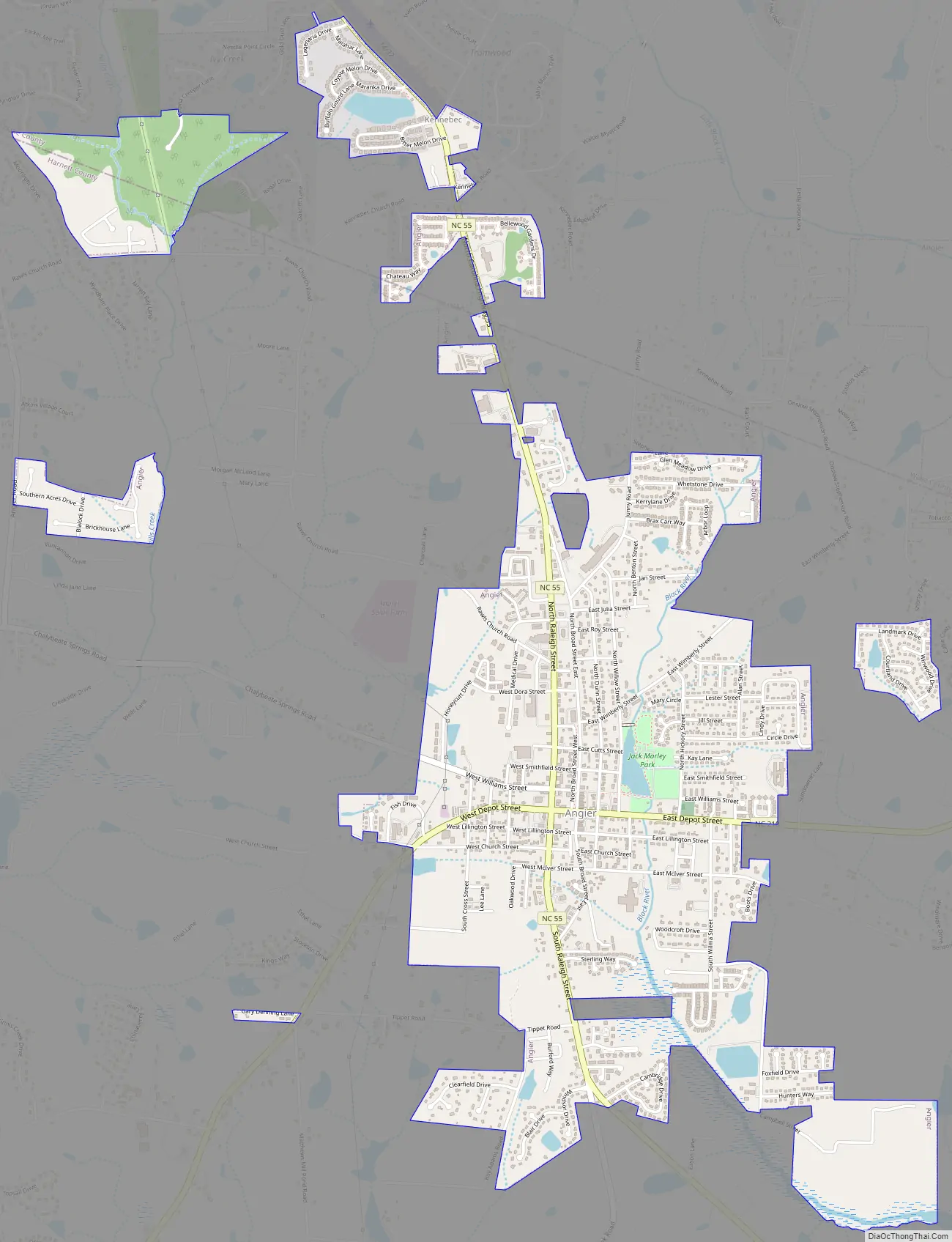
Angier Road Map
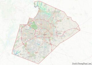
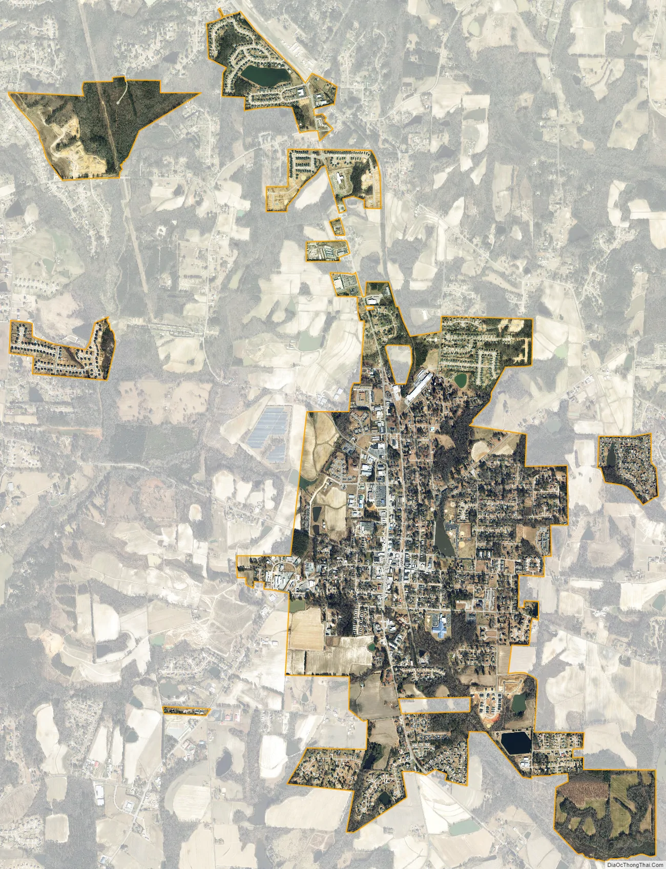
Angier city Satellite Map
Geography
Angier is located in northern Harnett County at 35° 30’31″ North, 78° 44’15″ West (35.508587, -78.737487). A small portion of the town is in Wake County to the north. North Carolina Highway 55 (Raleigh Street) passes through the center of town, leading north 7 miles (11 km) to Fuquay-Varina and south 14 miles (23 km) to Erwin. Raleigh, the state capital, is 22 miles (35 km) to the north via NC-55 and U.S. Route 401. North Carolina Highway 210 (Depot Street) crosses Highway 55 in the center of Angier, leading east 10 miles (16 km) to Interstate 40 and southwest 9 miles (14 km) to Lillington, the Harnett county seat.
According to the United States Census Bureau, the town of Angier has a total area of 2.9 square miles (7.6 km), of which 2.9 square miles (7.5 km) are land and 0.04 square miles (0.1 km), or 1.18%, are water.
See also
Map of North Carolina State and its subdivision:- Alamance
- Alexander
- Alleghany
- Anson
- Ashe
- Avery
- Beaufort
- Bertie
- Bladen
- Brunswick
- Buncombe
- Burke
- Cabarrus
- Caldwell
- Camden
- Carteret
- Caswell
- Catawba
- Chatham
- Cherokee
- Chowan
- Clay
- Cleveland
- Columbus
- Craven
- Cumberland
- Currituck
- Dare
- Davidson
- Davie
- Duplin
- Durham
- Edgecombe
- Forsyth
- Franklin
- Gaston
- Gates
- Graham
- Granville
- Greene
- Guilford
- Halifax
- Harnett
- Haywood
- Henderson
- Hertford
- Hoke
- Hyde
- Iredell
- Jackson
- Johnston
- Jones
- Lee
- Lenoir
- Lincoln
- Macon
- Madison
- Martin
- McDowell
- Mecklenburg
- Mitchell
- Montgomery
- Moore
- Nash
- New Hanover
- Northampton
- Onslow
- Orange
- Pamlico
- Pasquotank
- Pender
- Perquimans
- Person
- Pitt
- Polk
- Randolph
- Richmond
- Robeson
- Rockingham
- Rowan
- Rutherford
- Sampson
- Scotland
- Stanly
- Stokes
- Surry
- Swain
- Transylvania
- Tyrrell
- Union
- Vance
- Wake
- Warren
- Washington
- Watauga
- Wayne
- Wilkes
- Wilson
- Yadkin
- Yancey
- Alabama
- Alaska
- Arizona
- Arkansas
- California
- Colorado
- Connecticut
- Delaware
- District of Columbia
- Florida
- Georgia
- Hawaii
- Idaho
- Illinois
- Indiana
- Iowa
- Kansas
- Kentucky
- Louisiana
- Maine
- Maryland
- Massachusetts
- Michigan
- Minnesota
- Mississippi
- Missouri
- Montana
- Nebraska
- Nevada
- New Hampshire
- New Jersey
- New Mexico
- New York
- North Carolina
- North Dakota
- Ohio
- Oklahoma
- Oregon
- Pennsylvania
- Rhode Island
- South Carolina
- South Dakota
- Tennessee
- Texas
- Utah
- Vermont
- Virginia
- Washington
- West Virginia
- Wisconsin
- Wyoming