Bennett is a town in Chatham County, North Carolina, United States.
| Name: | Bennett CDP |
|---|---|
| LSAD Code: | 57 |
| LSAD Description: | CDP (suffix) |
| State: | North Carolina |
| County: | Chatham County |
| FIPS code: | 3705020 |
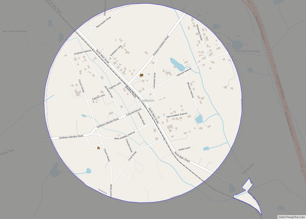
Online Interactive Map
Click on ![]() to view map in "full screen" mode.
to view map in "full screen" mode.
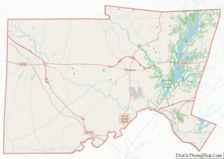
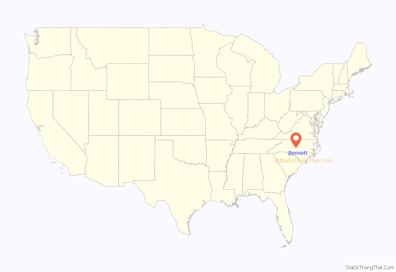
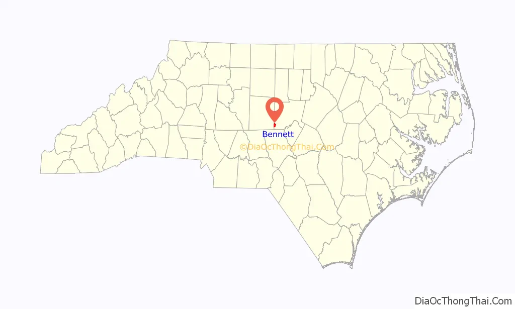
Bennett location map. Where is Bennett CDP?
History
Founded as “Boaz” in 1888, the area was inhabited by the Scott, Kidd, Powers, Sizemore and Heck families, until the Bonlee & Western Railroad reached the area in 1910. The name changed to “Bennett” in 1910, after Atlantic & Yadkin Railroad Superintendent J.M. Bennett. Bennett was incorporated in 1915, with H.A. Denson, a physician, being the first mayor. The new town was to be a city and was built with 80-foot-wide (24 m) streets and 10-foot (3 m) alleys laid out in a grid. At one time it had a hotel, a ladies emporium, a small mall owned by D.R. Smith, a jewelry store and chocolate shop combination, a millinery shop, and several grocery stores. A small house was converted into a silent movie theater, and they had an auditorium for local plays called the “Arbor”.
The bank was robbed in 1927 by Bill Payne and Wash Turner. They were not caught after the robbery, but much later (after a life of crime) they were convicted out in the western states. The town was home to Bennett Christian Church and Bennett Baptist Church; however, only the latter still stands. The train made its last run in 1928, before the Great Depression shrunk the town. A handful of people still call it home, and most of the original houses still stand. The town is well kept up, but lack of access to county water has kept the community small.
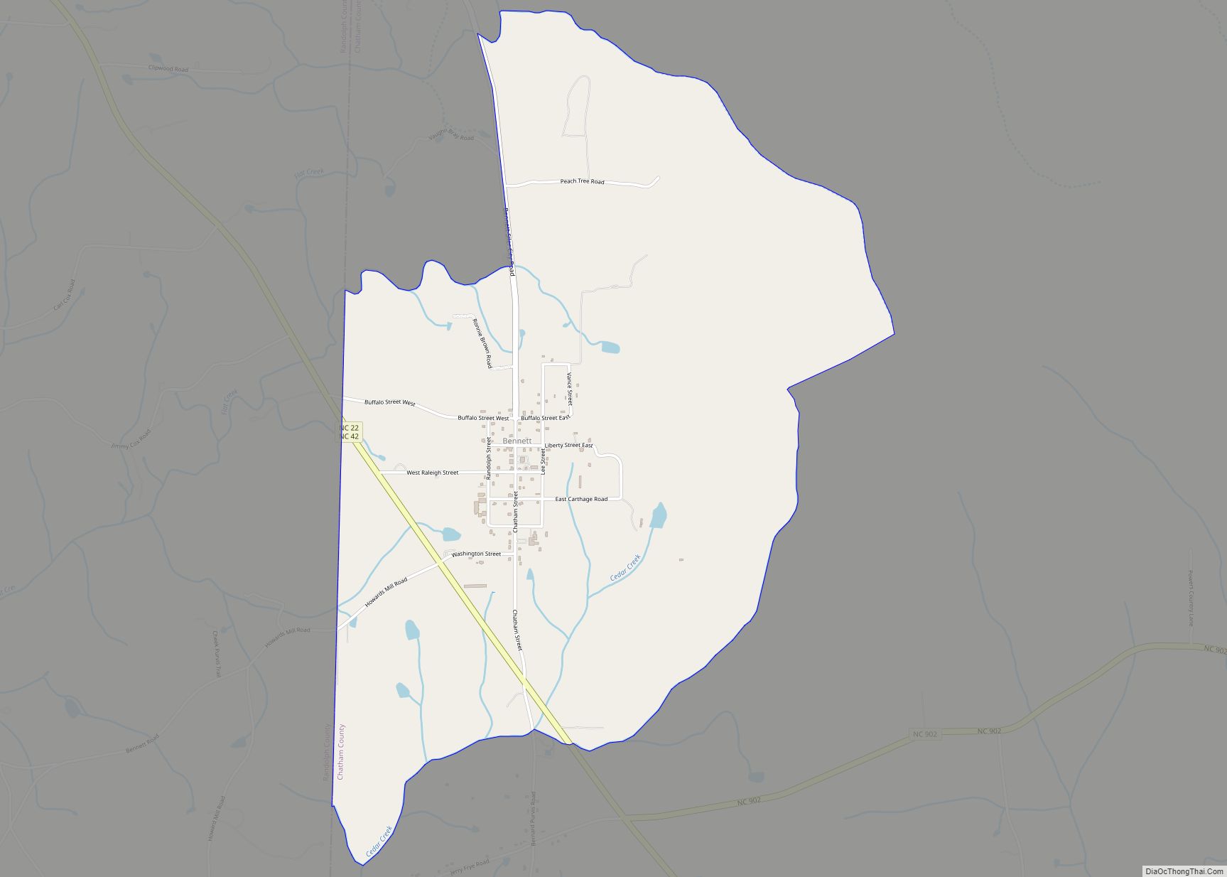
Bennett Road Map
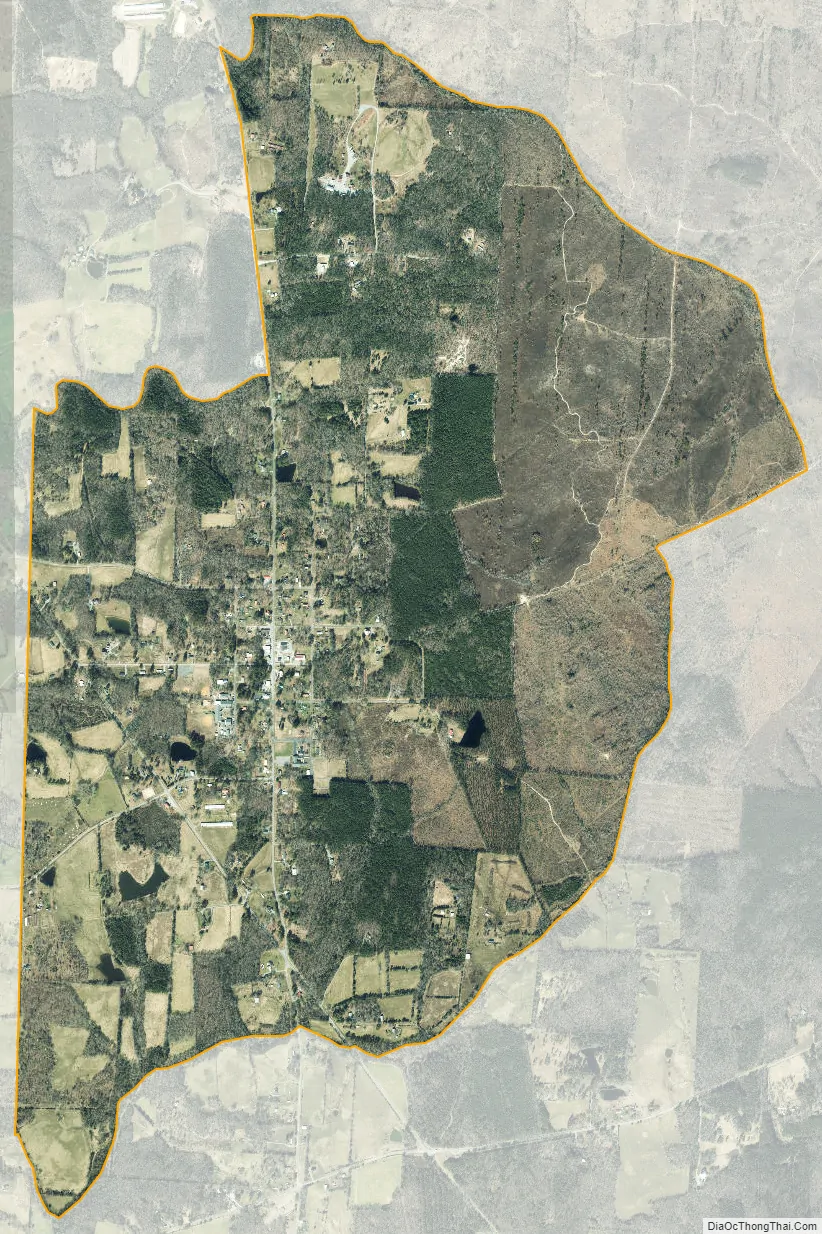
Bennett city Satellite Map
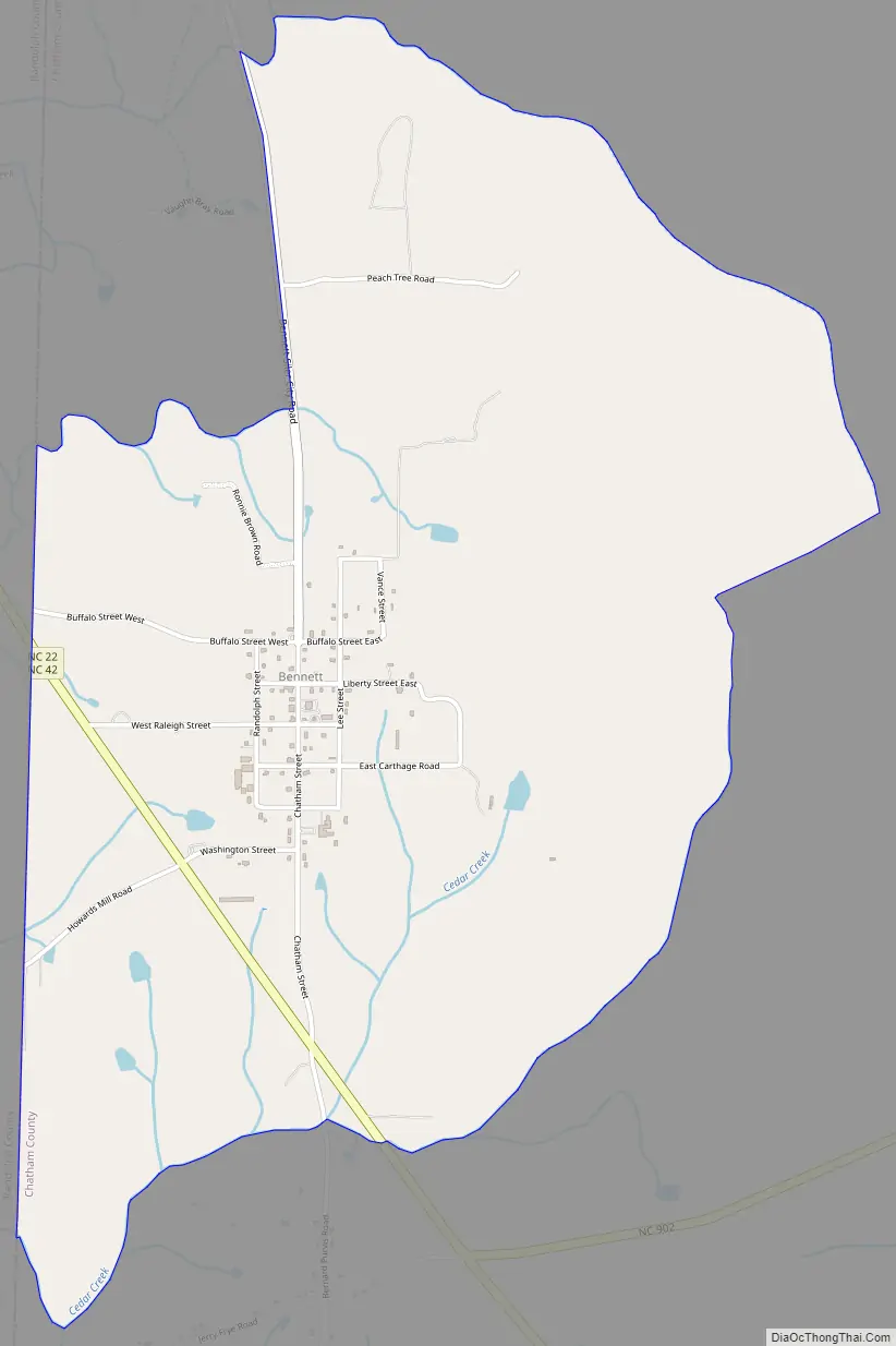
Geography
Bennett is located near the southwestern corner of Chatham County and is bordered on its western side by Randolph County. North Carolina Highways 22 and 42 run concurrently just southwest of the center of the town. NC 22 leads north 14 miles (23 km) to Ramseur and south 18 miles (29 km) to Carthage, while NC 42 leads northwest 22 miles (35 km) to Asheboro and east 24 miles (39 km) to Sanford. NC 902 meets the two highways just south of Bennett and leads northeast 25 miles (40 km) to Pittsboro, the Chatham County seat.
See also
Map of North Carolina State and its subdivision:- Alamance
- Alexander
- Alleghany
- Anson
- Ashe
- Avery
- Beaufort
- Bertie
- Bladen
- Brunswick
- Buncombe
- Burke
- Cabarrus
- Caldwell
- Camden
- Carteret
- Caswell
- Catawba
- Chatham
- Cherokee
- Chowan
- Clay
- Cleveland
- Columbus
- Craven
- Cumberland
- Currituck
- Dare
- Davidson
- Davie
- Duplin
- Durham
- Edgecombe
- Forsyth
- Franklin
- Gaston
- Gates
- Graham
- Granville
- Greene
- Guilford
- Halifax
- Harnett
- Haywood
- Henderson
- Hertford
- Hoke
- Hyde
- Iredell
- Jackson
- Johnston
- Jones
- Lee
- Lenoir
- Lincoln
- Macon
- Madison
- Martin
- McDowell
- Mecklenburg
- Mitchell
- Montgomery
- Moore
- Nash
- New Hanover
- Northampton
- Onslow
- Orange
- Pamlico
- Pasquotank
- Pender
- Perquimans
- Person
- Pitt
- Polk
- Randolph
- Richmond
- Robeson
- Rockingham
- Rowan
- Rutherford
- Sampson
- Scotland
- Stanly
- Stokes
- Surry
- Swain
- Transylvania
- Tyrrell
- Union
- Vance
- Wake
- Warren
- Washington
- Watauga
- Wayne
- Wilkes
- Wilson
- Yadkin
- Yancey
- Alabama
- Alaska
- Arizona
- Arkansas
- California
- Colorado
- Connecticut
- Delaware
- District of Columbia
- Florida
- Georgia
- Hawaii
- Idaho
- Illinois
- Indiana
- Iowa
- Kansas
- Kentucky
- Louisiana
- Maine
- Maryland
- Massachusetts
- Michigan
- Minnesota
- Mississippi
- Missouri
- Montana
- Nebraska
- Nevada
- New Hampshire
- New Jersey
- New Mexico
- New York
- North Carolina
- North Dakota
- Ohio
- Oklahoma
- Oregon
- Pennsylvania
- Rhode Island
- South Carolina
- South Dakota
- Tennessee
- Texas
- Utah
- Vermont
- Virginia
- Washington
- West Virginia
- Wisconsin
- Wyoming