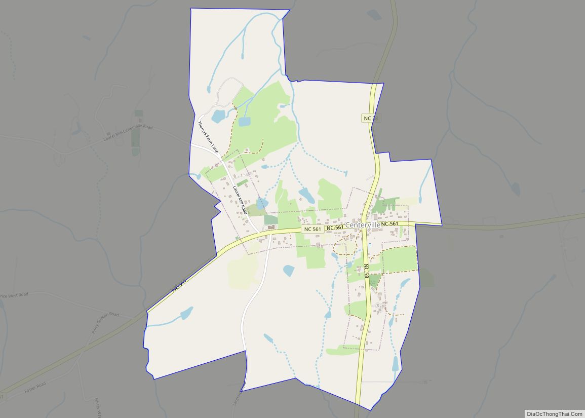
Centerville is a census-designated place (CDP) in the rural northeastern corner of Franklin County, North Carolina, United States. The population was 149 at the 2020 census. It was an incorporated town from 1965 to 2017.
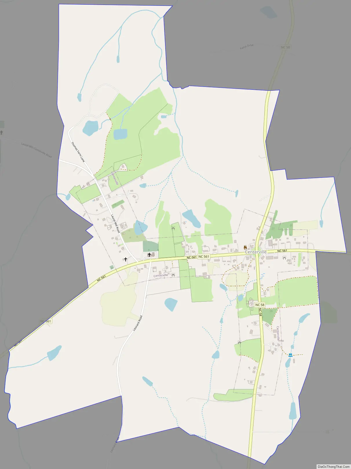
There is not a post office in Centerville, and thus no zip code; it simply uses that of Louisburg, which is located 12 miles (19 km) west. Centerville is centered on “the crossroads”, which is the intersection of NC-561 and NC-58 and the site of two small old-fashioned general stores.
Centerville has a church, (Centerville Baptist Church, a member of the Southern Baptist Convention), and volunteer fire department. There is not a police department, so Centerville, like the surrounding unincorporated area, is patrolled by the Franklin County Sheriff’s Office.
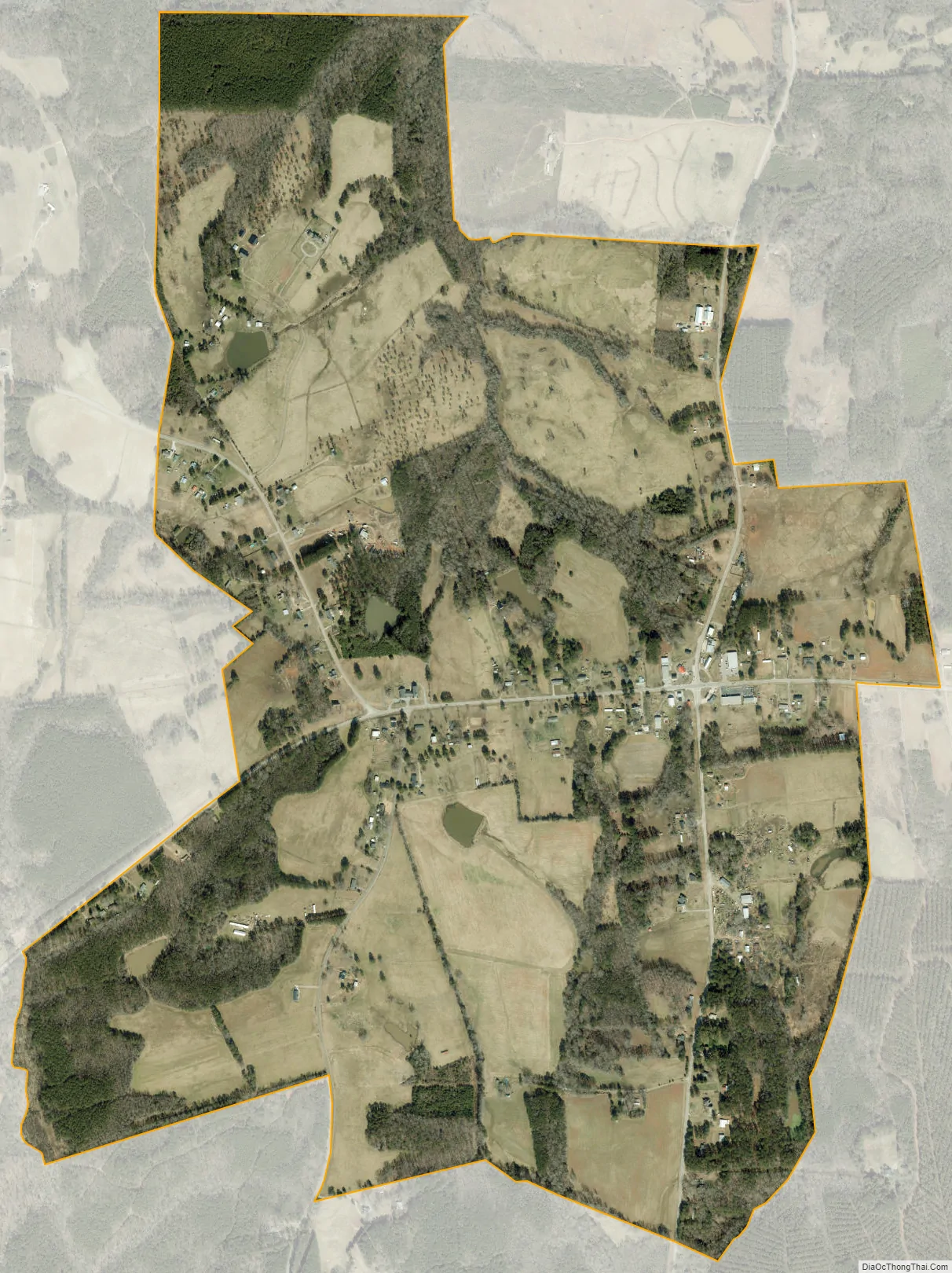
As is common in the rural stretches of eastern North Carolina, many of the houses in and around Centerville are quite old and in poor states of repair, and agriculture is the main use of land. Tobacco, soybeans, corn, and hay are the main crops.
Centerville includes many antique buildings from its heyday, including the now-defunct Serepta Church, a former Methodist church located at the intersection of NC-561 and Centerville-Laurel Mill Road.
Perry School and Vine Hill are listed on the National Register of Historic Places.
| Name: | Centerville CDP |
|---|---|
| LSAD Code: | 57 |
| LSAD Description: | CDP (suffix) |
| State: | North Carolina |
| County: | Franklin County |
| Incorporated: | May 25, 1965 |
| Elevation: | 340 ft (100 m) |
| Total Area: | 1.65 sq mi (4.28 km²) |
| Land Area: | 1.63 sq mi (4.22 km²) |
| Water Area: | 0.02 sq mi (0.06 km²) |
| Total Population: | 149 |
| Population Density: | 91.52/sq mi (35.34/km²) |
| Area code: | 919 and 984 |
| FIPS code: | 3711560 |
| GNISfeature ID: | 0982946 |
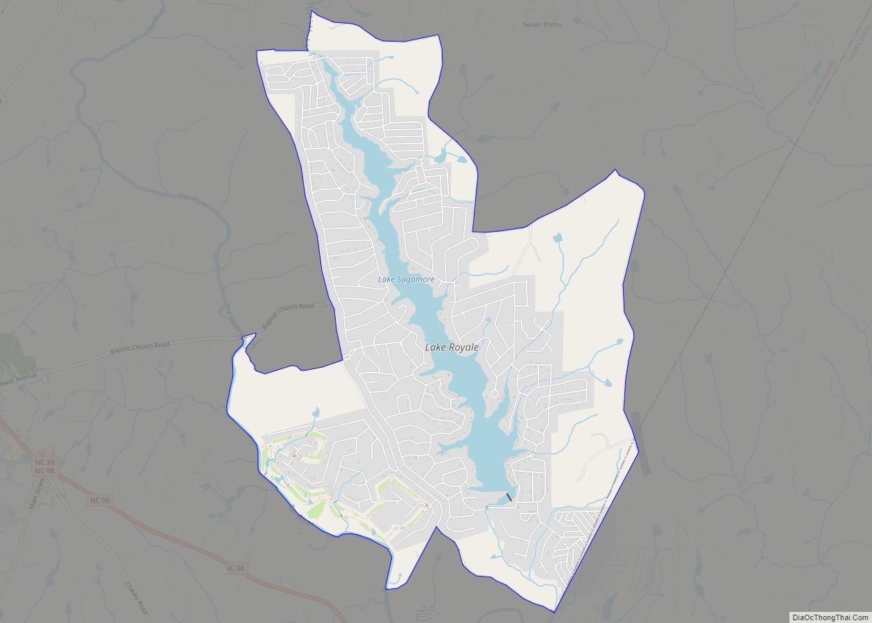
Online Interactive Map
Click on ![]() to view map in "full screen" mode.
to view map in "full screen" mode.
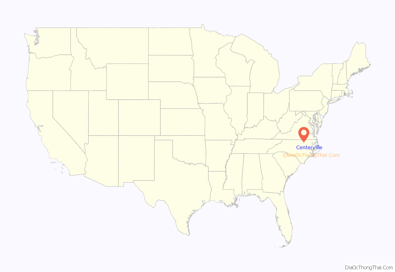
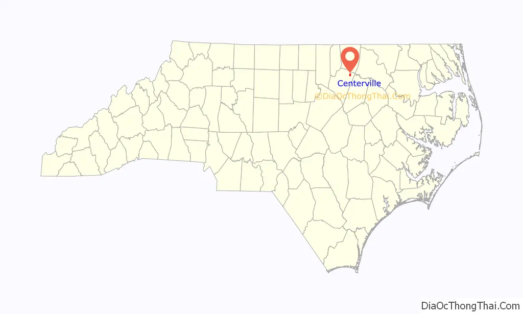
Centerville location map. Where is Centerville CDP?
History
Centerville was established circa 1882 and named for its central location between the towns of Louisburg, Warrenton and Littleton. It was incorporated in 1965, four years after the dissolution of the nearby town of Wood.
Centerville Road Map
Centerville city Satellite Map
Geography
Centerville is located at 36°11′6″N 78°6′41″W / 36.18500°N 78.11139°W / 36.18500; -78.11139 (36.184980, −78.111252).
According to the United States Census Bureau, the city has a total area of 0.3 square miles (0.78 km), all land.
See also
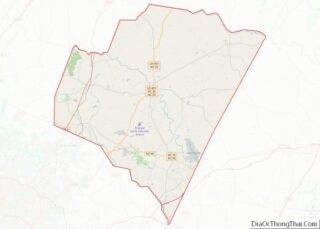
Map of North Carolina State and its subdivision:- Alamance
- Alexander
- Alleghany
- Anson
- Ashe
- Avery
- Beaufort
- Bertie
- Bladen
- Brunswick
- Buncombe
- Burke
- Cabarrus
- Caldwell
- Camden
- Carteret
- Caswell
- Catawba
- Chatham
- Cherokee
- Chowan
- Clay
- Cleveland
- Columbus
- Craven
- Cumberland
- Currituck
- Dare
- Davidson
- Davie
- Duplin
- Durham
- Edgecombe
- Forsyth
- Franklin
- Gaston
- Gates
- Graham
- Granville
- Greene
- Guilford
- Halifax
- Harnett
- Haywood
- Henderson
- Hertford
- Hoke
- Hyde
- Iredell
- Jackson
- Johnston
- Jones
- Lee
- Lenoir
- Lincoln
- Macon
- Madison
- Martin
- McDowell
- Mecklenburg
- Mitchell
- Montgomery
- Moore
- Nash
- New Hanover
- Northampton
- Onslow
- Orange
- Pamlico
- Pasquotank
- Pender
- Perquimans
- Person
- Pitt
- Polk
- Randolph
- Richmond
- Robeson
- Rockingham
- Rowan
- Rutherford
- Sampson
- Scotland
- Stanly
- Stokes
- Surry
- Swain
- Transylvania
- Tyrrell
- Union
- Vance
- Wake
- Warren
- Washington
- Watauga
- Wayne
- Wilkes
- Wilson
- Yadkin
- Yancey
- Alabama
- Alaska
- Arizona
- Arkansas
- California
- Colorado
- Connecticut
- Delaware
- District of Columbia
- Florida
- Georgia
- Hawaii
- Idaho
- Illinois
- Indiana
- Iowa
- Kansas
- Kentucky
- Louisiana
- Maine
- Maryland
- Massachusetts
- Michigan
- Minnesota
- Mississippi
- Missouri
- Montana
- Nebraska
- Nevada
- New Hampshire
- New Jersey
- New Mexico
- New York
- North Carolina
- North Dakota
- Ohio
- Oklahoma
- Oregon
- Pennsylvania
- Rhode Island
- South Carolina
- South Dakota
- Tennessee
- Texas
- Utah
- Vermont
- Virginia
- Washington
- West Virginia
- Wisconsin
- Wyoming