Cramerton is a small town in Gaston County, North Carolina, United States. It is a suburb of Charlotte and located east of Gastonia. The population was 4,165 at the 2010 census. A well-known feature is the Cramer Mountain gated development, featuring homes around an 18-hole golf course at Cramer Mountain Country Club.
| Name: | Cramerton town |
|---|---|
| LSAD Code: | 43 |
| LSAD Description: | town (suffix) |
| State: | North Carolina |
| County: | Gaston County |
| Elevation: | 620 ft (189 m) |
| Total Area: | 4.94 sq mi (12.80 km²) |
| Land Area: | 4.64 sq mi (12.03 km²) |
| Water Area: | 0.30 sq mi (0.78 km²) |
| Total Population: | 5,296 |
| Population Density: | 1,140.64/sq mi (440.38/km²) |
| ZIP code: | 28032 and a portion of 28012 |
| Area code: | 704 |
| FIPS code: | 3715260 |
| GNISfeature ID: | 1019843 |
| Website: | www.cramerton.org |
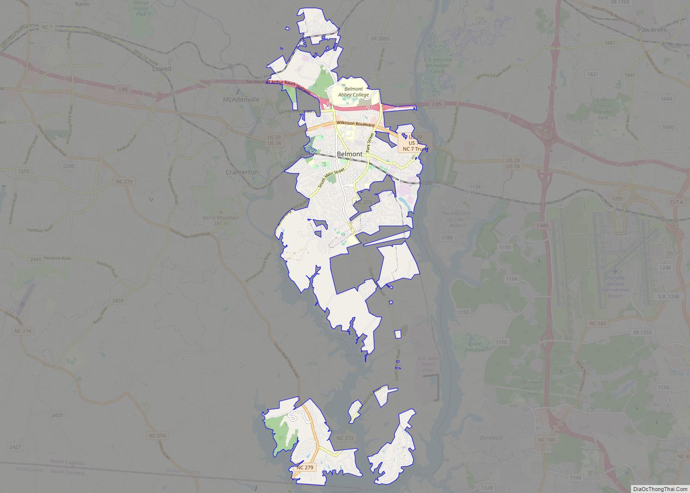
Online Interactive Map
Click on ![]() to view map in "full screen" mode.
to view map in "full screen" mode.
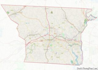
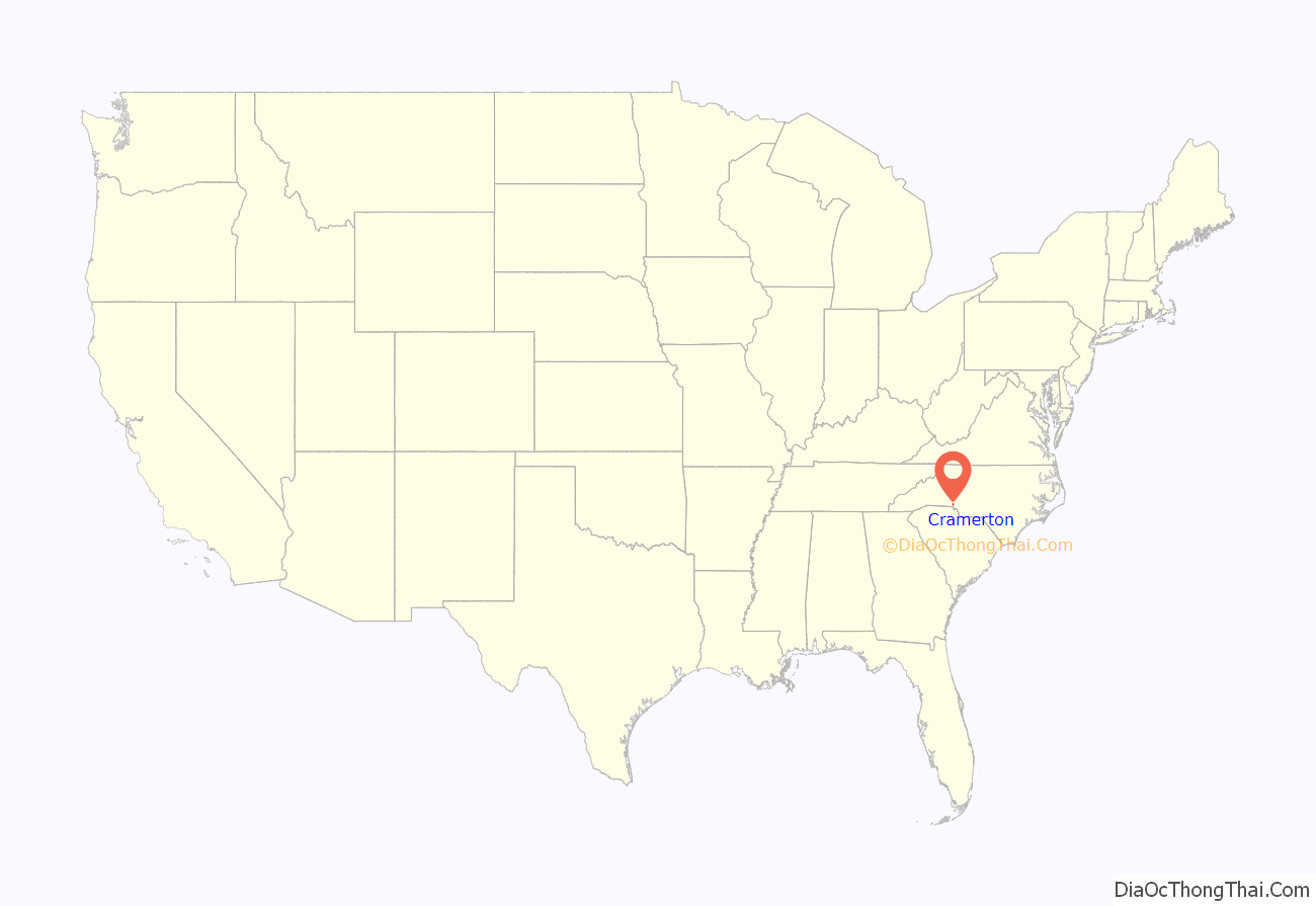
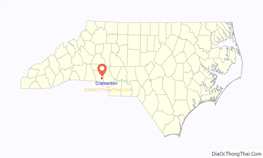
Cramerton location map. Where is Cramerton town?
History
Originally named Mayworth, the town was founded in 1906 when J.H. Mayes built a spinning mill along the banks of the South Fork of the Catawba River, just east of Gastonia. In 1910, textile engineer and Thomasville native Stuart Warren Cramer became owner and president of the mill and property. He turned the mill and the surrounding community into a model mill village. In 1922 Cramer changed the name of the mill to Cramerton Mills, and the name of the town to Cramerton. In 1923, Cramer built the Mayflower Weave Mill.
Cramer is credited with designing and equipping “about one-third of the new cotton mills in the South” between 1895 and 1915, and simultaneously acquiring extensive holdings in textile mills. Among Cramer’s numerous industrial engineering patents was one for the “Cramer System of Air Conditioning”, which included the automatic regulation of temperature and humidity. These early innovations in air conditioning resulted more from the need to remove lint from the air (a persistent problem in the textile mills) than to cool the factory atmosphere. The term “air conditioning” is attributed to Cramer.
In 1946 the mills and homes were sold to Burlington Industries, who in turn sold the homes to residents. The Town of Cramerton incorporated in 1967 and began providing municipal services.
The Mayworth School was listed on the National Register of Historic Places in 2002.
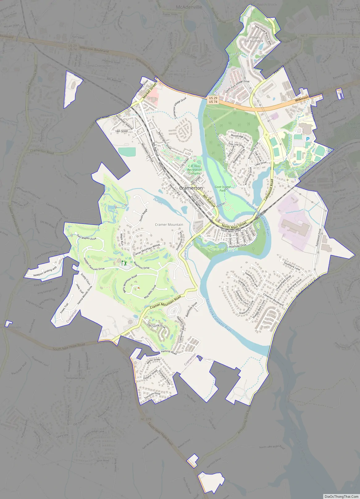
Cramerton Road Map
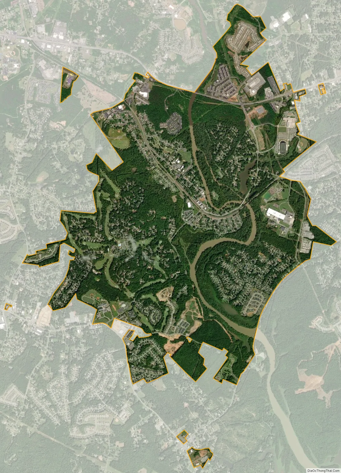
Cramerton city Satellite Map
Geography
Cramerton is located at 35°14′12″N 81°4′26″W / 35.23667°N 81.07389°W / 35.23667; -81.07389 (35.236723, -81.073939) at an elevation of 620 feet (189 m). Two topographic high points, Berry Mountain, elevation 922 feet (281 m), and Cramer Mountain, approximate elevation 850 feet (259 m), are located in the southwestern part of town.
According to the United States Census Bureau, the town has a total area of 4.0 square miles (10.3 km), of which 3.7 square miles (9.5 km) is land and 0.31 square miles (0.8 km), or 7.51%, is water.
Cramerton is bisected by the South Fork Catawba River, which makes a sharp S-curve around the center of town. Just southwest of downtown, Duharts Creek flows into the South Fork Catawba. Duharts Creek is formed by the confluence of Armstrong Branch and New Hope Branch on the western edge of town.
Cramerton town limits include a portion of zip code 28012 that encompass the neighborhood of Lakewood and Stuart W. Cramer High School on the eastern shore of the South Fork River.
The town is located seven miles east of Gastonia and 16 miles west of Charlotte.
See also
Map of North Carolina State and its subdivision:- Alamance
- Alexander
- Alleghany
- Anson
- Ashe
- Avery
- Beaufort
- Bertie
- Bladen
- Brunswick
- Buncombe
- Burke
- Cabarrus
- Caldwell
- Camden
- Carteret
- Caswell
- Catawba
- Chatham
- Cherokee
- Chowan
- Clay
- Cleveland
- Columbus
- Craven
- Cumberland
- Currituck
- Dare
- Davidson
- Davie
- Duplin
- Durham
- Edgecombe
- Forsyth
- Franklin
- Gaston
- Gates
- Graham
- Granville
- Greene
- Guilford
- Halifax
- Harnett
- Haywood
- Henderson
- Hertford
- Hoke
- Hyde
- Iredell
- Jackson
- Johnston
- Jones
- Lee
- Lenoir
- Lincoln
- Macon
- Madison
- Martin
- McDowell
- Mecklenburg
- Mitchell
- Montgomery
- Moore
- Nash
- New Hanover
- Northampton
- Onslow
- Orange
- Pamlico
- Pasquotank
- Pender
- Perquimans
- Person
- Pitt
- Polk
- Randolph
- Richmond
- Robeson
- Rockingham
- Rowan
- Rutherford
- Sampson
- Scotland
- Stanly
- Stokes
- Surry
- Swain
- Transylvania
- Tyrrell
- Union
- Vance
- Wake
- Warren
- Washington
- Watauga
- Wayne
- Wilkes
- Wilson
- Yadkin
- Yancey
- Alabama
- Alaska
- Arizona
- Arkansas
- California
- Colorado
- Connecticut
- Delaware
- District of Columbia
- Florida
- Georgia
- Hawaii
- Idaho
- Illinois
- Indiana
- Iowa
- Kansas
- Kentucky
- Louisiana
- Maine
- Maryland
- Massachusetts
- Michigan
- Minnesota
- Mississippi
- Missouri
- Montana
- Nebraska
- Nevada
- New Hampshire
- New Jersey
- New Mexico
- New York
- North Carolina
- North Dakota
- Ohio
- Oklahoma
- Oregon
- Pennsylvania
- Rhode Island
- South Carolina
- South Dakota
- Tennessee
- Texas
- Utah
- Vermont
- Virginia
- Washington
- West Virginia
- Wisconsin
- Wyoming