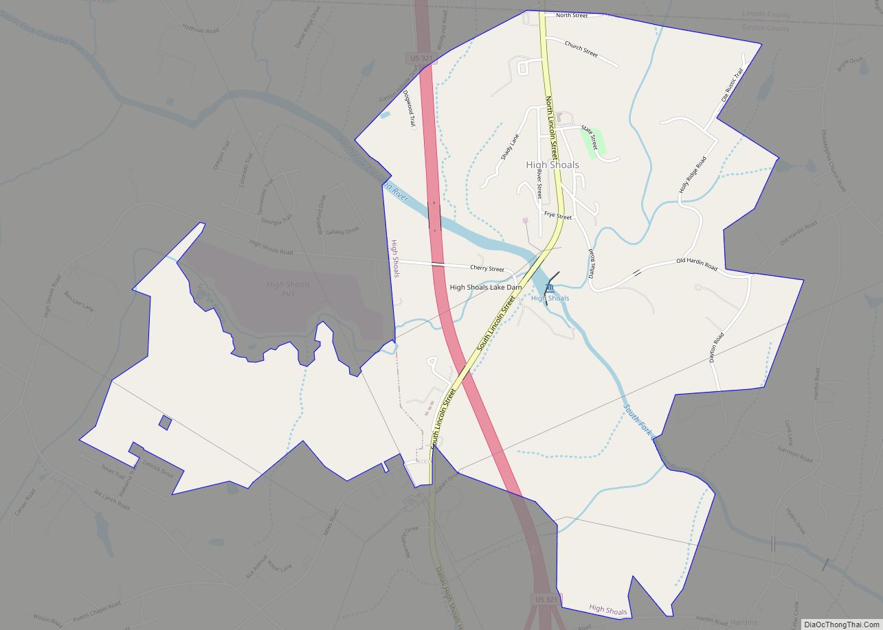
High Shoals is a city in Gaston County, North Carolina, United States, named for the high rocky shoal across the Catawba River. The population was 696 at the 2010 census.
| Name: | High Shoals city |
|---|---|
| LSAD Code: | 25 |
| LSAD Description: | city (suffix) |
| State: | North Carolina |
| County: | Gaston County |
| Incorporated: | November 6, 1973 |
| Elevation: | 761 ft (232 m) |
| Total Area: | 2.66 sq mi (6.88 km²) |
| Land Area: | 2.60 sq mi (6.74 km²) |
| Water Area: | 0.06 sq mi (0.14 km²) |
| Total Population: | 595 |
| Population Density: | 228.67/sq mi (88.28/km²) |
| ZIP code: | 28077 |
| Area code: | 704 |
| FIPS code: | 3731440 |
| GNISfeature ID: | 0986765 |
Online Interactive Map
Click on ![]() to view map in "full screen" mode.
to view map in "full screen" mode.
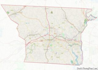
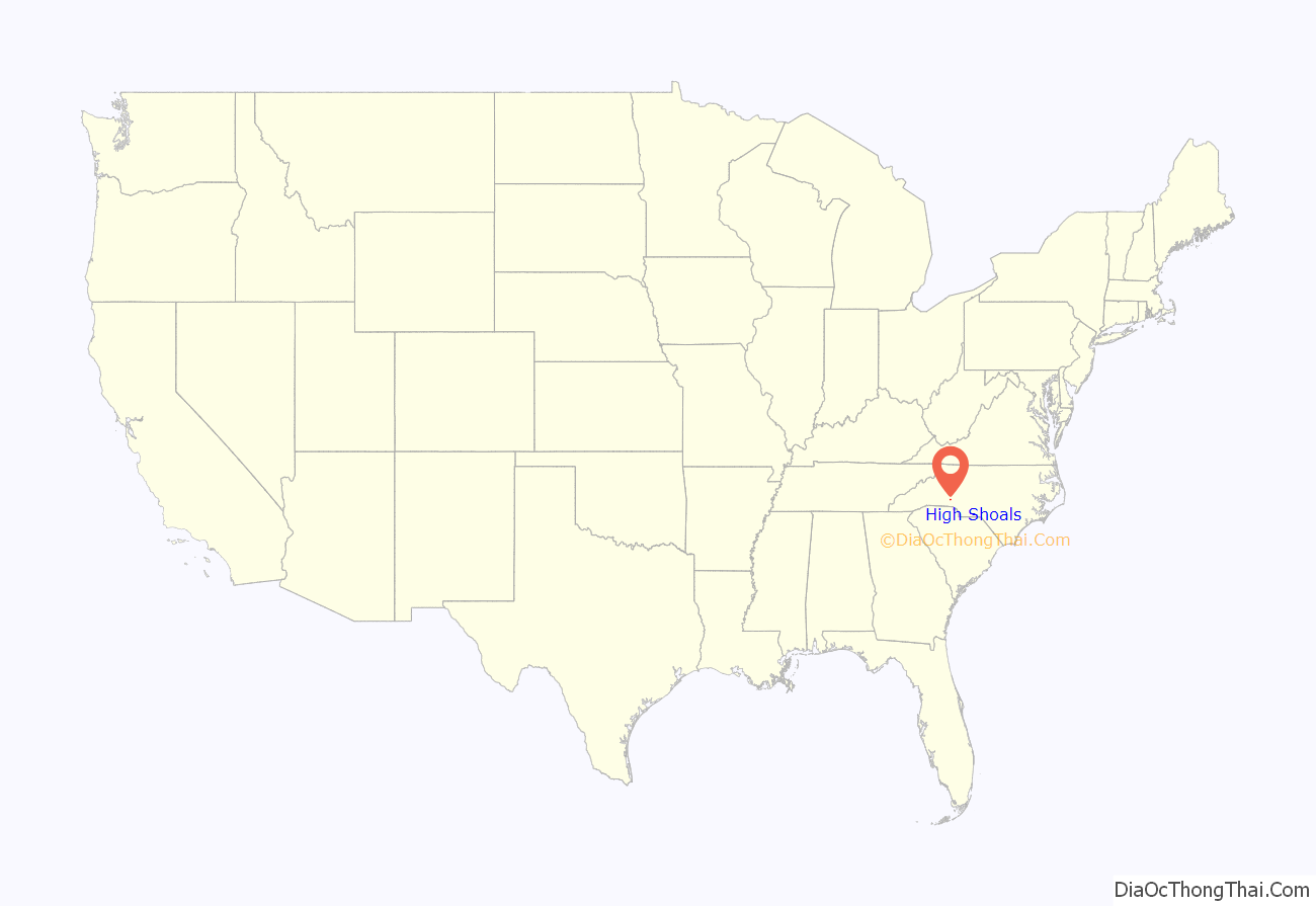
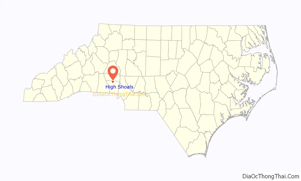
High Shoals location map. Where is High Shoals city?
History
High Shoals was the location of the High Shoals Iron Works, founded by Swiss-born John Fulenwider in about 1795. Fulenwider developed one of the earliest methods of making pig iron with the charcoal process. During the War of 1812, his High Shoals ironworks produced cannonballs for use by the United States Army. Fulenwider died in 1826 and is buried at High Shoals cemetery. The ironworks he developed remained in operation until 1875.
In the last decade of the 19th century, the community of High Shoals became totally owned by High Shoals Mills, a textile company founded by Charlotte industrialist Daniel A. Tompkins.
Eventually, the mill homes were sold to private owners. High Shoals was incorporated on November 6, 1973, the most-recently incorporated municipality in Gaston County.
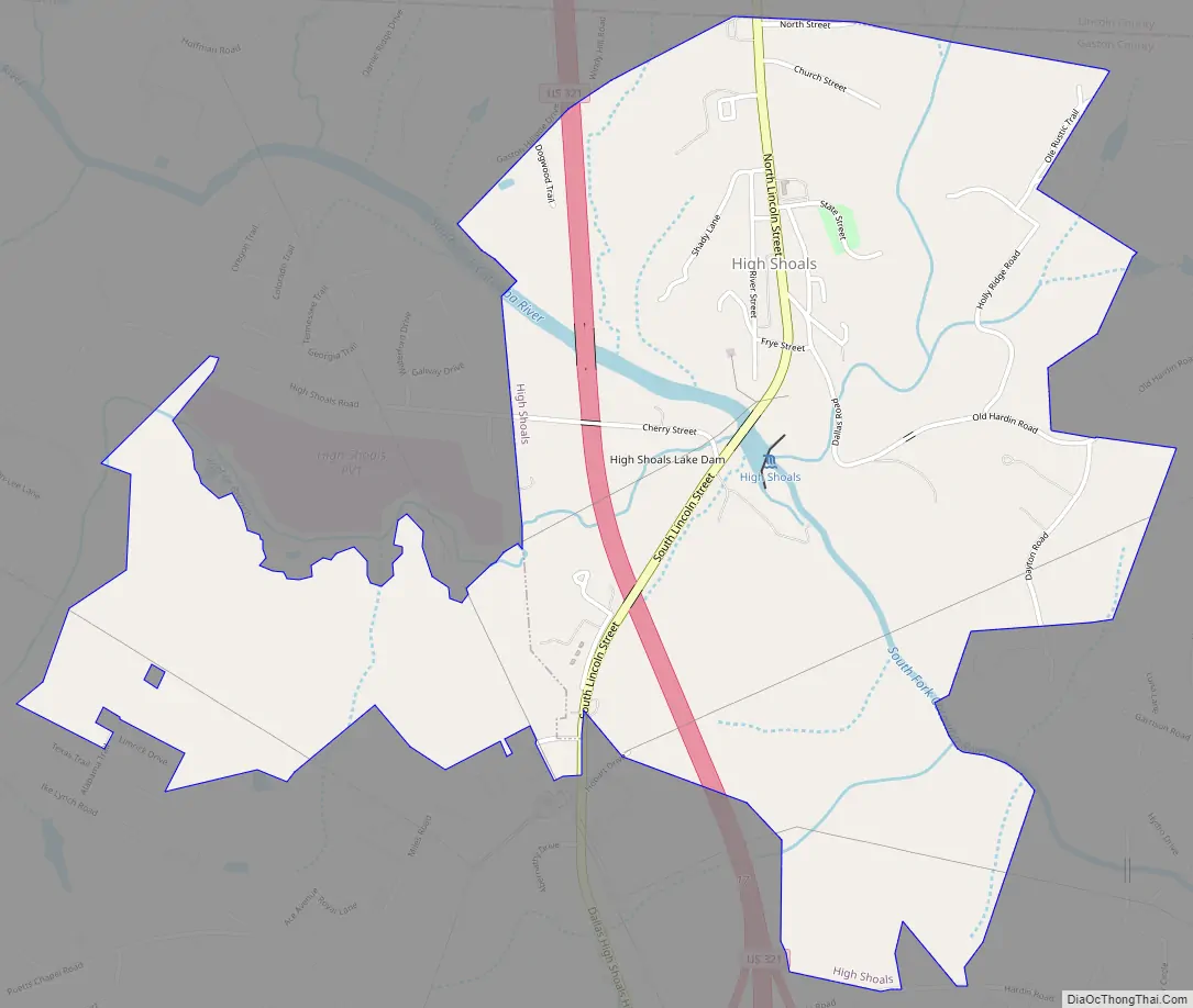
High Shoals Road Map
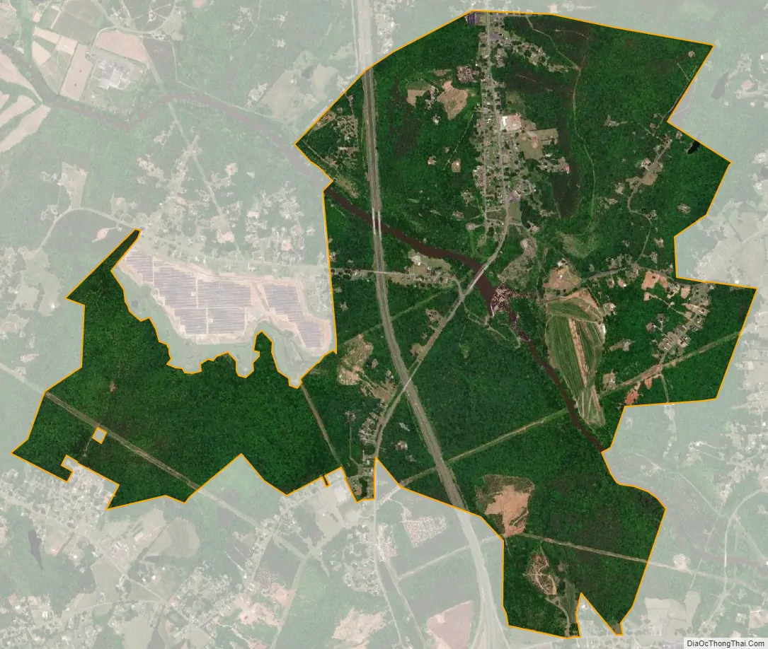
High Shoals city Satellite Map
Geography
High Shoals is located at 35°23′49″N 81°12′16″W / 35.39694°N 81.20444°W / 35.39694; -81.20444 (35.397043, -81.204313). According to the United States Census Bureau, the town has a total area of 2.7 square miles (6.9 km), of which 2.6 square miles (6.7 km) is land and 0.04 square miles (0.1 km), or 2.10%, is water.
The South Fork Catawba River flows through High Shoals. Areas northeast of the river are assigned to the Hoyle Creek watershed, while those southwest of the river are in the Beaverdam Creek watershed. Sulfur Branch flows through western High Shoals (including Briarcreek Golf Course) and enters the South Fork at the south end of town.
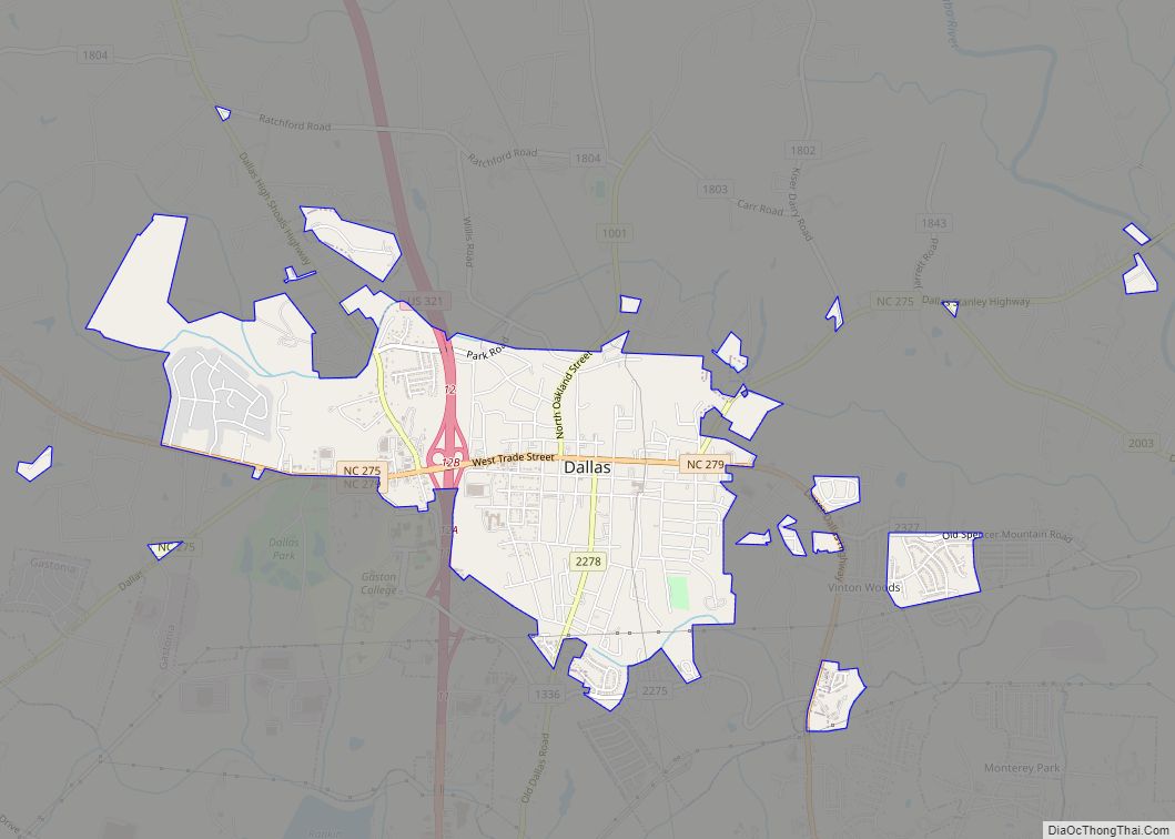
Most of High Shoals is located in Dallas Township, except for a western portion of the town which is in Cherryville Township.
See also
Map of North Carolina State and its subdivision:- Alamance
- Alexander
- Alleghany
- Anson
- Ashe
- Avery
- Beaufort
- Bertie
- Bladen
- Brunswick
- Buncombe
- Burke
- Cabarrus
- Caldwell
- Camden
- Carteret
- Caswell
- Catawba
- Chatham
- Cherokee
- Chowan
- Clay
- Cleveland
- Columbus
- Craven
- Cumberland
- Currituck
- Dare
- Davidson
- Davie
- Duplin
- Durham
- Edgecombe
- Forsyth
- Franklin
- Gaston
- Gates
- Graham
- Granville
- Greene
- Guilford
- Halifax
- Harnett
- Haywood
- Henderson
- Hertford
- Hoke
- Hyde
- Iredell
- Jackson
- Johnston
- Jones
- Lee
- Lenoir
- Lincoln
- Macon
- Madison
- Martin
- McDowell
- Mecklenburg
- Mitchell
- Montgomery
- Moore
- Nash
- New Hanover
- Northampton
- Onslow
- Orange
- Pamlico
- Pasquotank
- Pender
- Perquimans
- Person
- Pitt
- Polk
- Randolph
- Richmond
- Robeson
- Rockingham
- Rowan
- Rutherford
- Sampson
- Scotland
- Stanly
- Stokes
- Surry
- Swain
- Transylvania
- Tyrrell
- Union
- Vance
- Wake
- Warren
- Washington
- Watauga
- Wayne
- Wilkes
- Wilson
- Yadkin
- Yancey
- Alabama
- Alaska
- Arizona
- Arkansas
- California
- Colorado
- Connecticut
- Delaware
- District of Columbia
- Florida
- Georgia
- Hawaii
- Idaho
- Illinois
- Indiana
- Iowa
- Kansas
- Kentucky
- Louisiana
- Maine
- Maryland
- Massachusetts
- Michigan
- Minnesota
- Mississippi
- Missouri
- Montana
- Nebraska
- Nevada
- New Hampshire
- New Jersey
- New Mexico
- New York
- North Carolina
- North Dakota
- Ohio
- Oklahoma
- Oregon
- Pennsylvania
- Rhode Island
- South Carolina
- South Dakota
- Tennessee
- Texas
- Utah
- Vermont
- Virginia
- Washington
- West Virginia
- Wisconsin
- Wyoming