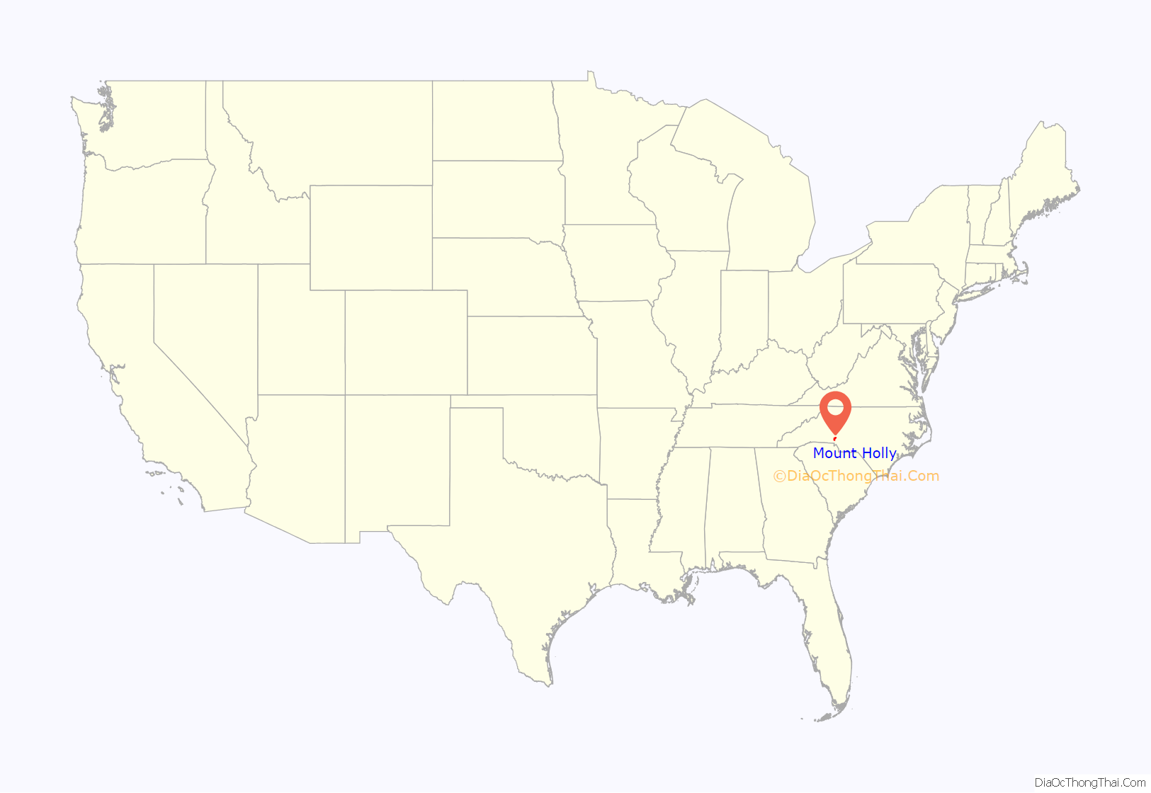
Mount Holly is a small suburban city in northeastern Gaston County, North Carolina, United States. The city is situated just west of the Catawba River, north of Interstate 85, south of North Carolina State Highway 16, and west of Charlotte. The population was 17,703 at the 2020 census, up from 13,656 in 2010.
| Name: | Mount Holly city |
|---|---|
| LSAD Code: | 25 |
| LSAD Description: | city (suffix) |
| State: | North Carolina |
| County: | Gaston County |
| Incorporated: | March 11, 1879 |
| Elevation: | 640 ft (195 m) |
| Total Area: | 11.30 sq mi (29.26 km²) |
| Land Area: | 11.21 sq mi (29.05 km²) |
| Water Area: | 0.08 sq mi (0.21 km²) |
| Total Population: | 17,703 |
| Population Density: | 1,578.51/sq mi (609.46/km²) |
| ZIP code: | 28120 28012 |
| FIPS code: | 3744960 |
| GNISfeature ID: | 0990413 |
| Website: | www.mtholly.us |
Online Interactive Map
Click on ![]() to view map in "full screen" mode.
to view map in "full screen" mode.
Mount Holly location map. Where is Mount Holly city?

History
Land grants were first issued in the Mount Holly area by King George II of Great Britain around 1750. In 1754, a land grant was issued to James Kuykendall of Holland in the locale known as Dutchman’s Creek. Later in 1838, a post office in the area was named Woodlawn. In 1875, the name of the town was changed to Mount Holly, after the Mount Holly Cotton Mill that was started that year. The name “Mount Holly” was used in recognition of the famed yarn made at a spinning mill in Mount Holly, New Jersey.
A.P. and D.E. Rhyne and Ambrose Costner originally owned the Mount Holly Cotton Mill. It was the fourth mill to be built in Gaston County and is the oldest surviving mill today. The mill’s success and the prosperity of the area as a whole led local residents to petition the North Carolina General Assembly for incorporation of Mount Holly in 1879.
The first railroad in Gaston County, the Carolina Central Railway, began serving Mount Holly in 1860. The line, which runs parallel with North Carolina State Highway 27, is still in service and operated by CSX. In 1911, construction began on the area’s second railroad, the Piedmont and Northern Railway. On May 20, 1912, it made its first run from Charlotte to Gastonia.
Electricity became available to homes and businesses around the turn of the twentieth century. The Woodlawn Mill, located on Woodlawn Avenue, was built in 1906 and was the first mill in Gaston County to be served with electricity.
The Downtown Mount Holly Historic District and Mount Holly Cotton Mill are listed on the National Register of Historic Places.
Mount Holly Road Map

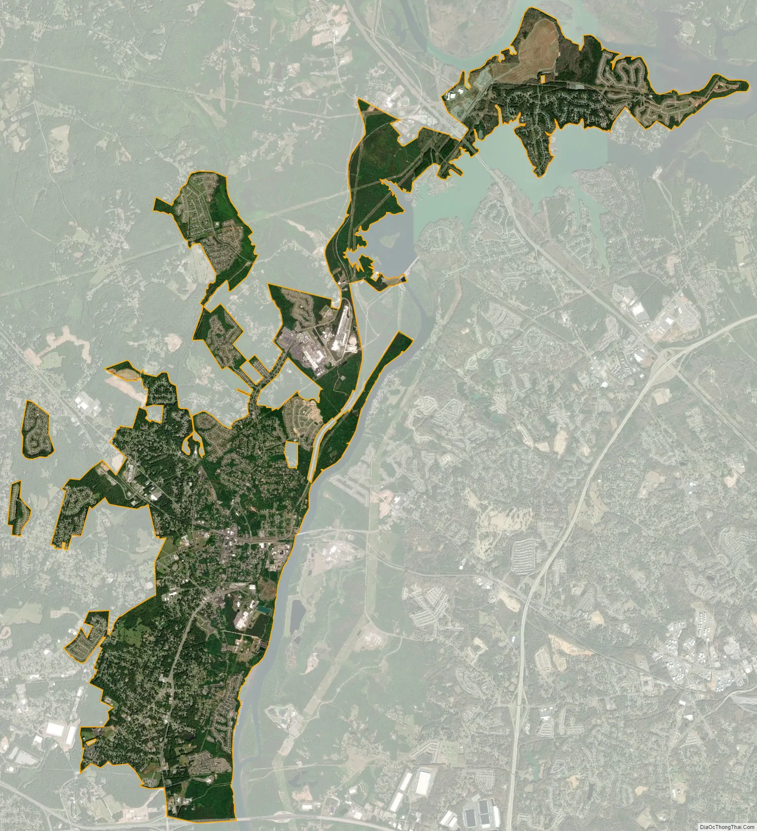
Mount Holly city Satellite Map
Geography
Mount Holly is located at 35°17′43″N 81°1′10″W / 35.29528°N 81.01944°W / 35.29528; -81.01944 (35.295178, -81.019319).
According to the United States Census Bureau, the city has a total area of 10.0 square miles (25.9 km), of which 9.8 square miles (25.4 km) is land and 0.19 square miles (0.5 km), or 1.98%, is water.
Mount Holly is located 12 miles (19 km) northeast of Gastonia and 13 miles (21 km) northwest of Charlotte.
See also
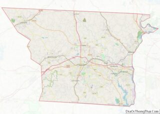
Map of North Carolina State and its subdivision:- Alamance
- Alexander
- Alleghany
- Anson
- Ashe
- Avery
- Beaufort
- Bertie
- Bladen
- Brunswick
- Buncombe
- Burke
- Cabarrus
- Caldwell
- Camden
- Carteret
- Caswell
- Catawba
- Chatham
- Cherokee
- Chowan
- Clay
- Cleveland
- Columbus
- Craven
- Cumberland
- Currituck
- Dare
- Davidson
- Davie
- Duplin
- Durham
- Edgecombe
- Forsyth
- Franklin
- Gaston
- Gates
- Graham
- Granville
- Greene
- Guilford
- Halifax
- Harnett
- Haywood
- Henderson
- Hertford
- Hoke
- Hyde
- Iredell
- Jackson
- Johnston
- Jones
- Lee
- Lenoir
- Lincoln
- Macon
- Madison
- Martin
- McDowell
- Mecklenburg
- Mitchell
- Montgomery
- Moore
- Nash
- New Hanover
- Northampton
- Onslow
- Orange
- Pamlico
- Pasquotank
- Pender
- Perquimans
- Person
- Pitt
- Polk
- Randolph
- Richmond
- Robeson
- Rockingham
- Rowan
- Rutherford
- Sampson
- Scotland
- Stanly
- Stokes
- Surry
- Swain
- Transylvania
- Tyrrell
- Union
- Vance
- Wake
- Warren
- Washington
- Watauga
- Wayne
- Wilkes
- Wilson
- Yadkin
- Yancey
- Alabama
- Alaska
- Arizona
- Arkansas
- California
- Colorado
- Connecticut
- Delaware
- District of Columbia
- Florida
- Georgia
- Hawaii
- Idaho
- Illinois
- Indiana
- Iowa
- Kansas
- Kentucky
- Louisiana
- Maine
- Maryland
- Massachusetts
- Michigan
- Minnesota
- Mississippi
- Missouri
- Montana
- Nebraska
- Nevada
- New Hampshire
- New Jersey
- New Mexico
- New York
- North Carolina
- North Dakota
- Ohio
- Oklahoma
- Oregon
- Pennsylvania
- Rhode Island
- South Carolina
- South Dakota
- Tennessee
- Texas
- Utah
- Vermont
- Virginia
- Washington
- West Virginia
- Wisconsin
- Wyoming