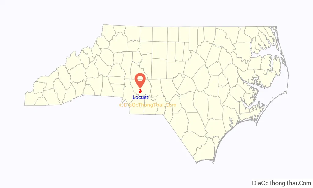
Locust is a small rural city in Stanly and Cabarrus counties in the U.S. state of North Carolina. The population was 2,930 at the 2010 census.
| Name: | Locust city |
|---|---|
| LSAD Code: | 25 |
| LSAD Description: | city (suffix) |
| State: | North Carolina |
| County: | Cabarrus County, Stanly County |
| Elevation: | 719 ft (219 m) |
| Total Area: | 8.19 sq mi (21.21 km²) |
| Land Area: | 8.19 sq mi (21.21 km²) |
| Water Area: | 0.00 sq mi (0.00 km²) |
| Total Population: | 4,537 |
| Population Density: | 553.97/sq mi (213.89/km²) |
| ZIP code: | 28097 |
| Area code: | 704 |
| FIPS code: | 3738860 |
| GNISfeature ID: | 0988837 |
| Website: | www.locustnc.com |
Online Interactive Map
Click on ![]() to view map in "full screen" mode.
to view map in "full screen" mode.
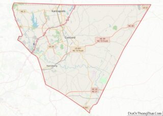
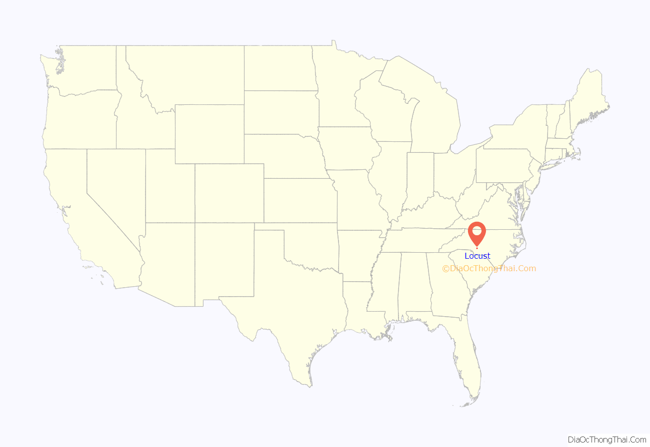
Locust location map. Where is Locust city?
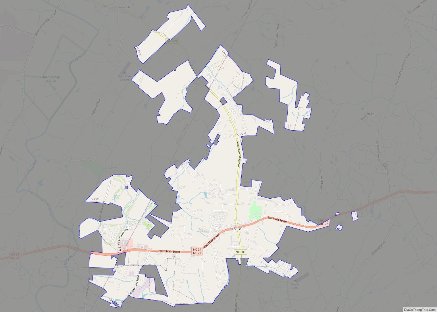
Locust Road Map

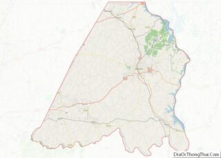
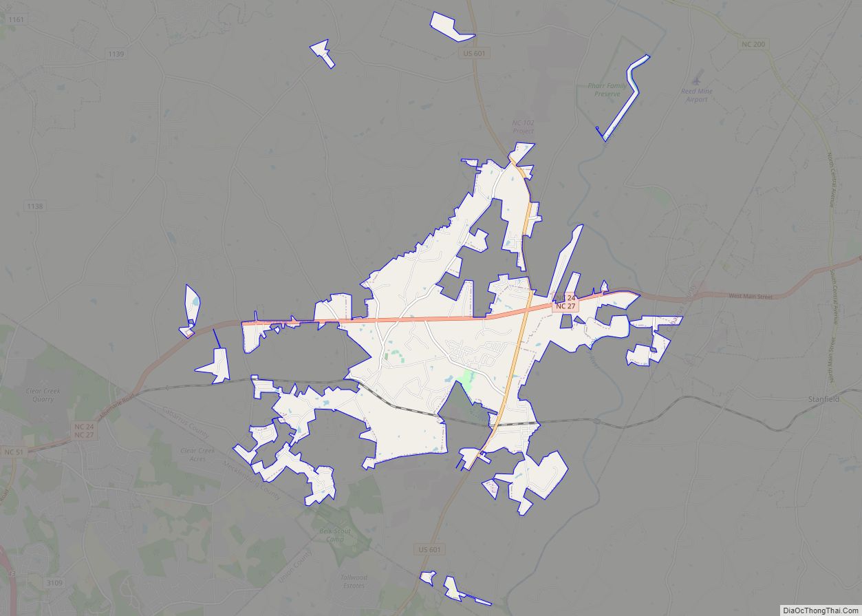
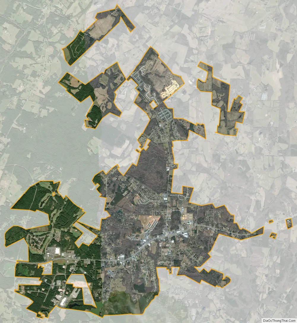
Locust city Satellite Map
Geography
Locust is located in southwestern Stanly County at 35°16′2″N 80°25′36″W / 35.26722°N 80.42667°W / 35.26722; -80.42667 (35.267185, -80.426805). Through annexations, the city limits now extend west into Cabarrus County. Locust is bordered by the town of Stanfield to the south.
The center of Locust is at the intersection of combined North Carolina Highway 24/27 with North Carolina Highway 200. NC 24/27 leads east 15 miles (24 km) to Albemarle and west to the Charlotte area. Via NC 27 it is 25 miles (40 km) to the Charlotte center city. NC 200 leads northwest to US 601 and provides a route to Concord, 15 miles (24 km) away, and leads southwest 22 miles (35 km) to Monroe.
According to the United States Census Bureau, the city of Locust has a total area of 8.1 square miles (21.1 km), with no significant water bodies.
See also
Map of North Carolina State and its subdivision:- Alamance
- Alexander
- Alleghany
- Anson
- Ashe
- Avery
- Beaufort
- Bertie
- Bladen
- Brunswick
- Buncombe
- Burke
- Cabarrus
- Caldwell
- Camden
- Carteret
- Caswell
- Catawba
- Chatham
- Cherokee
- Chowan
- Clay
- Cleveland
- Columbus
- Craven
- Cumberland
- Currituck
- Dare
- Davidson
- Davie
- Duplin
- Durham
- Edgecombe
- Forsyth
- Franklin
- Gaston
- Gates
- Graham
- Granville
- Greene
- Guilford
- Halifax
- Harnett
- Haywood
- Henderson
- Hertford
- Hoke
- Hyde
- Iredell
- Jackson
- Johnston
- Jones
- Lee
- Lenoir
- Lincoln
- Macon
- Madison
- Martin
- McDowell
- Mecklenburg
- Mitchell
- Montgomery
- Moore
- Nash
- New Hanover
- Northampton
- Onslow
- Orange
- Pamlico
- Pasquotank
- Pender
- Perquimans
- Person
- Pitt
- Polk
- Randolph
- Richmond
- Robeson
- Rockingham
- Rowan
- Rutherford
- Sampson
- Scotland
- Stanly
- Stokes
- Surry
- Swain
- Transylvania
- Tyrrell
- Union
- Vance
- Wake
- Warren
- Washington
- Watauga
- Wayne
- Wilkes
- Wilson
- Yadkin
- Yancey
- Alabama
- Alaska
- Arizona
- Arkansas
- California
- Colorado
- Connecticut
- Delaware
- District of Columbia
- Florida
- Georgia
- Hawaii
- Idaho
- Illinois
- Indiana
- Iowa
- Kansas
- Kentucky
- Louisiana
- Maine
- Maryland
- Massachusetts
- Michigan
- Minnesota
- Mississippi
- Missouri
- Montana
- Nebraska
- Nevada
- New Hampshire
- New Jersey
- New Mexico
- New York
- North Carolina
- North Dakota
- Ohio
- Oklahoma
- Oregon
- Pennsylvania
- Rhode Island
- South Carolina
- South Dakota
- Tennessee
- Texas
- Utah
- Vermont
- Virginia
- Washington
- West Virginia
- Wisconsin
- Wyoming