Rhodhiss is a town in Caldwell and Burke counties in the U.S. state of North Carolina. The population was 1,070 at the 2010 census, up from 366 in 2000. It is part of the Hickory–Lenoir–Morganton Metropolitan Statistical Area.
| Name: | Rhodhiss town |
|---|---|
| LSAD Code: | 43 |
| LSAD Description: | town (suffix) |
| State: | North Carolina |
| County: | Burke County, Caldwell County |
| Elevation: | 958 ft (292 m) |
| Total Area: | 1.26 sq mi (3.26 km²) |
| Land Area: | 1.19 sq mi (3.08 km²) |
| Water Area: | 0.07 sq mi (0.19 km²) |
| Total Population: | 997 |
| Population Density: | 839.23/sq mi (324.10/km²) |
| ZIP code: | 28667 |
| Area code: | 828 |
| FIPS code: | 3756240 |
| GNISfeature ID: | 1022237 |
| Website: | townofrhodhissnc.com |
Online Interactive Map
Click on ![]() to view map in "full screen" mode.
to view map in "full screen" mode.
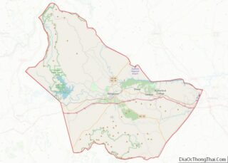
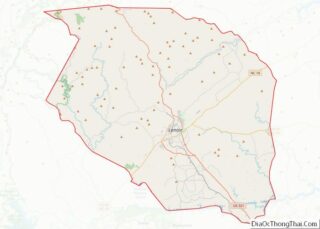
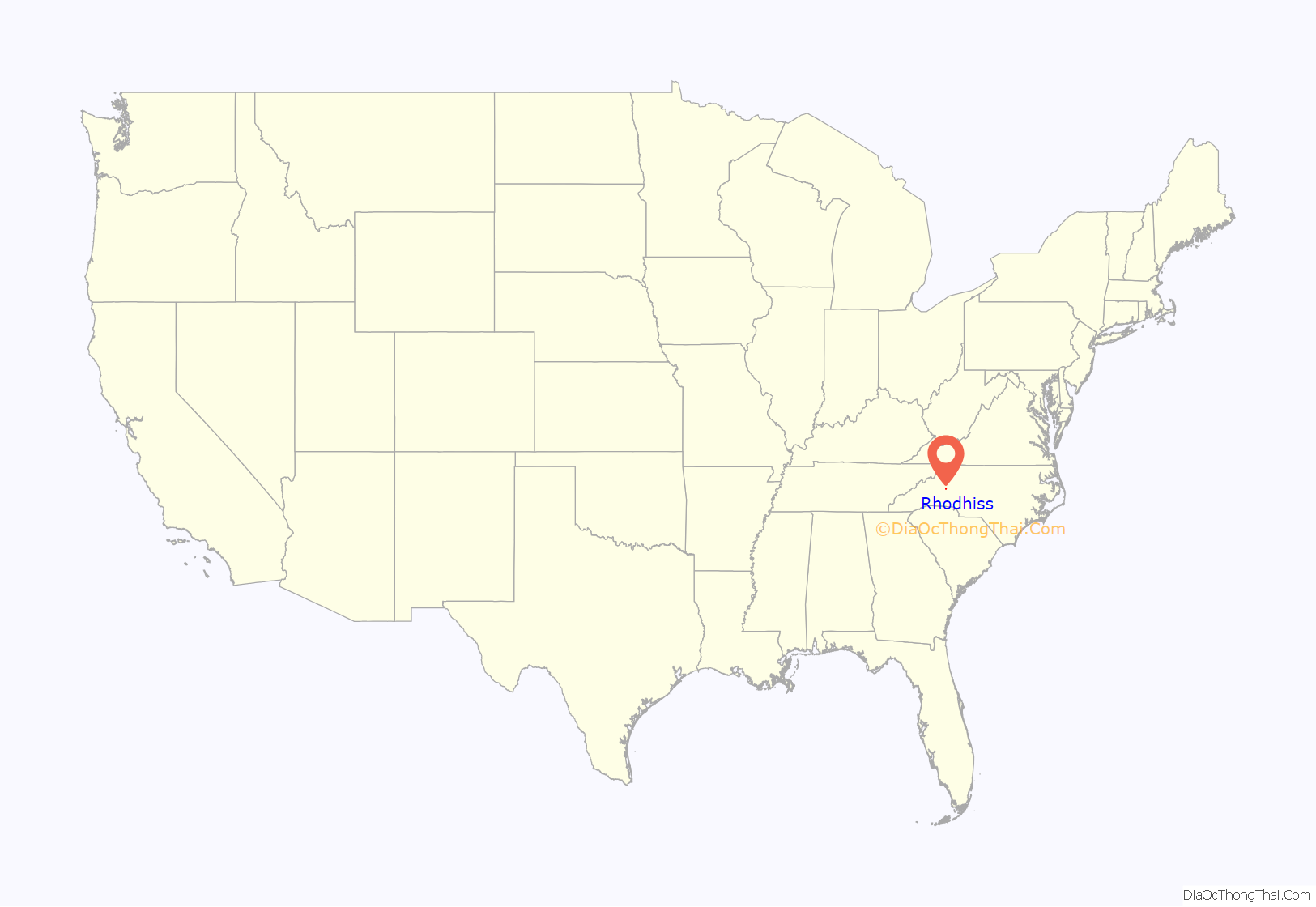
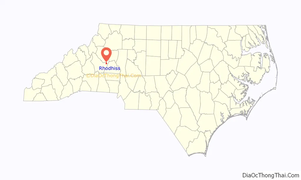
Rhodhiss location map. Where is Rhodhiss town?
History
The name “Rhodhiss” comes from John M. Rhodes and George B. Hiss. They joined to build a cotton mill on the upper Catawba River in Caldwell County. With a $500,000 investment, they helped construct the village of Rhodhiss, which included a horseshoe-shaped dam, electric generator, mill, general store, and worker houses. Rhodhiss Manufacturing Company opened in 1902, with Rhodhiss incorporating as a town in 1903. Within the next decade, the Town of Rhodhiss would expand into Burke County, with a new steel bridge spanning the Catawba River to connect the town together.
The material of the U.S. flag that astronauts Neil Armstrong and Buzz Aldrin erected on the first visit to the Moon in 1969, was woven at Burlington Mills Plant 2 in Rhodhiss. Glen Price, a lifelong Rhodhiss resident, was manager at the time.
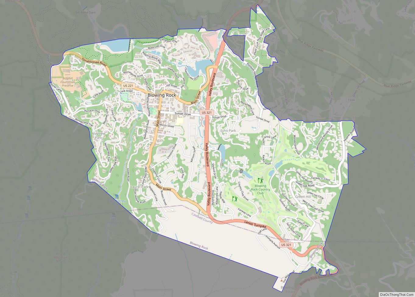
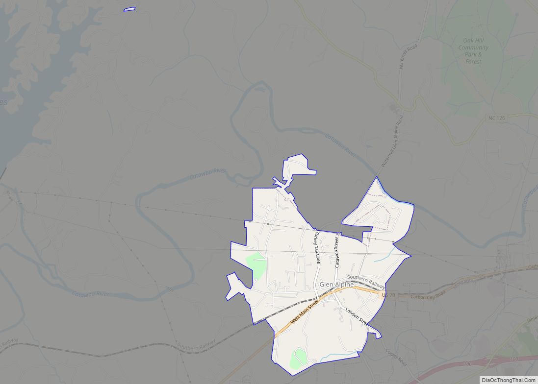
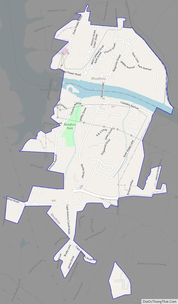
Rhodhiss Road Map
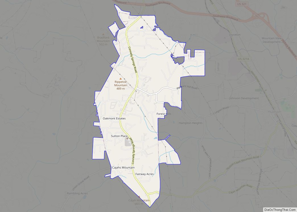
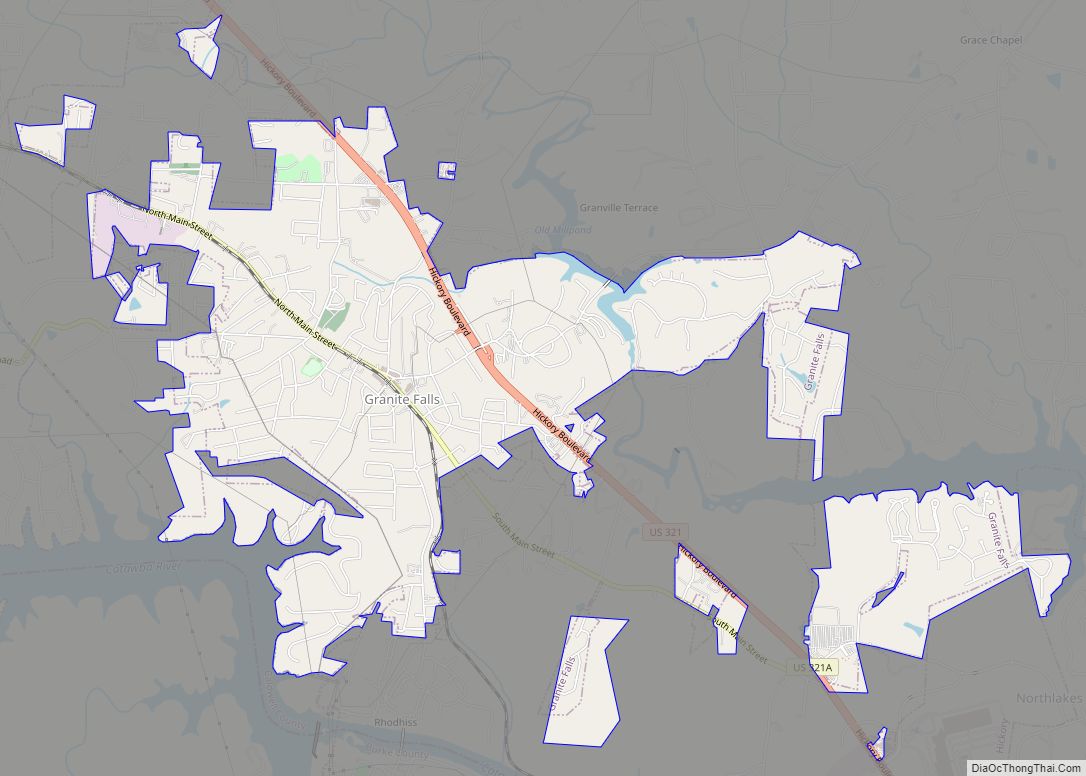
Rhodhiss city Satellite Map
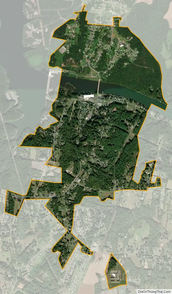
Geography
Rhodhiss is located in eastern Burke County and southern Caldwell County at 35°46′13″N 81°25′58″W / 35.77028°N 81.43278°W / 35.77028; -81.43278 (35.770280, -81.432903). It is bordered to the north by the town of Granite Falls. The Catawba River runs through the center of the town, which is located just east (downstream) of Rhodhiss Dam. One bridge crosses the river in the town, leading north on Caldwell Street to Granite Falls, and leading south on Burke Street towards Icard and Connelly Springs. The small town has only one traffic light, a cautionary flashing yellow light, not a stop light. There is only one police officer, as the town has the lowest crime rate in Caldwell County. In the 1980s, there was a beach, that was located on Strawberry Hill (the first road on the right, just after crossing the bridge into Burke county). There was also a Boys Scout club house at the top of that same road; however, it closed in either the late 1970s or early 1980s. According to the United States Census Bureau, the town has a total area of 1.3 square miles (3.3 km), of which 1.2 square miles (3.1 km) is land and 0.08 square miles (0.2 km), or 5.85%, is water.
See also
Map of North Carolina State and its subdivision:- Alamance
- Alexander
- Alleghany
- Anson
- Ashe
- Avery
- Beaufort
- Bertie
- Bladen
- Brunswick
- Buncombe
- Burke
- Cabarrus
- Caldwell
- Camden
- Carteret
- Caswell
- Catawba
- Chatham
- Cherokee
- Chowan
- Clay
- Cleveland
- Columbus
- Craven
- Cumberland
- Currituck
- Dare
- Davidson
- Davie
- Duplin
- Durham
- Edgecombe
- Forsyth
- Franklin
- Gaston
- Gates
- Graham
- Granville
- Greene
- Guilford
- Halifax
- Harnett
- Haywood
- Henderson
- Hertford
- Hoke
- Hyde
- Iredell
- Jackson
- Johnston
- Jones
- Lee
- Lenoir
- Lincoln
- Macon
- Madison
- Martin
- McDowell
- Mecklenburg
- Mitchell
- Montgomery
- Moore
- Nash
- New Hanover
- Northampton
- Onslow
- Orange
- Pamlico
- Pasquotank
- Pender
- Perquimans
- Person
- Pitt
- Polk
- Randolph
- Richmond
- Robeson
- Rockingham
- Rowan
- Rutherford
- Sampson
- Scotland
- Stanly
- Stokes
- Surry
- Swain
- Transylvania
- Tyrrell
- Union
- Vance
- Wake
- Warren
- Washington
- Watauga
- Wayne
- Wilkes
- Wilson
- Yadkin
- Yancey
- Alabama
- Alaska
- Arizona
- Arkansas
- California
- Colorado
- Connecticut
- Delaware
- District of Columbia
- Florida
- Georgia
- Hawaii
- Idaho
- Illinois
- Indiana
- Iowa
- Kansas
- Kentucky
- Louisiana
- Maine
- Maryland
- Massachusetts
- Michigan
- Minnesota
- Mississippi
- Missouri
- Montana
- Nebraska
- Nevada
- New Hampshire
- New Jersey
- New Mexico
- New York
- North Carolina
- North Dakota
- Ohio
- Oklahoma
- Oregon
- Pennsylvania
- Rhode Island
- South Carolina
- South Dakota
- Tennessee
- Texas
- Utah
- Vermont
- Virginia
- Washington
- West Virginia
- Wisconsin
- Wyoming