Rolesville is a town in northeastern Wake County, North Carolina, United States, a suburb of the capital city of Raleigh. It is the second oldest town in Wake County and has been one of the fastest-growing towns in the state of North Carolina for the past several years. The population was 9,475 at the 2020 census.
Rolesville was incorporated on January 18, 1837, by the North Carolina Legislature. In 2012, the town celebrated its 175th anniversary.
| Name: | Rolesville town |
|---|---|
| LSAD Code: | 43 |
| LSAD Description: | town (suffix) |
| State: | North Carolina |
| County: | Wake County |
| Elevation: | 443 ft (135 m) |
| Total Area: | 6.12 sq mi (15.84 km²) |
| Land Area: | 6.11 sq mi (15.82 km²) |
| Water Area: | 0.01 sq mi (0.02 km²) |
| Total Population: | 9,475 |
| Population Density: | 1,551.24/sq mi (598.97/km²) |
| ZIP code: | 27571 |
| Area code: | 919 984 |
| FIPS code: | 3757640 |
| GNISfeature ID: | 0993655 |
| Website: | http://rolesvillenc.gov/ |
Online Interactive Map
Click on ![]() to view map in "full screen" mode.
to view map in "full screen" mode.
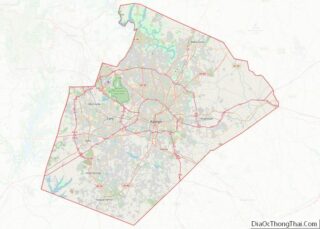
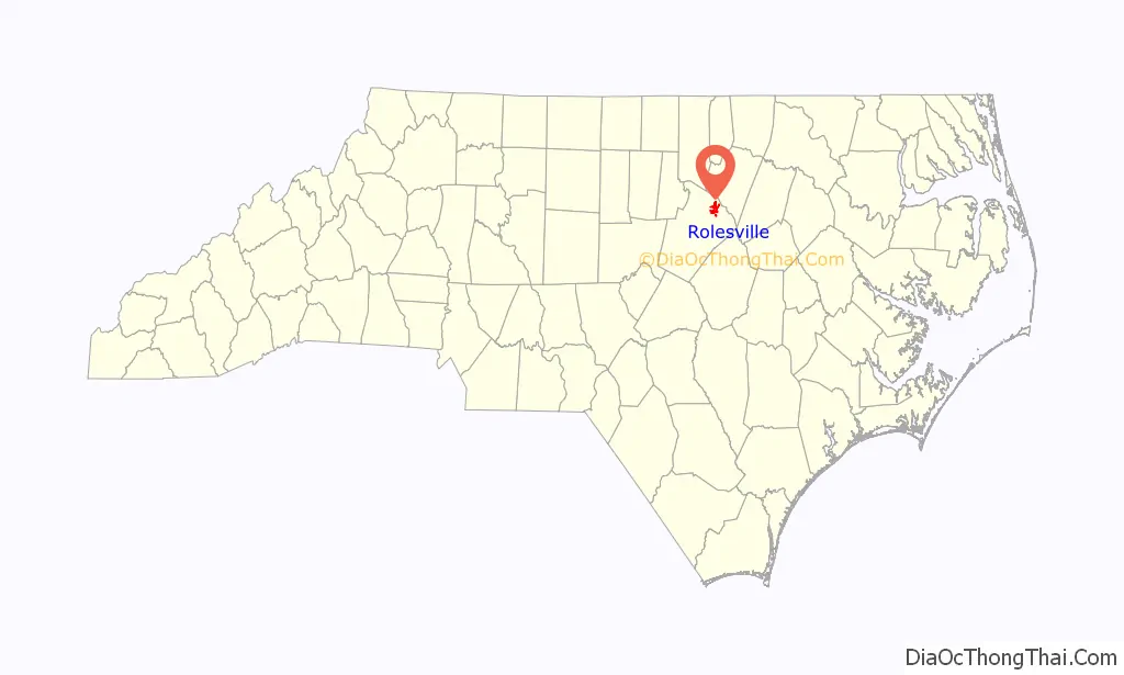
Rolesville location map. Where is Rolesville town?

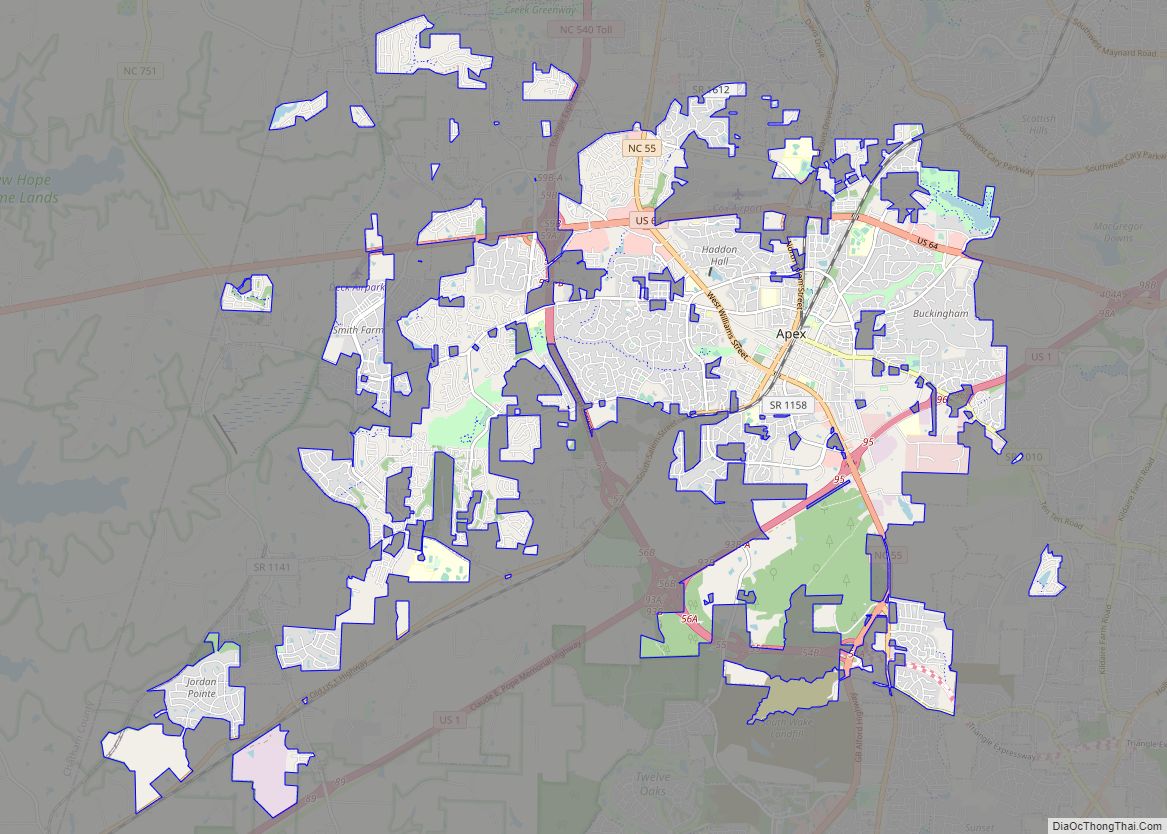
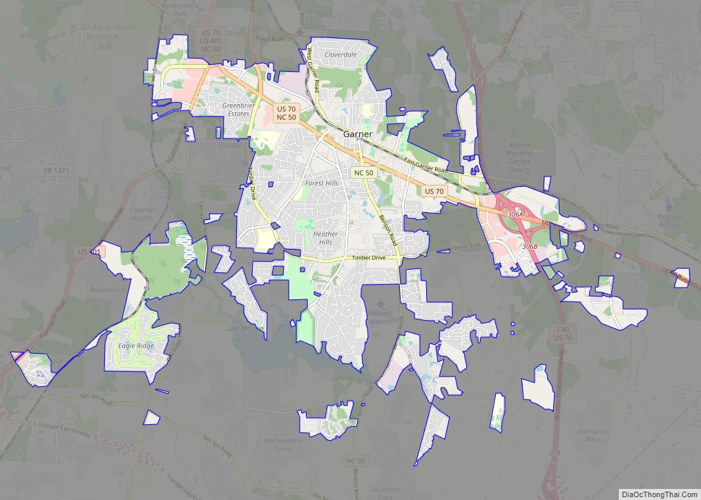
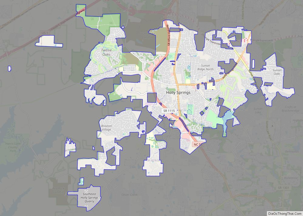
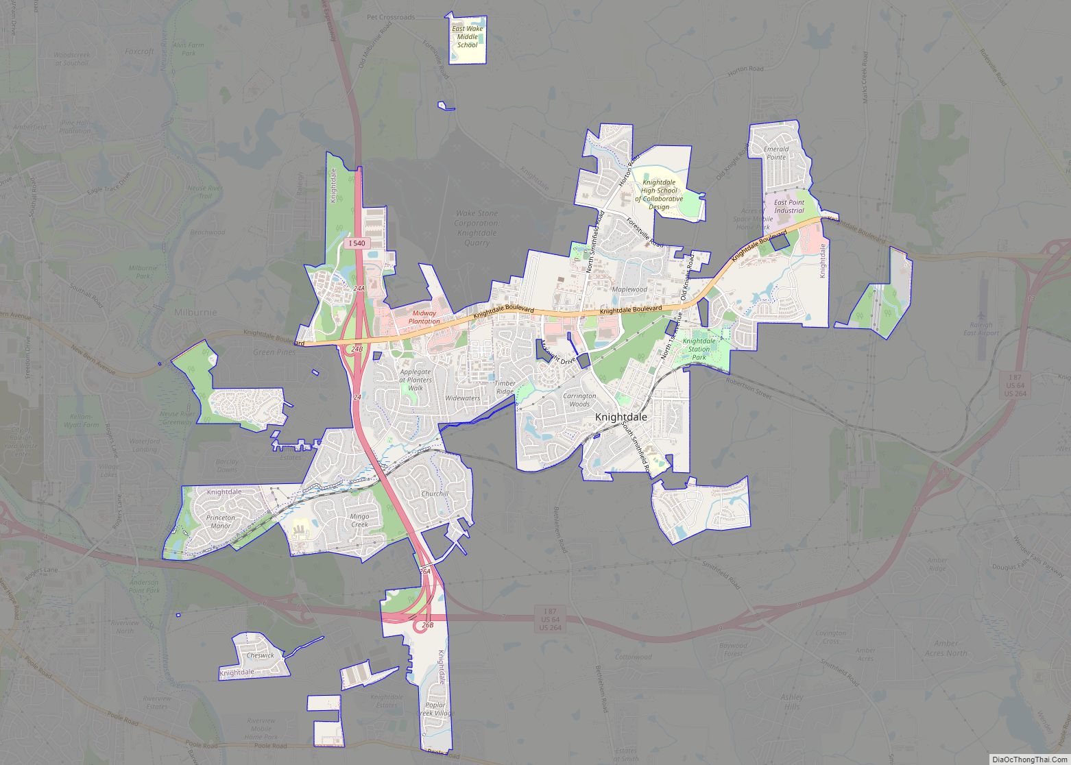
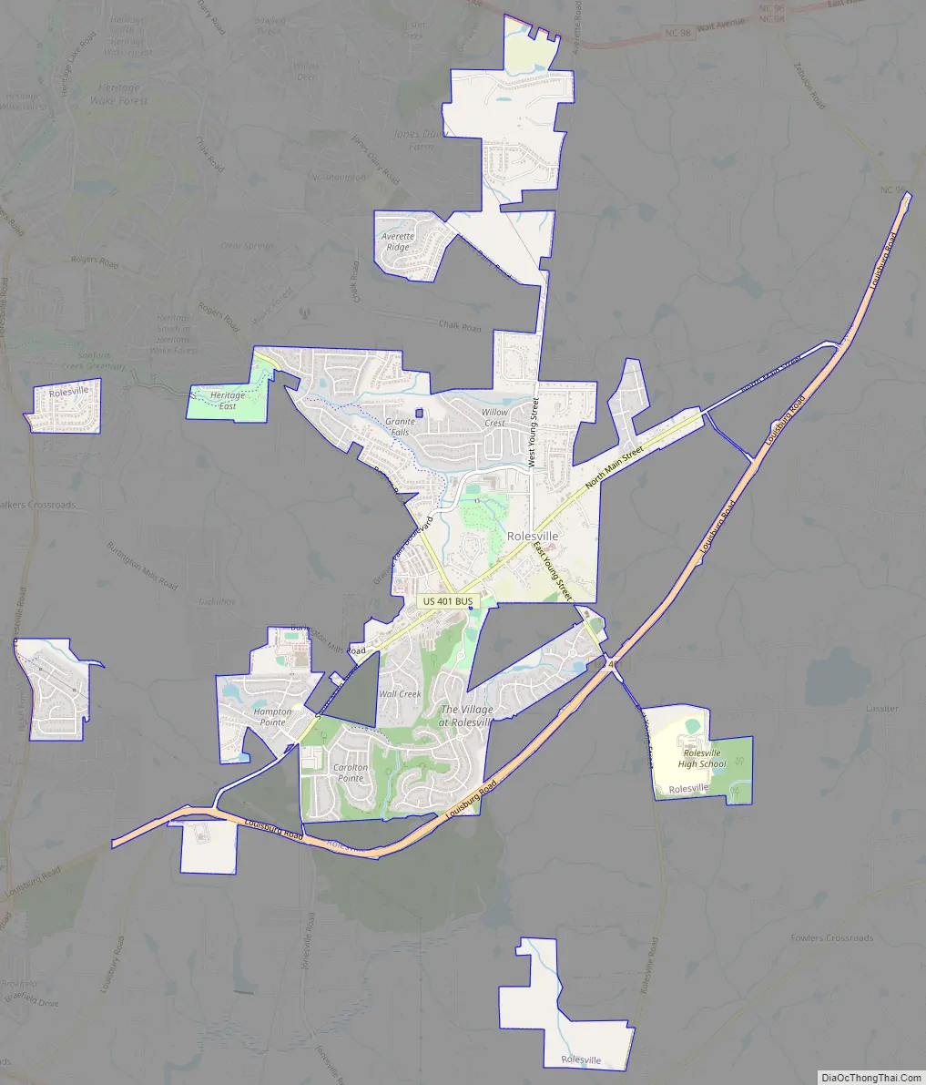
Rolesville Road Map
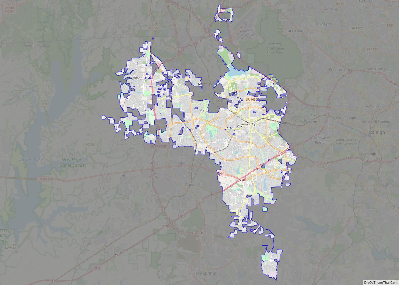
Rolesville city Satellite Map

Geography
Rolesville is located at 35°55′26″N 78°27′40″W / 35.923873°N 78.461029°W / 35.923873; -78.461029.
According to the United States Census Bureau the town has an area of 3.9 square miles (10.2 km), all land.
See also
Map of North Carolina State and its subdivision:- Alamance
- Alexander
- Alleghany
- Anson
- Ashe
- Avery
- Beaufort
- Bertie
- Bladen
- Brunswick
- Buncombe
- Burke
- Cabarrus
- Caldwell
- Camden
- Carteret
- Caswell
- Catawba
- Chatham
- Cherokee
- Chowan
- Clay
- Cleveland
- Columbus
- Craven
- Cumberland
- Currituck
- Dare
- Davidson
- Davie
- Duplin
- Durham
- Edgecombe
- Forsyth
- Franklin
- Gaston
- Gates
- Graham
- Granville
- Greene
- Guilford
- Halifax
- Harnett
- Haywood
- Henderson
- Hertford
- Hoke
- Hyde
- Iredell
- Jackson
- Johnston
- Jones
- Lee
- Lenoir
- Lincoln
- Macon
- Madison
- Martin
- McDowell
- Mecklenburg
- Mitchell
- Montgomery
- Moore
- Nash
- New Hanover
- Northampton
- Onslow
- Orange
- Pamlico
- Pasquotank
- Pender
- Perquimans
- Person
- Pitt
- Polk
- Randolph
- Richmond
- Robeson
- Rockingham
- Rowan
- Rutherford
- Sampson
- Scotland
- Stanly
- Stokes
- Surry
- Swain
- Transylvania
- Tyrrell
- Union
- Vance
- Wake
- Warren
- Washington
- Watauga
- Wayne
- Wilkes
- Wilson
- Yadkin
- Yancey
- Alabama
- Alaska
- Arizona
- Arkansas
- California
- Colorado
- Connecticut
- Delaware
- District of Columbia
- Florida
- Georgia
- Hawaii
- Idaho
- Illinois
- Indiana
- Iowa
- Kansas
- Kentucky
- Louisiana
- Maine
- Maryland
- Massachusetts
- Michigan
- Minnesota
- Mississippi
- Missouri
- Montana
- Nebraska
- Nevada
- New Hampshire
- New Jersey
- New Mexico
- New York
- North Carolina
- North Dakota
- Ohio
- Oklahoma
- Oregon
- Pennsylvania
- Rhode Island
- South Carolina
- South Dakota
- Tennessee
- Texas
- Utah
- Vermont
- Virginia
- Washington
- West Virginia
- Wisconsin
- Wyoming