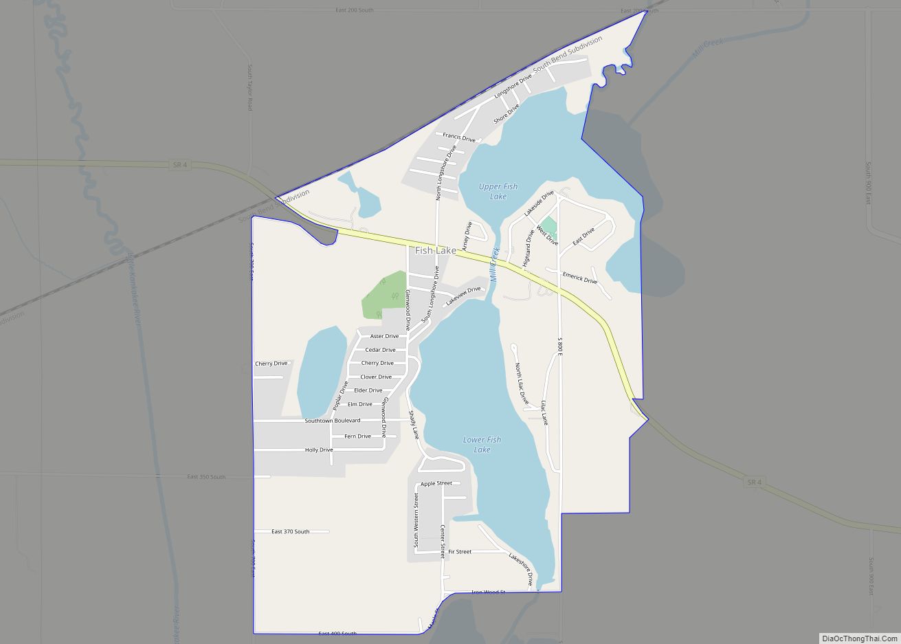
Fish Lake is an unincorporated community and census-designated place in Lincoln Township, LaPorte County, Indiana, United States. It is located where Indiana State Road 4 passes between Upper Fish Lake and Lower Fish Lake. These lakes feed the Kankakee River. As of the 2010 census, the population of the community was 1,016.
| Name: | Fish Lake CDP |
|---|---|
| LSAD Code: | 57 |
| LSAD Description: | CDP (suffix) |
| State: | Indiana |
| County: | LaPorte County |
| Elevation: | 699 ft (213 m) |
| Total Area: | 1.88 sq mi (4.88 km²) |
| Land Area: | 1.54 sq mi (3.99 km²) |
| Water Area: | 0.34 sq mi (0.89 km²) |
| Total Population: | 1,052 |
| Population Density: | 682.67/sq mi (263.60/km²) |
| ZIP code: | 46574 |
| FIPS code: | 1823386 |
| GNISfeature ID: | 434513 |
Online Interactive Map
Click on ![]() to view map in "full screen" mode.
to view map in "full screen" mode.
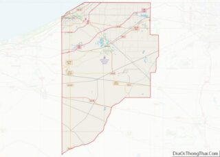
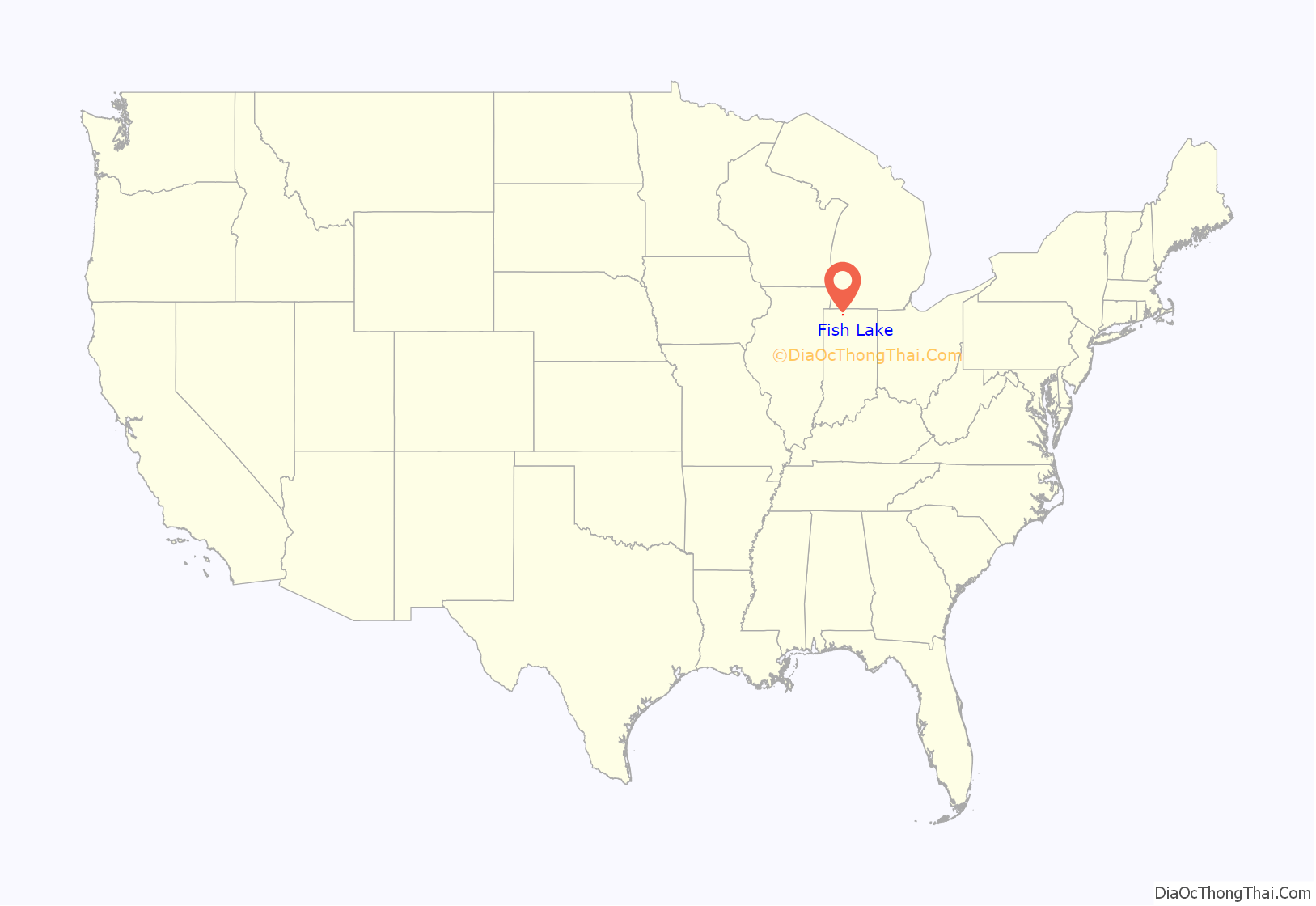
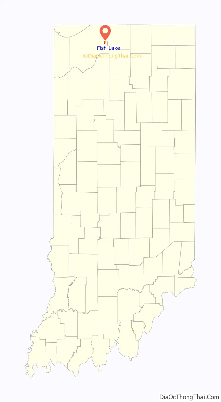
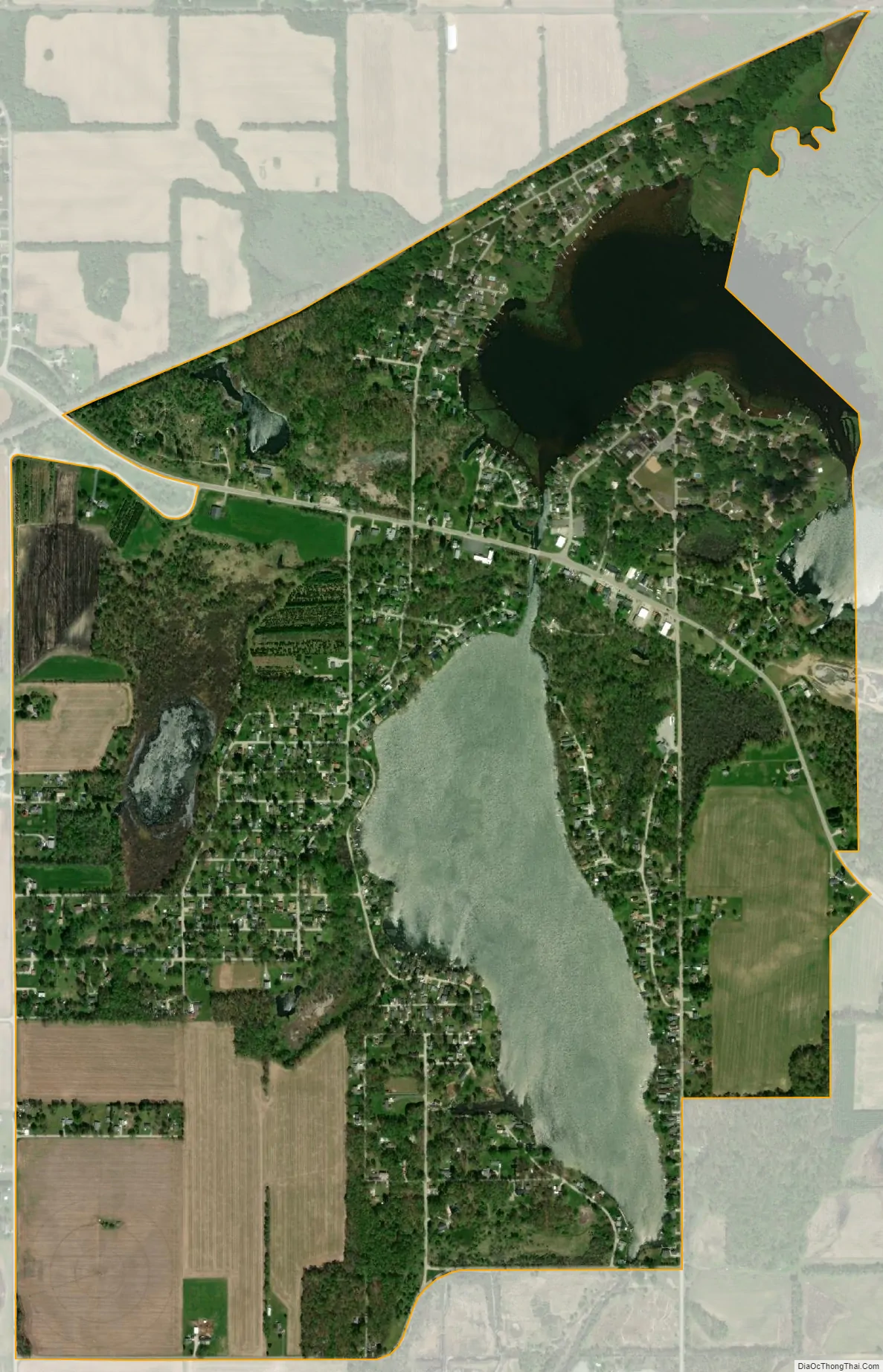
Fish Lake location map. Where is Fish Lake CDP?
History
Before the draining of the Grand Kankakee Marsh, the body of water at Fish Lake was known in French as Lac Tipiconeau. It was then located on the main stream of the Kankakee, just upstream of its confluence with Potato Creek. The lake took its name from the French term for buffalo fish, and this name in turn likely led to the modern English name “Fish Lake”.
In 1702, Pierre Le Moyne d’Iberville noted that following the end of the Beaver Wars a group of Miami people had settled at “Atihipi-Catouy”. According to linguist Michael McCafferty this name “appears to be a gnarled form of Miami-Illinois kiteepihkwanonki, ‘at the buffalo fish'”, referring to Lac Tipiconeau.
In the 1880s, the Swift & Co. ice company of Chicago purchased land around Upper and Lower Fish Lake and carried out ice harvesting in the winter months. By 1899 Swift & Co. was shipping 18 railroad cars full of ice from Fish Lake to Chicago each day. Ice harvesting ceased here in 1930.
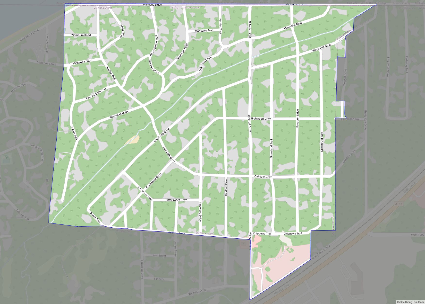
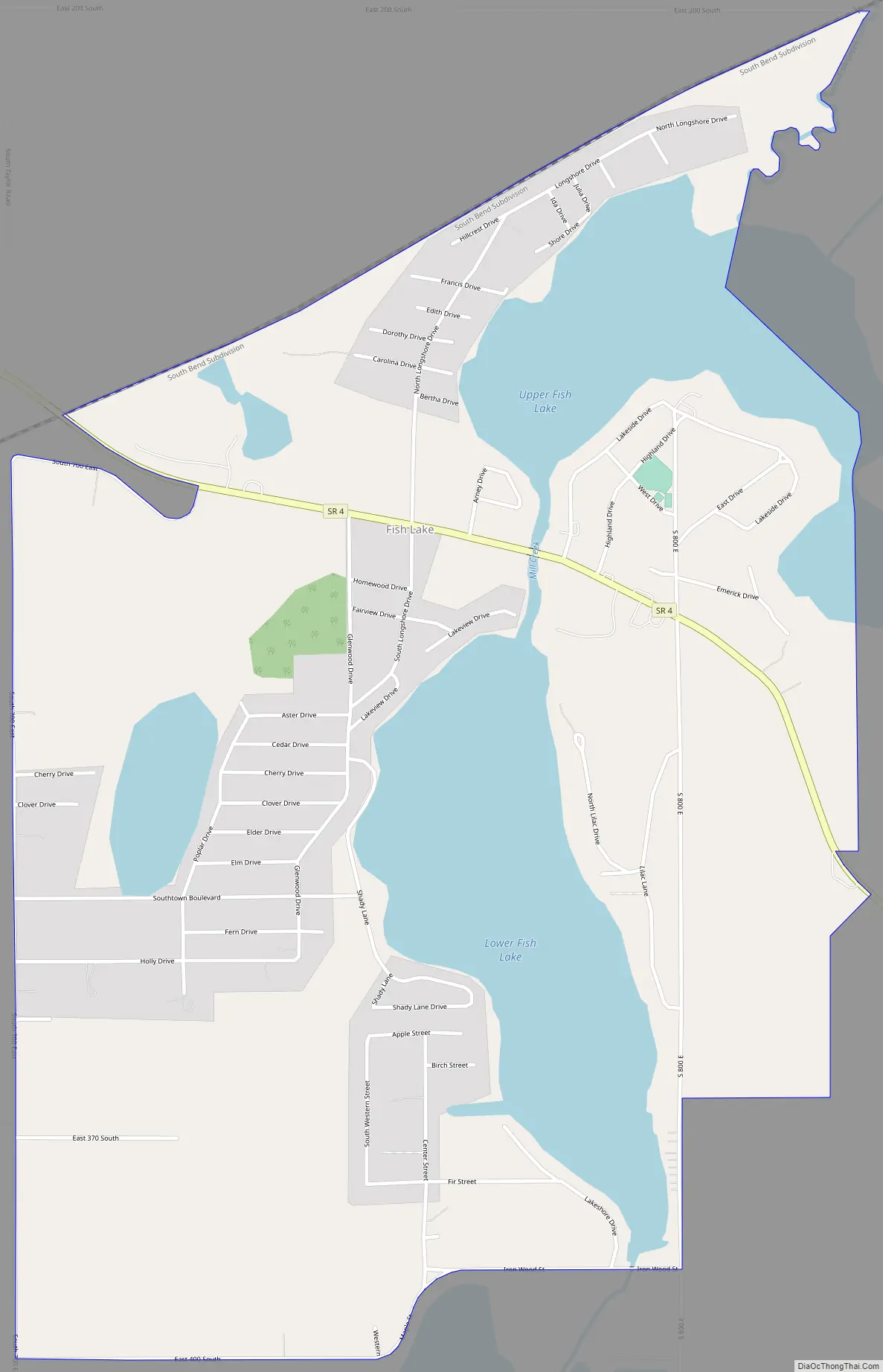
Fish Lake Road Map
Fish Lake city Satellite Map
Geography
Fish Lake is located in eastern LaPorte County at 41°34′00″N 86°33′07″W / 41.56667°N 86.55194°W / 41.56667; -86.55194, in the center of Lincoln Township. The community surrounds Lower Fish Lake and covers the north, west, and south sides of Upper Fish Lake. Mill Creek, the lakes’ outlet, flows south to the Little Kankakee River and then shortly to the Kankakee River, a west-flowing waterway that is a primary tributary of the Illinois River.
Indiana State Road 4 passes through the community, between the two lakes, and leads northwest 10 miles (16 km) to La Porte, the county seat, and southeast 7 miles (11 km) to North Liberty. Fish Lake is 20 miles (32 km) southwest of South Bend.
According to the U.S. Census Bureau, the Fish Lake CDP has a total area of 1.9 square miles (4.9 km), of which 1.5 square miles (4.0 km) are land and 0.3 square miles (0.9 km), or 18.24%, are water.
See also
Map of Indiana State and its subdivision:- Adams
- Allen
- Bartholomew
- Benton
- Blackford
- Boone
- Brown
- Carroll
- Cass
- Clark
- Clay
- Clinton
- Crawford
- Daviess
- De Kalb
- Dearborn
- Decatur
- Delaware
- Dubois
- Elkhart
- Fayette
- Floyd
- Fountain
- Franklin
- Fulton
- Gibson
- Grant
- Greene
- Hamilton
- Hancock
- Harrison
- Hendricks
- Henry
- Howard
- Huntington
- Jackson
- Jasper
- Jay
- Jefferson
- Jennings
- Johnson
- Knox
- Kosciusko
- LaGrange
- Lake
- Lake Michigan
- LaPorte
- Lawrence
- Madison
- Marion
- Marshall
- Martin
- Miami
- Monroe
- Montgomery
- Morgan
- Newton
- Noble
- Ohio
- Orange
- Owen
- Parke
- Perry
- Pike
- Porter
- Posey
- Pulaski
- Putnam
- Randolph
- Ripley
- Rush
- Saint Joseph
- Scott
- Shelby
- Spencer
- Starke
- Steuben
- Sullivan
- Switzerland
- Tippecanoe
- Tipton
- Union
- Vanderburgh
- Vermillion
- Vigo
- Wabash
- Warren
- Warrick
- Washington
- Wayne
- Wells
- White
- Whitley
- Alabama
- Alaska
- Arizona
- Arkansas
- California
- Colorado
- Connecticut
- Delaware
- District of Columbia
- Florida
- Georgia
- Hawaii
- Idaho
- Illinois
- Indiana
- Iowa
- Kansas
- Kentucky
- Louisiana
- Maine
- Maryland
- Massachusetts
- Michigan
- Minnesota
- Mississippi
- Missouri
- Montana
- Nebraska
- Nevada
- New Hampshire
- New Jersey
- New Mexico
- New York
- North Carolina
- North Dakota
- Ohio
- Oklahoma
- Oregon
- Pennsylvania
- Rhode Island
- South Carolina
- South Dakota
- Tennessee
- Texas
- Utah
- Vermont
- Virginia
- Washington
- West Virginia
- Wisconsin
- Wyoming