Hamlet is a town in Davis and Oregon Townships, Starke County, in the U.S. state of Indiana. The population was 800 as of the 2010 census.
| Name: | Hamlet town |
|---|---|
| LSAD Code: | 43 |
| LSAD Description: | town (suffix) |
| State: | Indiana |
| County: | Starke County |
| Elevation: | 705 ft (215 m) |
| Total Area: | 0.97 sq mi (2.53 km²) |
| Land Area: | 0.96 sq mi (2.50 km²) |
| Water Area: | 0.01 sq mi (0.03 km²) |
| Total Population: | 773 |
| Population Density: | 801.04/sq mi (309.21/km²) |
| ZIP code: | 46532 |
| Area code: | 574 and 219 |
| FIPS code: | 1830708 |
| GNISfeature ID: | 435652 |
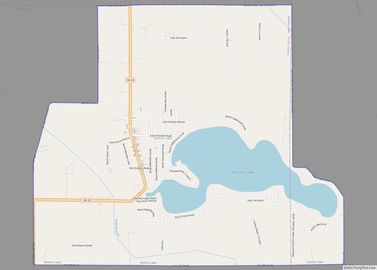
Online Interactive Map
Click on ![]() to view map in "full screen" mode.
to view map in "full screen" mode.
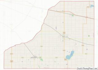
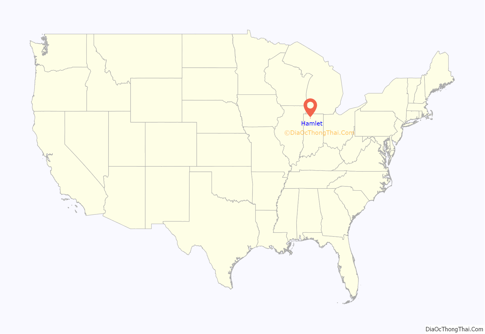
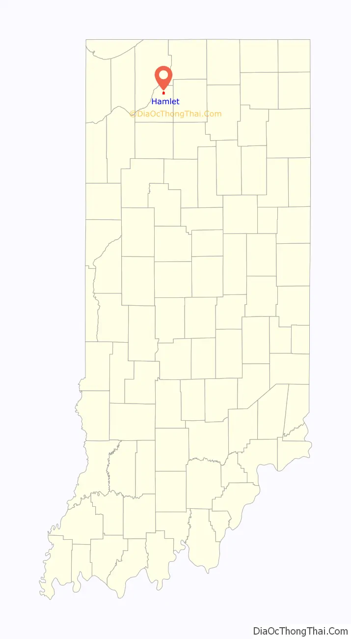
Hamlet location map. Where is Hamlet town?
History
Hamlet was named after John Hamlet, who established the town in 1863.
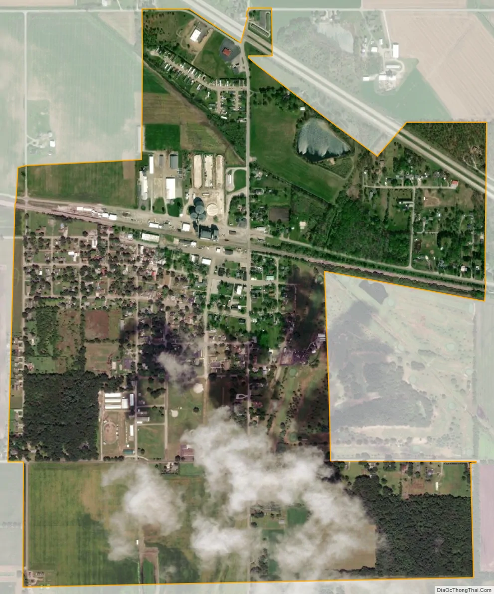
Two railroad lines once existed in Hamlet, one being a division of the former mainline of the Pennsylvania Railroad (PRR), running from Chicago, Illinois to Fort Wayne, Indiana, with the other line being the New York Central’s (NYC) Kankakee Belt, running from Elkhart, Indiana to Kankakee, Illinois. In 1968, these two railroads merged to become the Penn Central Railroad. In 1976, Penn Central, along with several other languishing eastern railroads, were in bankruptcy, and was part of the Federal Government’s takeover, creating Conrail. Both rail lines continued to see heavy use until the late 1970s under Conrail. By the early 1980s, the Kankakee Belt had been abandoned and removed, and the former PRR mainline’s traffic had dropped dramatically, due to redundant east/west Conrail lines. Today, what remains of the former PRR mainline is operated by the Chicago, Fort Wayne & Eastern Railroad (CF&E), which services Hamlet’s large CO-OP grain elevator during the fall harvest rush.
Hamlet was requested a Dollar General in 2020 and construction was completed in 2021. The Hamlet post office is in operation since 1864.
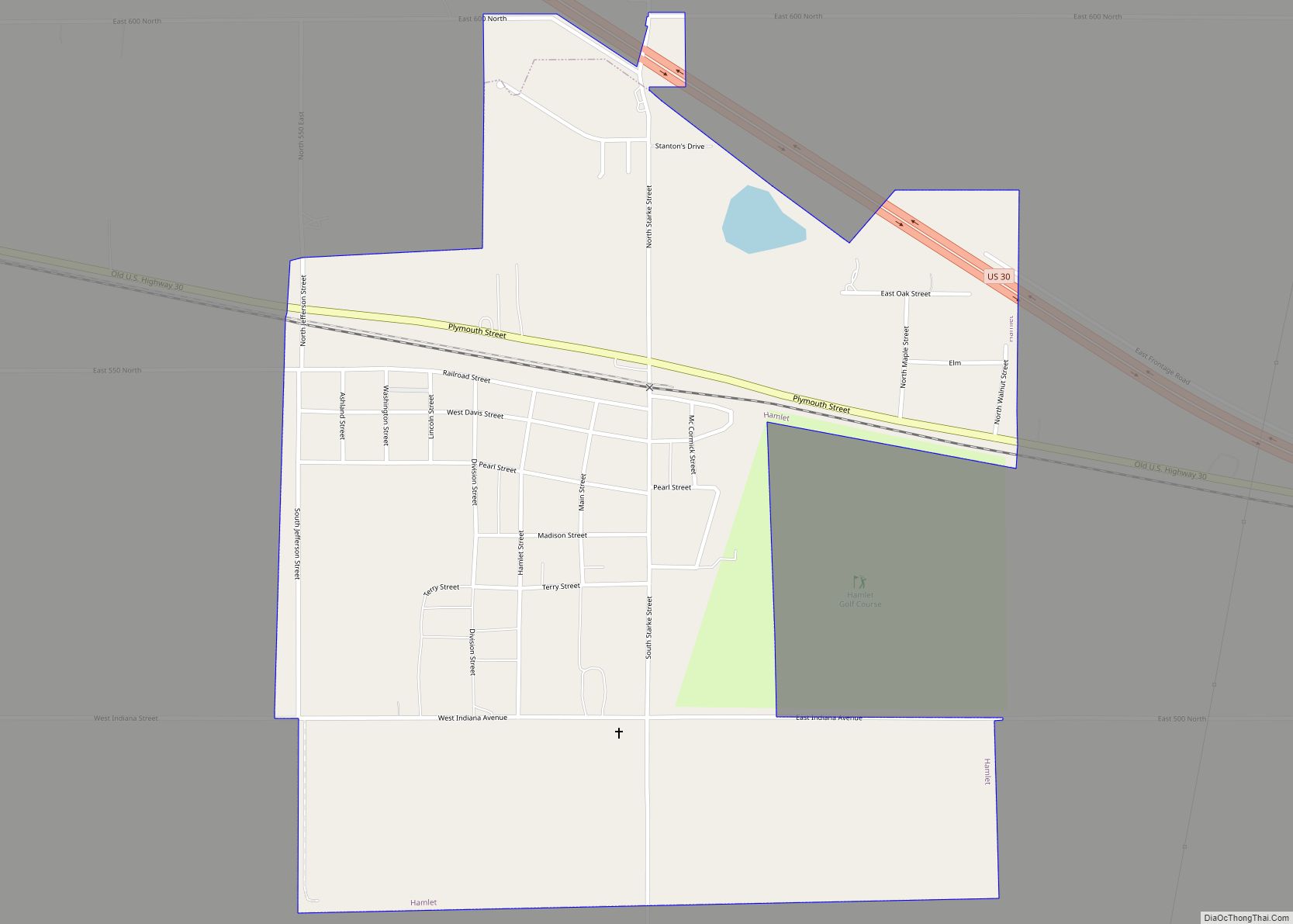
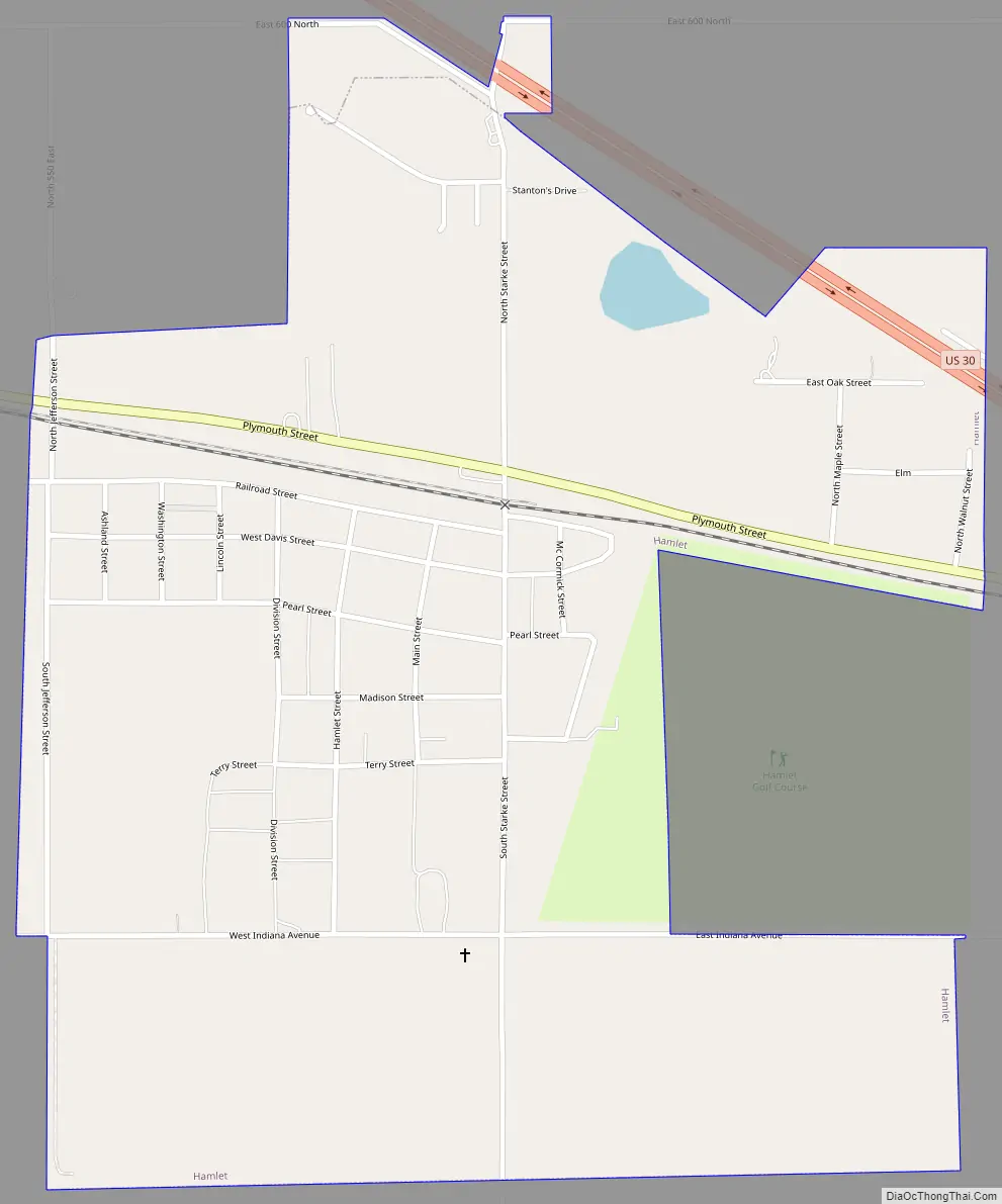
Hamlet Road Map
Hamlet city Satellite Map
Geography
The Town of Hamlet was originally on both sides of US 30. In 1926 US 30 was realigned with the Indiana Realignment. U.S. Route 30 bypasses Hamlet, about a half mile to the north. It is about 2 mi (3.2 km) east of highway U.S. 35.
According to the 2010 census, Hamlet has a total area of 0.98 square miles (2.54 km), of which 0.97 square miles (2.51 km) (or 98.98%) is land and 0.01 square miles (0.03 km) (or 1.02%) is water.
See also
Map of Indiana State and its subdivision:- Adams
- Allen
- Bartholomew
- Benton
- Blackford
- Boone
- Brown
- Carroll
- Cass
- Clark
- Clay
- Clinton
- Crawford
- Daviess
- De Kalb
- Dearborn
- Decatur
- Delaware
- Dubois
- Elkhart
- Fayette
- Floyd
- Fountain
- Franklin
- Fulton
- Gibson
- Grant
- Greene
- Hamilton
- Hancock
- Harrison
- Hendricks
- Henry
- Howard
- Huntington
- Jackson
- Jasper
- Jay
- Jefferson
- Jennings
- Johnson
- Knox
- Kosciusko
- LaGrange
- Lake
- Lake Michigan
- LaPorte
- Lawrence
- Madison
- Marion
- Marshall
- Martin
- Miami
- Monroe
- Montgomery
- Morgan
- Newton
- Noble
- Ohio
- Orange
- Owen
- Parke
- Perry
- Pike
- Porter
- Posey
- Pulaski
- Putnam
- Randolph
- Ripley
- Rush
- Saint Joseph
- Scott
- Shelby
- Spencer
- Starke
- Steuben
- Sullivan
- Switzerland
- Tippecanoe
- Tipton
- Union
- Vanderburgh
- Vermillion
- Vigo
- Wabash
- Warren
- Warrick
- Washington
- Wayne
- Wells
- White
- Whitley
- Alabama
- Alaska
- Arizona
- Arkansas
- California
- Colorado
- Connecticut
- Delaware
- District of Columbia
- Florida
- Georgia
- Hawaii
- Idaho
- Illinois
- Indiana
- Iowa
- Kansas
- Kentucky
- Louisiana
- Maine
- Maryland
- Massachusetts
- Michigan
- Minnesota
- Mississippi
- Missouri
- Montana
- Nebraska
- Nevada
- New Hampshire
- New Jersey
- New Mexico
- New York
- North Carolina
- North Dakota
- Ohio
- Oklahoma
- Oregon
- Pennsylvania
- Rhode Island
- South Carolina
- South Dakota
- Tennessee
- Texas
- Utah
- Vermont
- Virginia
- Washington
- West Virginia
- Wisconsin
- Wyoming