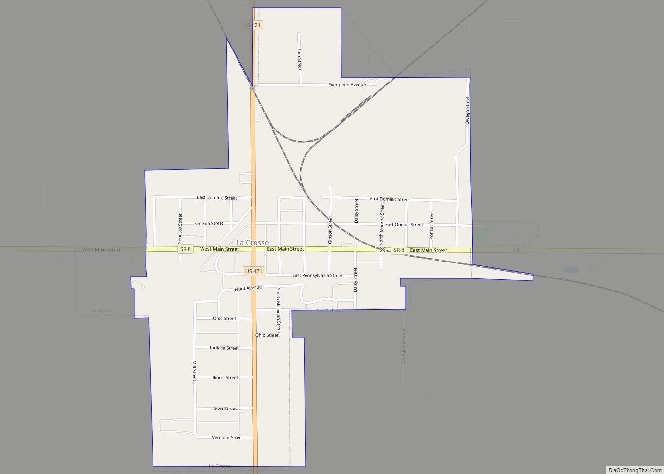
La Crosse is a town in LaPorte County, Indiana, United States. The population was 551 at the 2010 census. It is included in the Michigan City, Indiana–La Porte, Indiana Metropolitan Statistical Area.
| Name: | La Crosse town |
|---|---|
| LSAD Code: | 43 |
| LSAD Description: | town (suffix) |
| State: | Indiana |
| County: | LaPorte County |
| Elevation: | 676 ft (206 m) |
| Total Area: | 0.57 sq mi (1.47 km²) |
| Land Area: | 0.57 sq mi (1.47 km²) |
| Water Area: | 0.00 sq mi (0.00 km²) |
| Total Population: | 555 |
| Population Density: | 975.40/sq mi (376.81/km²) |
| ZIP code: | 46348 |
| Area code: | 219 |
| FIPS code: | 1840662 |
| GNISfeature ID: | 0449678 |
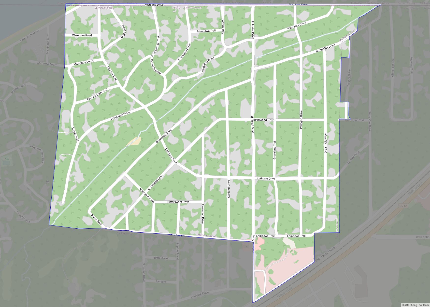
Online Interactive Map
Click on ![]() to view map in "full screen" mode.
to view map in "full screen" mode.
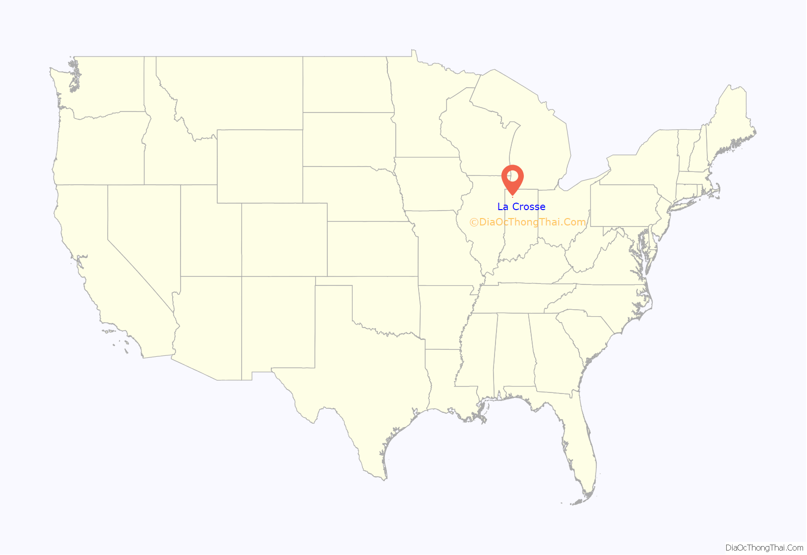
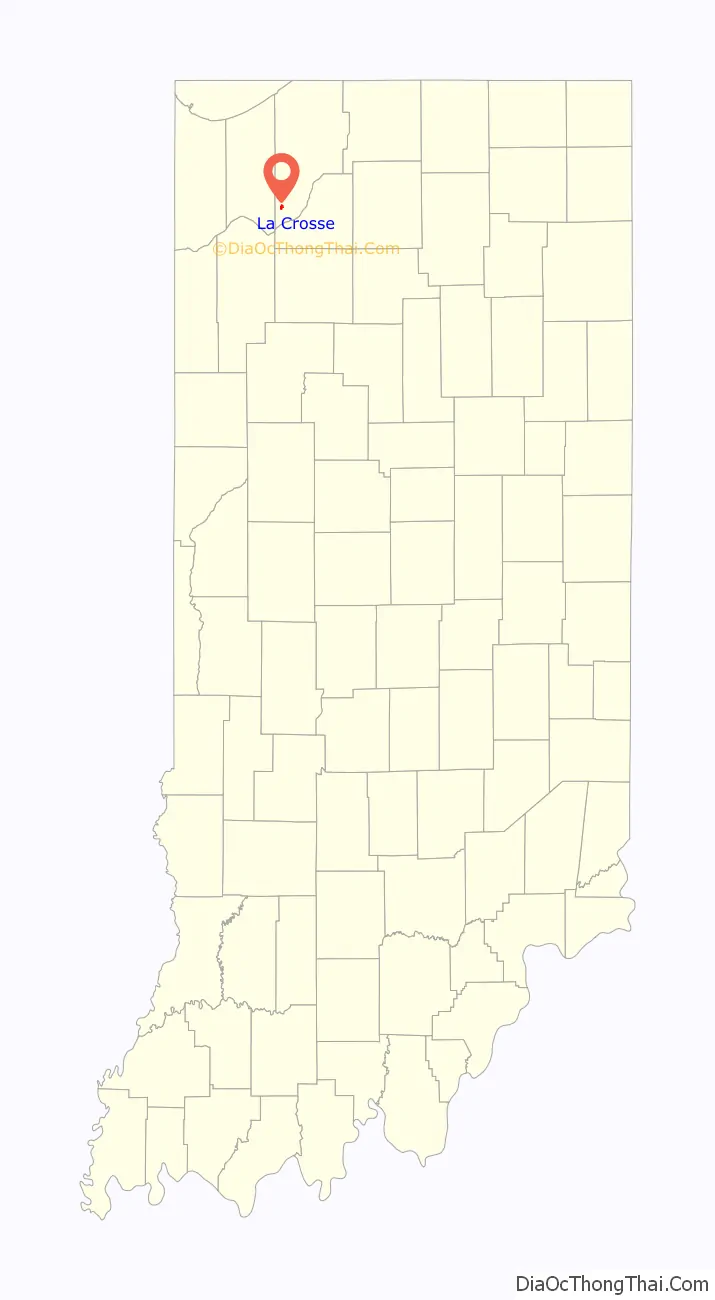
La Crosse location map. Where is La Crosse town?
History
La Crosse is derived from the French meaning “the crossing”, and it was so named from its location at the junction or crossing of five railroads. The five railroads were:
- Monon Railroad
- Chicago and Indiana Coal Railway (later the Chicago and Eastern Illinois and the Chicago, Attica and Southern)
- Chicago and West Michigan Railway (later the Pere Marquette)
- Pittsburgh, Cincinnati, Chicago and St. Louis Railroad (later the Pennsylvania Railroad)
- Chicago, Cincinnati and Louisville Railroad (later the C&O)
Since 2004, La Crosse has been the headquarters of the Chesapeake and Indiana Railroad, which owns portions of former C&O and Pere Marquette trackage.
The La Crosse post office opened in 1921.
La Crosse Road Map
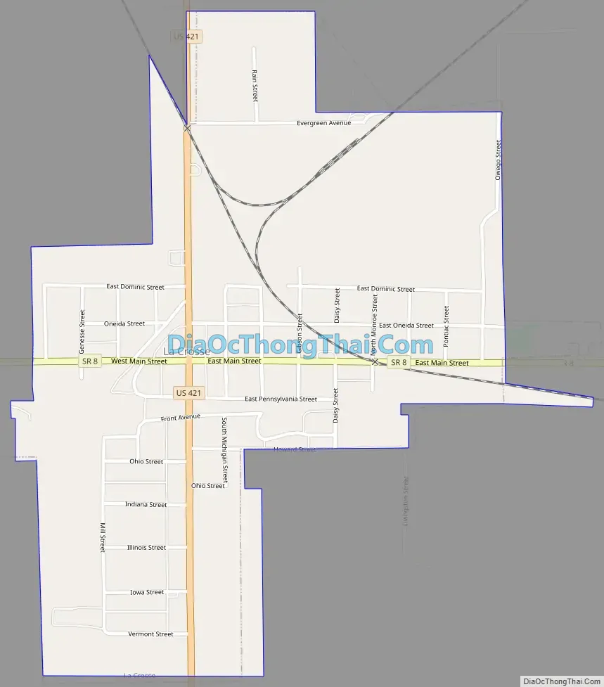
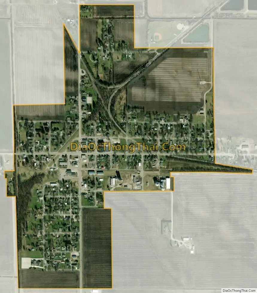
La Crosse city Satellite Map
Geography
La Crosse is located at 41°19′5″N 86°53′23″W / 41.31806°N 86.88972°W / 41.31806; -86.88972 (41.317924, -86.889831).
According to the United States Census Bureau, La Crosse has a total area of 0.51 square miles (1.32 km), all land.
See also
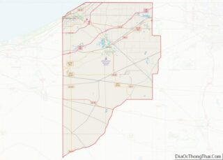
Map of Indiana State and its subdivision:- Adams
- Allen
- Bartholomew
- Benton
- Blackford
- Boone
- Brown
- Carroll
- Cass
- Clark
- Clay
- Clinton
- Crawford
- Daviess
- De Kalb
- Dearborn
- Decatur
- Delaware
- Dubois
- Elkhart
- Fayette
- Floyd
- Fountain
- Franklin
- Fulton
- Gibson
- Grant
- Greene
- Hamilton
- Hancock
- Harrison
- Hendricks
- Henry
- Howard
- Huntington
- Jackson
- Jasper
- Jay
- Jefferson
- Jennings
- Johnson
- Knox
- Kosciusko
- LaGrange
- Lake
- Lake Michigan
- LaPorte
- Lawrence
- Madison
- Marion
- Marshall
- Martin
- Miami
- Monroe
- Montgomery
- Morgan
- Newton
- Noble
- Ohio
- Orange
- Owen
- Parke
- Perry
- Pike
- Porter
- Posey
- Pulaski
- Putnam
- Randolph
- Ripley
- Rush
- Saint Joseph
- Scott
- Shelby
- Spencer
- Starke
- Steuben
- Sullivan
- Switzerland
- Tippecanoe
- Tipton
- Union
- Vanderburgh
- Vermillion
- Vigo
- Wabash
- Warren
- Warrick
- Washington
- Wayne
- Wells
- White
- Whitley
- Alabama
- Alaska
- Arizona
- Arkansas
- California
- Colorado
- Connecticut
- Delaware
- District of Columbia
- Florida
- Georgia
- Hawaii
- Idaho
- Illinois
- Indiana
- Iowa
- Kansas
- Kentucky
- Louisiana
- Maine
- Maryland
- Massachusetts
- Michigan
- Minnesota
- Mississippi
- Missouri
- Montana
- Nebraska
- Nevada
- New Hampshire
- New Jersey
- New Mexico
- New York
- North Carolina
- North Dakota
- Ohio
- Oklahoma
- Oregon
- Pennsylvania
- Rhode Island
- South Carolina
- South Dakota
- Tennessee
- Texas
- Utah
- Vermont
- Virginia
- Washington
- West Virginia
- Wisconsin
- Wyoming